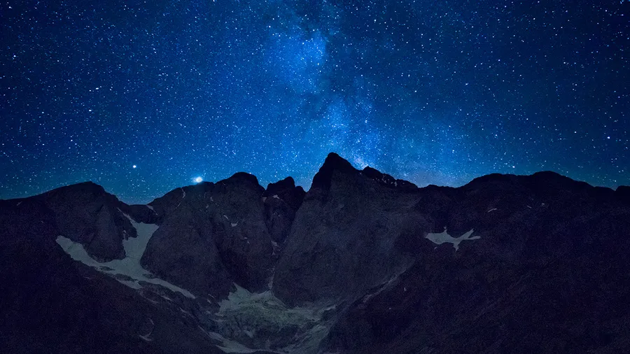
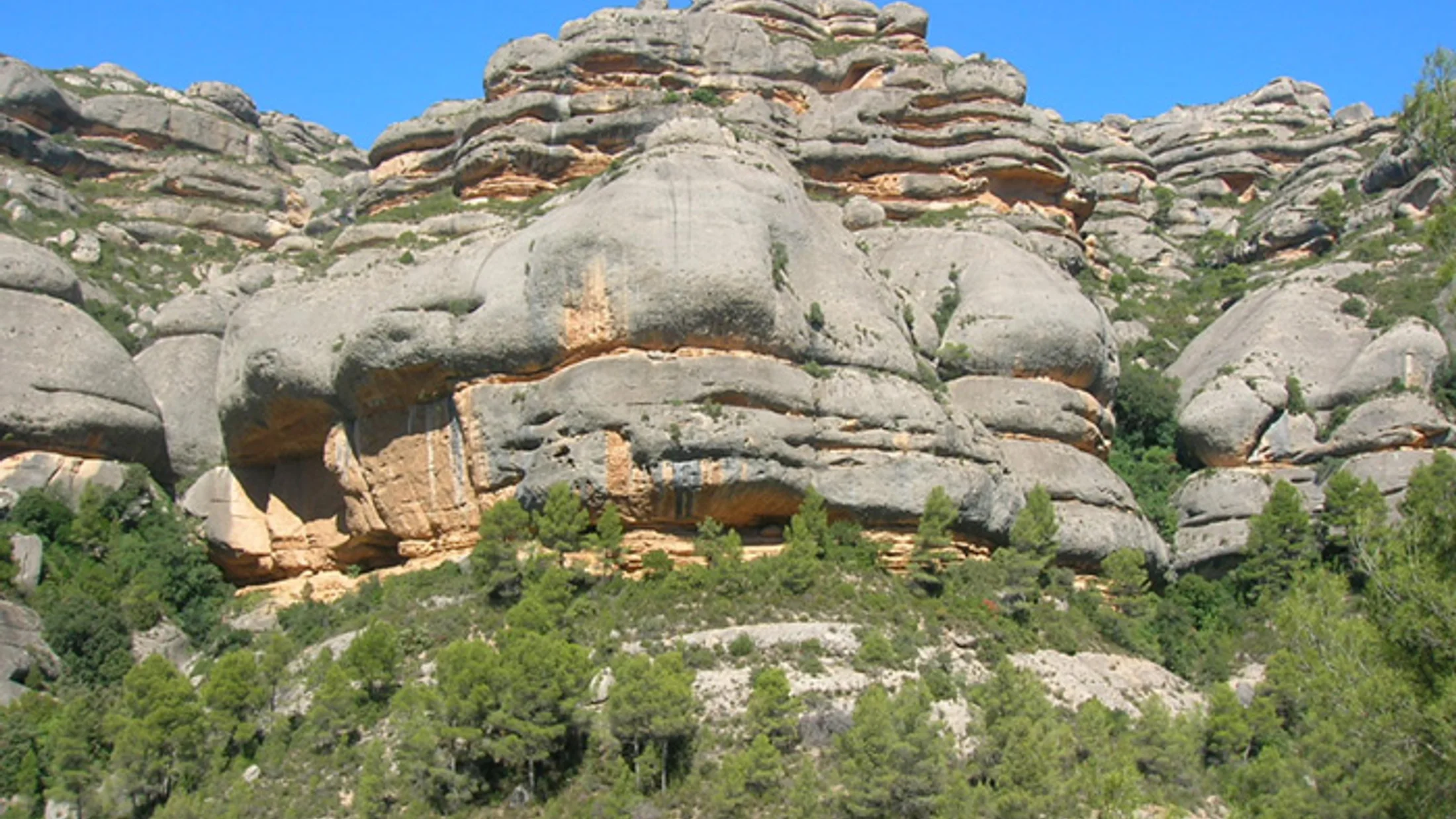
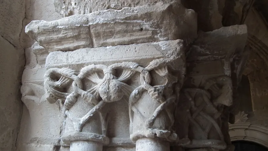
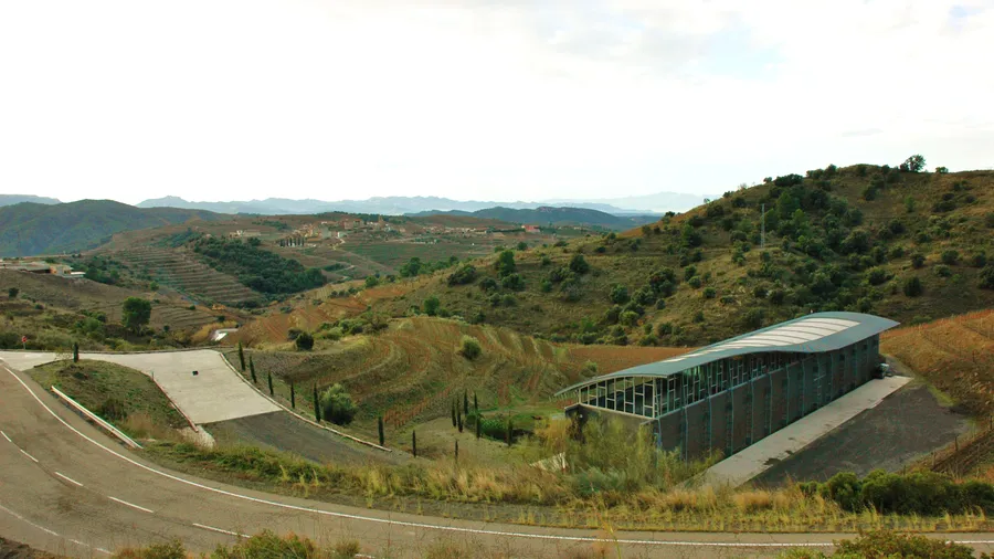
Sierra de Montsant is a wall of red conglomerates and sandstone that closes off the Priorat to the north and west, separating this wine-growing comarca from the Camp de Tarragona. Its vertical faces, up to 400 metres high in some sections, are the landscape's most immediate feature: from the bottom of the Siurana valley they rise in horizontal strata that hikers and climbers have made the sierra's defining element. The natural park protects around 9,165 hectares between elevations of 250 and 1,163 metres — the summit of Tossal de la Baltasana — encompassing holm oak woodland, red and black pine forest, cliff-face plant communities found only on the sierra, and vineyards ascending the slate terraces to 700 metres.
Montsant is one of Catalonia's benchmark sport-climbing destinations, with more than 500 equipped routes on the walls of la Falconera, les Roques de Prades and the Ermita sector. Routes span all grades from beginner to multi-pitch lines at 7b and above, and the rock quality — porous conglomerate with excellent friction — draws climbers from across Europe. The north face of la Falconera, permanently shaded in summer, becomes a cool refuge for climbers when temperatures in the valley exceed 30°C.
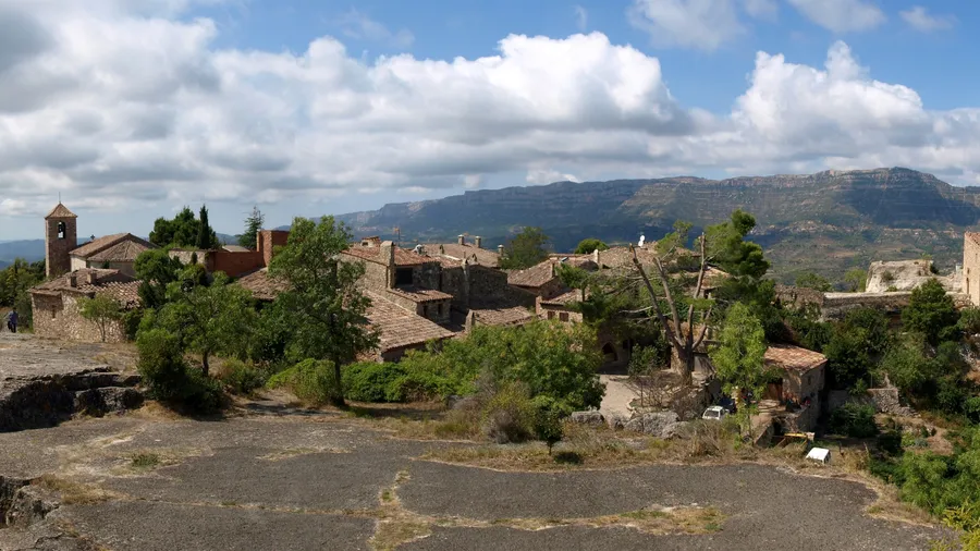
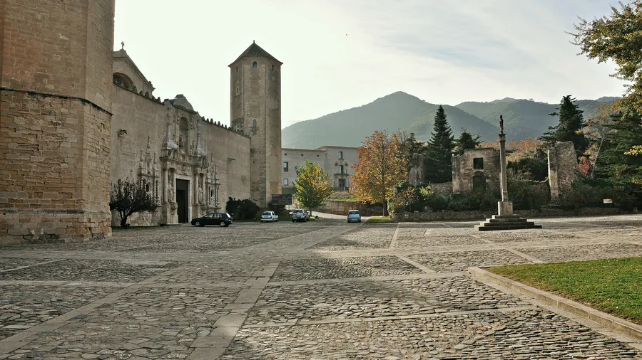
Hiking inside the park follows three main natural corridors: the Serra path traversing the main ridge from west to east for about 22 kilometres to Tossal de la Baltasana; the track skirting the base of the walls heading south; and the routes connecting Priorat villages — Cornudella de Montsant, La Morera de Montsant, Scala Dei — to viewpoints and springs. The most frequented starting point is Cornudella, from where the Camí de la Serreta reaches the ridgeline in about five kilometres with 600 metres of ascent. The viewpoints at Creu de la Falconera and la Cogulla offer views over the Siurana reservoir, Priorat vineyards and, on clear days, the Camp de Tarragona coast.
Montsant's flora combines Mediterranean communities on lower slopes — kermes oak (Quercus coccifera), lentisk (Pistacia lentiscus), dwarf fan palm (Chamaerops humilis) — with cliff-face plant communities exclusive to the walls: several endemic Saxifraga species, pellitory-of-the-wall (Parietaria officinalis) and rusty-back fern (Asplenium ceterach). Wildlife includes Spanish ibex (Capra pyrenaica), now well established after reintroduction; Bonelli's eagle (Aquila fasciata), which nests in the conglomerate walls; and otter (Lutra lutra) in the Siurana river. The park is also a migratory raptor corridor in spring and autumn, with records of black kites, bee-eaters and various falconids using the thermal currents generated by the limestone walls to gain altitude towards the inland valleys. The combination of habitats — from low-elevation Mediterranean scrub to summit grasslands — produces high faunal diversity within a geographically compact area.