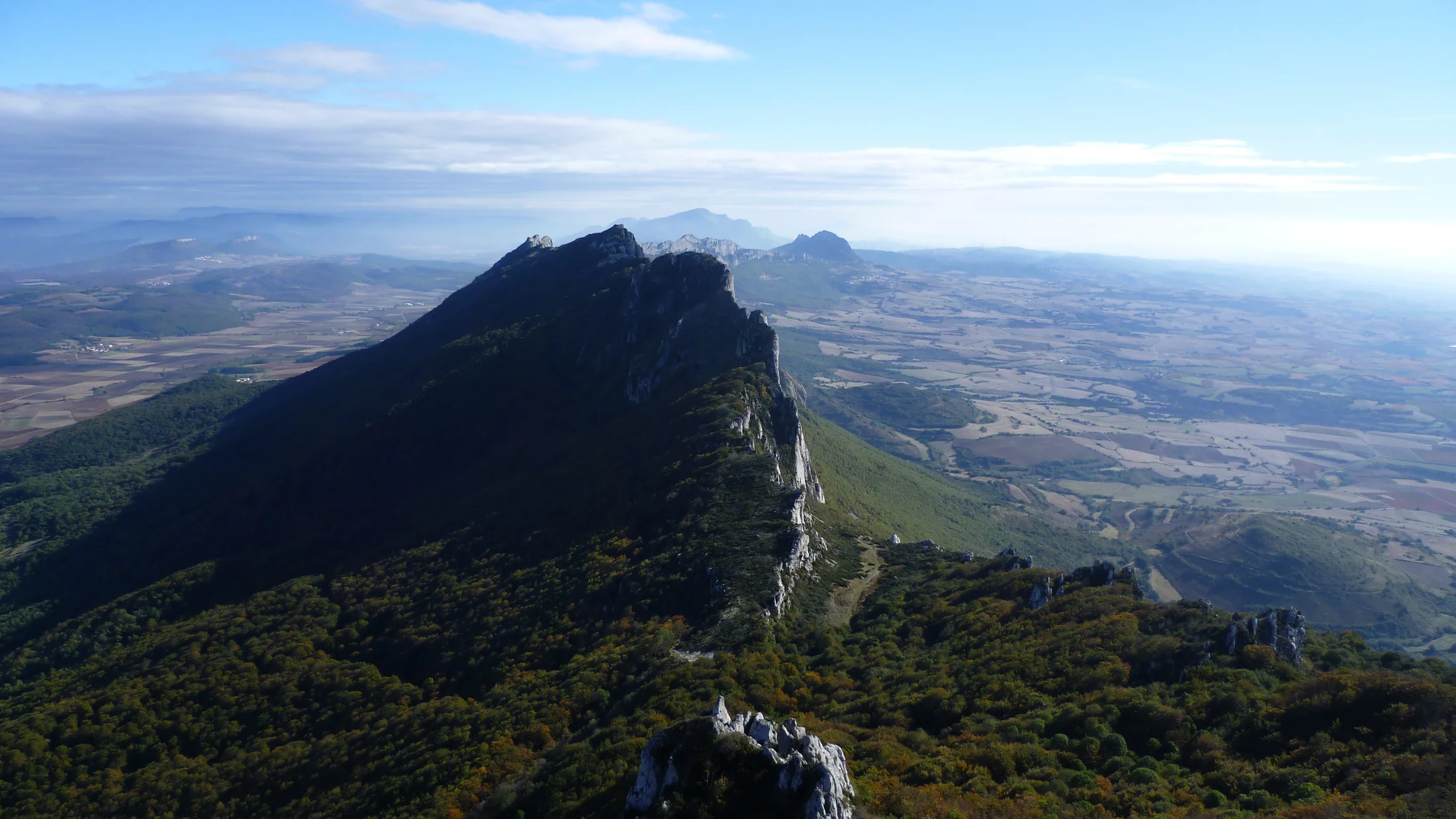
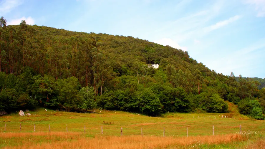
The Sierra de Cantabria is a mountain range forming a natural boundary between La Rioja and the Basque Country, running roughly 40 kilometres east to west from the Álava border to the upper Ebro. Its summits range from 900 to 1,454 metres at Toloño, the highest point, and create a decisive climatic barrier: the northern, Basque slopes receive Atlantic influence with over 1,200 mm of annual rainfall, while the southern, Riojan slopes open to a continental Mediterranean climate with hot summers and under 500 mm of rain. This dual character explains the diversity of landscapes visible from any point along the ridge.
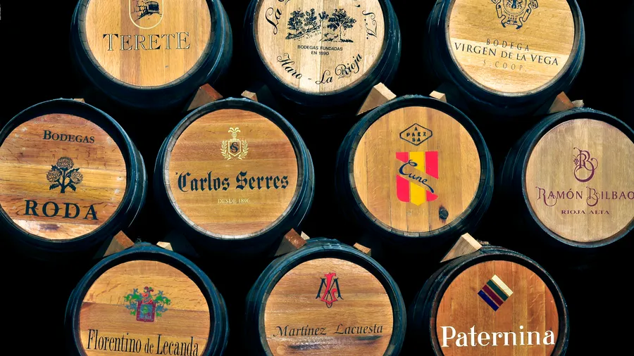
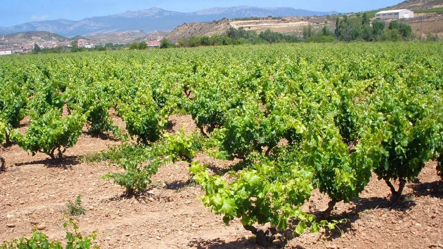
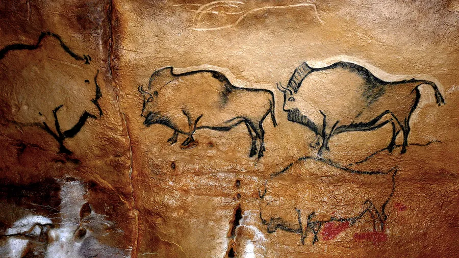
The sierra's human history is long and legible on the ground. The crags of Toloño shelter a ninth-century cave chapel dedicated to the Virgin of Toloño, the destination of an annual pilgrimage in May that draws hundreds of walkers from Labastida and other Rioja Alavesa villages. On the southern slopes, the wineries of Laguardia, Elciego, and Samaniego have for centuries exploited the sierra's protection from northern winds to cultivate vineyards ranked among the finest in the Rioja DOCa. The vertical journey from vineyard to wooded summit compresses several centuries of coexistence between livestock farming, viticulture, and forestry.
The northern slopes are dominated by beech forest (Fagus sylvatica) and sessile oak woodland (Quercus petraea) that turn gold and copper in autumn. The southern side transitions to holm oak (Quercus ilex subsp. ballota), kermes oak (Quercus coccifera), and broom scrub, with Spanish gorse (Genista hispanica) on the higher reaches. Wildlife includes roe deer (Capreolus capreolus), wild boar (Sus scrofa), griffon vulture (Gyps fulvus) — easily spotted riding thermals — and the Aesculapian snake (Zamenis longissimus), a species of restricted range on the Peninsula. The limestone crags host Alpine swift colonies (Apus melba) through the summer.
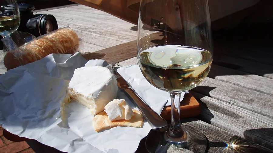
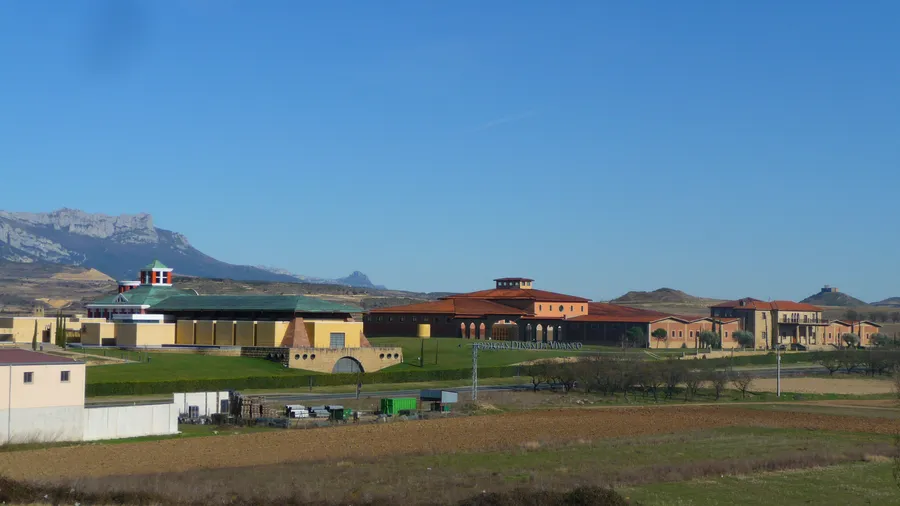
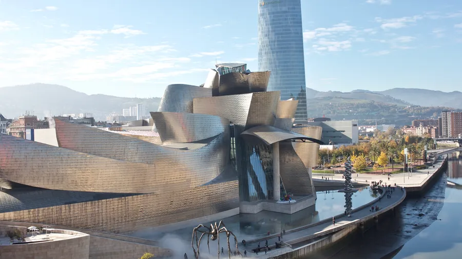
The most popular activity is long-distance hiking: the GR-38 crosses the crest from east to west and can be done in three stages using the Toloño and Conchas refuges. The ascent from Laguardia (800 m elevation gain over 10 km) and the route from Peñacerrada are the most-travelled approaches. Gastronomy is an equally strong draw: Rioja Alavesa wine, milk-fed lamb, pacharán sloe liqueur, and artisan cheeses from local farms can be combined with visits to architecturally striking wineries in Elciego (Marqués de Riscal, designed by Frank Gehry) and Laguardia. Wine-country hiking routes that descend from forest to high-altitude vineyards are the region's most distinctive offering.