The essentials of Sierra de Aitana

  • • Summit at 1,558 m with simultaneous sea and inland mountain views
  • • Golden eagles and griffon vultures nesting on the north-face crags
  • • Thermal inversions and cloud seas visible from the Menejador col
  • • Ancient Spanish junipers sculpted by the northwest wind on the ridge
  • • PR-CV 33 trail on north slopes with dense rockrose and spring lavender

Description

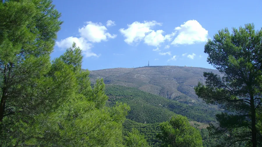
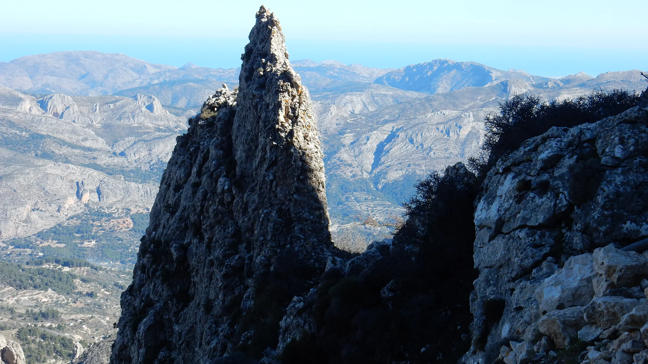
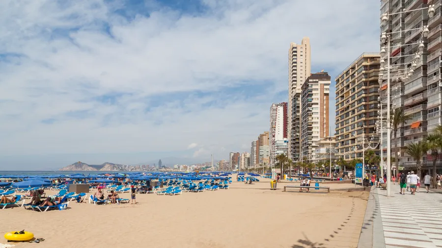
Sierra de Aitana rises to 1,558 meters, the highest point in the province of Alicante. This Baetic mountain formation stretches across the Marina Baja, Hoya de Alcoy and Condado de Cocentaina districts, covering municipalities such as Confrides, Benifato, Alcoleja, Benimantell and Sella. Together with Sierra de Serrella and Puig Campana, it forms a Site of Community Interest (SCI) within the Natura 2000 network. The contrast is striking: the Benidorm coast lies under 40 minutes away by car, yet the sierra belongs to a different world, that of the inland Mediterranean mountains.

The landscape alternates limestone ridges with deep ravines and slopes covered in Aleppo pine, juniper and holm oak woodland. The geological formations are Cretaceous and Jurassic limestone and dolomite, shaped by a system of folds and faults that define the current terrain. At higher altitudes on north-facing slopes, remnants of yew and holly survive as relics of past climates at their southern limit within the Valencia region. In spring, over a dozen wild orchid species bloom among the rocky terrain, and the scent of rosemary and thyme fills the trails climbing toward the summit. The peak is frequently wrapped in Mediterranean mists that create a humid microclimate with a mean annual temperature around 10-11 degrees Celsius.

Wildlife includes raptors such as Bonelli's eagle, eagle owl and peregrine falcon, which nest on the south-facing limestone cliffs. Wild boar roam the ravines at dawn while red foxes move through abandoned agricultural terraces that recall centuries of mountain farming. Red-legged partridge and wild rabbit inhabit the scrubland, forming the prey base for the large raptors. For birdwatchers, the rock faces are prime viewing spots, particularly between October and March when wintering raptors gather. Over 120 vertebrate species have been recorded across the sierra.

Hiking routes start from villages like Benifato (Font de Partegat) and Puerto de Tudons via the PR-CV 20, with elevation gains between 400 and 900 meters. The direct ascent from Benifato takes about 3 hours through pine forests and rocky outcrops. The Aitana-Serrella-Xorta traverse covers roughly 37 kilometers with 3,000 meters of accumulated elevation, designed for experienced hikers over two days. For intermediate levels, the ascent from Font de l'Arbre offers a gradual climb with Mediterranean views reaching the island of Ibiza, over 150 kilometers away on clear days. The summit hosts a military base closed to the public, but the geodetic marker and 360-degree viewpoint are freely accessible.

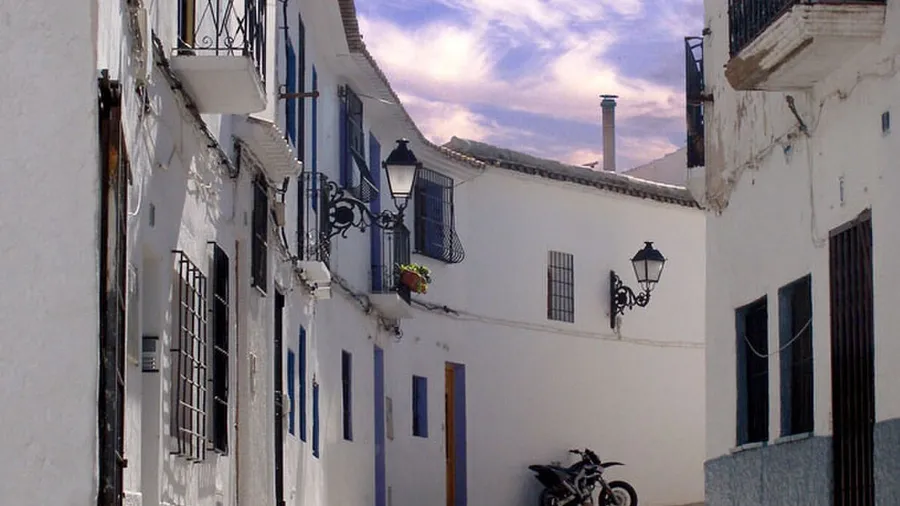
The sierra villages — Confrides, Benifato, Alcoleja, Benasau, Penaguila — keep a slow pace. Narrow streets, stone fountains and whitewashed chapels preserve a rural architecture that contrasts with the nearby tourist coast. Local cuisine revolves around the comarca's olive oil, aromatic herbs, rosemary honey and cured meats, with restaurants serving olleta alcoyana, bacalao borreta and mountain rice dishes. The local community, accustomed to hikers and cyclists, offers rural accommodation integrated into the landscape and keeps traditional village festivals alive.
Practical information for Sierra de Aitana

Everything you need to know for your visit to Sierra de Aitana

How to get there
From Alicante, take the AP-7 toward Benidorm and continue on the CV-70 toward Confrides; the drive takes roughly one hour. From Alcoy, the CV-70 connects directly with Benifato and Puerto de Tudons. Public transport is limited: the Alcoy-Benidorm bus route has few stops. A private vehicle is recommended.
Area Information
The sierra has signposted trails including the PR-CV 20 and the Aitana-Serrella-Xorta traverse. There is no visitor center within the park; information is available at the town halls of Confrides and Benifato. Nearby villages offer rural accommodation and dining.
Geography
Baetic mountain formation reaching 1,558 m. Limestone ridges, deep ravines and contrasting sun-facing and shaded slopes across the Marina Baja, Hoya de Alcoy and Condado de Cocentaina districts.
Flora & Fauna
Aleppo pine forests, junipers and holm oak dominate the slopes, with remnants of yew and holly on shaded high-altitude faces. Over a dozen wild orchid species bloom in spring. Wildlife includes Bonelli's eagle, eagle owl, peregrine falcon, wild boar and red fox.

Things to do in Sierra de Aitana

Find the best plans and things to do in Sierra de Aitana

40

What to see in Sierra de Aitana

Discover the must-see sights in Sierra de Aitana

Accommodations in Sierra de Aitana

Best accommodation options in Sierra de Aitana

Frequently asked questions about Sierra de Aitana

Get answers about Sierra de Aitana

The route from the Port de Tudons pass is the shortest: from 1,024 m elevation to the summit means only 500 m of positive gain, doable in under two hours. The path is marked with stone cairns and GR blazes. The ascent from Sella is longer (900 m elevation gain) but offers better views over the Marina Baixa valley throughout the climb.
Cloud sea inversions are most frequent between October and February, when the temperature contrast between cold mountain air and the warmer, humid Mediterranean air is greatest. The Menejador viewpoint at 1,352 m is the standard observation spot. Best conditions typically follow cold fronts that leave clear skies at altitude but fog in the valleys below.
Yes, the Iberian ibex (Capra pyrenaica hispanica) is present on the north-face crags and rocky outcrops above the Amadorio gorge. Best sighting opportunities are at dawn and dusk, when groups descend to feed in mid-slope meadows. Move quietly on the upper trails and bring binoculars for a clear view.
Snow falls irregularly between December and March, usually in short 24–48 hour episodes. It is common for the summit to wake under fresh snow while the south-facing slopes are clear by midday. In dry winters there may be no snow at all. Check the AEMET precipitation radar before planning a snow photography day.
In summer, start before 7 am from the base, carry at least two litres of water per person, sun protection and a hat. The summit is 8–10 °C cooler than valley villages, but exposed sections between 10 am and 2 pm can be very demanding. Trekking poles are useful on the descent over loose limestone scree.