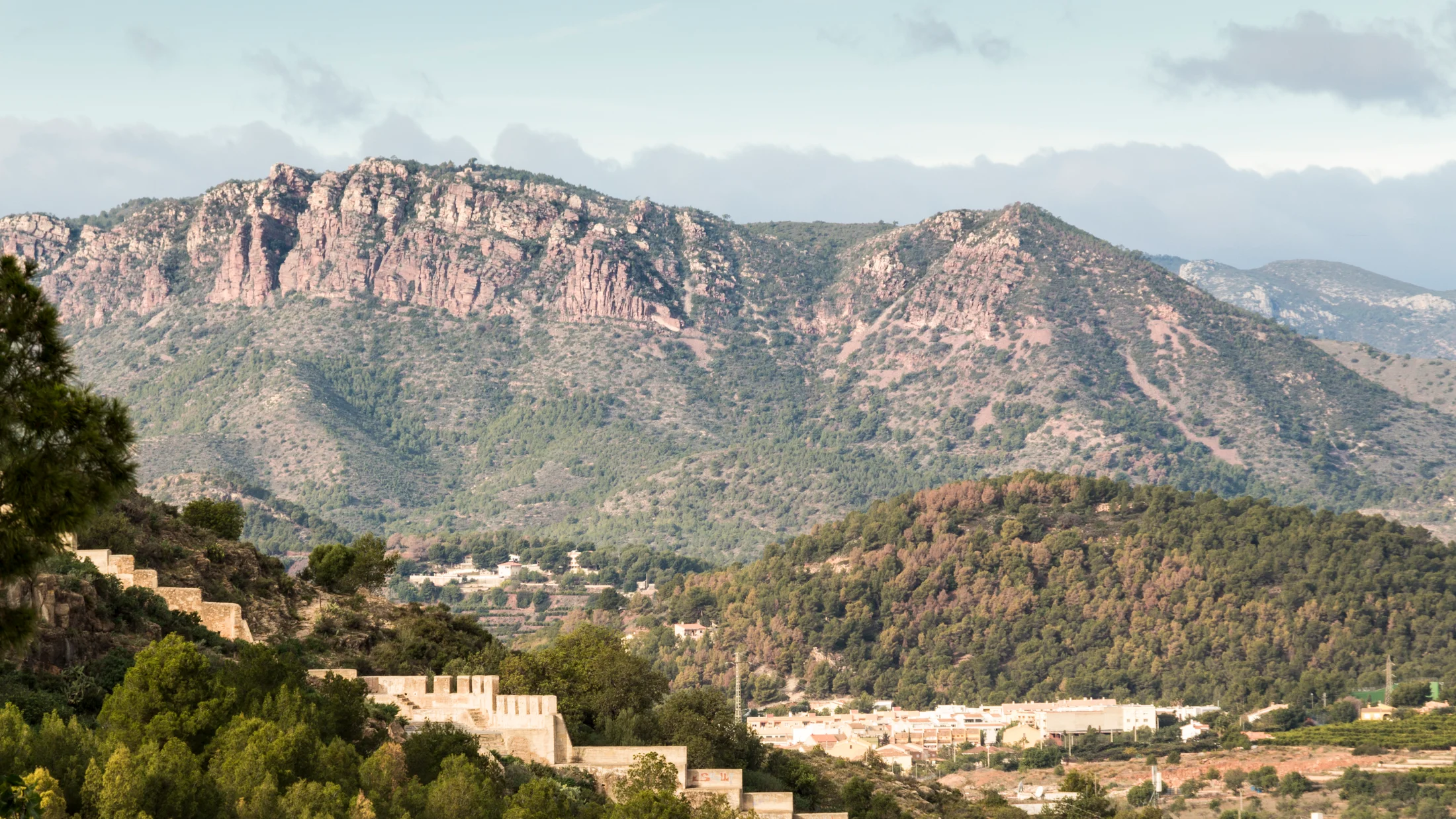
Sierra Calderona stretches across 18,019 hectares between the provinces of Valencia and Castellón, forming a natural barrier between the Palancia and Turia rivers north of metropolitan Valencia. Peaking at Montemayor (1,012 m), the range was declared a natural park in 2002 and preserves one of the last cork oak forests in the Comunitat Valenciana on siliceous soil, surrounded by Mediterranean pine woodland, rosemary-and-thyme scrub and deep ravines where white and pink oleander blooms in spring. Just 30 km from Valencia city centre, it is the most accessible sierra from the capital and a biodiversity haven for the city.
The terrain alternates ridges of rodeno — the distinctive red siliceous sandstone of the area, coloured by the iron oxide cementing quartz grains — with valleys of Aleppo pine and cork oak. The Garbí, Olocau and Calderona ravines create moist corridors where poplars, willows and oleander contrast with the dryness of sun-facing slopes. Garbí peak (601 m), at the sierra's eastern end, serves as a natural viewpoint: from its summit you can see the Albufera lagoon, Valencia port, the Columbretes Islands on clear days and, in extreme visibility, the outline of Ibiza on the horizon. The 4 km trail from the Portaceli charterhouse, with 350 m of elevation gain through pine forest and rodeno outcrops, is one of the park's most popular routes.
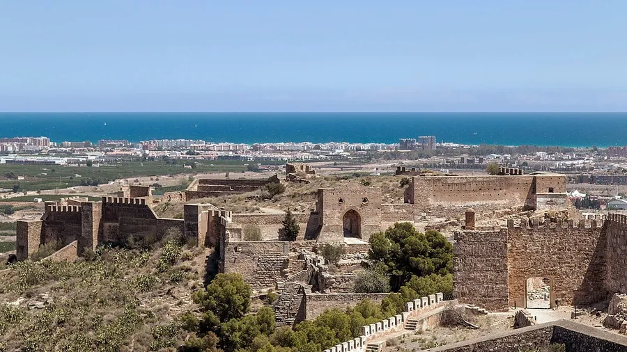
Monastic heritage defines the cultural identity of the territory. The Portaceli Charterhouse, founded in 1272, is the oldest inhabited charterhouse in Spain; its outer cloister and church are open to visitors during set hours. The Vall de Crist Charterhouse in Altura preserves 14th-century ruins with ongoing archaeological excavations gradually revealing the original layout. The 15th-century Sant Esperit Convent in Gilet offers lodging in its guesthouse for those seeking retreat and silence. These three monasteries, linked by marked trails, form the Ruta de los Monasterios de la Sierra Calderona, a two-to-three-day itinerary combining heritage and hiking.
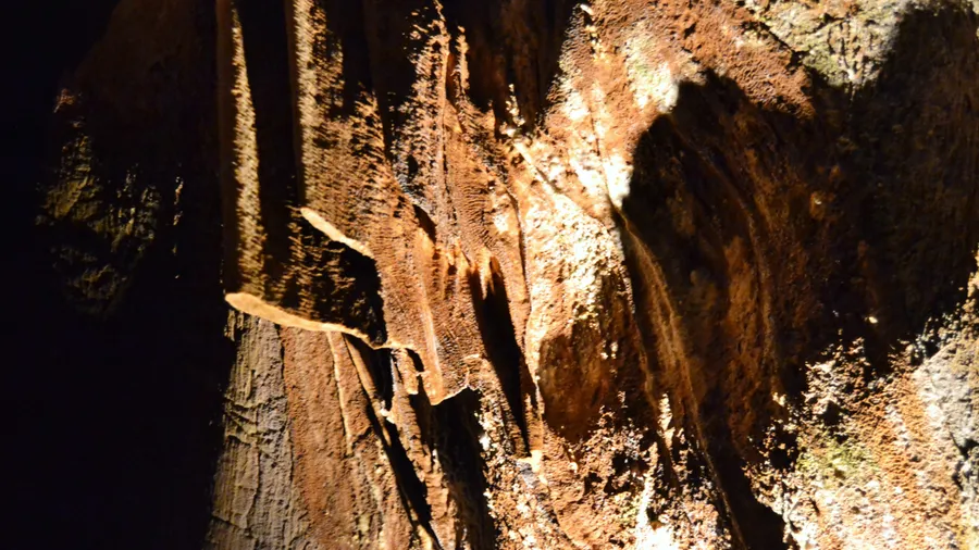
The natural park's trail network includes over 30 routes at various levels. The GR-10 crosses the sierra east to west over 60 km. For day hikers, circular routes from Olocau (32.3 km of paths within the municipality), Serra and Náquera offer 2-to-5-hour walks through pine forest and ravines. Mountain biking finds forest tracks and singletracks with 300-600 m elevation changes. Wildlife includes over 140 bird species — among them Bonelli's eagle, eagle owl and peregrine falcon — plus genet, badger, wildcat and horseshoe bats in the rodeno cavities. Average annual temperature is 17 °C, with irregular rainfall of 350-600 mm giving the landscape an alternation between dry slopes of aromatic scrub and cool hollows where greenery and the scent of resin persist throughout the year.