Montnegre i el Corredor Natural Park
The essentials of Montnegre i el Corredor Natural Park
- • Beech groves at 700 m altitude just 10 km from the Mediterranean, among Catalonia's southernmost
- • Extensive cork oak forests, legacy of a cork industry active until the mid-20th century
- • Ca l'Arenes dolmen (c. 2500 BC) and Corredor sanctuary on the SL-C 80 trail
- • Pine marten, edible dormouse and goshawk: Central European forest fauna on a coastal range
- • Spain's first Urban Quiet Park, certified by Quiet Parks International in 2022
Description
Practical information for Montnegre i el Corredor Natural Park
Everything you need to know for your visit to Montnegre i el Corredor Natural Park
How to get there
How to get there
From Barcelona, take the C-32 or AP-7 towards Maresme. Main access points via Dosrius (C-32 exit 100) or Sant Celoni (AP-7). By train, Renfe Rodalies line R1 reaches Arenys de Mar or Pineda de Mar, from where you continue by car or local bus. The most direct access to El Corredor is via the road from Dosrius to Canyamars.
Area Information
The park information centre is at the Can Bosc del Far farmhouse in Dosrius. Recreational areas at Font de Perdegatxo and around the Corredor sanctuary. Dosrius, Sant Celoni and Arenys de Munt offer dining and rural accommodation. The Palafolls Cork Fair takes place in autumn.
Geography
Two massifs of the Catalan Coastal Range separated by the Vallgorguina and Arenys streams. El Corredor reaches 633 m and Montnegre 760 m (Turó Gros). Granite and Palaeozoic slate substrate. Eastern face towards the sea, western face towards the Vallès.
Flora & Fauna
Holm oak on sunny slopes, cork oak on mid-level hillsides and beech with African oak in Montnegre's shaded areas. Understorey of strawberry tree, lentisk and heather. Fauna: pine marten, edible dormouse, garden dormouse, wild boar, genet. Birds: goshawk, green woodpecker, jay. Amphibians: palmate newt.
Accommodations in Montnegre i el Corredor Natural Park
Best accommodation options in Montnegre i el Corredor Natural Park
Frequently asked questions about Montnegre i el Corredor Natural Park
Get answers about Montnegre i el Corredor Natural Park
How do you get to the Montnegre i el Corredor Natural Park from Barcelona?
The most direct option by car is along the C-32 to the Dosrius exit, from where a local road leads to the park centre in about 15 minutes. By train, Rodalies line R1 reaches Arenys de Mar or Pineda de Mar, but from the station you need onward transport (taxi or local bus) to access the main trailheads.
Are there really beech trees so close to the sea?
Yes. On the shaded north-facing slopes of Montnegre above 600 metres, small beech stands (Fagus sylvatica) form one of the southernmost populations in Catalonia. The combination of altitude, north-facing aspect and marine humidity creates a microclimate that allows this typically Central European species to survive just 10 kilometres from the Mediterranean in a straight line.
Which route would you recommend for a first visit?
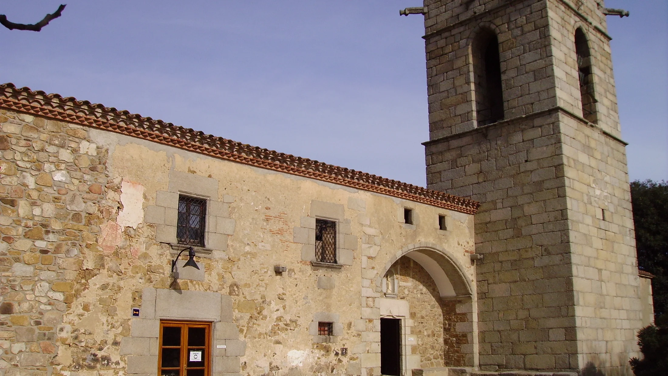
The SL-C 80 circular trail from Can Bosc del Far in Dosrius is the most representative. It covers about 8 kilometres and combines cork oak forest, the Ca l'Arenes dolmen (dated to around 2500 BC) and the Corredor sanctuary with sea views. Difficulty is moderate and it takes about 3 hours.
Can you mountain bike in the park?
Yes. The forest tracks connecting the farmhouses across the interior are open to bicycles and offer routes of varying distance and elevation. Narrow trails marked as pedestrian-only are not open to cyclists. The terrain is predominantly wide track with good surface, suitable for cross-country mountain biking.
What does it mean to be an Urban Quiet Park?
In 2022, Quiet Parks International certified this site as Spain's first Urban Quiet Park. This means that ambient noise levels measured in the park's interior zones meet natural silence standards, despite being surrounded by the Maresme urban areas. The certification promotes acoustic conservation as an added landscape value.