El Torcal de Antequera
The essentials of El Torcal de Antequera
- • UNESCO Global Geopark since 2016: internationally recognised geological significance
- • Yellow trail (2.8 km): passes El Sombrero, El Tornillo and the Maclas formations in 1 h 30 min
- • Ophrys orchids in bloom from March to May across open limestone pavement areas
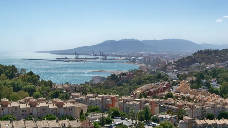
- • Ventanillas viewpoint with views over Antequera and the Bay of Málaga on clear days
- • Red-billed chough and peregrine falcon nesting on vertical rock faces
Description
Practical information
Everything you need to know for your visit to El Torcal de Antequera
How to get there
How to get there
From Antequera take the A-7075 towards El Torcal: 13 km to the visitor centre. From Málaga via the A-45 to Antequera then the A-7075: 55 km total, approximately 50 minutes. There is no regular public transport to the visitor centre.
Area Information
El Torcal lies within the municipality of Antequera, in the Málaga comarca of the same name, about 45 km from Málaga city. The natural area borders the Antequera plain to the north and the Sierra del Jobo to the south.
Geography
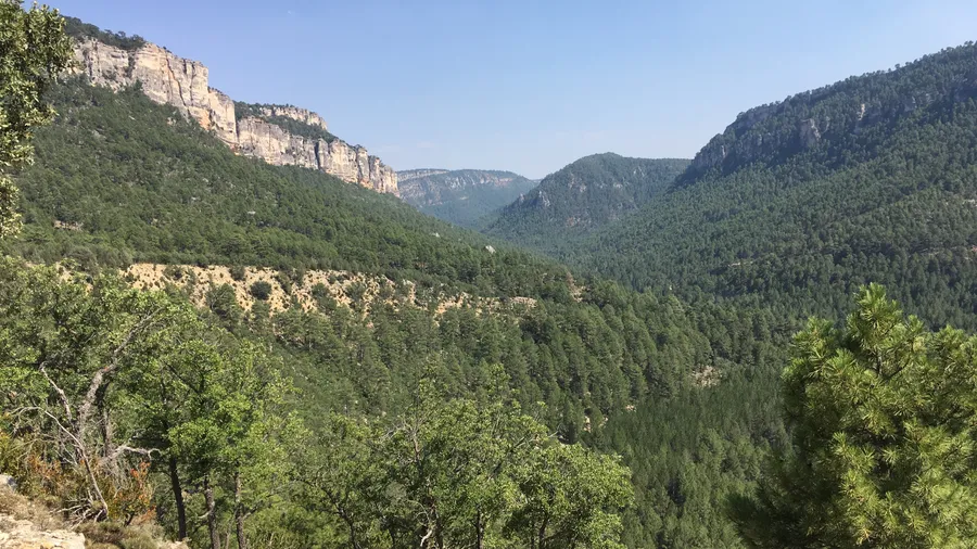
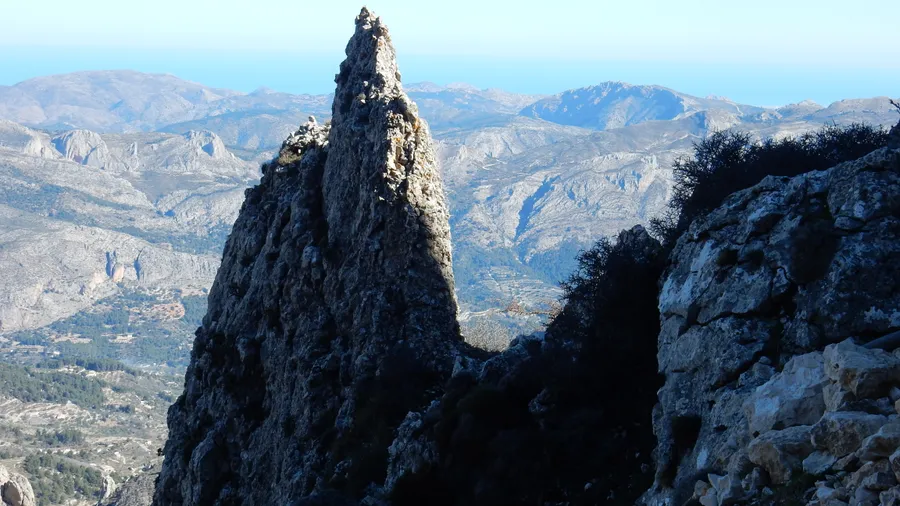
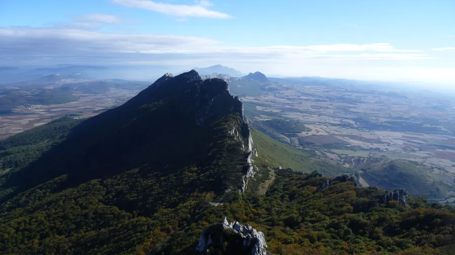
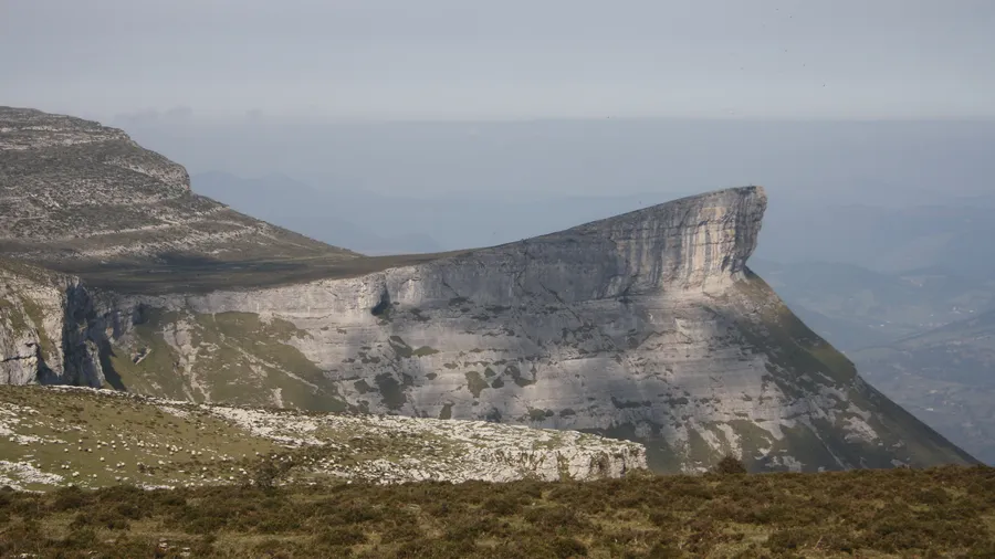
Karst plateau of Jurassic limestone (Middle Jurassic, 150 Ma) shaped by differential erosion. The surface is covered in limestone pavements, sinkholes and block fields. The underground karst includes caves and galleries that are still partially unexplored.
Flora & Fauna
Mediterranean calcicole flora: holm oak, Portuguese oak, kermes oak, mastic and Ophrys orchids from March to May. Wildlife: peregrine falcon, common kestrel, red-billed chough, wildcat and common genet. Melanargia butterflies in summer.
Things to do
Find the best plans and things to do in El Torcal de Antequera
20
El Torcal de Antequera
Hiking
Desde
€65.00
Accommodations
Best accommodation options in El Torcal de Antequera
Gallery
Photos and images of El Torcal de Antequera
Frequently Asked Questions
Get answers about El Torcal de Antequera
How long does the main trail take to complete?
The yellow route, which is the most complete trail accessible without a guide, covers 2.8 km with an average duration of 1 hour 30 minutes. The green route is shorter: 1.5 km and around 45 minutes. The red route, at 4.7 km, takes approximately 3 hours and requires a licensed guide.
Can El Torcal be visited with young children?
Yes. The green route is perfectly accessible for families with children: it is flat, short and passes through the most striking formations. Children typically respond very well to the environment, whose scale and shapes capture attention naturally. Closed footwear with non-slip soles is recommended, along with water.
When do the orchids flower?
Wild orchids, particularly the Ophrys species that mimic insects, flower mainly from late March through May. This is the best period for botanical observation, and also one of the busiest periods for visitors. The first weeks of April usually represent the peak of flowering.
Is there a risk of getting lost in El Torcal?
On the marked trails the risk is minimal: colour-coded posts are visible every few metres and the routes are well defined. Off-trail, the risk of disorientation is real given the block labyrinth — which is why regulations require a licensed guide for any unmarked route. The emergency number in rural areas is 112.
Can El Torcal be photographed in the early morning?
This is the moment recommended by most nature photographers: the raking light of the first hours highlights the rock textures and casts long shadows between the blocks. The visitor centre opens relatively early in season; it is advisable to check exact opening times before your visit. On clear winter days the air is particularly clean and visibility is at its maximum.
