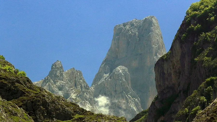
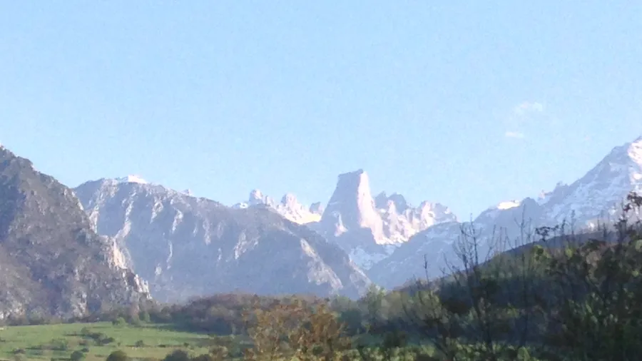
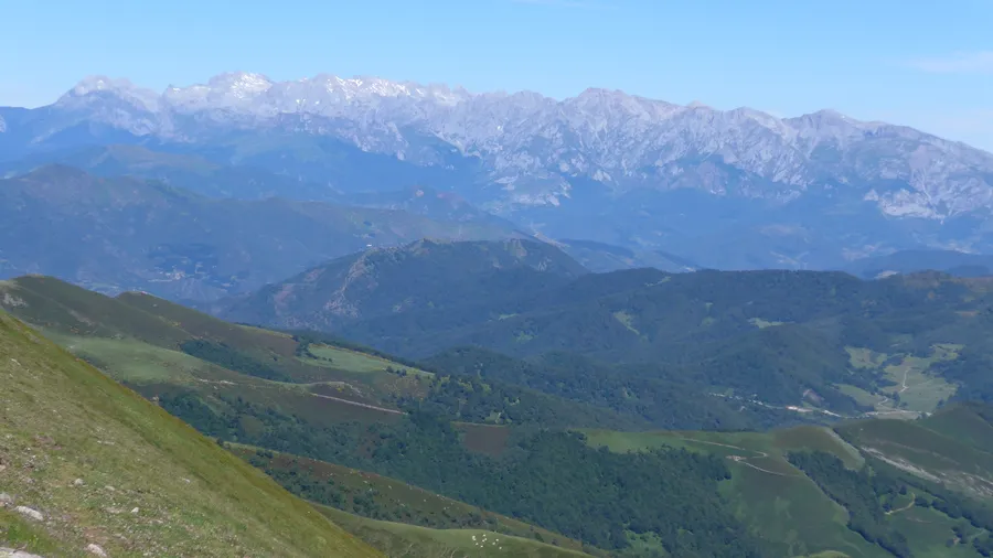
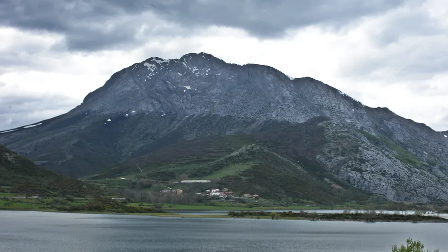
Sierra de Peña Sagra is a 16-kilometre ridge that separates the headwaters of the Nansa valley from the Liébana valley and Polaciones in south-western Cantabria. Its main summit, Cornón de Peña Sagra, stands at 2,047 metres and ranks among the most prominent peaks of the Cantabrian Mountains outside the Picos de Europa. For 15 consecutive kilometres the ridge stays above 1,800 metres, with intermediate summits at Cascuerres (1,561 m), El Tumbo (1,841 m), Picu Paraes (1,934 m) and Cantu Trespeñuela (1,961 m), forming a natural barrier that separates Atlantic climates to the north from more continental influences to the south.
The range is classified as a ZEPA (Special Protection Area for Birds), a designation reflecting the ecological value of its high-mountain habitats for species such as golden eagle, Egyptian vulture, griffon vulture and wallcreeper. Above 1,600 metres, alpine meadows support a stable population of Cantabrian chamois, whose silhouettes against the ridgeline are one of the area's most recognisable images. Iberian wolf holds territory in the hillside forests, and native trout and Pyrenean desman — one of the peninsula's most unusual mammals — inhabit the lower streams.
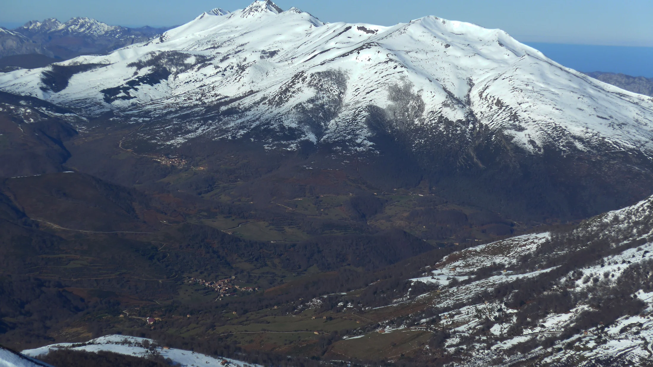
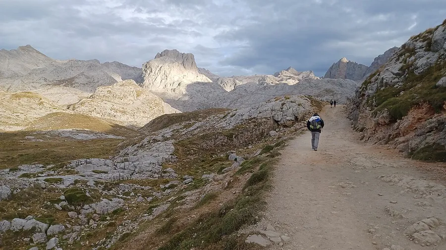
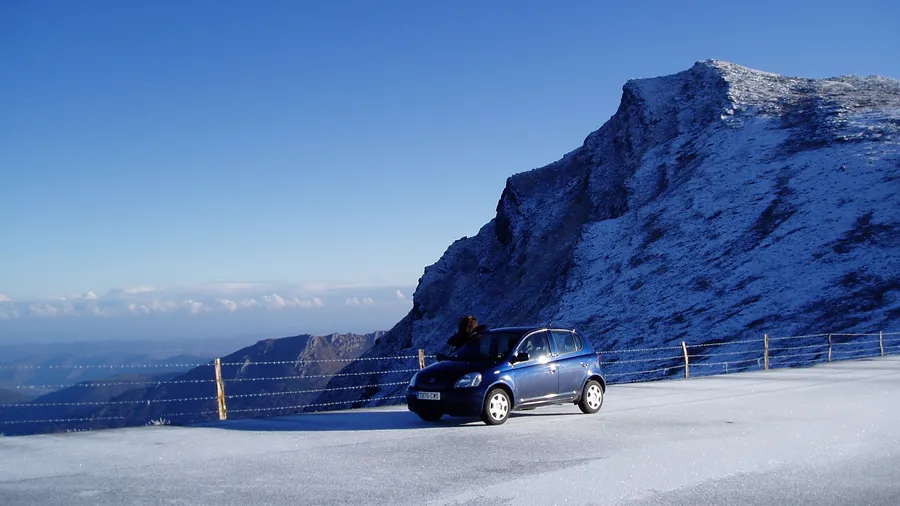
The classic route to the Cornón starts at the Puerto de Piedrasluengas: a linear out-and-back trek of about 15 kilometres with 1,340 metres of cumulative elevation gain, requiring seven to eight hours. The first stretch passes through beech woods that turn ochre and garnet in autumn, while above 1,600 metres the landscape opens into alpine grassland where short turf crunches underfoot and wind blows steadily. On clear days the summit panorama stretches from the Picos de Europa to the east to the Cantabrian coast to the north, a layered vista in which successive mountain ranges fade to ever-lighter blue before merging with the horizon.
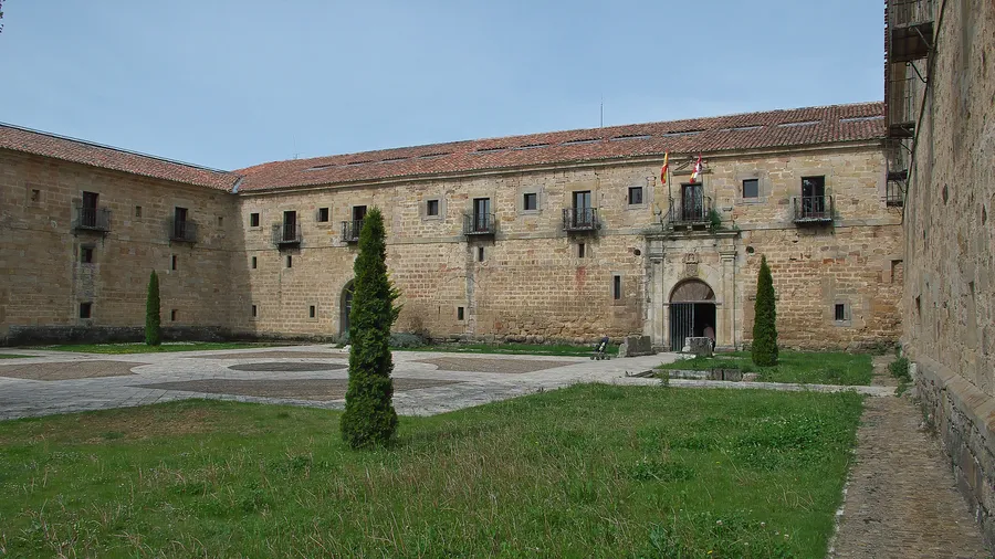
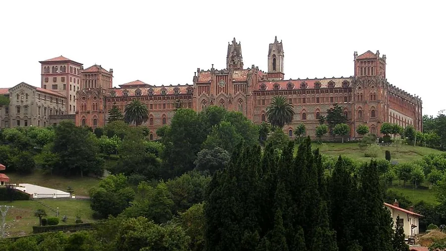
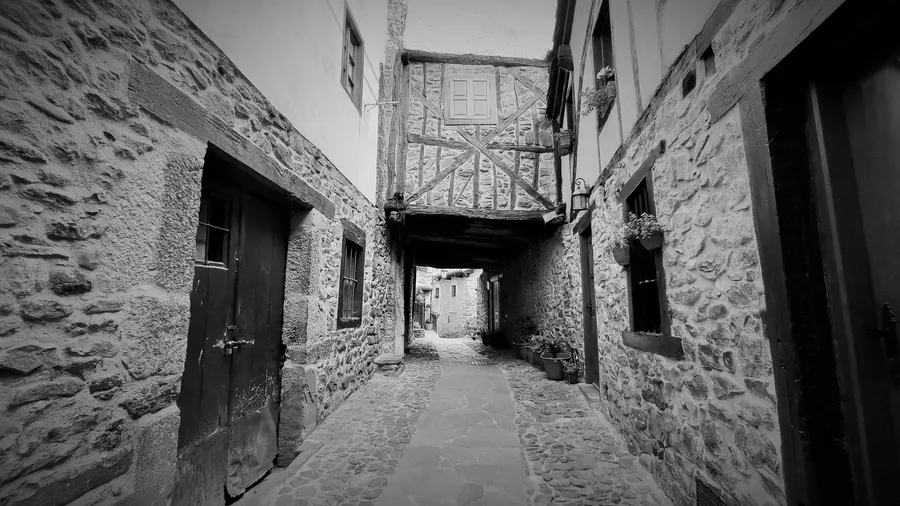
The villages ringing the sierra — Cabezón de Liébana, Polaciones, Tudanca and the Nansa valley settlements — retain stone-and-timber architecture shaped by mountain conditions. Tudanca, designated a Site of Cultural Interest, houses the museum-home of José María de Cossío, a literary figure linked to the Generation of '27 who documented rural Cantabrian life. Local cuisine centres on cocido montañés bean stew, Liébana cheeses, pear orujo spirit and game casseroles served in roadside inns and village mesones, settings where fireplace warmth and the scent of burning wood define the dining experience.
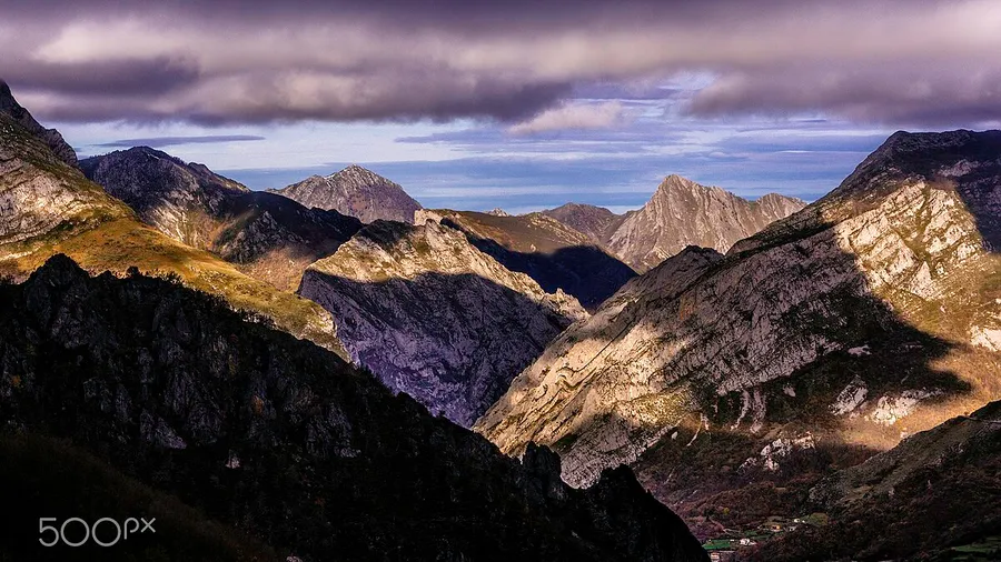
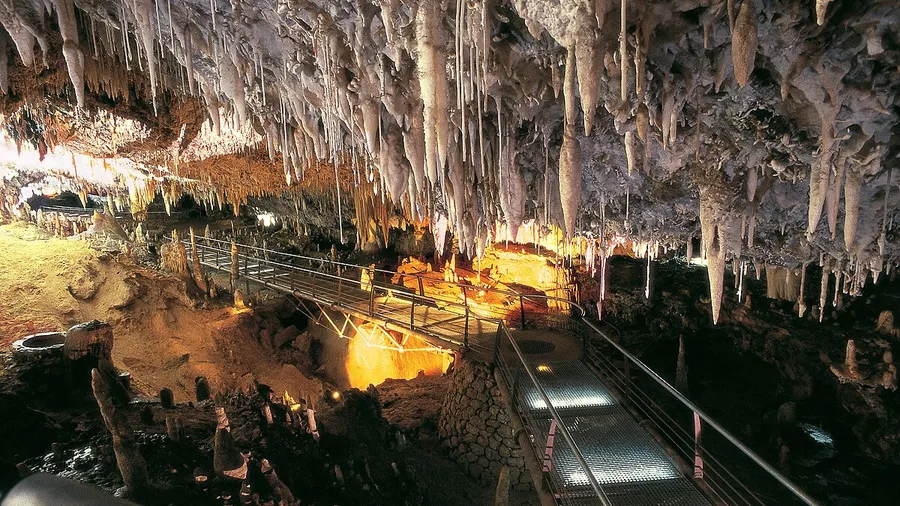
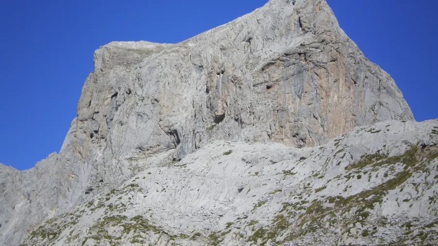
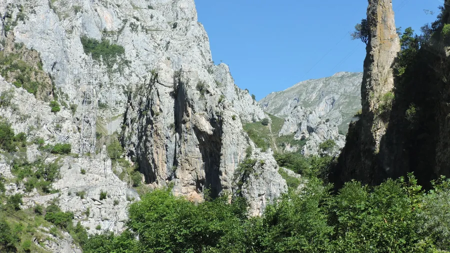
Peña Sagra's geology reflects the tectonic complexity of the Cantabrian Mountains: Carboniferous limestone, sandstone and quartzite alternate in strata visible on the mountain's cross-sections, making it a point of interest for geology enthusiasts. Cols between the main summits support alpine grassland where snow lingers well into June in wetter years, and late snowfields feed streams that rush down to the valleys below.