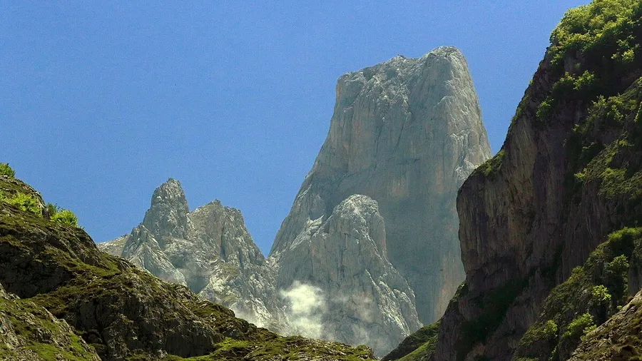
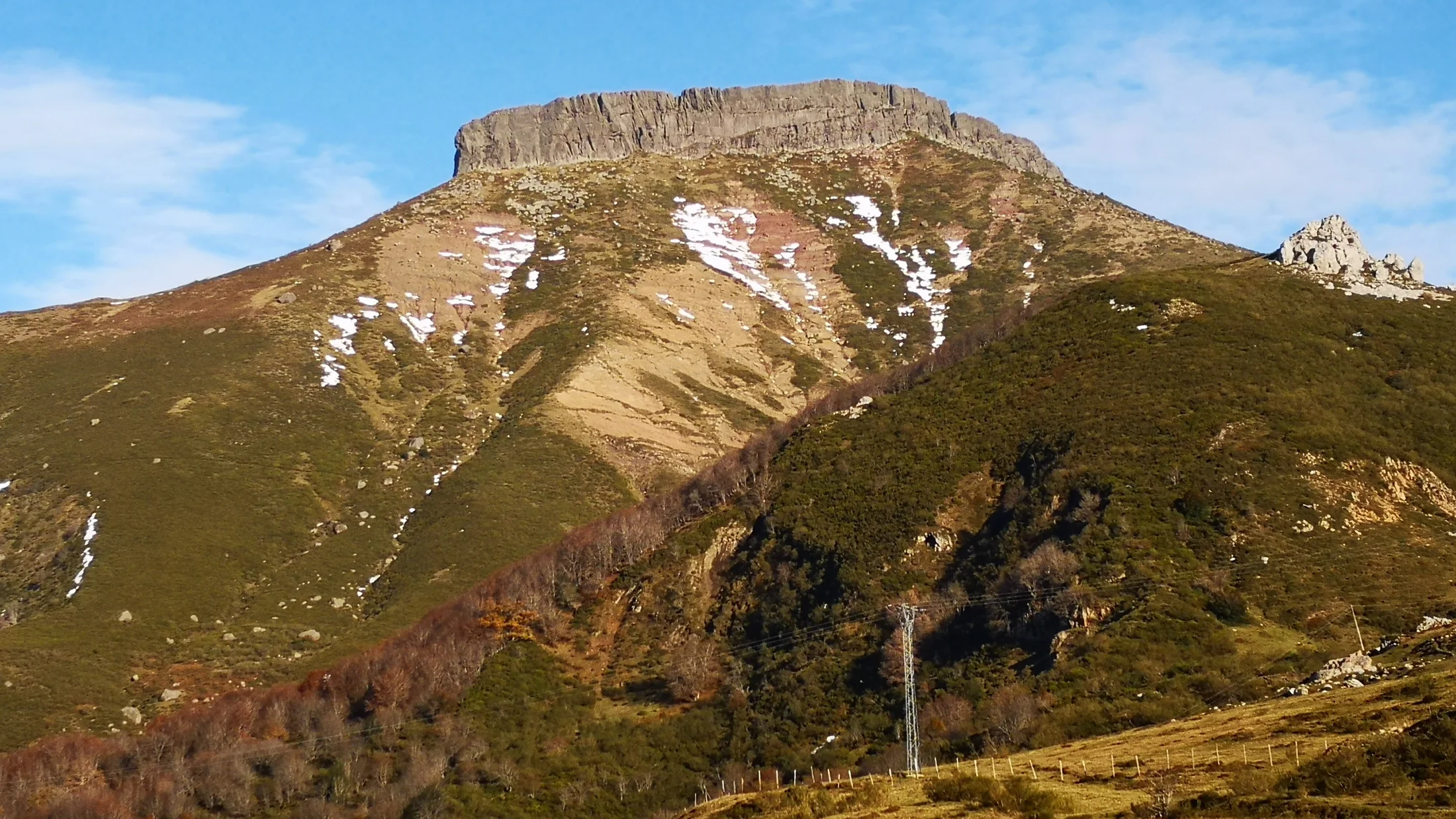
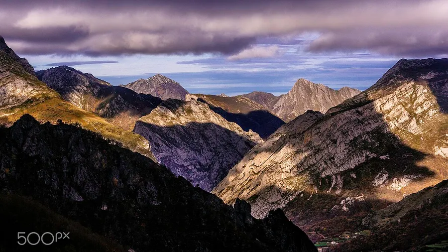
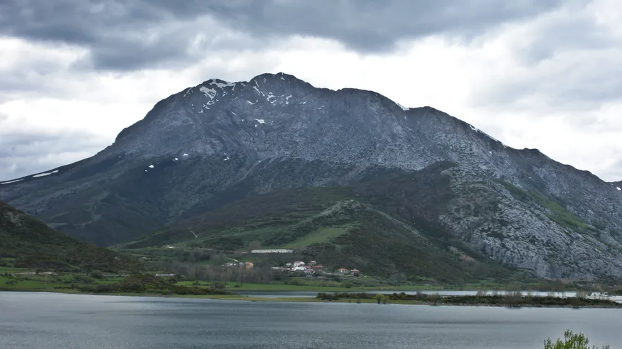
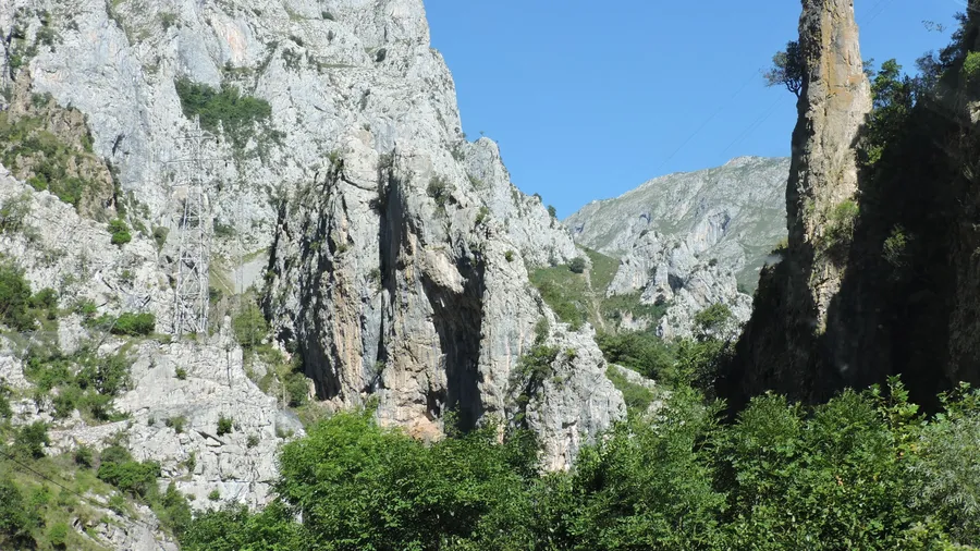
The Sierra de Pena Labra runs along the border between Cantabria and Palencia, on the backbone of the Cantabrian Mountains. Its highest point is the Pico Tres Mares (2,171 m), a singular summit because water flowing from its slopes drains into three different seas: the Nansa to the Cantabrian Sea, the Pisuerga to the Atlantic and the Hijar-Ebro to the Mediterranean. It is the only mountain on the Iberian Peninsula whose waters reach more than two marine basins. Pena Labra itself, the peak that gives the range its name, reaches 2,018 m. The ridge traverse between the two summits crosses alpine grasslands with open views over the Polaciones, La Pernia and Campoo valleys, where clouds drift below the walker's feet on days of temperature inversion.
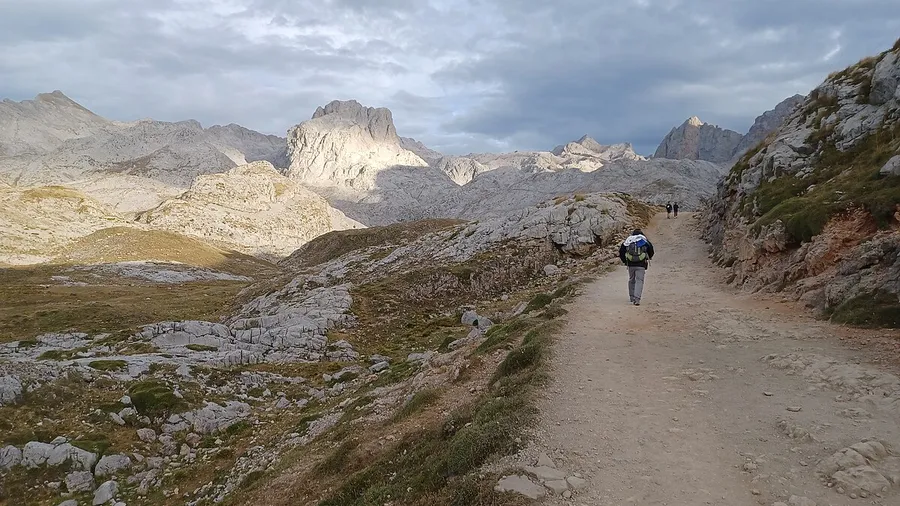
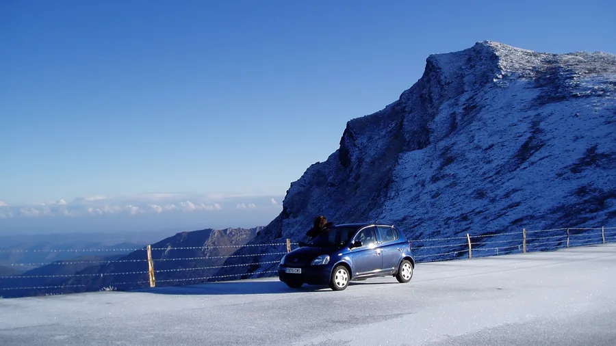
The most common access starts from the Alto Campoo ski station, next to the hamlet of Branavieja at 1,650 m elevation. Sports development in the area began in 1958, when the Tajahierro Alpine Club built the first mountain shelter and an access road was laid out. The circular Tres Mares–Pena Labra–Fuente del Chivo route covers about 10 km with 450–500 m of accumulated ascent and takes roughly 5 hours at moderate pace. There are no technical difficulties, but navigation can become tricky when fog settles on the ridge. Other routes in the area include the direct ascent to the Cuchillon (2,250 m), the highest summit of the ski complex, and the long traverse to the Puerto de Piedrasluengas pass, which connects Cantabria with Palencia and offers views towards the Liebana valley. In winter, Alto Campoo operates as a ski resort with 28 km of marked pistes between 1,650 and 2,250 m, making it one of the largest in the Cantabrian range.
The sierra marks the transition between the oceanic climate of the northern slopes and the continental climate of the Palencian plateaus to the south. This creates notable plant diversity: dense beech and oak forests on north-facing slopes, heather and broom scrub on the summits, and birch stands in high-altitude gullies. The fauna includes species typical of the Cantabrian Mountains: the broom hare, endemic to the Iberian Peninsula and found worldwide only between the Sierra de los Ancares and Pena Labra itself, inhabits the summit grasslands. Iberian wolves and roe deer live in the hillside forests. Forest raptors such as the goshawk and sparrowhawk nest in the most mature beech woods. Sporadic Cantabrian brown bear sightings have been recorded on the periphery of the range.
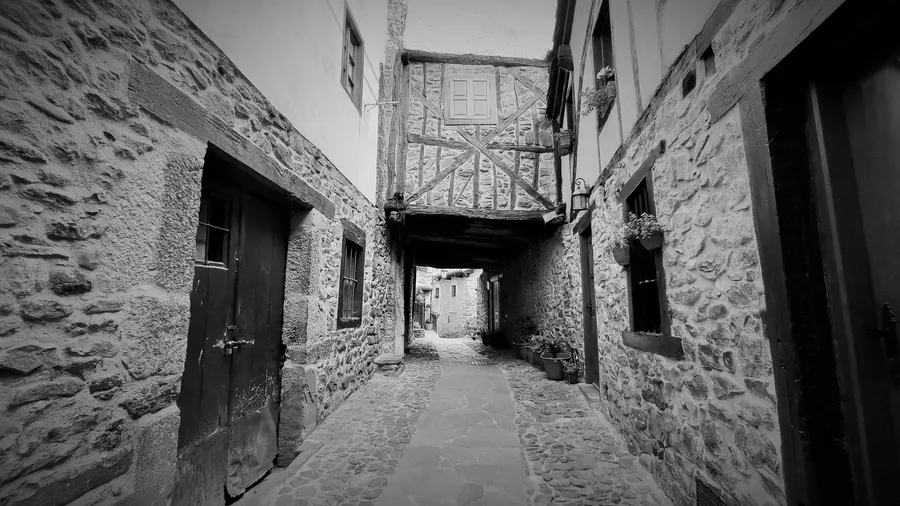
The human landscape around the sierra consists of mountain villages built in traditional stonework with slate roofs. Reinosa, the main town of the Campoo district, lies 25 km away and provides full services: hotels, rural houses, restaurants and supermarkets. Cervera de Pisuerga on the Palencian side offers alternative access and connects with the Fuentes Carrionas and Fuente Cobre–Montana Palentina Natural Park. Local cuisine centres on cocido montanes (beans, cabbage and cured meats) on the Cantabrian slope and wood-oven roast suckling lamb on the Palencian side, complemented by Campoo moorland heather honey and artisanal cheeses from traditional pasiega huts.