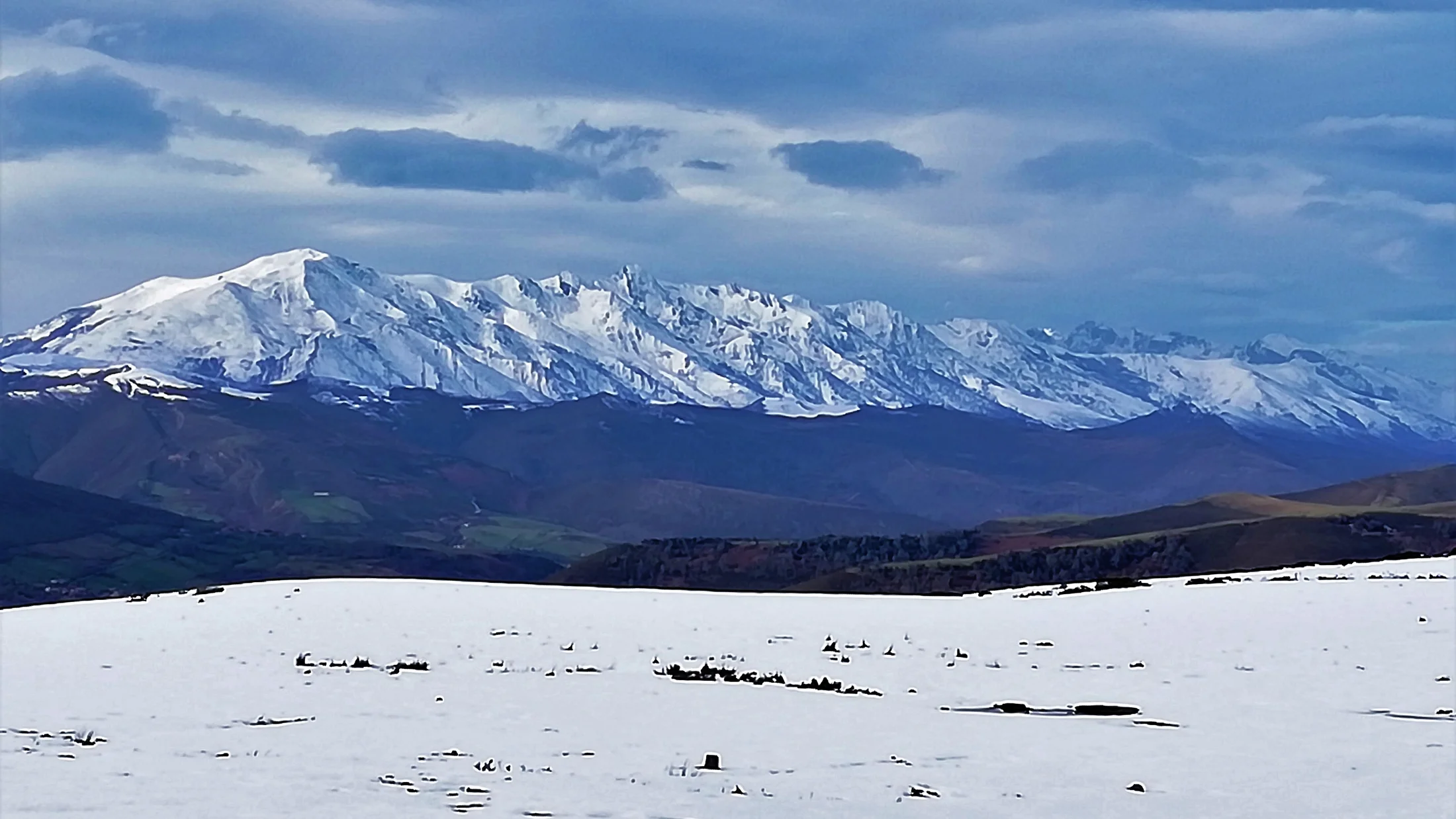
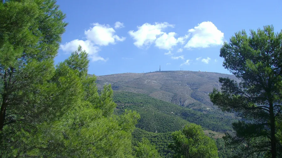
Sierra de la Sagra commands the northeastern Granada plateau from its 2,383-metre summit, the highest point in Granada province outside Sierra Nevada. This limestone massif rises in isolation above the Hoya de Baza basin, visible from over 60 kilometres in every direction, and forms part of the eastern edge of the Baetic Mountain Range. Its conical profile and geographic solitude give it an almost volcanic character that contrasts sharply with the surrounding steppe plains. The Guardal River springs from its lower slopes and feeds traditional irrigated farmland that has sustained local villages for centuries. On clear days the silhouette cuts against a clean sky that, after dark, becomes one of the darkest firmaments in southeastern Spain.
The standard ascent departs from Puebla de Don Fadrique (1,100 m) along a forest track through a laricio pine woodland before reaching the ridge line. The cumulative elevation gain is around 1,280 metres over approximately 14 kilometres return, a demanding day that rewards with 360-degree views: Sierra Nevada's snowfields to the south, the Castilian plateau to the north, and the Cazorla and Segura ranges to the east. In winter the summit holds snow and demands crampons, while summer heat on the plateau makes an early start essential. Stone cairns mark the upper trail, though navigation can be tricky in fog or snow; carrying a GPS device or a downloaded track is advisable.
The landscape around La Sagra marks a transition between high mountain and continental steppe. North-facing ravines shelter yew, maple and Portuguese oak that survive thanks to moisture trapped by the rock walls. Wildlife includes Iberian ibex, golden eagle and a stable colony of griffon vulture nesting on the limestone cliffs. In spring the lower slopes fill with flowering thyme, lavender and gorse, and the scent of pine resin accompanies the first kilometres of the climb. After dark, the absence of light pollution turns the area into a first-rate stargazing site: from the Collado de la Sagra, clear nights reveal the Milky Way with the naked eye.
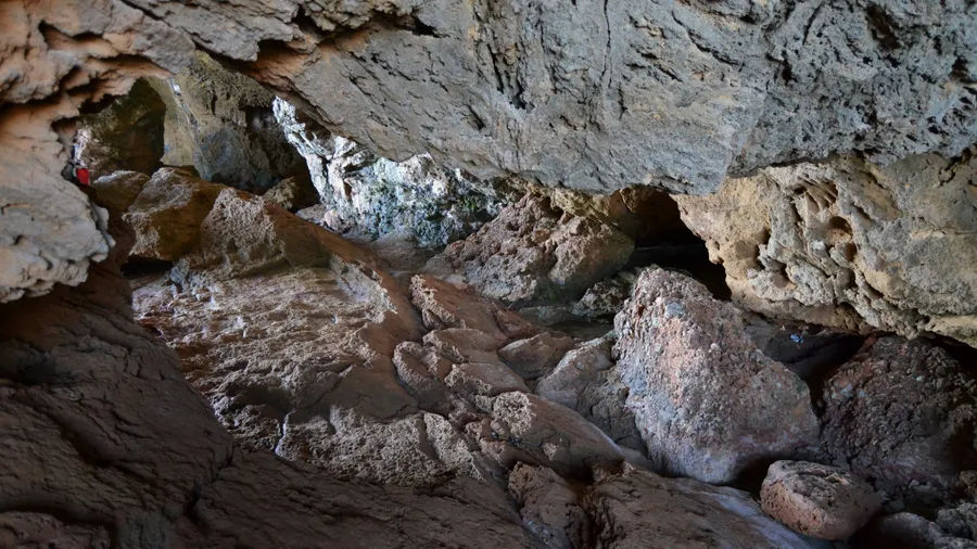
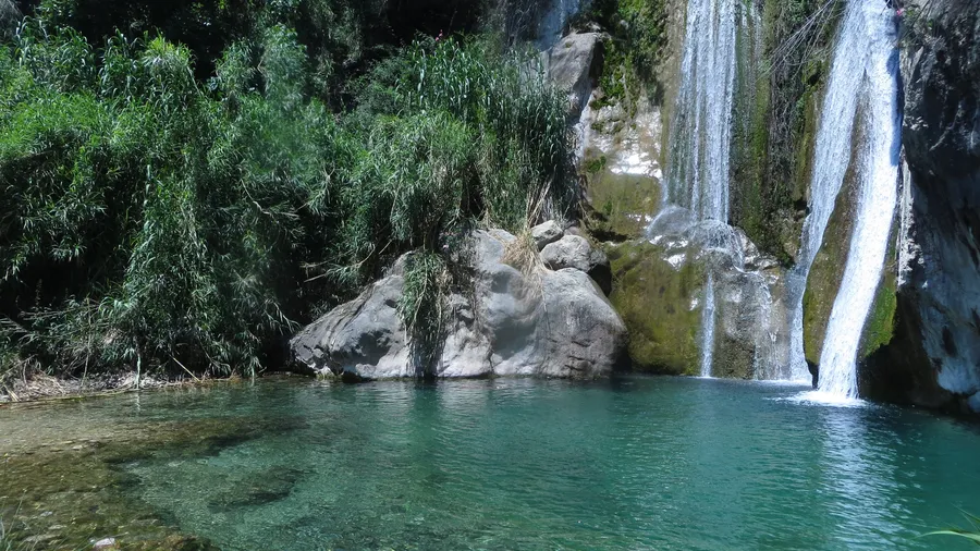
The geology of La Sagra tells the story of an ancient seabed. The Cretaceous limestones that form the summit were deposited over 65 million years ago and still hold visible ammonite and belemnite fossils along certain trail cuts. Karst processes have carved sinkholes, limestone pavements and small caves on the southern face, where runoff has dissolved the rock over millennia. This geological structure also explains the scarcity of surface water: rainfall filters quickly into deep aquifers.
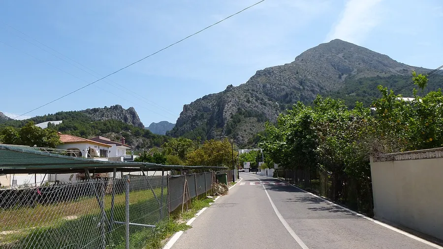
Puebla de Don Fadrique, a 30-minute drive from the trailhead, serves as the usual base. The village offers rural guesthouses, a petrol station, grocery shops and a couple of restaurants serving migas, gachas and local Segureño lamb. There are no mountain refuges or water sources above the tree line, so planning food and water supply is an essential part of any outing. The local tourism office stocks updated maps and can advise on trail conditions. Huéscar, 40 kilometres away, provides more accommodation and services for those seeking a base with greater variety.