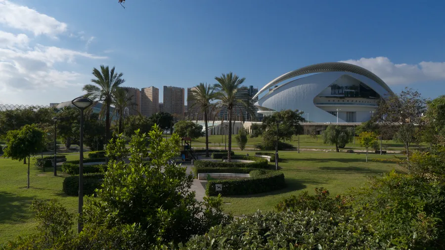
The Turia Natural Park stretches along 35 kilometres of the middle course of the Turia River, between the municipalities of Pedralba and the city of Valencia, covering 4,692 hectares. Declared a natural park in 2007, it is the second protected area in the Valencia metropolitan area after La Albufera. The river forms a green corridor connecting the interior Camp de Turia county with the western districts of the capital, passing through the municipal areas of Pedralba, Vilamarxant, Riba-roja de Túria, l'Eliana, Benaguasil, Llíria, Manises, Paterna and Quart de Poblet. This river corridor serves as a daily-use space for residents of one of the most densely populated areas in the Valencian Community.
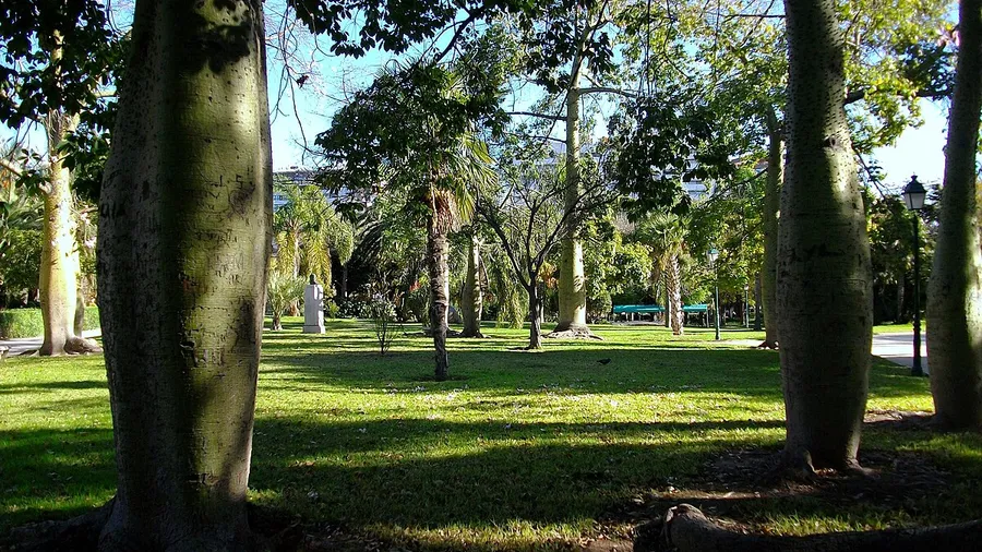
The Turia riverbanks support a well-preserved gallery forest of poplars, elms, ashes and willows that form a closed canopy over the watercourse. On spring mornings, light filtering through the leaves creates a cool atmosphere that contrasts with the orange groves extending on both sides of the river. The park's three main woodland areas — Aleppo pine forest on the slopes, Mediterranean scrub on the ridges and riparian forest by the water — form a habitat mosaic that sustains notable biodiversity for a peri-urban space.
The park holds over 150 registered vertebrate species: 107 birds, 18 mammals, 13 reptiles, 5 amphibians and 10 fish species. The common kingfisher is the river's most emblematic species and is easily spotted from the bankside trails. Grey and purple herons frequent the quieter stretches, and the short-toed snake eagle soars over the pine woods in spring and summer. Among mammals, the otter has been detected in several river sections, alongside genets, foxes and badgers. In the still-water pools, the Spanish terrapin basks on fallen logs. The flora exceeds 650 catalogued species, including wild orchid populations in forest clearings.
The trail network covers over 25 kilometres along both riverbanks, with sections suitable for walking, running and cycling. The Turia River Route, spanning 27 kilometres, is the main axis and connects Vilamarxant to Quart de Poblet along a flat, well-signposted route. Six official trails allow exploration on foot, by bicycle or on horseback, with difficulties ranging from family strolls to technical routes through the densest woodland. The Pont de la Barca Interpretation Centre in Vilamarxant organises guided birdwatching, environmental education workshops and themed routes covering the river's hydraulic heritage: weirs, irrigation channels and mills documenting centuries of agricultural water use.
The park's cultural heritage includes Iberian sites such as the Tossal de Sant Miquel in Llíria, Roman and medieval hydraulic infrastructure remains, and traditional farmhouses that maintain citrus and horticultural cultivation on the edges of the protected area. The coexistence of farming, recreational use and conservation is one of the Turia's defining traits: a park that is not isolated from its surroundings but woven into the daily life of over a million people living nearby.