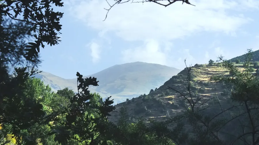
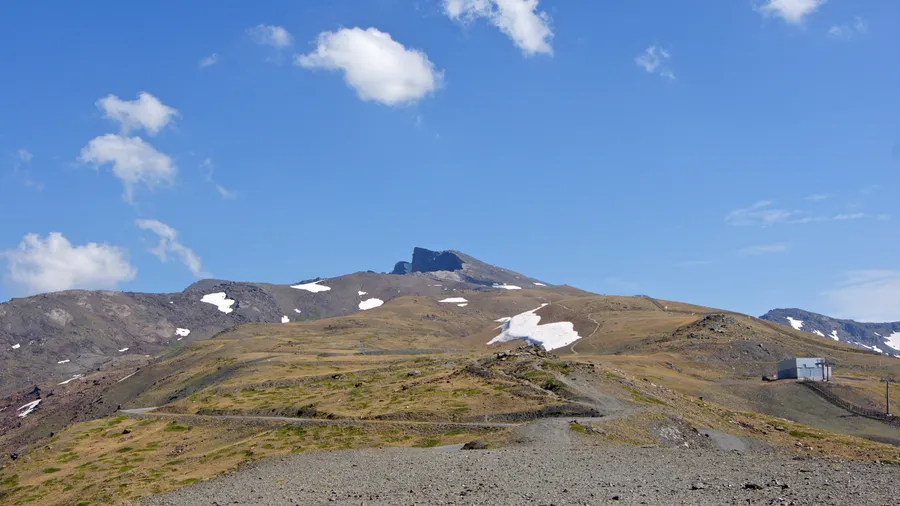
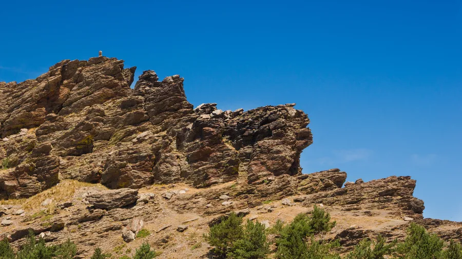
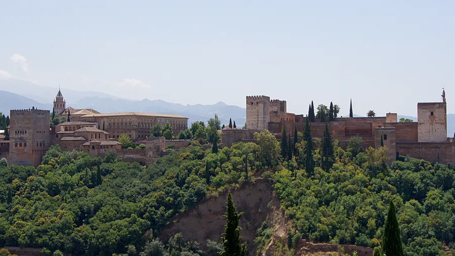
Sierra de Huétor covers 12,128 hectares of limestone terrain northeast of Granada city, ranging from 1,100 to 1,878 metres at its highest point, the Peñón del Majalijar. Just 20 kilometres from the provincial capital via the A-92 motorway, it delivers genuine mountain landscape without a lengthy drive. Narrow ravines, vertical cliffs and limestone formations shaped by water create a rugged relief where pine resin scent mixes with the dampness of streams flowing down towards the Genil valley.
Twelve public-use trails run through the park, waymarked by the Junta de Andalucía for various fitness levels. Among the most popular is the route to the source of the River Darro, linking the park's hydrology to Granada's history—water rising here fed the irrigation channels of the Albaicín quarter and the fertile vega for centuries. Other paths cross Aleppo and black pine forests, dense holm oak groves, and Portuguese oak woodlands where sunlight filters through in bands across the leaf litter. The Fuente de la Teja trail, roughly 5 kilometres at low difficulty, suits families well. Those seeking more of a challenge can tackle the traverse to the Majalijar ridgeline, gaining over 600 metres of elevation with panoramic views of Sierra Nevada to the south and the Genil depression to the west.
Wildlife includes Spanish ibex—visible on higher ground in the early morning as herds move between crags seeking sun-warmed slopes—wild boar, and a stable golden eagle population nesting on the most inaccessible rock faces. Northern goshawk patrols the dense woodland, while eagle owl occupies the cliff ledges overlooking the valleys. Reptiles are well represented, with ocellated lizard and ladder snake common in the lower scrubland. Otter and brown trout inhabit the best-preserved streams, serving as indicators of water quality. In autumn, mixed woodland produces a mosaic of ochre, yellow and green against the grey limestone, drawing nature photographers from across the province.
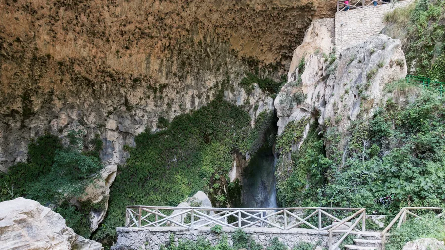
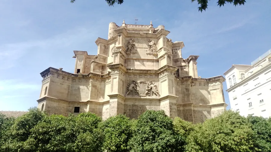
The limestone substrate defines much of the park's character. Karst features—dolines, sinkholes and resurgences—create a subterranean landscape as significant as the surface one. Water seeps through cracks in the rock and resurfaces at springs that have supplied surrounding communities since Roman times. Alfacar, one of the seven municipalities bordering the park, produces artisan bread renowned across Andalusia, baked with spring water and cooked in traditional wood-fired ovens. The village bakeries maintain a tradition documented since the sixteenth century.
The park spans seven municipalities—Cogollos Vega, Huétor Santillán, Beas de Granada, Víznar, Alfacar, Nívar and Diezma—each providing its own dining, rural accommodation and local festivals tied to the agricultural calendar. Declared a Natural Park in 1989, it gained Site of Community Importance status in 2006 and Special Area of Conservation designation in 2012, reinforcing its role as an ecological corridor between Sierra Nevada and the Subbetic ranges. This level of protection has enabled the regeneration of forests that were degraded by grazing pressure and firewood extraction through the mid-twentieth century.
For visitors arriving from Granada, Sierra de Huétor works as a mountain gateway: enough altitude to feel a 5–8 degree temperature drop compared to the city in summer, well-preserved Mediterranean vegetation, and a trail network supporting everything from one-hour strolls to full-day traverses. At weekends the recreation areas at La Alfaguara and Fuente de la Teja fill with local families who combine a morning hike with lunch at the restaurants of Huétor Santillán or Alfacar. On weekdays the trails regain their quiet, and the park shows its more intimate side: the song of crested tits among the pines, fresh wild boar tracks in the stream mud, the silhouette of the Majalijar against a clear morning sky.