Sierra de Algairén rises south of the Campo de Cariñena district in the province of Zaragoza, forming a mountain barrier between the cereal plains of the Ebro valley and the plateaus of the Iberian System. Its highest point, Pico de la Cruz (1,078 m), crowns an alignment of limestone and quartzite ridges extending roughly 20 kilometres from northwest to southeast, with an average width of 8 kilometres.
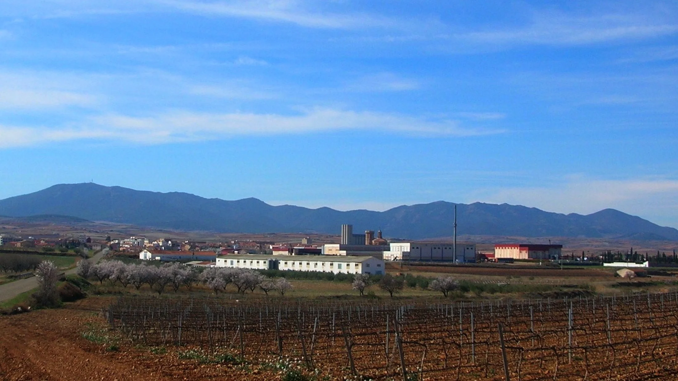
The landscape blends two worlds: lower slopes covered in Garnacha vineyards producing the red wines of the Cariñena Designation of Origin, and higher zones where Mediterranean scrub gives way to stands of Aleppo pine, holm oak and Portuguese oak. In the dampest ravines, maples, service trees and the occasional yew find in the shade the moisture that the general climate denies them. The transition is abrupt — within just 400 metres of elevation gain, the agricultural landscape turns into dense woodland where only the wind breaks the silence.
The sierra's fauna reflects its position at the crossroads between the dry Mediterranean and the Iberian highlands. Golden eagles nest on the rocky crags of the southern face, and griffon vultures patrol the thermal currents generated by south-facing limestone walls. Wild boar thrive in the undergrowth, and roe deer have recolonised the range in recent decades as hillside cultivation has been abandoned. Spring nights bring the call of the European nightjar, a mechanical, persistent sound that accompanies twilight hikes.
The trail network is lightly waymarked but well defined on the ground. The most popular route climbs from Aguarón to Pico de la Cruz along a forestry track gaining 600 metres over 7 kilometres, with progressive views over the Cariñena vineyards and, on clear days, as far as Moncayo to the northwest. From the summit, the panorama spans the Ebro depression to the north and the first ranges of Teruel to the south. Alternative routes depart from Encinacorba and Cosuenda, following ravines that carry water in spring.
The relationship between the sierra and wine defines the area's identity. Wineries in Cariñena, Aguarón and Cosuenda offer tastings where you can try Garnacha grown on old dry-farmed vines, many over 50 years old. The altitude of the hillside vineyards (600-750 m) and the day-night temperature range (up to 20 °C in summer) produce grapes with colour concentration and natural acidity that set these wines apart within Aragonese winemaking.
The villages at the foot of the sierra — Aguarón, Cosuenda, Encinacorba, Paniza — preserve a modest but genuine Mudéjar heritage: brick church towers, rural hermitages and rock-hewn wine cellars where wine was once made by gravity. Aguarón celebrates its harvest festival in September with traditional grape-treading in the main square. Local cuisine centres on roast ternasco (young lamb), migas aragonesas (fried breadcrumbs) and Calanda peaches arriving from the lowlands in August.