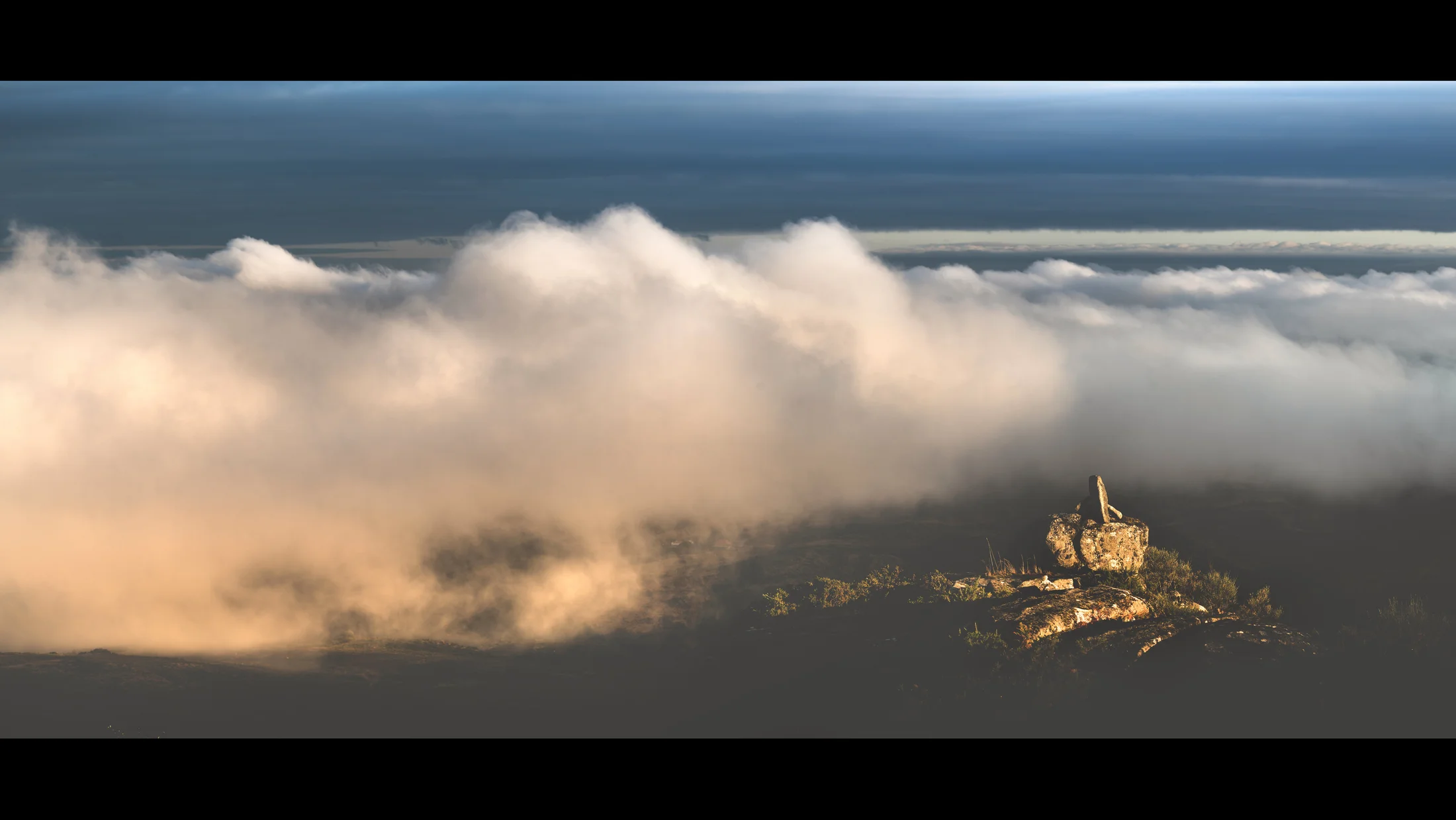
Serra do Cando is a mid-mountain formation covering 5,458 hectares in the interior of Pontevedra province, shared among the municipalities of Cerdedo-Cotobade, Forcarei, A Lama and Beariz. Designated a Site of Community Importance (SCI) and Special Conservation Zone (ZEC) within the Natura 2000 network, the range belongs to the central section of the Dorsal Gallega and runs north–south with rounded summits between 600 and 1,000 metres. Its average altitude of 712 metres gives it a transitional character between the fertile Rías Baixas valleys and the rougher interior ranges of Ourense.
The mountains are built of granite that water and frost have sculpted into rounded boulders and whimsically shaped outcrops, a mineral landscape that emerges between heather and gorse scrub on the heights. The Verdugo river and several tributaries of the Lérez rise on these slopes, feeding riparian woods of ash, birch and alder. Pedunculate oak groves studded with ferns and mosses cover the middle slopes, creating a damp, shaded environment where light filters through in green tones even on sunny days. Between Cotobade and A Lama stands Monte do Seixo, one of the range's most representative landmarks and a reference point for hikers.
Wildlife includes Iberian wolf, which maintains family groups in the area, and roe deer, regularly spotted in forest clearings at dawn. Wild boar, fox and stone marten complete the mammal picture, while notable birds include goshawk, sparrowhawk and tawny owl — forest raptors that benefit from the dense tree cover. Common trout inhabit the streams, and otter populations have been recorded. Spring brings an intense gorse bloom that paints the hillsides yellow, a striking contrast against the dark green of the oak woods and the grey of the granite outcrops.
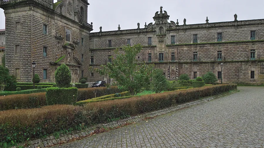
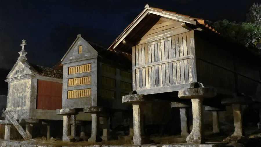
The area lacks large-scale tourist infrastructure, which preserves its rural and quiet character. Trails pass through stone hamlets with hórreos, cruceiros and communal wash-houses that still serve their original purpose, and scattered rural guesthouses across the surrounding municipalities offer lodging in a setting where the pace of daily life is governed by the seasons. Local cuisine revolves around octopus, lacón con grelos, corn empanada and wines from the nearby Rías Baixas denomination, products found in village taverns and the weekly markets of Forcarei and Cerdedo.
The range also acts as a subtle climatic divide: western slopes, more exposed to Atlantic fronts, receive higher rainfall than eastern ones, producing denser vegetation and deeper greens on the face looking towards the Rías Baixas. This gradient is noticeable when walking the ridgeline paths, where the landscape shifts appreciably depending on which side of the mountain you face.