The essentials of Parque Natural de la Sierra de Enguera

  • • GR-7 and local trails passing four springs that flow even in summer
  • • Bonelli's eagle, eagle owl and peregrine falcon nesting on rocky escarpments
  • • Barrancos Carrasca-Gatillo natural site with damp elm and ash microclimates
  • • Altos de Salomón at 1,056 m with panoramic views over the Caroig massif
  • • Wild orchids in spring and over 200 catalogued plant species

Description

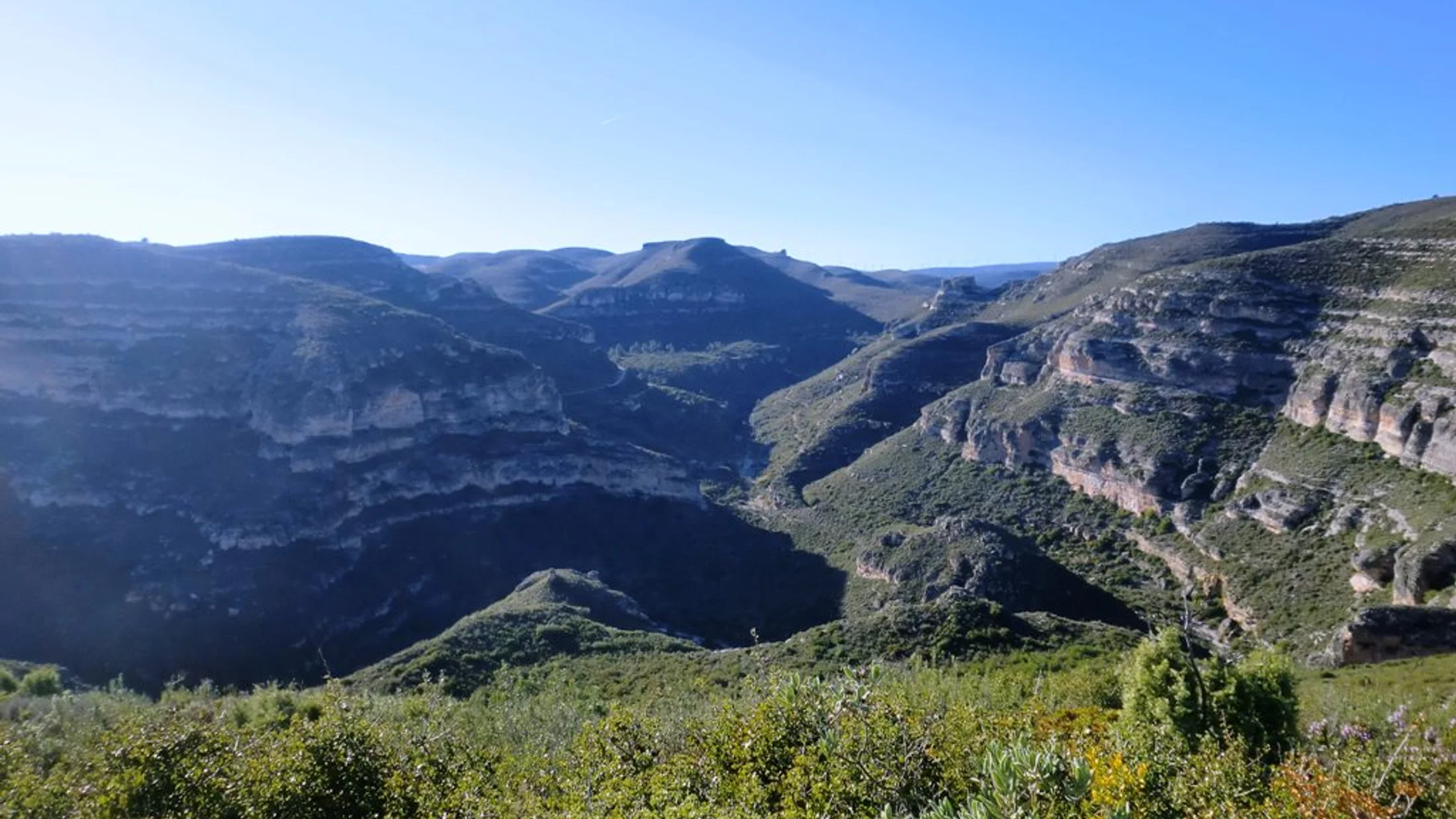
The Sierra de Enguera spans 24,175 hectares across the southern foothills of the Caroig massif in Valencia province, straddling the municipalities of Enguera, Navarrés and Vallada. Its highest point, Altos de Salomón, reaches 1,056 metres, and from the summit the view takes in a mosaic of Aleppo pine forests, holm oak groves, lentisk scrub and karst formations stretching to the horizon. The range sits between the Valencian coast and the Manchegan plateau, and that in-between position gives it a mixed character: damp ravines with ferns and springs, and dry slopes of rosemary and thyme where limestone breaks through the red earth.

The trail network includes the GR-7, which crosses the range from north to south, and local paths such as the SL-CV-5 (Barranco del Gatillo) and SL-CV-7 (Barranco de la Carrasca). One of the most complete routes is a circular walk visiting four active springs — Fuente de Marzo, Fuente de Lucena, Fuente de la Fraga and Fuente del Barranco del Huerto — passing the La Plana geodetic marker and the remains of an Iberian settlement. Fuente de Marzo, accessible from the CV-590 before reaching Enguera, has a pool where hikers cool off in the warmer months. The limestone bedrock generates natural springs that hold their flow even in summer, which is uncommon in the inland ranges of Valencia.

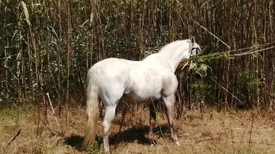
Recorded fauna includes Bonelli's eagle, which nests on the rocky escarpments, alongside eagle owl, peregrine falcon and over 200 catalogued plant species. Wild boar and fox are the most visible mammals, and amphibians such as the sharp-ribbed newt and common frog can be found in the ravine sections. Vegetation shifts with slope aspect: shady faces support dense holm oak with an understorey of strawberry tree and laurustinus, while sun-facing slopes carry Aleppo pine, kermes oak and esparto grass. In spring, wild orchids flower in forest clearings and along trail edges.

The Barrancos Carrasca-Gatillo Municipal Natural Site, declared by the Generalitat Valenciana, protects one of the areas with the highest forest density in the range. The ravines create damp microclimates where elms, ash trees and climbing ivy grow, contrasting with the aridity of the surrounding landscape. The scent of pine resin and thyme accompanies hikes along the higher trails, the breeze carrying the aroma from the scrub lining the path.

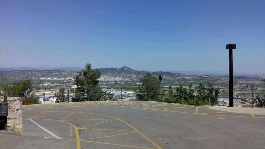
Enguera, the main town with just over 5,000 inhabitants, retains a historic quarter featuring the church of San Miguel and a castle of Islamic origin. Local gastronomy revolves around olive oil, rosemary honey and artisan cured meats. Several wineries in the area produce wine under their own designation. From Valencia city, Enguera is roughly an hour and a quarter via the A-7 and CV-590. The nearest train station is Xàtiva, 30 kilometres away, from where buses or taxis reach the town.

Practical information

Everything you need to know for your visit to Parque Natural de la Sierra de Enguera

How to get there
From Valencia, A-7 toward Almansa then exit onto the CV-590 to Enguera (1 h 15 min). From Xàtiva, the CV-590 runs directly (30 km, 30 min). Nearest train station is Xàtiva, with buses to Enguera. Main trailheads are accessed from the CV-590 before reaching the town.
Area Information
Signposted trail network: GR-7, SL-CV-5 and SL-CV-7. Barrancos Carrasca-Gatillo Municipal Natural Site. Tourist information at Enguera town hall. No formal visitor centre in the range; maps and leaflets available in town.
Geography
A 24,175-hectare range on the foothills of the Caroig massif, southern Valencia province. Altitudes from 300 to 1,056 m (Altos de Salomón). Limestone terrain with deep ravines, springs and karst formations.
Flora & Fauna
Bonelli's eagle, eagle owl, peregrine falcon and over 200 plant species. Holm oak with strawberry tree and laurustinus on shady slopes, Aleppo pine and esparto on sunny faces. Wild boar, fox, sharp-ribbed newt and common frog in the ravines. Wild orchids in spring.

Things to do

Find the best plans and things to do in Parque Natural de la Sierra de Enguera

20

Accommodations

Best accommodation options in Parque Natural de la Sierra de Enguera

Loading accommodation options...

Frequently Asked Questions

Get answers about Parque Natural de la Sierra de Enguera

The range does not hold natural park status as such, but within its territory lies the Barrancos Carrasca-Gatillo Municipal Natural Site, declared by the Generalitat Valenciana in 2012. This designation protects an area of particular forest and geological value. The rest of the sierra has free access and is managed by Enguera town council.
Fuente de Marzo has a natural pool where hikers commonly cool off during the warmer months. There is no explicit ban, though it is an informal dip in a natural setting. The other springs on the circuit are smaller and have no bathing area. Respect the surroundings and avoid using soap or sunscreen near the water.
The four-springs circular route covers about 15 kilometres with 400-500 metres of cumulative elevation gain, placing it at moderate difficulty. The local paths SL-CV-5 and SL-CV-7 are shorter (5-8 km) with less climbing, suitable for families with children over eight. The GR-7 is a long-distance trail usually done in stages.
Enguera has several rural guesthouses, country homes and a hostel. Nearby, Navarrés and Anna offer further options including holiday apartments. There are no refuges or hostels inside the sierra. The most common approach is to stay in Enguera and do the routes as day hikes from town.
Yes, there are forest tracks and paths suitable for mountain biking, particularly in the Los Altos and La Redonda zones. The signposted SL trails are designed for walking and can be narrow for bikes in places. The main tracks are wide with solid surfaces, though the climbs are demanding. Carry enough water, as distances between springs are long.