Serra do Faro rises in the interior of Ourense province, in central Galicia, reaching 1,187 metres at Pico Faro — the highest point of the Dorsal Gallega ridge. This granite and gneiss mountain alignment acts as the watershed between the Miño basin to the west and the Sil basin to the east. Its central position within the autonomous community makes it a natural viewpoint from which, on haze-free days, you can pick out the sierras of Queixa, Invernadeiro and Manzaneda to the southeast, and the valleys descending towards the Ría de Arousa to the west.
The landscape changes dramatically with altitude. Lower zones (400-600 m) are covered in Atlantic forest — pedunculate oaks, centuries-old chestnuts and birches forming a closed canopy where moisture condenses on lichens and mosses. As you climb, the tree cover opens into scrub of gorse, heather and broom that paints the slopes bright yellow in spring. Above 1,000 metres, the terrain becomes mountain grassland dotted with granite outcrops, where wind blows with steady force and vegetation hugs the ground.
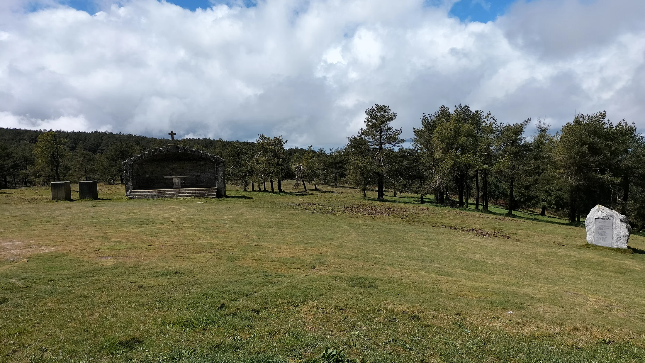
The summit holds the ruins of an old monastery and a forest fire watchtower marking the high point. Beside the tower, a geodetic marker and a flat area invite you to rest and turn a full 360 degrees to read Galician geography: the arrangement of valleys, rivers and ranges that shape the interior map of a region usually associated only with its coastline. Sunrise from the summit, when valley fog breaks into wisps that the sun burns off, is one of the most photogenic moments in Galician mountain country.
The main ascent route starts from the hamlet of Doade (Piñor municipality) and follows a medieval cobbled path gaining 700 metres over 9 kilometres. It is demanding but technically straightforward, walkable year-round except in snow (rare, but possible in January-February). A shorter alternative approaches from the eastern side via a paved track reaching 900 metres, leaving only the final 300 metres of elevation to cover on foot.
Wildlife on the serra includes roe deer, foxes and wild boar in the slope forests, while red kites and common buzzards patrol the open summit areas. The streams rising on the serra are home to the Iberian gold-striped salamander, an amphibian endemic to the northwest Iberian Peninsula that shelters under stones in clean-water brooks. On clear summer nights, the summit sky reveals the Milky Way with striking clarity, far from urban light pollution.
The hamlets surrounding the serra — Doade, Piñor, Cea — preserve traditional Galician granite architecture: stone houses with glazed galleries, granite granaries topped with carved crosses and wayside cruceiros at path junctions. Cea is renowned throughout Galicia for its artisan bread, made with sourdough in wood-fired ovens and protected by a Protected Geographical Indication. Cea bakeries produce loaves with crisp crust and dense crumb sold directly to the public, and visiting the village for fresh bread is a deeply rooted custom across the district.
Serra do Faro has no specific environmental protection status and no organised tourist infrastructure. It is a destination for those who want mountain without intermediaries: walk, look, eat Cea bread with tetilla cheese on the summit, and descend.