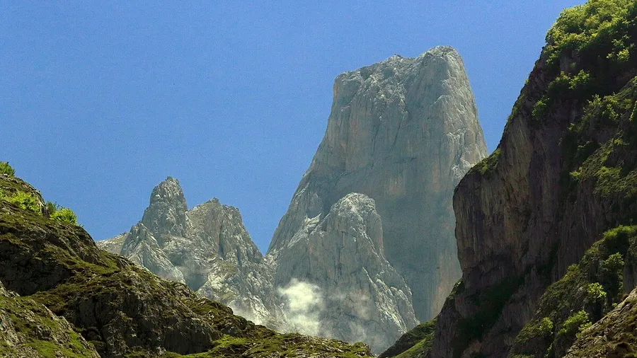
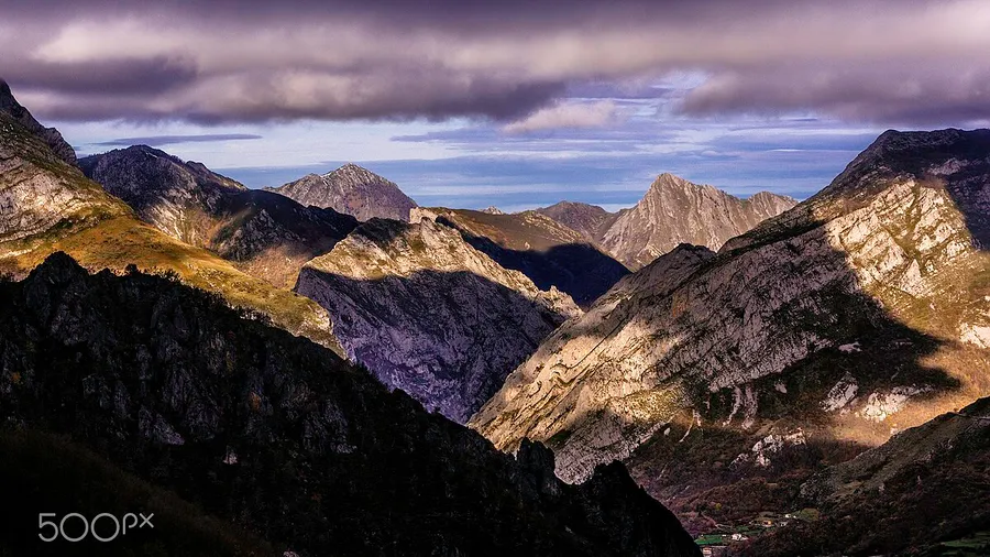
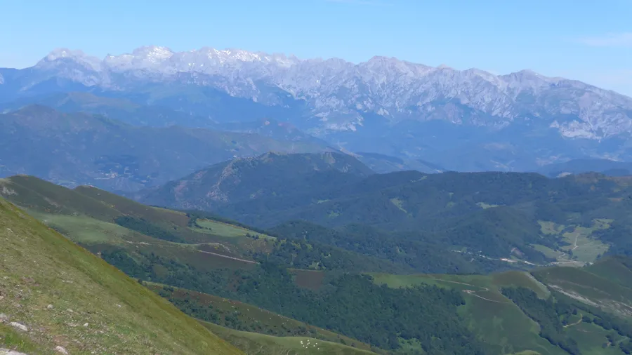
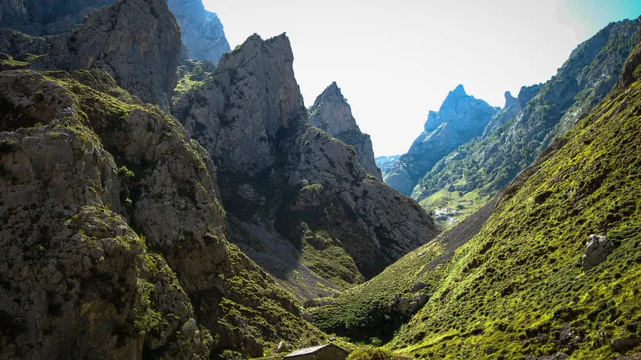
Parque Natural de Redes covers 37,809 hectares in eastern Asturias, within the mountain massif separating the Nalón and Sella river basins. Its boundaries largely follow the watershed lines: Pena Mayor ridge to the north, mountain passes to the Leonese Meseta to the south, Sierra de Ponga to the east and the Trubia basin to the west. The terrain is rugged and poorly accessible: the AS-253 road following the Caso River into the interior is the main access to the park's core, and for decades it was the sole connection between the conceyos of Caso and Sobrescobio and the rest of Asturias. That remoteness has paradoxically been the primary guarantee of ecosystem conservation. The park was declared a Natural Park in 1996, and since 2001 it forms part of the Redes UNESCO Biosphere Reserve.
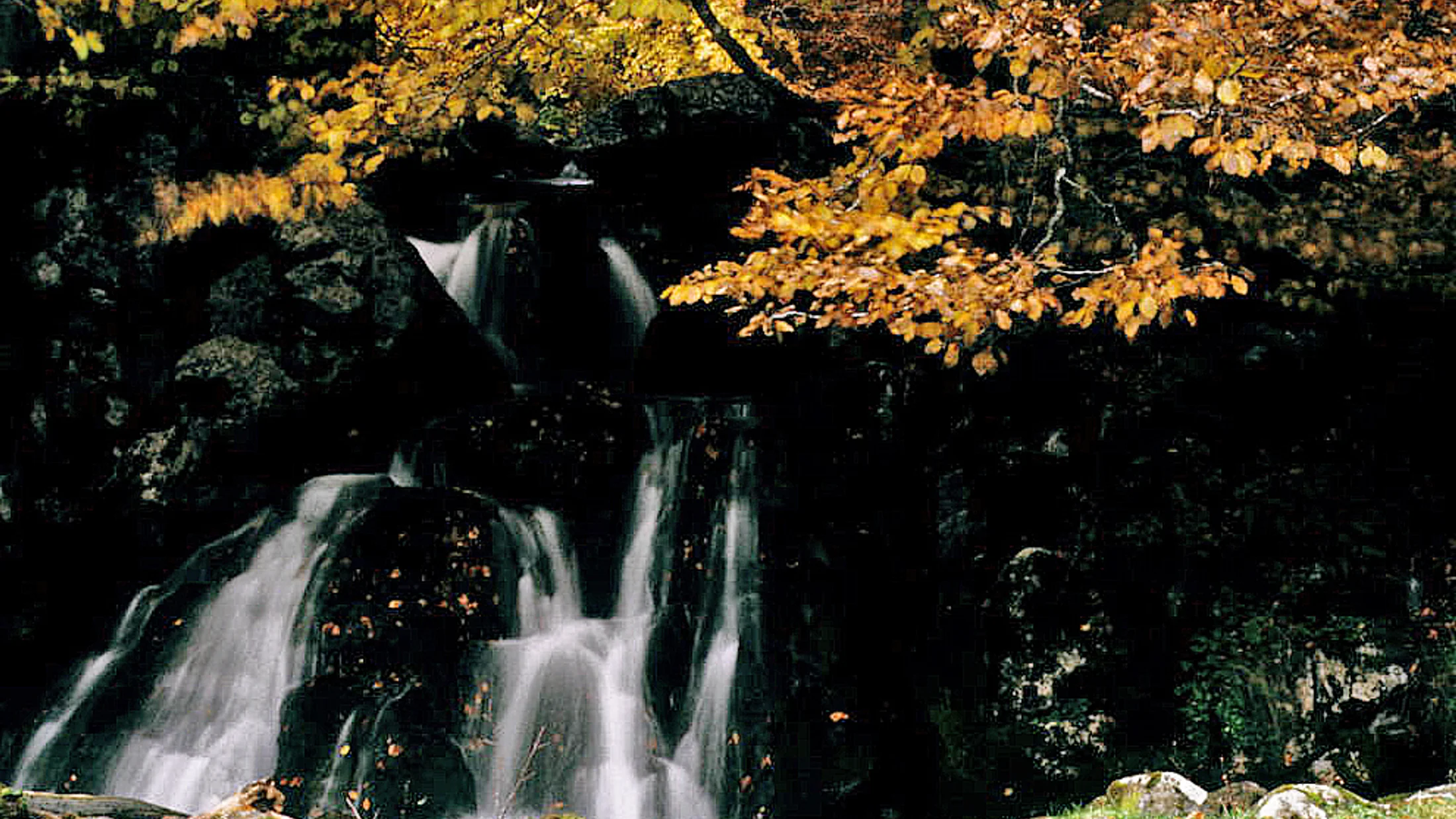
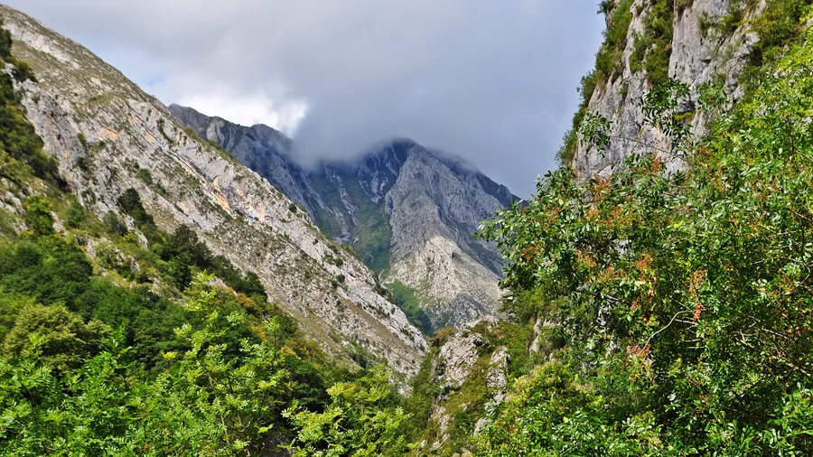
The territory is dominated by dense beech forests climbing the slopes to 1,600 metres. Beech is the structuring species of the Atlantic mixed forest covering most of the park's wooded area: in autumn, when the forests shift from green to yellow and ochre, the slopes of Parque de Redes offer one of the most recognisable images of inland Asturias. Alongside the beech forests grow pedunculate oak woodlands at lower elevations, holly groves on high-altitude north-facing slopes and ash groves along the riverbanks. In forest clearings and edges yew, holly and box proliferate. The understorey is rich in fungi — particularly in autumn, when walkers can find saffron milk cap, cardoon mushrooms and porcini in the mature beech woods.
The wildlife of Redes reflects the maturity and continuity of its ecosystems. The Cantabrian brown bear has documented presence in the park as part of the western subpopulation of the species, one of the most threatened in Europe. The Iberian wolf is also resident, though its movements extend beyond the protected area boundaries. The Cantabrian capercaillie — an endemic subspecies in critical conservation status — has in Redes one of its most important refuges. Chamois, roe deer, wild boar and otter complete a noteworthy mammal list. Among raptors, golden eagle, goshawk and peregrine falcon are present. The Caso and Pinto rivers hold populations of brown trout, and lower stretches support Atlantic salmon during their upstream spawning migration.
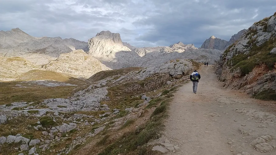
The main inhabited centre within the park is Campo de Caso, at 780 metres in the Caso River basin. The villages of Soto de Agues, Bezanes and Orlé preserve examples of traditional Asturian rural architecture: granaries raised on stone pillars and the distinctive hórreos and paneras. The traditional economy combined extensive cattle grazing on high summer pastures with forestry at middle elevations. Today nature tourism and hiking are growing activities, yet the park maintains a low visitor density compared to other Asturian protected areas, ensuring a high-quality experience. Park trails include the Ruta de los Molinos along the Pinto River (7 km) and the ascent of Pico Pierzu (1,761 m) as a high-mountain reference route.