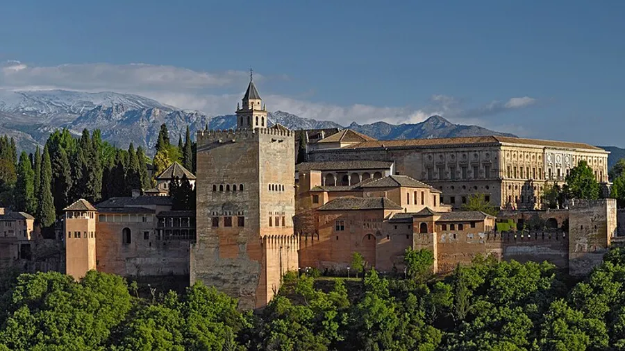
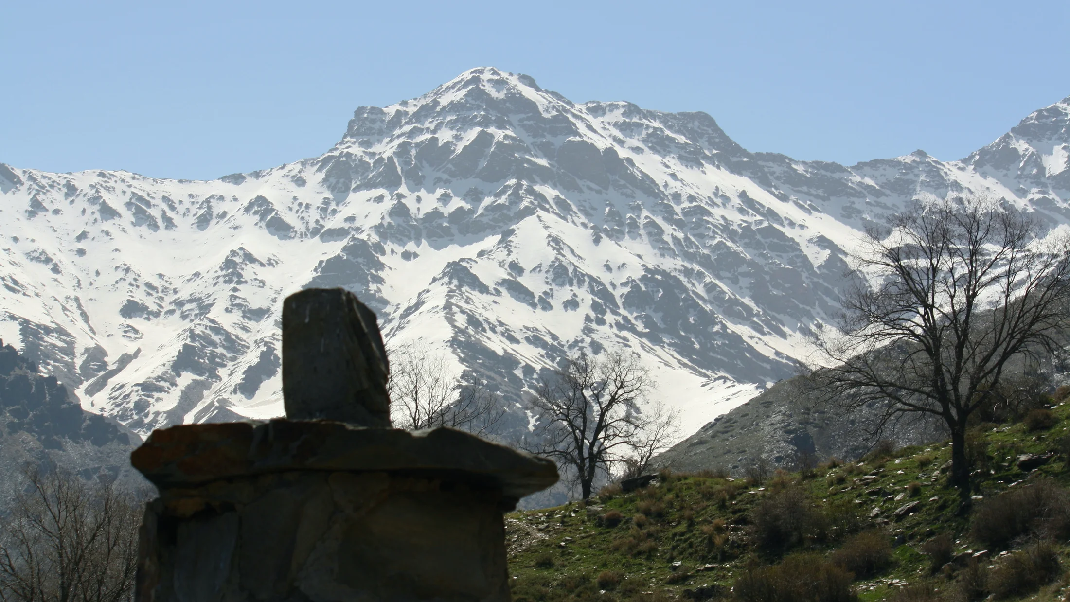
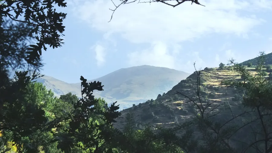
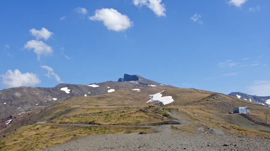
Sierra Nevada forms the highest massif on the Iberian Peninsula, with more than twenty summits exceeding 3,000 metres. Mulhacén at 3,479 metres and Veleta at 3,396 metres are the two dominant peaks, and on a clear day the Mediterranean is visible from the summit ridge. The elevation range compresses a full spectrum of vegetation zones into a relatively short horizontal distance, from holm oak scrubland in the foothills up through Scots pine woodland, dwarf juniper heath and finally to the bare psychroxerophilous grasslands above 3,000 metres that give the high sierra its tundra-like quality in summer.
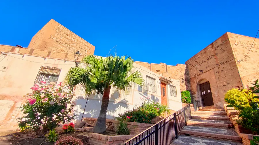
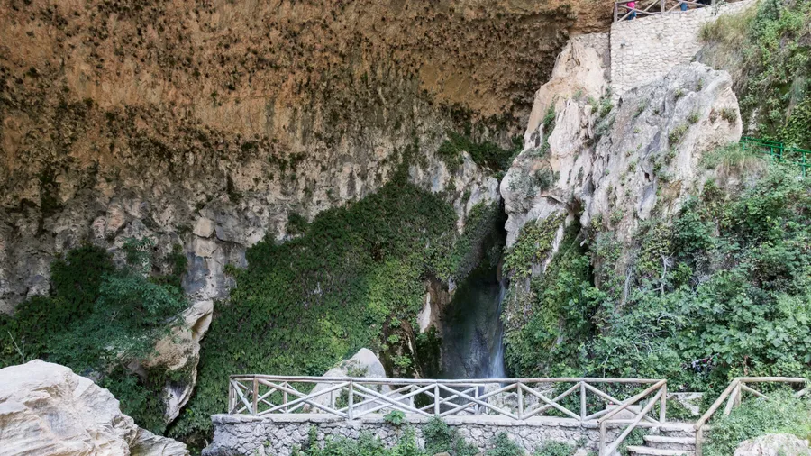
The massif acts as the water tower for much of southern Andalusia. The Genil and Monachil rivers descend northward toward the Guadalquivir basin; the Guadalfeo flows south through the Alpujarras valley toward the Mediterranean coast. The Moorish irrigation canals, locally called acequias, that channel snowmelt water through terraced hillside villages like Pampaneira, Bubión and Capileira have been in continuous use for centuries. Walking through these villages in late spring means following the sound of running water between whitewashed walls and stone paths, with chestnut groves on the slopes above.
The park supports a wild ibex population estimated at over 15,000 individuals, making it one of the densest concentrations of Iberian ibex in Europe. Bearded vultures, extinct here for most of the twentieth century, have been reintroduced with partial success. Golden eagle, griffon vulture and peregrine falcon nest permanently in the rocky cliffs. Native brown trout persist in the headwaters of the Genil and Monachil, in some of the last autochthonous southern populations on the peninsula. The mountain newt reaches its southernmost European limit in the high-altitude streams here.
The Granada-Sierra Nevada ski resort, operating between 2,100 and 3,300 metres on the northern slope, is the most southerly ski area in Europe. On clear winter days skiers can see the African coast across the Strait of Gibraltar. This combination of guaranteed snow at altitude and mild temperatures at lower elevations makes the massif useful across a wider seasonal window than most mountain areas. Summer nights in the high sierra rarely exceed 10 °C, while the Alpujarras valleys below shelter avocado and custard apple orchards just kilometres from permanent snowfields.
Scientific research in Sierra Nevada has more than two centuries of documented history. The botanist Simón de Rojas Clemente carried out the first systematic flora surveys of the massif in the early nineteenth century, and the University of Granada Botanic Garden has maintained a high-mountain research station at Corral del Veleta ever since. The park hosts over 80 endemic plant taxa unique to the massif, making it one of the most significant endemic plant centres in Iberian flora. Its high-altitude grasslands are monitored continuously as early-warning indicators of climate change, since the retreat of permanent snowfields and shifts in species phenology are measurable in multi-decade data series.