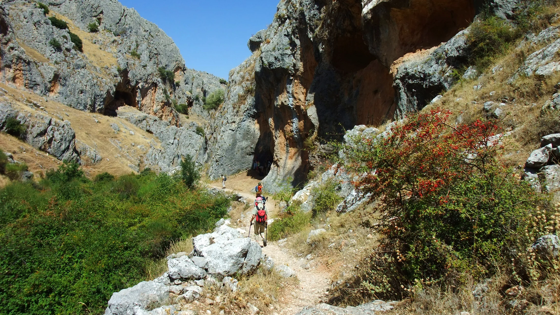
Las Sierras Subbéticas Natural Park protects around 30,000 hectares of a mountain massif in the south of the province of Córdoba, between the municipalities of Priego de Córdoba, Carcabuey, Rute and Cabra. The name refers to the geological origin of the landscape: these sierras are part of the Betic Cordillera, the mountain chain that rises between the Guadalquivir and the Mediterranean, whose limestone substrate has generated one of the most developed karst systems in Andalusia. Dolines, shafts, lapiaz and caves succeed each other across the landscape, shaped by millennia of water erosion on the parent rock.
La Tiñosa (1,570 m) is the highest point in both the park and the entire province of Córdoba. From its summit — accessible by forest track from the Collado de las Palomas — the view stretches across the Guadajoz valley to the north, the Sierras de Cazorla Natural Park to the east and, on clear westerly days, the silhouette of Sierra Nevada to the south. The ascent trail covers around 8 km return with 600 metres of elevation gain. The limestone walls around Cabra and Carcabuey concentrate the main sport climbing zones, with over 200 equipped routes in sectors such as La Manga and El Majuelo.
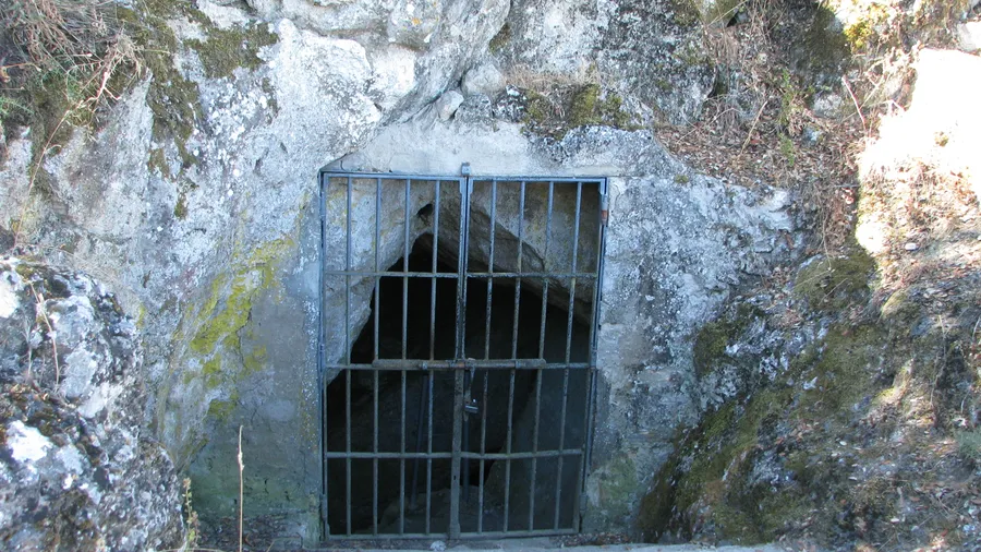
The park's karst shelters cavities of geological and speleological interest: the Cueva del Fraile near Priego and the Sima del Republicano near Rute are two of the most documented underground systems. Caving tourism, organised through local adventure companies, provides access to galleries with translucent calcite stalactites and stalagmites. The Cueva de Murciana, accessible without technical equipment on a guided visit, offers families a first encounter with the underground world.
The park's flora numbers over 1,300 species, with a significant rate of endemism for Andalusia. Wild olive (Olea europaea var. sylvestris), holm oak (Quercus ilex) and Lusitanian oak (Quercus faginea) dominate the shaded forest; sun-facing slopes are carpeted with spike lavender (Lavandula latifolia), rosemary and various cistus species. The bearded vulture (Gypaetus barbatus), absent for decades, was reintroduced into the sierra in the early 21st century and its presence, detected during park monitoring patrols, is one of the most significant conservation achievements in Andalusia in recent decades.