Parque Natural del Alto Tajo protects the most distinctive stretch of the River Tajo from its headwaters in the Sierra de Albarracín to the gorges it has carved over millions of years across the Guadalajara plateau. The park covers 119,468 hectares across the provinces of Guadalajara and Cuenca, and holds one of the highest densities of forest raptors in Spain. Pine forests of Scots pine and Corsican pine blanketing the plateaus, combined with riparian woods of trembling aspen and black poplar along the river meanders, create a habitat variety that few areas of the Iberian interior can match.
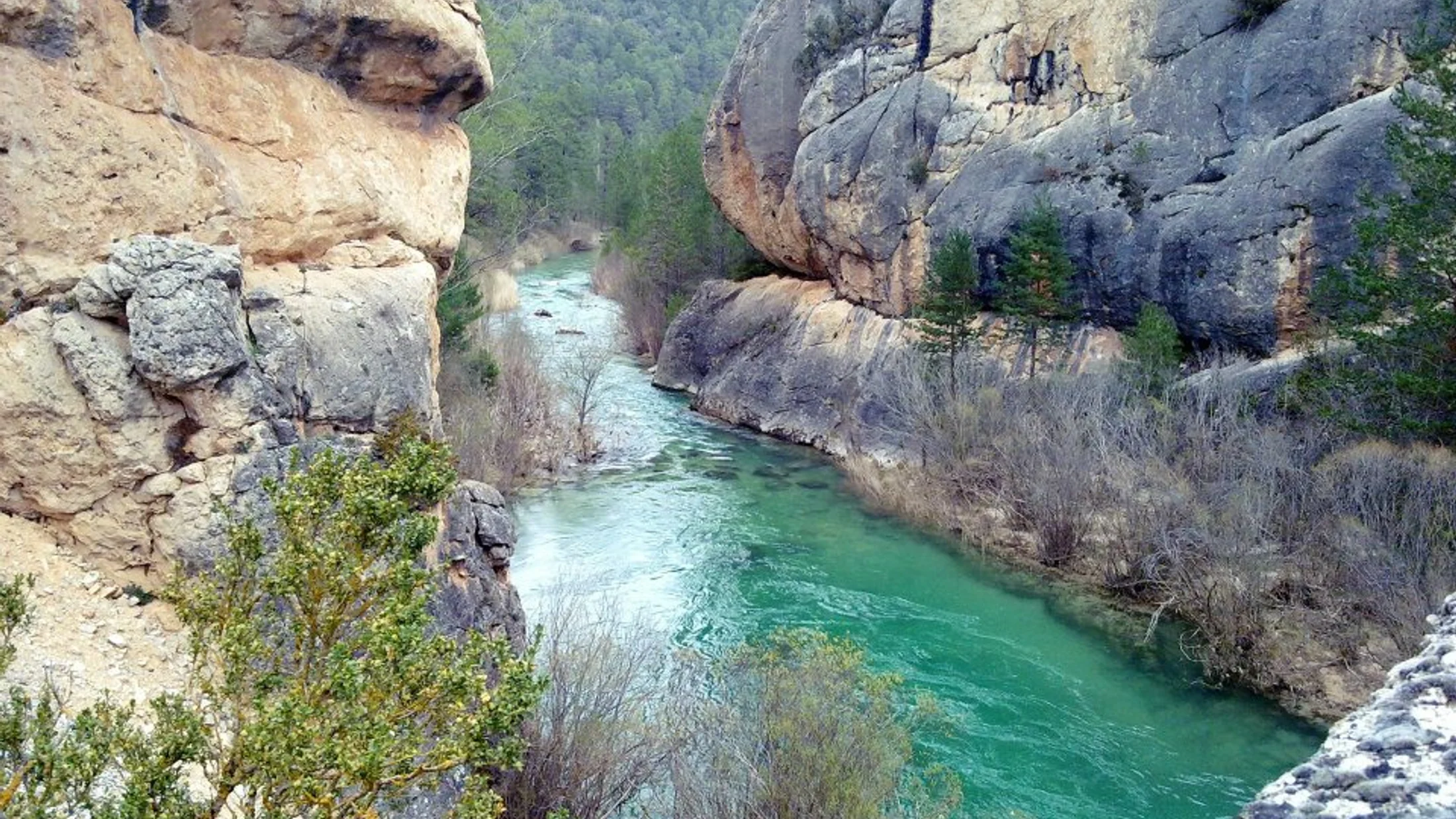
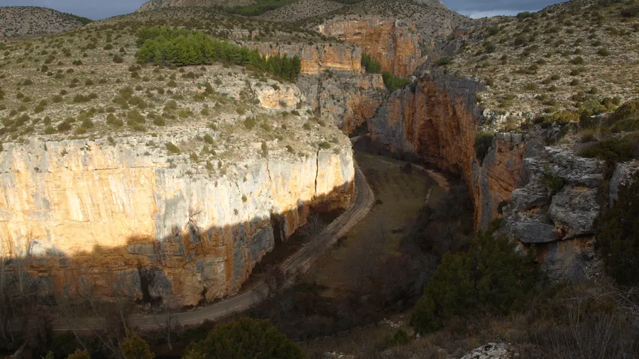
The River Tajo defines the park's character. Along the stretch from Peñalén to Poveda de la Sierra, the water has cut a grey limestone canyon with walls exceeding 100 m in height. The sound of water tumbling through boulders and rapids is the constant reference on trails running along the canyon rim. One of the most photographed formations is the Puente del Hoz, a natural limestone arch that bridges the gorge a few metres above water level. From the Los Callejones viewpoint near Poveda, the Tajo gorge opens in an oblique plane that frames the confluence with the Gallo river directly ahead.
The park's flagship species is the cinereous vulture (Aegypius monachus), whose largest breeding colony in Europe is found in the Las Majadas pine forest in the Cuenca sector. In spring and summer, cinereous vulture nests in pine canopies can be observed from designated viewpoints without disturbing breeding activity. The red kite was once present here in notable numbers before decades of persecution; it remains visible in winter months when northern European individuals move south into the peninsula's interior. Wolf presence has been documented at the park's northern limit, though direct sightings are rare.
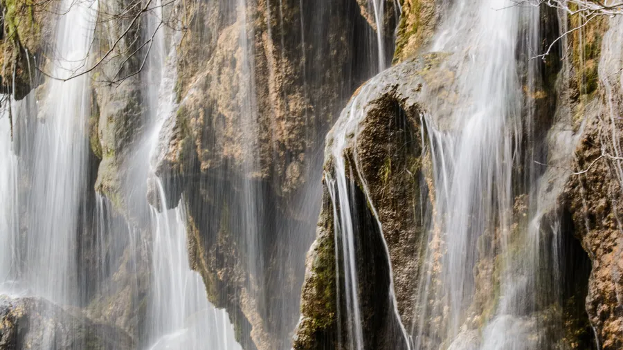
Outdoor activity options cluster around several nodes. The river stretch between Zaorejas and Peralejos de las Truchas is best suited to canyon descent by kayak or canoe, with grade III rapids depending on river flow. Local companies offer equipment hire and guides for inexperienced groups. For hiking, the GR-25 long-distance trail runs north to south through the park, linking landmarks such as the Taravilla lagoon, the source of the Cabrillas river and the Bullón limestone walls. The Taravilla to Zaorejas section (12 km, minimal elevation change) is the most frequented and accessible year-round.
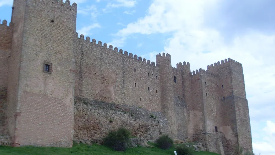
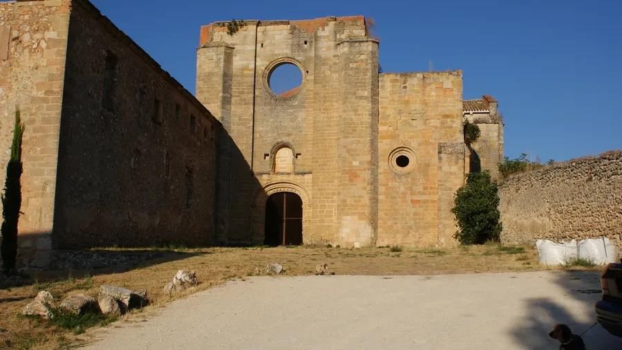
The Alto Tajo territory also preserves its historical layers. The Ibero-Celtiberian site of Segóbriga, just outside park boundaries, illustrates the strategic importance of these canyons to pre-Roman peoples. Inside the park, rock shelter paintings in the Molina de Aragón area document human presence from the Palaeolithic. Ethnographic heritage is equally substantial: flour mills on the Tajo and its tributaries, some restored, record the water management that sustained mountain economies for centuries. In autumn, the riparian forest's colour palette — aspen yellow, maple red and persistent holly green — makes the riverside walk one of the most visited photography routes in central Spain.