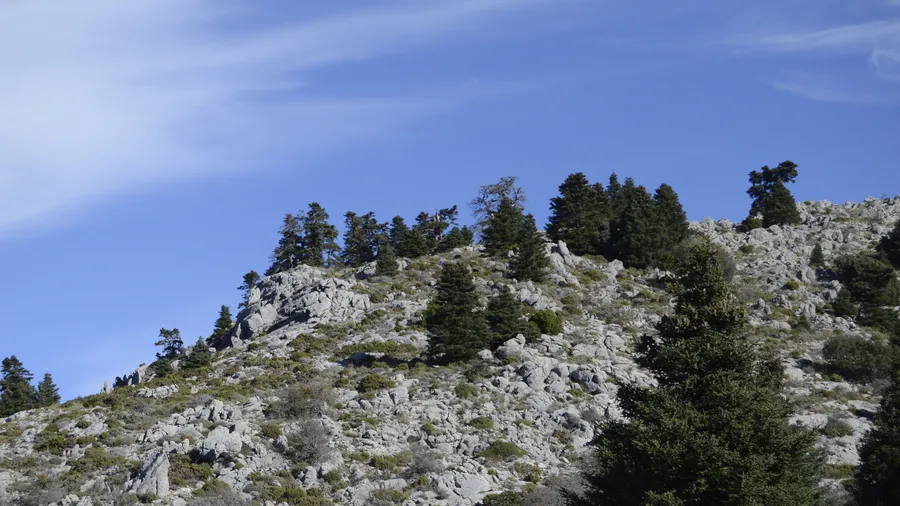
The Sierra de Grazalema receives more than 2,000 mm of average annual rainfall on its summits, the highest sustained figure recorded on the Iberian Peninsula. This climatic anomaly results from the range's orientation — transverse to moisture-laden south-westerly Atlantic winds — and the altitude of its peaks, which condense cloud before it can cross to the interior. The result is a humid, green landscape that contrasts sharply with the arid plains surrounding it, and that has allowed the survival of a unique species: the Spanish fir (Abies pinsapo), a Tertiary relict conifer found nowhere else in Europe at the densities it reaches here, forming forests of up to 450 ha on north-facing slopes.
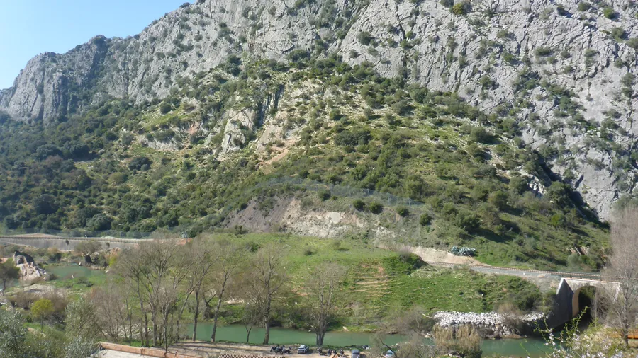
The natural park spans parts of Cádiz and Málaga provinces, with elevations ranging from 300 metres in valley floors to 1,654 metres at El Torreón. The Garganta Verde gorge is the most dramatic feature: a 400-metre-deep limestone canyon whose vertical walls hold the largest griffon vulture (Gyps fulvus) colony in Andalusia, with over 300 breeding pairs. Access requires a permit, capped at 20 people per day to limit disturbance at the nesting site. The trail descends 3.5 km from Zahara de la Sierra to the bed of the Río Bocaleones.
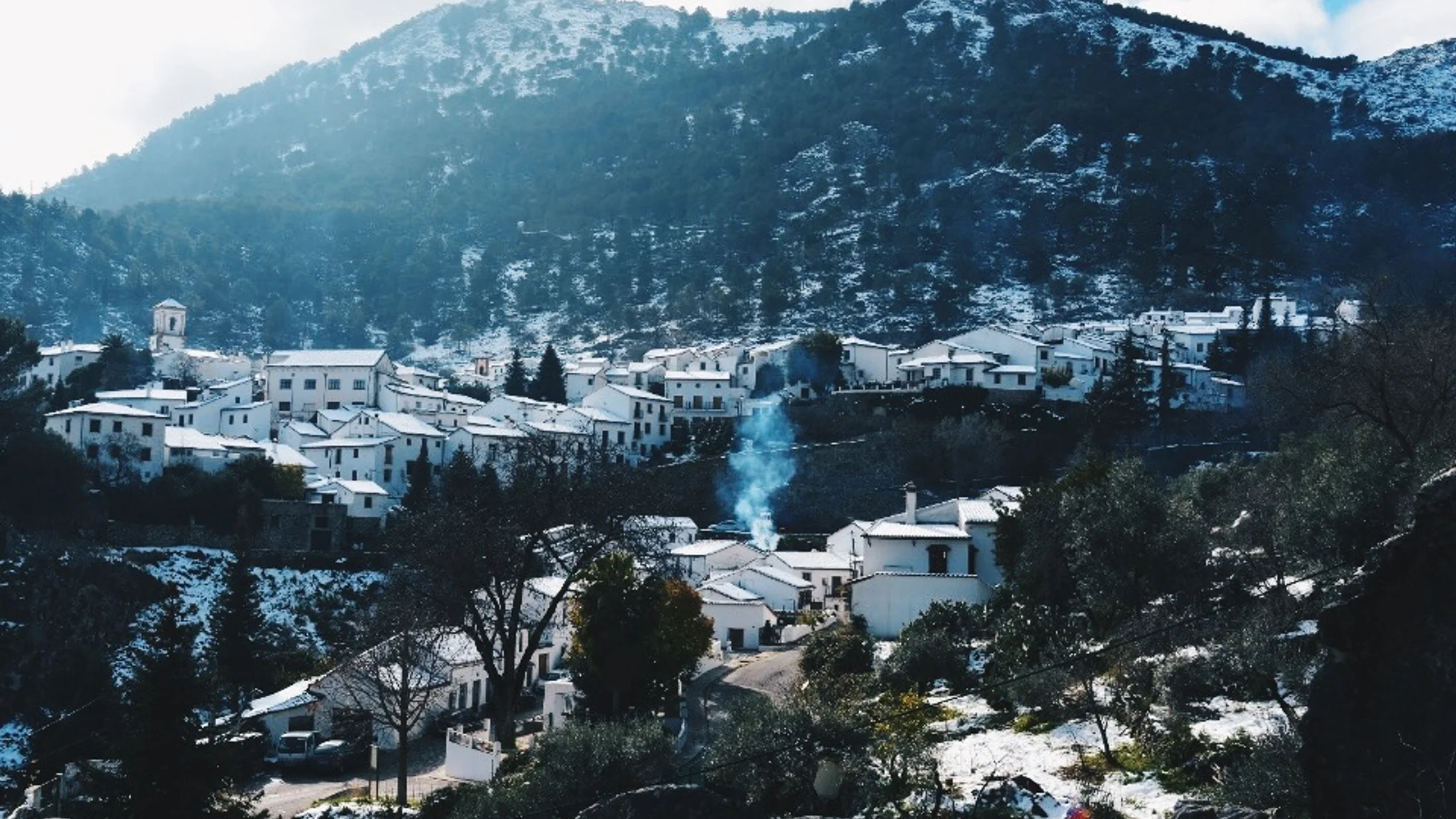
The village of Grazalema, at 812 metres, gives the park its name and is the most common starting point for walks. Its whitewashed houses and cobbled streets typify the pueblo blanco of the Cádiz highlands. Fifteen kilometres to the north, Zahara de la Sierra sits above a reservoir whose blue-green water contrasts with the grey limestone of the sierra. The Río Majaceite connects several mid-mountain trails through holm oak and Portuguese oak dehesas. The Pinsapar route, beginning in Benamahoma, winds through the finest specimens of the relict forest over 7 km with 400 metres of accumulated ascent.
The park's fauna includes, alongside the griffon vulture, golden eagle, Egyptian vulture, eagle owl and Iberian ibex, which frequents the limestone crags. Eurasian otter and brown trout survive in the streams — indicators of exceptionally clean water. The park was declared a UNESCO Biosphere Reserve in 1977, one of the first in Spain to receive that status, and its management combines ecosystem conservation with the extensive sheep and cattle grazing that has shaped the landscape for centuries.
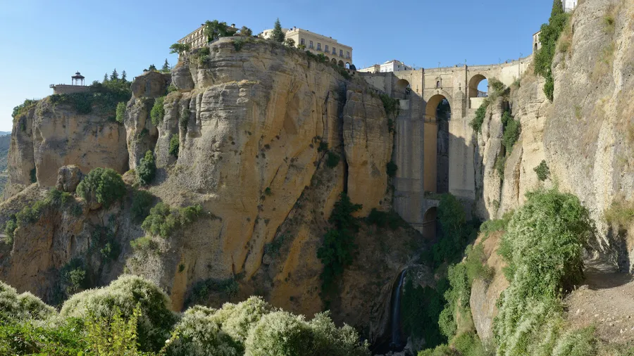
For visitors arriving from the Málaga coast or from Seville, the sierra delivers an abrupt change of scenery: in under 30 minutes from Ronda the dry lowlands of the Guadalquivir Depression give way to a green, dense landscape where water runs visibly through gorges and springs. The white villages nearby — Benaocaz, Villaluenga del Rosario, Ubrique — maintain an intimate architectural scale and a local craft tradition rooted in leatherwork and limestone carving. The park's trail network, waymarked by the Junta de Andalucía, covers all levels of effort: from one-hour walks along the Majaceite mills to full-day ascents of El Torreón or El Simancón.