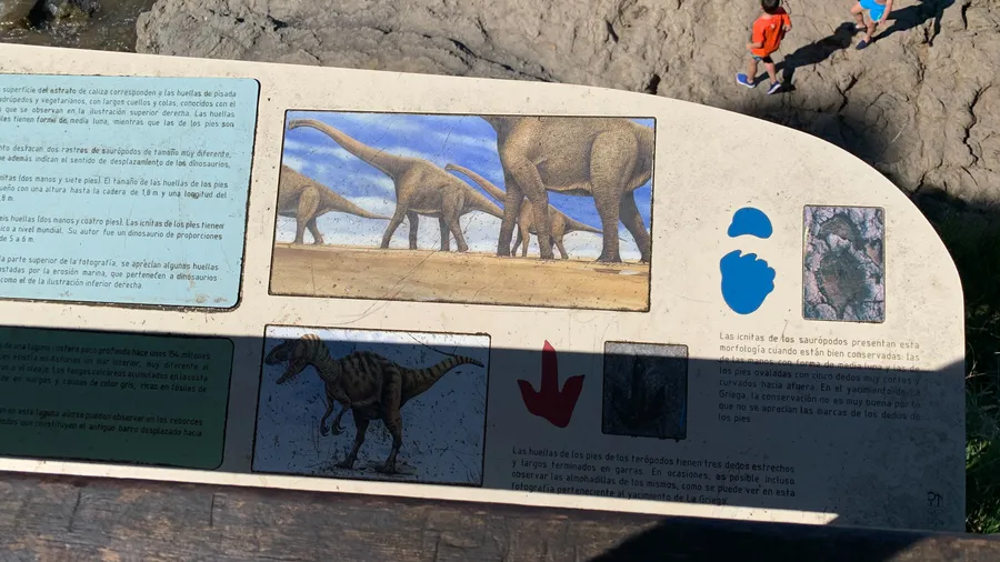
The Lagos de Covadonga —Enol and Ercina— sit in a glacial basin at around 1,070 metres altitude in the Western massif of the Picos de Europa National Park. They are a direct legacy of the last glaciation: ice carved these basins into the limestone bedrock, and when the glaciers retreated around 10,000 years ago, two lakes formed amid meadows and cliffs. Enol, the larger of the two, reaches a maximum depth of 12 metres; Ercina, shallower and slightly higher, regularly freezes in winter. The access road —AS-262— departs from Cangas de Onís and climbs 12 kilometres through a mountain pass that closes to private traffic in summer, requiring visitors to use a shuttle bus from Buferrera. In early morning, when mist descends from Mosquital, the surface of Enol mirrors the limestone ridges with a clarity that fades the moment the north wind picks up.
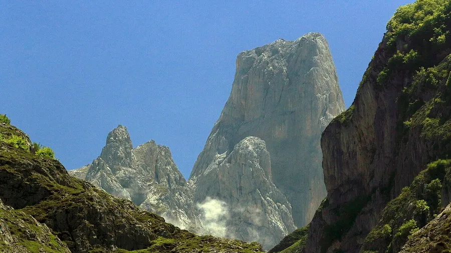
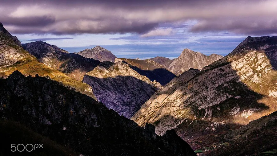
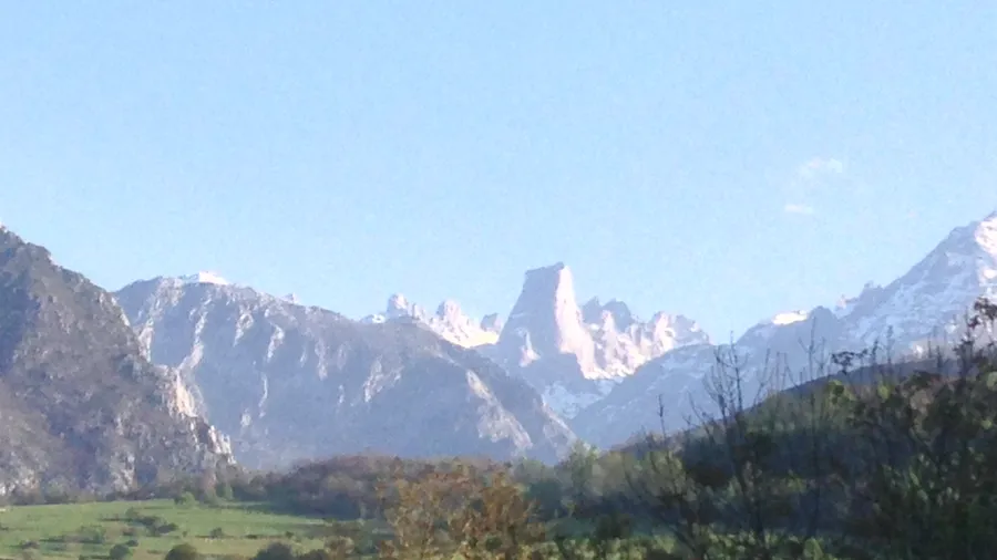
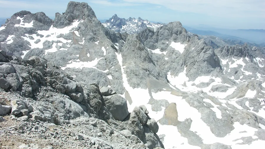
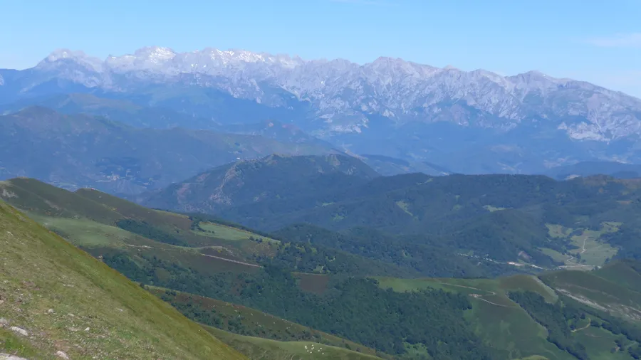
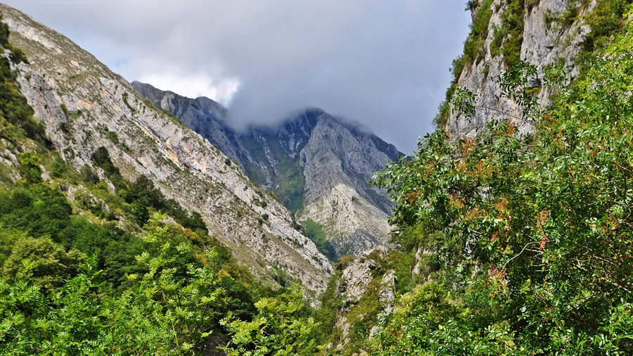
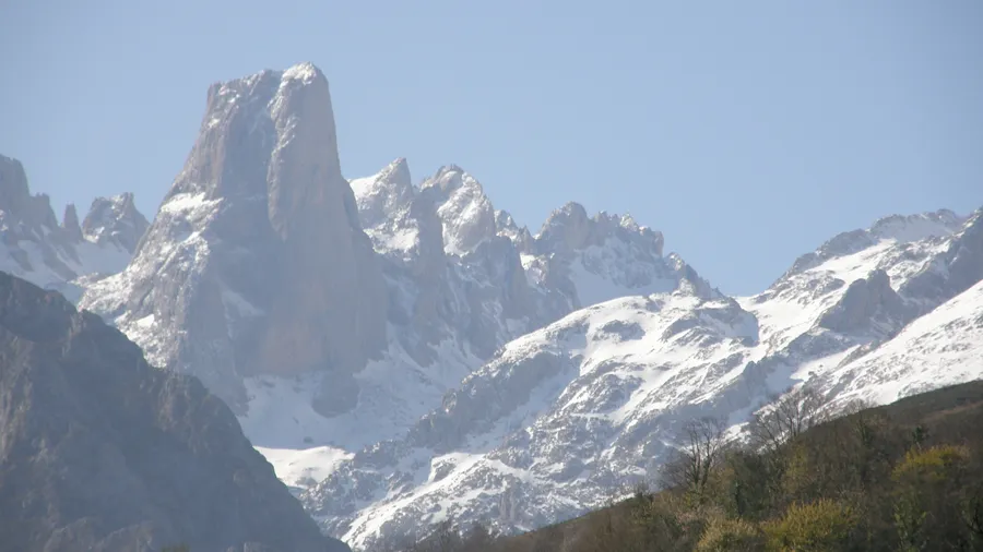
The immediate landscape is shaped by mountain pastures grazed by chamois and transhumant livestock that move up to the high pastures in spring. Above the lakes, grey limestone massifs exceed 2,000 metres: Peña Santa de Castilla (2,596 m) is visible from Enol's shore on clear days, and the walls of Mosquital and Farfada frame the northern horizon. Riparian willows and alders contrast with the beech forests that cover the slopes in yellow and orange during October and with the snow that blankets the summits from November through May. By mid-June, when the last snowfields shrink to white patches on grey rock, the pastures return to an intense green that draws the first chamois down from higher ground.
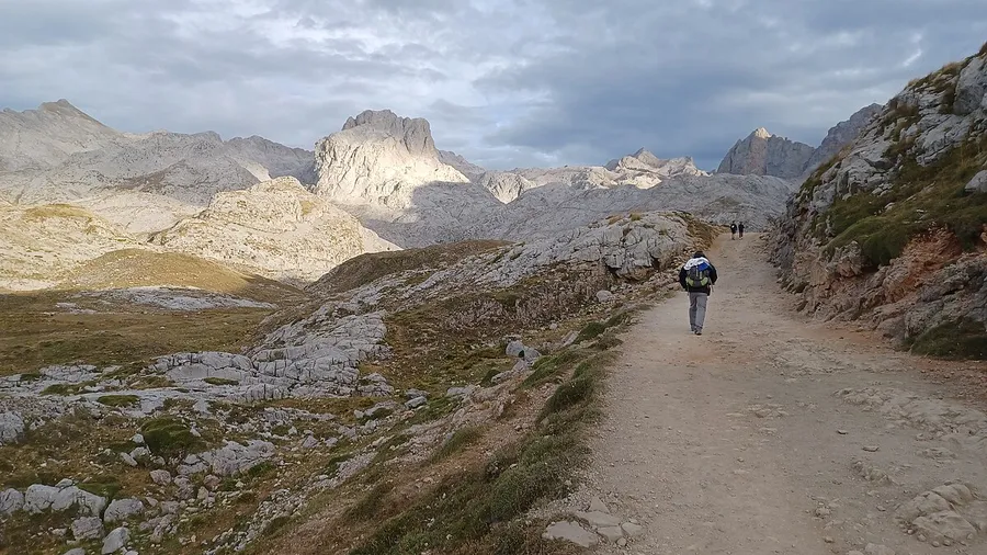
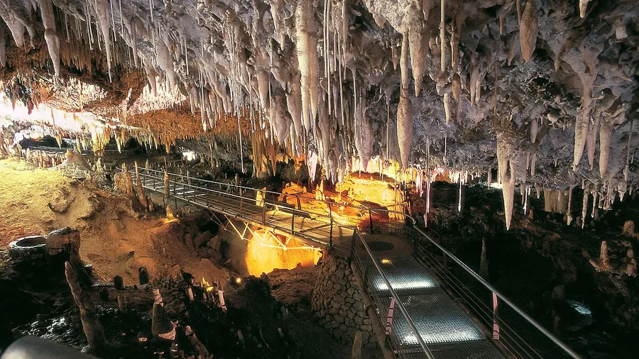
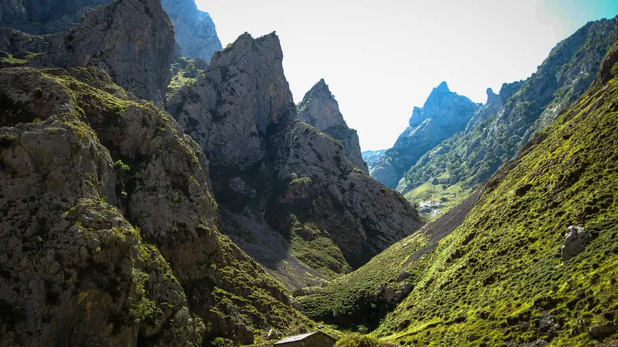
Two trails depart directly from the Enol car park. The Ruta de los Lagos is a 5-kilometre circular walk with minimal elevation gain connecting both lakes via the La Picota viewpoint, from which the three summits of the Cornión stand out clearly. The route to Vega de Ario (8 km, 700 m ascent) climbs through the Vega Enol refuge to a karst plateau where the National Park Interpretation Centre explains local geology; from there the views over the Cantabrian Sea and the Central massif are wide and unobstructed. Both routes pair well with a visit to the Covadonga basilica, 8 kilometres down the road, and to the Santa Cueva cave built into the cliff above the Deva river.
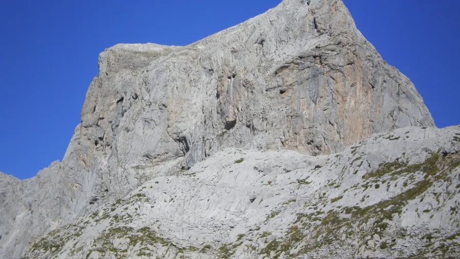
The area around the lakes is one of the best spots in the national park for observing the Cantabrian chamois (Rupicapra pyrenaica parva) on the limestone walls surrounding Ercina. Red fox, wild boar and, less frequently, Cantabrian brown bear also roam the area. Griffon vultures soar above the gullies for much of the year, and great spotted woodpeckers call from the southern beech forests. The Cantabrian capercaillie, a critically threatened subspecies, inhabits remote zones of the massif and is rarely seen near the main access routes. For photographers, the late afternoon light striking the vertical face of Farfada from Enol's northern shore produces one of the most rewarding compositions on the Cantabrian coast range.