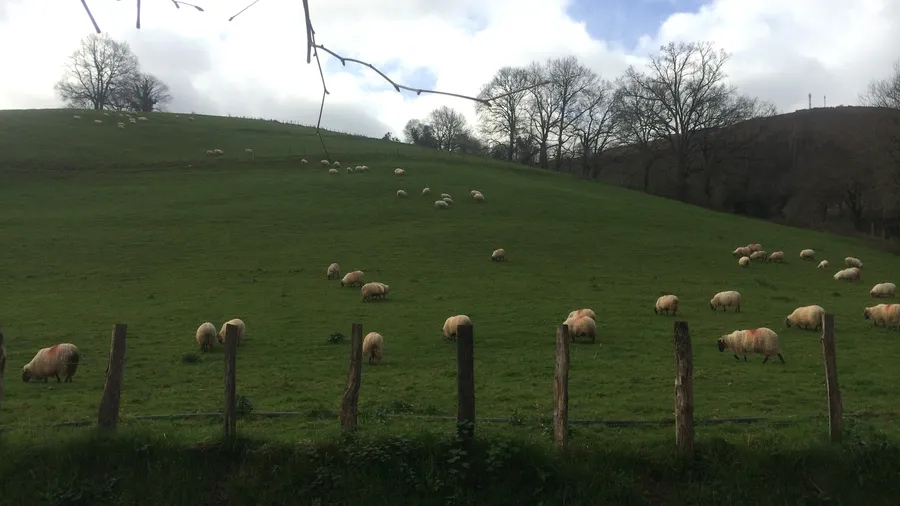
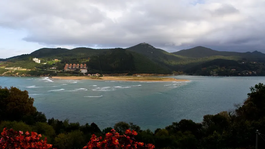
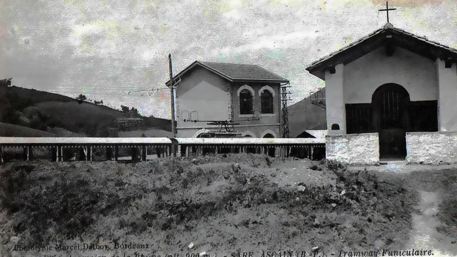
The Costa de Guipúzcoa runs for roughly 90 kilometres along the Bay of Biscay coast in Gipuzkoa province, from Deba on the Bizkaia border to Hondarribia on the French border along the Bidasoa river. It is a coast of tall cliffs with beaches tucked into river mouths or sheltered by headlands, and dense urban settlement coexisting with some of the Basque Country's most valued natural spaces. The Cantabrian Sea here ranges from 13 °C in February to 22 °C in August and produces persistent swell that has made several of these beaches European surf references. La Concha bay in Donostia-San Sebastián, its crescent shape framed by Monte Urgull to the east and Monte Igueldo to the west, is the coast's most recognisable landmark.
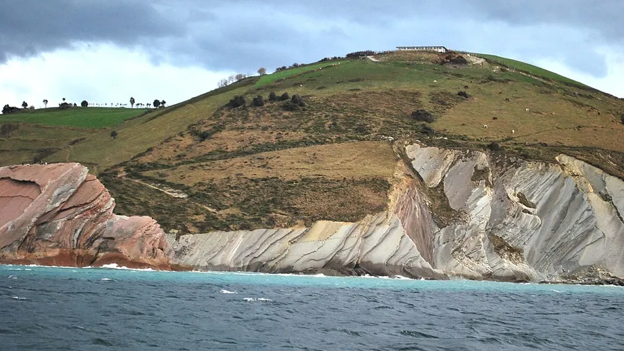
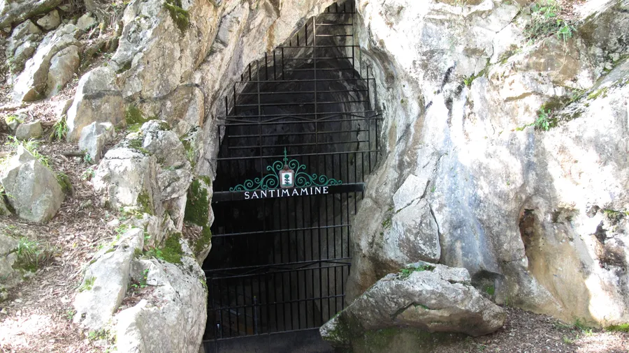
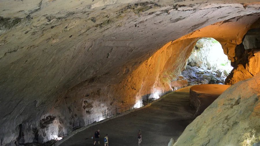
The coastal geology is varied and readable to the naked eye. The flysch of the Costa Vasca Geopark — designated a UNESCO Global Geopark in 2015 — is the richest in stratigraphic legibility of any shore on the Iberian Peninsula: the horizontal marl and limestone layers at Zumaia form the longest continuous flysch cliff in the world (13 km), recording more than 50 million years of geological history including the Cretaceous-Paleogene boundary (K-Pg) that marks the extinction of non-avian dinosaurs. The Zumaia flysch can be explored on foot along the coastal path or by sea kayak, and geopark geological guides run visits adapted to different levels of prior knowledge.
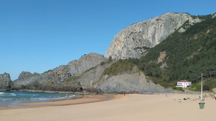
For surfing, the coast's north-westerly orientation and rocky seabed at many beaches generate tubular waves across a range of conditions. La Zurriola in Donostia is the best-known urban surf beach in northern Spain: accessible by metro, with several schools and rental on the beach, and waves exceeding 2 metres in larger swells. Mundaka in the Ría de Gernika — just across the provincial border in Bizkaia — hosts Europe's most celebrated left-hand wave. Within Gipuzkoa, Zarautz's kilometre-long beach generates regular 1 to 1.5 metre waves for most of the year and regularly hosts the World Surf League Championship. Zumaia and Deba offer rocky peaks with less crowded lineups. The median level for surfing this coast outside summer is intermediate to advanced; in July and August calmer conditions favour beginners.
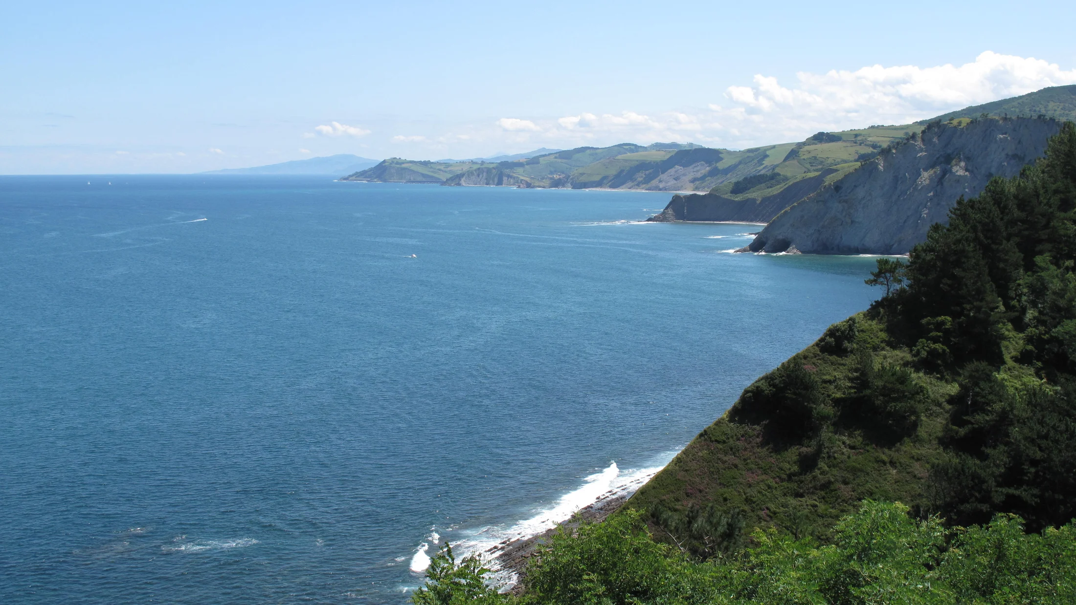
Beyond surfing, the Gipuzkoan coast offers quality coastal walking. The Coastal Route of the Camino de Santiago crosses the province west to east through Hondarribia, Pasaia, Donostia, Zarautz, Getaria and Zumaia. The section between Zarautz and Zumaia (10 km) is the most demanding and scenic: the trail climbs above the flysch cliffs and delivers views of the rock faces dropping 60 metres to the sea. Monte Jaizkibel, closing the Txingudi bay near the French border, has circular trails through oak woodland and bracken with viewpoints over the Bidasoa river. The gastronomy of the coastal villages — Getaria with its turbot and txakoli wine, Hondarribia with its cider and harbour market — completes the experience of a coast where eating well is part of the activity programme.