The essentials of Valle de Guadalest

  • • Arab castle of El Castell de Guadalest on a 720-metre sandstone crag overlooking the reservoir
  • • La Sarga Levantine rock art, UNESCO World Heritage since 1998
  • • Guadalest reservoir with turquoise water ringed by almond and olive terraces
  • • PR-CV-356 trail to the prehistoric La Encantada shelters (10 km, 400 m gain)
  • • Almond trees in bloom February–March with Aitana peak (1,558 m) as backdrop

Description

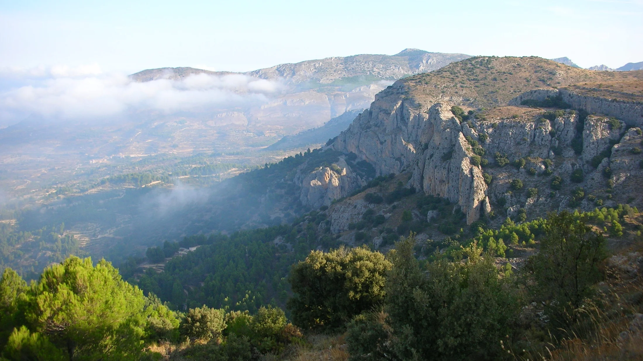
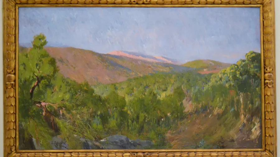
The Valle de Guadalest is enclosed in the interior of the Marina Baixa comarca of Alicante, about 24 kilometres north of Benidorm and 70 kilometres from Alicante city. The Guadalest reservoir, built in the 1960s on the river that names the valley, visually dominates the centre of the territory with waters that turn turquoise in summer and dark green in winter, surrounded by terraced almond and olive slopes that climb to the ridges of the Sierra de Aitana. The village of Guadalest, perched on a red sandstone outcrop at 720 metres altitude, receives the bulk of the more than one million annual visitors the valley attracts.

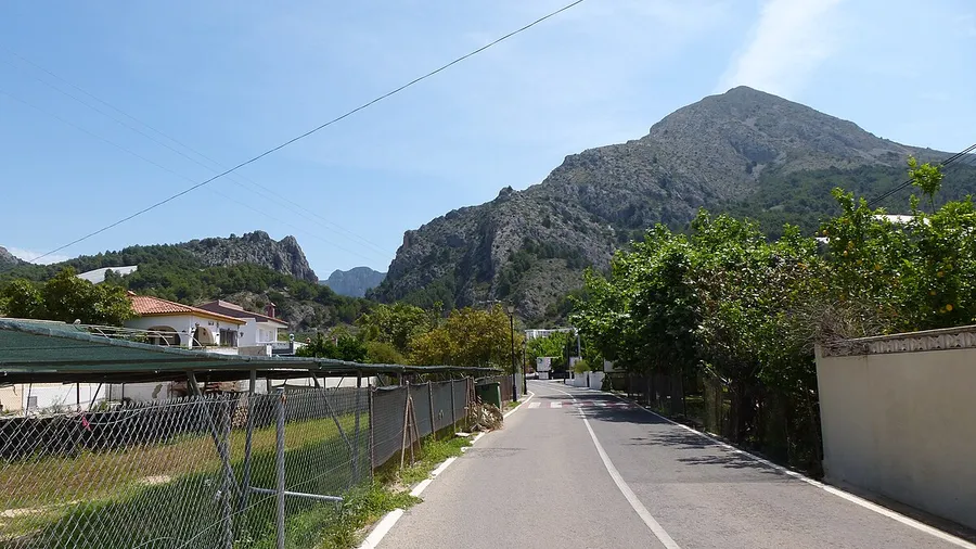
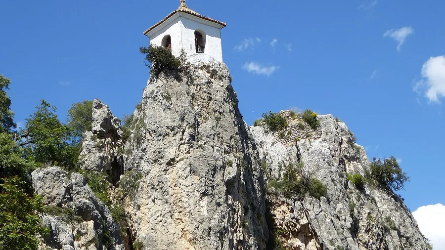
The municipality of El Castell de Guadalest, the main historic settlement, has one of the most unusual defensive sites in the Valencian Community. The rock it stands on is accessible only through a tunnel carved into the stone, which served as the sole entrance for centuries; on the far side, the remains of the Arab castle (11th century, remodelled in the 14th–17th centuries) and the bell tower of the church of San José stand against the void of the 700-metre drop to the reservoir below. From the Torre de la Alcozaiba terrace, the crags of the Sierra de Aitana (1,558 m) close the horizon to the north, and the villages of Benimantell, Confrides and Beniardà form an amphitheatre of orchards and farmsteads on the valley floor.

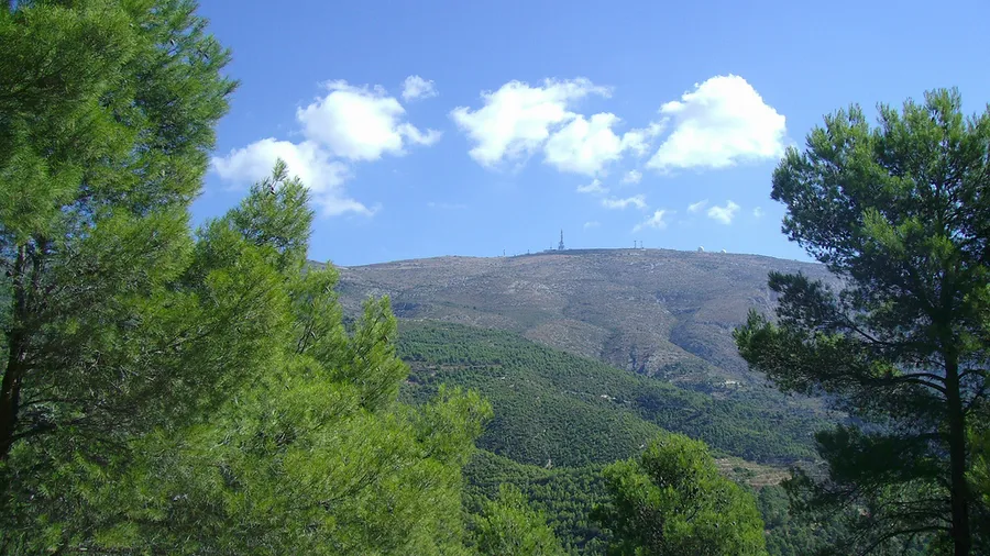
The valley's agricultural landscape combines almond trees (Prunus dulcis), which flower in February and March with a burst of white blossom before the leaves appear, with olive (Olea europaea) on dry-stone terraces and carob at the lower elevations. The vine was historically important but has retreated. The higher parts of the Aitana massif that borders the valley to the north support holm oak (Quercus ilex subsp. rotundifolia) and Aleppo pine (Pinus halapensis) on the shaded slopes, while the south-facing hillsides present thermophilous scrub of rosemary, gorse and esparto grass. Raptors include Bonelli's eagle (Aquila fasciata), which nests on the cliffs of the Peña de Sella, and peregrine falcon (Falco peregrinus), regularly seen on the reservoir cliffs.

The valley trail network includes the Sarga route (PR-CV-356), a 10-km path with 400 m of elevation gain linking Guadalest with the Encantada ravine and the La Sarga prehistoric rock art shelters, declared UNESCO World Heritage in 1998 as part of the Mediterranean Basin Rock Art of the Iberian Peninsula. The Sarga sites contain deer, archers and warrior figures painted from the Epipaleolithic to the Bronze Age and are the most accessible Levantine rock art ensemble in Alicante province. The Serrella route (PR-CV-183), 15 km with 700 m of gain, climbs the south face of the Serrella massif to the summit meadows with views to the sea to the south and the Sierra de Mariola to the west.

Practical information

Everything you need to know for your visit to Valle de Guadalest

How to get there
From Benidorm (24 km): CV-70 direct to Guadalest in about 30 min. From Alicante (70 km): AP-7 motorway to Benidorm, then CV-70 (approx. 1 h). ALSA bus Benidorm–Guadalest: 2–3 daily services in high season, limited otherwise.
Area Information
Guadalest: medieval village with several themed museums, restaurants and souvenir shops. Benimantell and Confrides: quiet rural tourism. Tourist office at the village entrance. Paid parking on the CV-70; free parking 500 m before the village.
Geography
Valley enclosed in the Marina Baixa (Alicante), between the Sierra de Aitana (1,558 m) to the north and coastal spurs to the south. Guadalest reservoir at 550 m. Village perched on sandstone crag at 720 m. Terraced almond and olive slopes throughout.
Flora & Fauna
Almond, olive and carob on cultivated terraces. Holm oak and Aleppo pine on Aitana shaded slopes; rosemary, gorse and esparto scrub on sunny exposures. Wildlife: Bonelli's eagle, peregrine falcon, eagle owl, stone marten and deer on the upper slopes.

Things to do

Find the best plans and things to do in Valle de Guadalest

20

Accommodations

Best accommodation options in Valle de Guadalest

Loading accommodation options...

Frequently Asked Questions

Get answers about Valle de Guadalest

The medieval village concentrates most visitors for a few hours, but the rest of the valley offers much more. The Sarga trail (10 km) leads to shelters with 8,000-year-old rock paintings. The reservoir is accessible from several points for picnics or organised kayaking. The villages of Benimantell and Confrides have quiet rural paths, and local gastronomy includes coca flatbreads, mountain rice dishes and the region's artisan nougat.
The Levantine rock art shelters of La Sarga are UNESCO World Heritage. Access is free but regulated: you must book in advance with the Museu Arqueològic d'Alcoi (MARQ), which manages guided visits with a heritage interpreter. The route from Alcoi is about 10 km one way; access from Guadalest is also possible via trail PR-CV-356. Check the MARQ website for available dates and times.
The most photographed viewpoint is the Torre de la Alcozaiba terrace in Guadalest (720 m), with direct views of the reservoir and surrounding ridges. Along the CV-70, a signed lay-by 3 km before the village offers the classic angle of the crag with the castle. For the highest views, the Serrella route reaches ridges above 1,300 m from which you can see the reservoir, the inland valleys and the Benidorm coast simultaneously.
The Guadalest reservoir is a drinking water reserve, so swimming and free navigation are prohibited. Local companies run guided kayak and canoe tours with specific authorisation, usually in groups of 6–12. Sessions last 2–4 hours and allow access to shoreline areas unreachable on foot. Booking in advance is recommended, especially in spring and autumn when demand outstrips availability.
Almond blossom in the Valle de Guadalest typically begins between 10 and 20 February, depending on winter temperatures. Flowers last two to three weeks before falling with early March rains. The best years coincide with dry, slightly mild winters that advance bud break; very cold or wet winters can push flowering into early March. Snow on Aitana visible behind almond blossom in the valley is the valley's defining photographic image.