The essentials of Aizkorri-Aratz Natural Park

  • • Aizkorri (1,528 m): highest summit in Gipuzkoa with views from the Cantabrian coast to the Pyrenees
  • • San Adrián tunnel: 50 m natural gallery with rock-cut hermitage, a Camino de Santiago pass since the 12th century
  • • Arrikrutz caves: 7 km of cave passages and 270 m depth in the municipality of Oñati
  • • GR 25: 18 km ridge route between Zegama and Arantzazu with 1,100 m of ascent
  • • Continuous European beech forest on slopes between 400 and 1,000 m elevation

Description

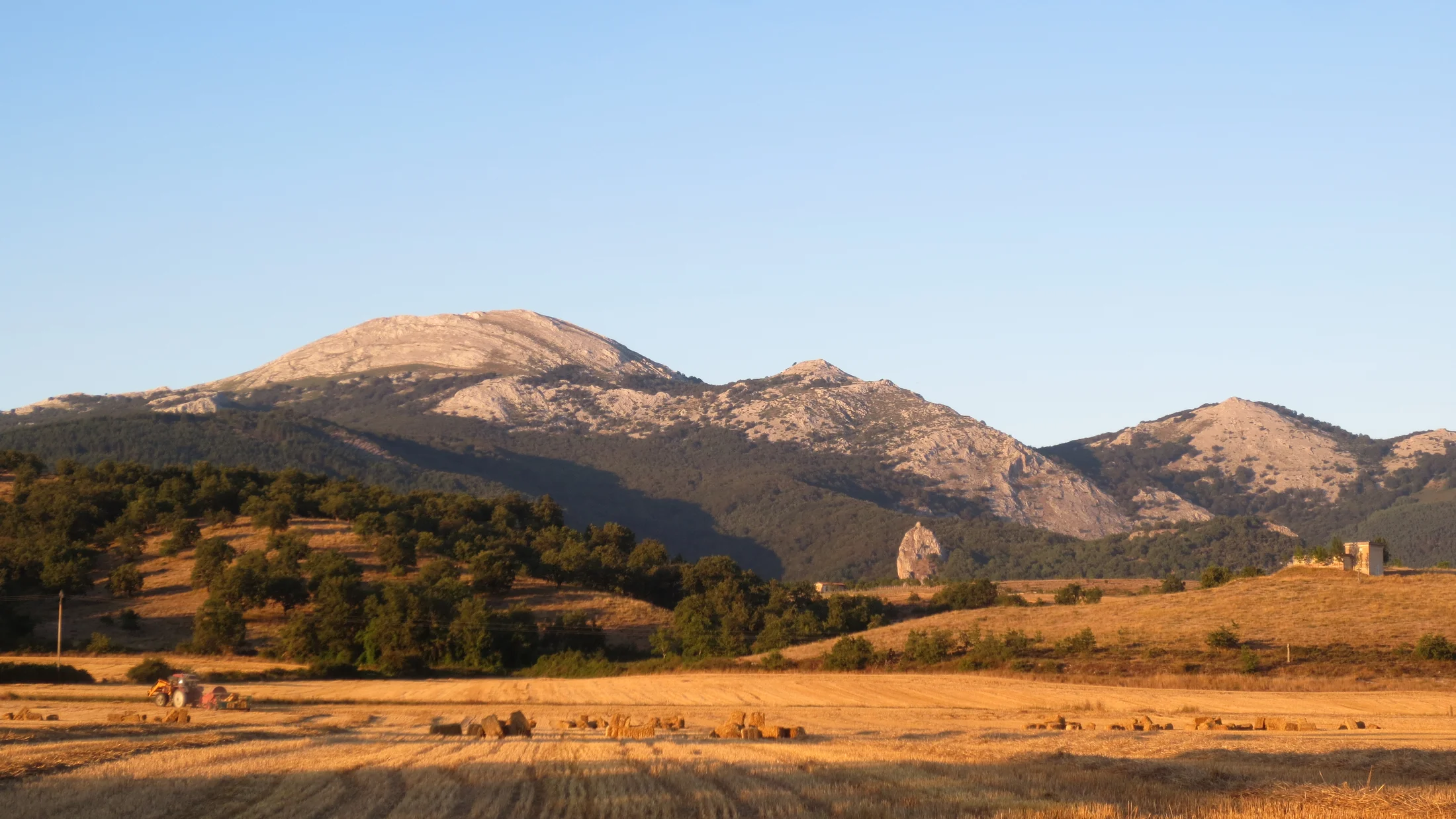
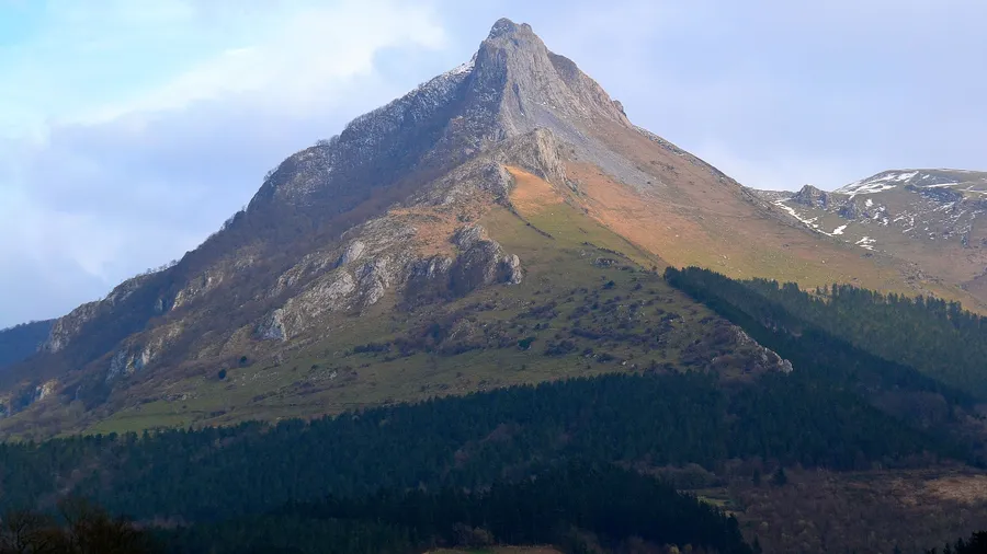
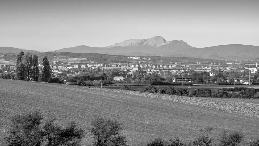
The Aizkorri-Aratz massif spans the southern edge of Gipuzkoa and the northern tip of Álava, forming a limestone barrier that reaches 1,528 metres at Aizkorri peak — the highest point in Gipuzkoa — and 1,443 metres at Aratz, its summit in Álava. This is the most rugged mountain system in the Basque Country: the flat or gently inclined ridgelines typical of Pyrenean and Cantabrian ranges give way here to pronounced karst topography, with sinkholes, swallow holes and poljes carved by water dissolving limestone over millions of years, creating an underground landscape as complex as the one above.

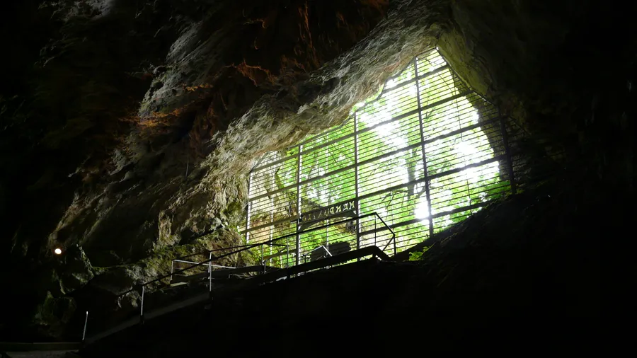
The Arrikrutz caves in the municipality of Oñati are the park's reference speleological site. The explored system extends more than 7 km with a depth of 270 metres. In the main gallery, accessible with a guide, stalactites and stalagmites of aragonite and calcite can be seen — formations that grew over hundreds of thousands of years in complete darkness. The deeper galleries are accessible only to technical cavers, but the 600-metre public section gives a representative sample of the Álava karst geology.

The San Adrián tunnel pierces the mountain at one of the most distinctive passes in the western Pyrenees. This natural gallery, 50 metres long and 7 metres high, served for centuries as one of the main routes of the Camino de Santiago, with a pilgrim hostel documented in the 12th century that sheltered travellers from the harsh winter crossing. At the northern entrance, a hermitage dedicated to Saint Adrian is carved directly into the rock. The trail climbing from Zegama to the tunnel gains 600 metres of elevation through beech forest and high-altitude pasture.

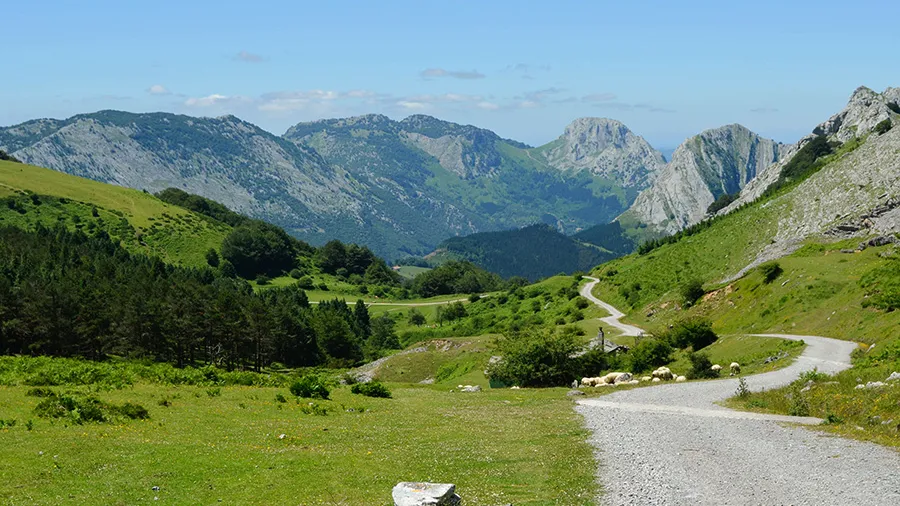
The park's beech forests are the most extensive in the western section of the Cantabrian range, with continuous stands covering the slopes between 400 and 1,000 metres. In autumn, the reddish foliage of European beech (Fagus sylvatica) contrasts with the grey-white limestone crags above. The GR 25, crossing the Aizkorri crest from north to south, is the park's defining mountain route: 18 km with 1,100 metres of accumulated ascent connecting Zegama with Arantzazu, the most visited Marian sanctuary in the Basque Country, dramatically situated at the base of the Aloñ limestone needles.

The natural park sees fewer visitors than other Basque mountains such as Gorbea or the Urola peaks, making it well suited for those seeking mountain days without crowds. Refuges and traditional stone farmsteads scattered along the crests allow two- or three-day traverses. The proximity of the Arantzazu sanctuary adds a cultural dimension rarely found in other parks: the 1950s architectural complex, with its lattice facades and integrated Chillida sculptures, is one of the most significant examples of avant-garde religious architecture in twentieth-century Spain.

Practical information

Everything you need to know for your visit to Aizkorri-Aratz Natural Park

How to get there
From Vitoria-Gasteiz, take the A-1 motorway towards San Sebastián and exit at Zegama (about 60 km). From San Sebastián, the GI-632 reaches Zegama in 40 km. For Arantzazu, take the GI-3591 from Oñati. There is no direct train; the Vitoria–San Sebastián bus stops at Zegama.
Area Information
The natural park was declared in 1994 and is managed jointly by the Diputaciones Forales of Gipuzkoa and Álava. The main municipalities are Zegama, Oñati and Legazpi in Gipuzkoa, and Araia in Álava. The Arantzazu sanctuary (15th century, rebuilt in the 1950s) is the most visited point in the park.
Geography
Upper Cretaceous limestone karst massif. Rugged relief with jagged ridges, crags and karstic depressions. The Oria river rises on the massif's slopes. Elevations range from 200 m in the valleys to 1,528 m at Aizkorri. The natural park covers 15,930 ha.
Flora & Fauna
Dominant beech forest (Fagus sylvatica) between 400 and 1,000 m. On the crests, Festuca and Deschampsia grasslands with isolated holly trees (Ilex aquifolium). Fauna includes roe deer, red fox, wild boar, blue rock thrush and occasional griffon vulture from neighbouring ranges. Amphibians in the high-altitude peat bogs.

Things to do

Find the best plans and things to do in Aizkorri-Aratz Natural Park

20

Accommodations

Best accommodation options in Aizkorri-Aratz Natural Park

Loading accommodation options...

Frequently Asked Questions

Get answers about Aizkorri-Aratz Natural Park

The standard route from Zegama via the GR 25 is a medium-high mountain hike: 18 km with 1,100 m of accumulated ascent across karst terrain with exposed sections on the crest. No technical gear is needed in summer, but a good level of fitness and rigid mountain boots are required. In winter or spring, snow and ice at altitude may require crampons and self-arrest skills.
Arrikrutz is a karst system in Oñati municipality with over 7 km of explored passages. A 600-metre public section is accessible on guided tours, requiring no caving experience or special equipment. Visits have restricted hours and limited capacity; advance booking is recommended. The interior maintains a constant temperature of around 12 °C.
The San Adrián tunnel is a 50-metre natural gallery eroded by karst in the limestone massif. During the Middle Ages it was one of the most travelled passes in the western Pyrenees for pilgrims on the Camino de Santiago. The rock-cut hermitage at its northern entrance dates from the 12th century. It is reached from Zegama by following the GR 25 trail for about 90 minutes, climbing 600 m through beech forest and high-altitude pasture.
The beech forests on the Aizkorri-Aratz massif change colour between mid-October and early November. The slopes above Oñati and the valleys leading to Arantzazu offer some of the best views. Peak colour lasts roughly two weeks and depends on that year's rainfall and temperatures.
The Arantzazu sanctuary is a religious complex at the foot of the limestone needles of the Aloñ massif, at about 800 metres elevation in the municipality of Oñati. Founded in the 15th century and rebuilt between the 1950s and 1970s with avant-garde architecture — including works by Eduardo Chillida and Néstor Basterretxea — it can be reached from the Aizkorri summit via the GR 25 in about 5 to 6 hours, or by car from Oñati along the GI-3591 in 15 minutes.