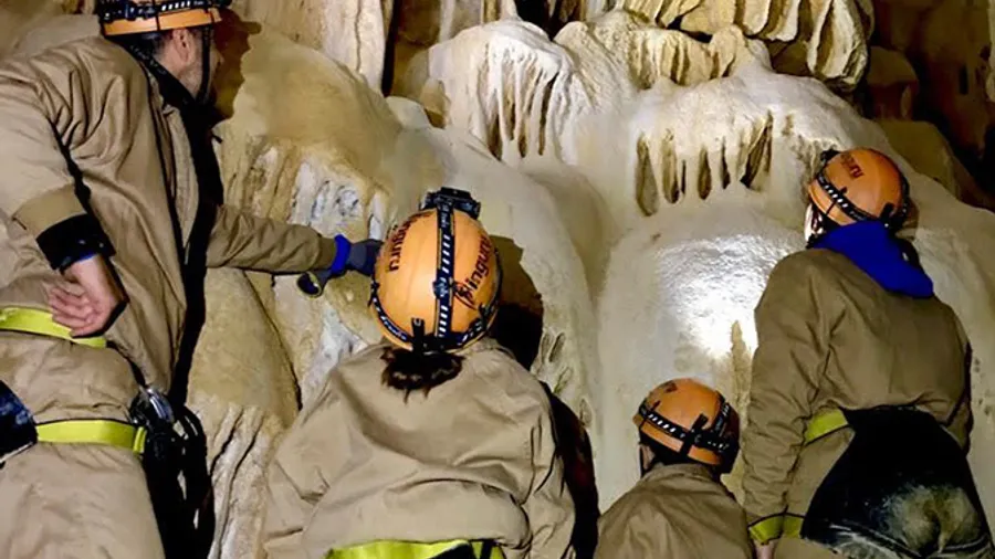
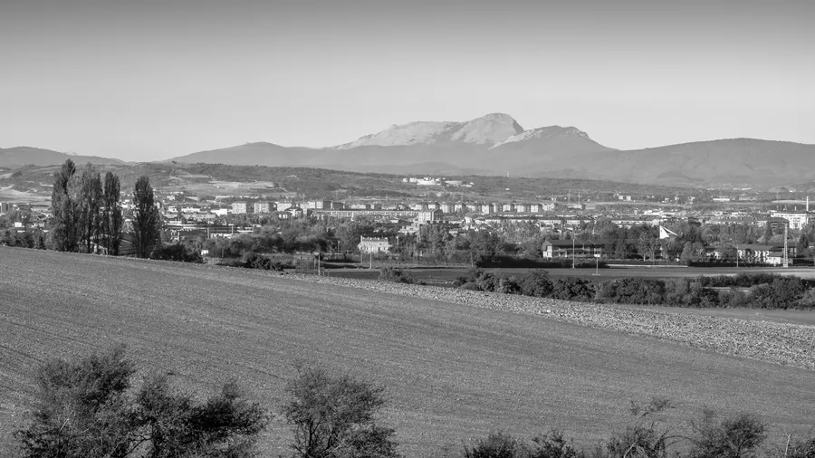
Parque Natural de Gorbeia extends across the border between Álava and Biscay, on the western end of the Gorbea range, and concentrates within its 20,016 hectares the greatest variety of beech forest ecosystems in the Basque Country. The massif reaches 1,481 metres at Pico Gorbea, crowned by the Cruz de Gorbea, one of northern Spain's most recognisable mountain landmarks. The terrain combines open summits with deep, humid valleys where water is everywhere: in the Altube, Arnauri and Arrati rivers, in streams descending from karst formations, and in the Gujuli waterfall, which drops 45 metres from a moss-covered limestone lip into a narrow gorge with vertical walls.
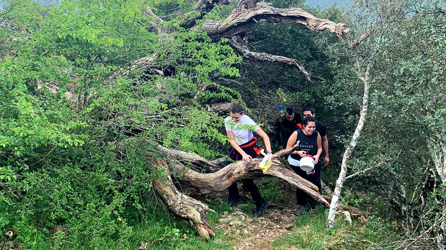
Beech forest is the dominant woodland above 400 metres. The most mature stands on north-facing slopes towards the Arrankudiaga valley hold beeches with trunks 80-100 cm across and heights exceeding 25 metres, with an understorey of ferns (Dryopteris affinis, Athyrium filix-femina) that forms a lime-green carpet under the bare branch canopy in spring. Pedunculate oak (Quercus robur) woodland occupies valley floors and warmer-facing slopes, while the park's limestone areas to the north support cliff-face plant communities and isolated holm oak stands on the driest sites. The scattered presence of yew (Taxus baccata) is significant from a biogeographical perspective.
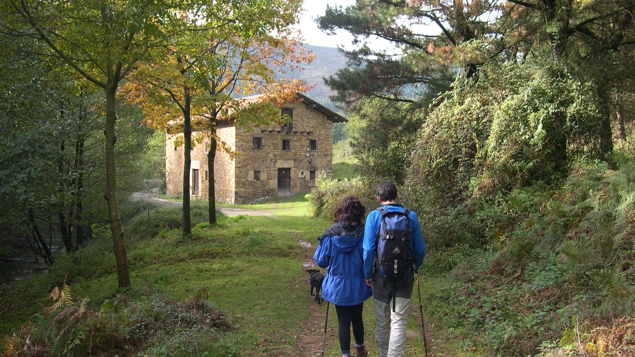
The park has more than 120 kilometres of waymarked routes organised by difficulty level. The ascent of Pico Gorbea (1,481 m) from the Altube col is the most frequented route, covering about 14 km return with 700 metres of elevation gain, fully signposted throughout. The Gujuli waterfall is accessible via a three-kilometre path from the Pozo Negro car park with virtually no technical difficulty. The Arnauri River Park route follows five kilometres of riverside through pedunculate oak forest with old-growth structure between Barazar and Murua. In winter, the Aratz sector and the high passes at Barazar and Urquiola offer snowshoeing conditions between December and March.
The park's wildlife includes the Iberian wolf, whose presence has been documented on the massif through camera trap records; abundant roe deer in the beech forest; stone marten (Martes foina) and badger (Meles meles) at forest edges; and peregrine falcon (Falco peregrinus) on the northern limestone walls. The park's rivers support populations of brown trout (Salmo trutta) and otter (Lutra lutra), indicators of good water quality. The popular myth of the Basajaun — the lord of the forest in Basque mythology, protector of flocks and beech woodland — is closely associated with the Gorbea, something worth knowing before setting off into the most solitary forest sections at dawn.