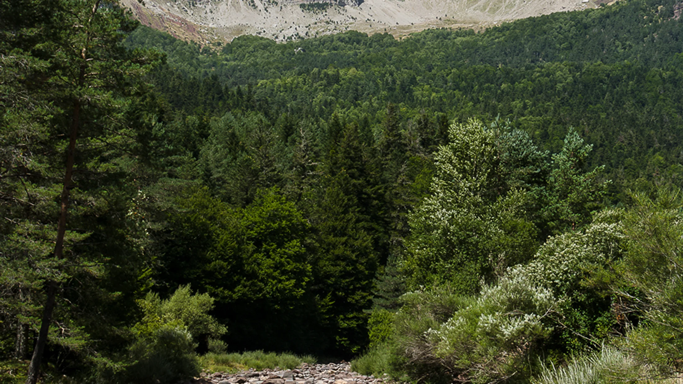
The Parque Natural de los Valles Occidentales spans the northwestern corner of the Aragonese Pyrenees in the Jacetania comarca, covering the valleys of Hecho, Ansó and Aragón Subordán. Its 34,184 hectares rise from 800 metres in the valley floors to 2,444 metres at Mesa de los Tres Reyes, the highest point in the Aragón region. Early morning light raking low across the beeches of the Canal de Izas turns the leaves a fluorescent green that has no equivalent elsewhere in the central Pyrenees.
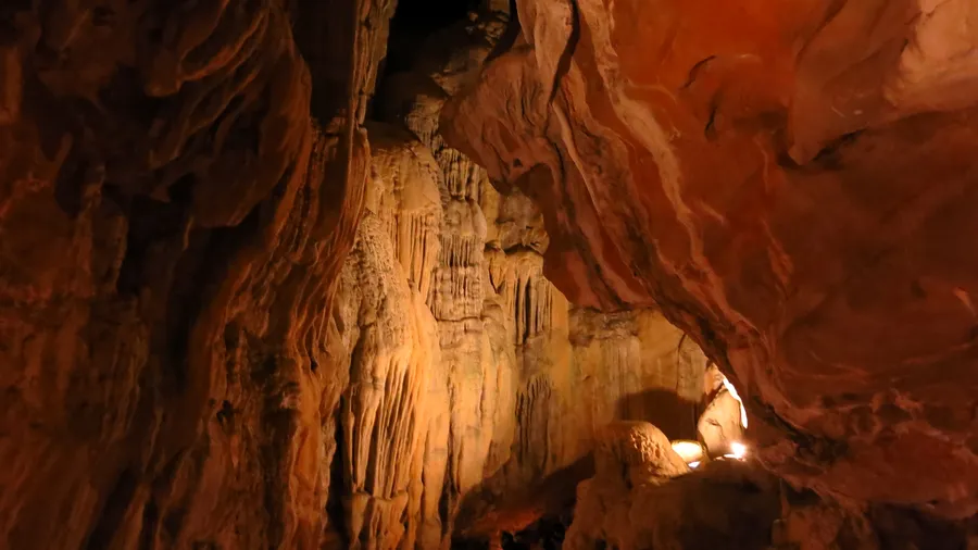
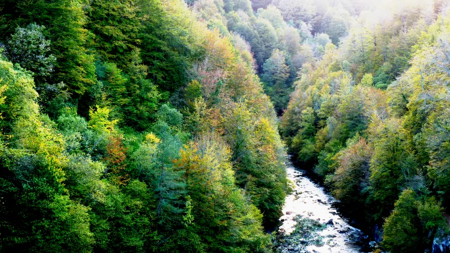
The park's geology combines Upper Cretaceous limestones on the summits with Palaeozoic slate outcrops on the lower valley walls. This lithological variety creates a landscape of contrasts: glacial cirques such as Acherito (2,369 m) and Taxeras, with their small tarns of cold translucent water, sit above the deeply carved river gorges of the Hecho and Ansó, whose crystal-clear waters run over a bed of white calcareous gravel. The karst of the Selva de Oza is one of the most unusual geological features: lapies, dolines and swallow-holes appear between beech and fir trees that disorient the walker and heighten the sense of isolation.
Vegetation moves clearly between the subalpine and montane belts in a compressed vertical sequence that is hard to find in such a small area. In the montane belt (800–1,600 m), beech forest (Fagus sylvatica) dominates the shaded slopes, often mixed with silver fir (Abies alba) on the wettest north-facing aspects. Ash and black poplar line the rivers. Above 1,600 metres, mountain pine (Pinus uncinata) forms open stands to the treeline near 1,900 metres, where alpine meadows of fescue and nardus give way to rock ridges and permanent snow. Prostrate juniper (Juniperus communis subsp. alpina) and alpenrose (Rhododendron ferrugineum) cover the screes below the crests with intense patches of red and green in summer.
The fauna includes some of the most iconic Pyrenean species. Lammergeier (Gypaetus barbatus) breeds regularly on the cliffs of the Anie massif and the Hecho gorge, visible soaring over the valleys year-round in search of bones. Brown bear (Ursus arctos), sparsely present on the Spanish side of the western Pyrenees, occasionally uses the park as a movement corridor. Pyrenean chamois (Rupicapra pyrenaica pyrenaica) inhabits the alpine meadows above 1,700 metres; its winter tracks in the snow are among the few signs of life during the coldest months. Rivers and torrents support otter (Lutra lutra) and white-throated dipper (Cinclus cinclus), which literally walks along the bottom of the Aragón Subordán searching for caddisfly larvae. Native brown trout (Salmo trutta fario) populations persist in the upper reaches of the Hecho and Ansó rivers.