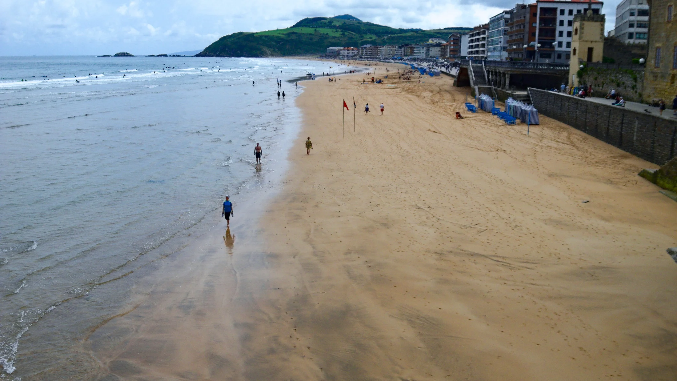
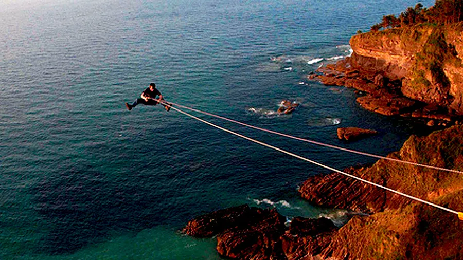
The Costa de Zarautz packs one of the most celebrated surf setups on the Cantabrian coast into barely two kilometres of sand. Zarautz beach, facing northwest, catches Atlantic swells rolling in from Ireland and Scotland and shapes them into long, forgiving waves suited to beginners finding their balance and to experienced surfers working on rail turns and cutbacks. At dawn, as the tide pushes in and slanted light turns the water copper, the wind whistling across the Getaria headland sets the session's tempo.
The Basque coastline between Getaria and Zarautz is more than beach and surf. The shore alternates between sheltered coves, rocky capes and vineyard slopes that run almost to the waterline. Around Getaria, Hondarrabi Zuri vines produce the local Txakoli, a dry white wine with bright acidity and a gentle fizz that pairs naturally with fresh fish from the harbour market. Several wineries open their doors for guided visits covering the production cycle shaped by the Bay of Biscay's maritime climate. Tasting a glass while looking out over the Zumaia estuary connects flavour directly to landscape.
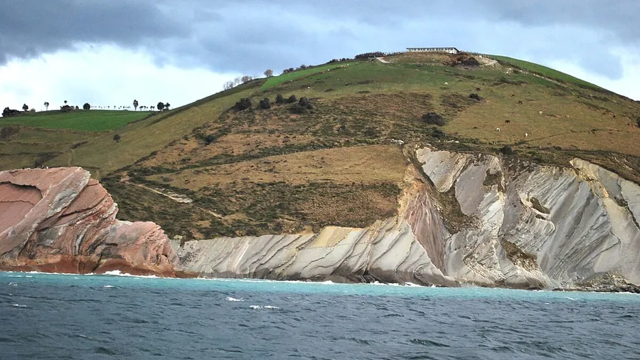
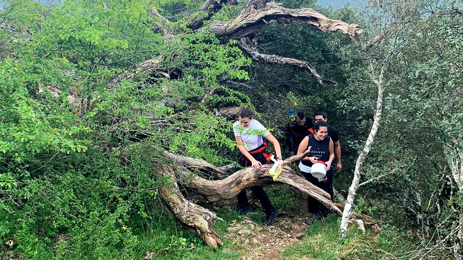
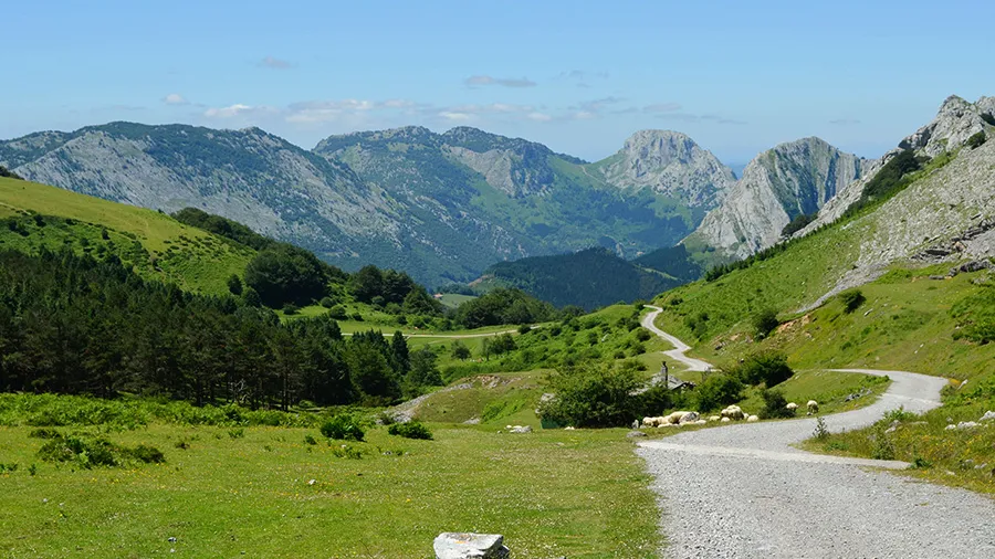
Two walking routes structure the coast on foot. The Camino de Santiago Coastal route from Zarautz to Getaria follows clifftops above the sea, cuts through a mixed oak and laurel wood, and ends at the fishing port below the San Antón islet lighthouse. The Flysch route at Zumaia, a short drive west, crosses 50 million years of sedimentary rock exposed vertically in the cliffs; local guides point out the Cretaceous-Paleogene boundary, marked by a thin dark iridium layer visible at eye level. Trail difficulty varies with the tide: at high water, short scrambles over rocks may be required.
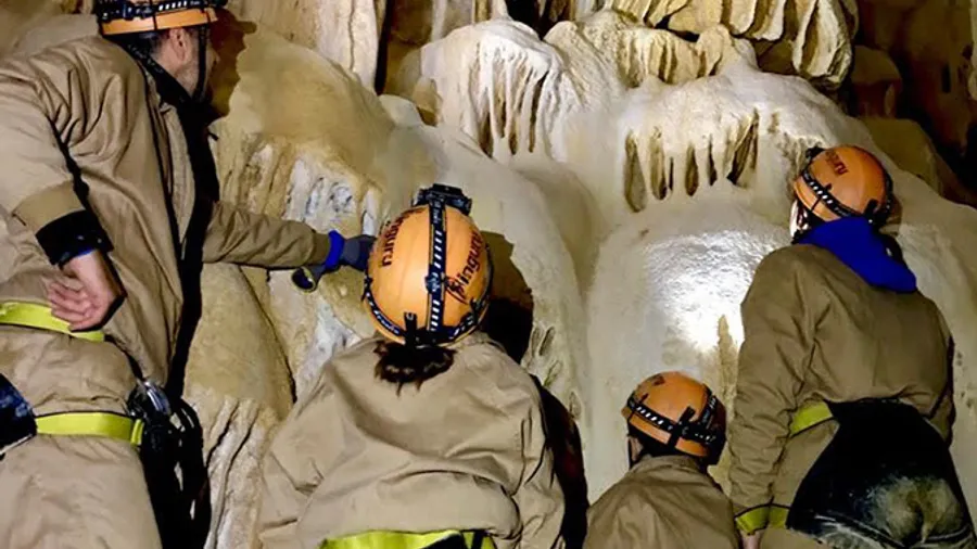
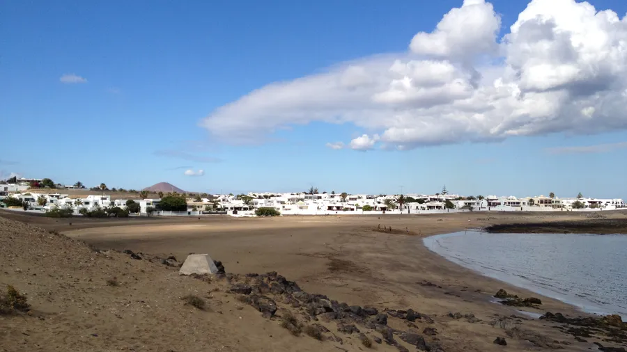
Water activities extend well beyond surfboard riding. Local schools run sea kayak tours around the Santa Bárbara cape and into sea caves only accessible from the water, where rolling swells produce a low resonant hum inside limestone chambers. Stand-up paddleboarding in the sheltered estuary area combines a relaxed pace with wildlife watching: great cormorants drying their wings on exposed rock, yellow-legged gulls patrolling the shoreline, and in summer occasional common dolphins tracking anchovy shoals near the channel mouth. For families with young children, the northern end of Zarautz beach, beside the wooden boardwalk, provides sandy shallows with minimal current during most of the tidal cycle.
The Basque coast's oceanic climate spreads rainfall fairly evenly through the year, with June through September offering the most reliable stretches of sun. Water temperature ranges from around 14 °C in winter to 21 °C at the August peak. Autumn, which begins here in earnest in October with the first Atlantic storms, draws experienced surfers because swell size increases and beaches clear of holiday crowds. Spring, with sun between short rain showers, is when the hillside greens are most saturated and the Urola valley market gardens yield their first Tolosa beans.