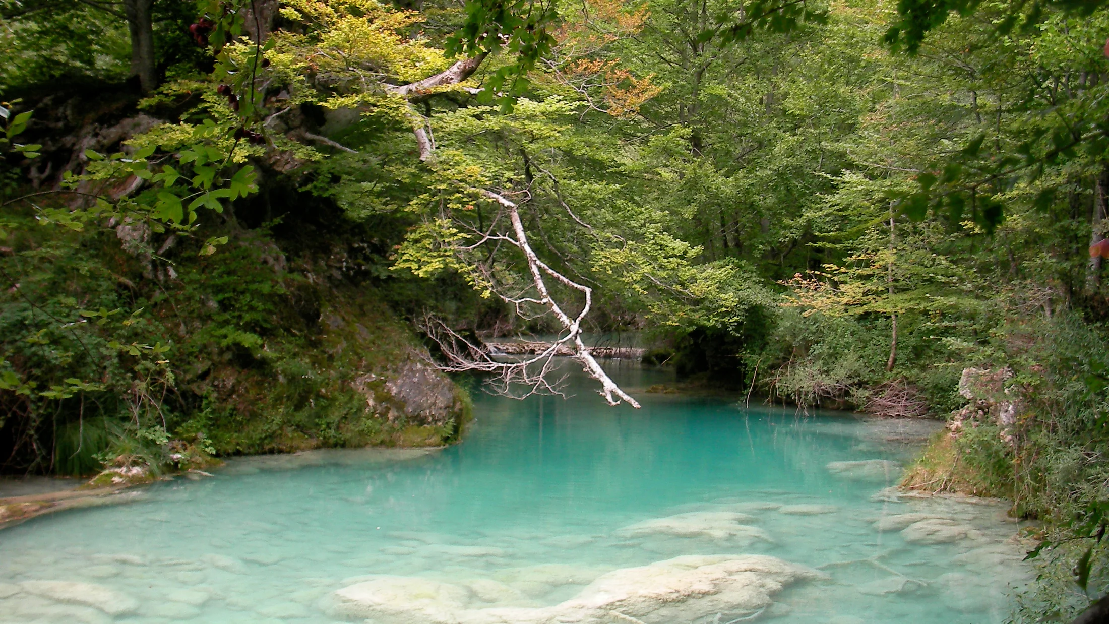
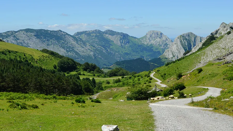
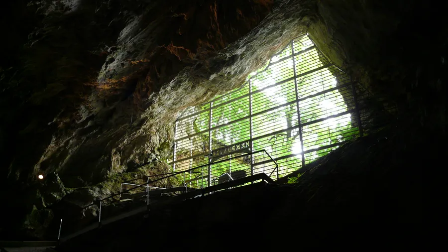
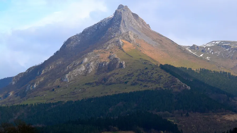
The Sierra de Urbasa rises as a limestone plateau at 900 metres above sea level in central-western Navarre, between the Améscoa and Barranca valleys. Its roughly 21,000 hectares shelter one of the most extensive beech forests in southern Europe, a dense canopy where light filters through in green-tinged tones even at midday. The karst bedrock has shaped a landscape of dolines, sinkholes and limestone pavements over millions of years, feeding the underground aquifer that surfaces at the Urederra spring, where turquoise water cascades down sheer cliff faces. The highest point reaches 1,182 metres at Monte Bargagain, but it is the plateau's horizontality that defines its character: an elevated plain where the skyline opens across grasslands and beech crowns form an almost continuous canopy.
Transhumant grazing has defined this territory for centuries. The communal grasslands on the plateau — the rasos de Urbasa — sustain a pastoral tradition documented since the Middle Ages, when the kings of Navarre granted grazing rights to surrounding villages. Today, between April and November, flocks of Latxa sheep and free-roaming mares share the terrain with roe deer, wild boar and wildcats, bordered by dry-stone walls that trace ancestral boundaries. At the edges of the grasslands, the old charcoal-burning clearings — where charcoal makers worked until the mid-twentieth century — are still distinguishable by their scrubby vegetation, a contrast to the surrounding beech forest. Local shepherds produce Idiazábal cheese from Latxa milk using natural rennet and a gentle smoking process with cherry or beech wood.
The trail network spans routes from accessible 3-kilometre walks to full-day traverses such as the Balcón de Pilatos path, a natural viewpoint perched above a 200-metre drop overlooking the Améscoa valley and, on clear days, the summits of the Sierra de Andía. The Urederra spring, with its stepped pools of chalky blue water, requires advance booking during peak season, with daily access capped at 500 visitors. The route starts from the village of Baquedano and covers 5.5 kilometres with 200 metres of elevation gain, manageable for walkers with grip-soled footwear. In autumn, fallen beech leaves carpet the ground in copper and ochre, and the scent of damp earth accompanies every step along a path that alternates wooden stairs with compacted-earth trails weaving between exposed roots.
The Atlantic mountain climate brings 1,200 to 1,400 mm of annual rainfall, which explains the density of the woodland. Temperatures range from winter averages of 5-8 °C to summer averages of 18-22 °C, with frequent fog on the plateau that wraps the beech trunks in a dense, silent atmosphere. This constant moisture supports lichens, mosses and ferns that cover rocks and tree bases, creating an understorey where yews, holly and maples grow in the shade of the dominant beeches. Wildlife includes roe deer, wild boar, pine marten, wildcat and, on the cliff faces, golden eagle and griffon vulture.
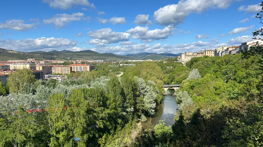
The sierra connects with the neighbouring Sierra de Andía, forming a natural corridor over 40 kilometres long and one of Navarre's main biodiversity axes. The Barranca valley towns of Alsasua, Etxarri-Aranatz and Arbizu, along with the Améscoa villages of Zudaire, Baquedano and Barindano, provide rural accommodation and local Navarrese cuisine: bone-in steak grilled over vine cuttings, smoked Idiazábal cheese, seasonal vegetable stew and homemade pacharán macerated with sloe berries gathered at the grassland edges. Pamplona lies 45 minutes away via the A-10, and Vitoria-Gasteiz and San Sebastián offer equally direct access, making the sierra a convenient weekend destination for those seeking forest, silence and a rhythm set by the seasons.