The essentials of Sierra de Aralar

  • • San Miguel de Aralar Sanctuary with a 12th-century Limoges enamelled altarpiece
  • • Upland pastures grazed by Latxa sheep whose milk yields Idiazábal cheese
  • • Over 300 catalogued sinkholes on one of Iberia's most speleologically dense massifs
  • • Dense Atlantic beech forests with white-backed woodpecker as a forest-maturity indicator
  • • Whit Monday pilgrimage with thousands climbing to the sanctuary from valley villages

Description

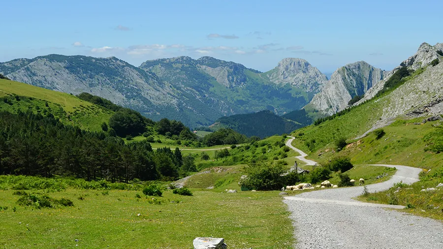
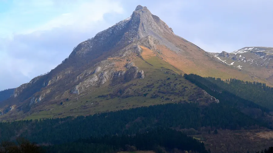
The Sierra de Aralar extends between Gipuzkoa and Navarra as a gently shaped limestone massif reaching 1,431 metres at its highest point, the summit of Irumugarrieta. Its undulating plateau profile, dotted with dolines, limestone pavements and sinkholes amid upland pastures, is the product of intense karst weathering on Upper Cretaceous limestone over millions of years. Rainfall here exceeds 1,500 millimetres annually, seeping through rock fissures to feed an underground system of rivers and chambers that includes over 300 catalogued sinkholes—making Aralar one of the most speleologically dense massifs in the Iberian Peninsula.

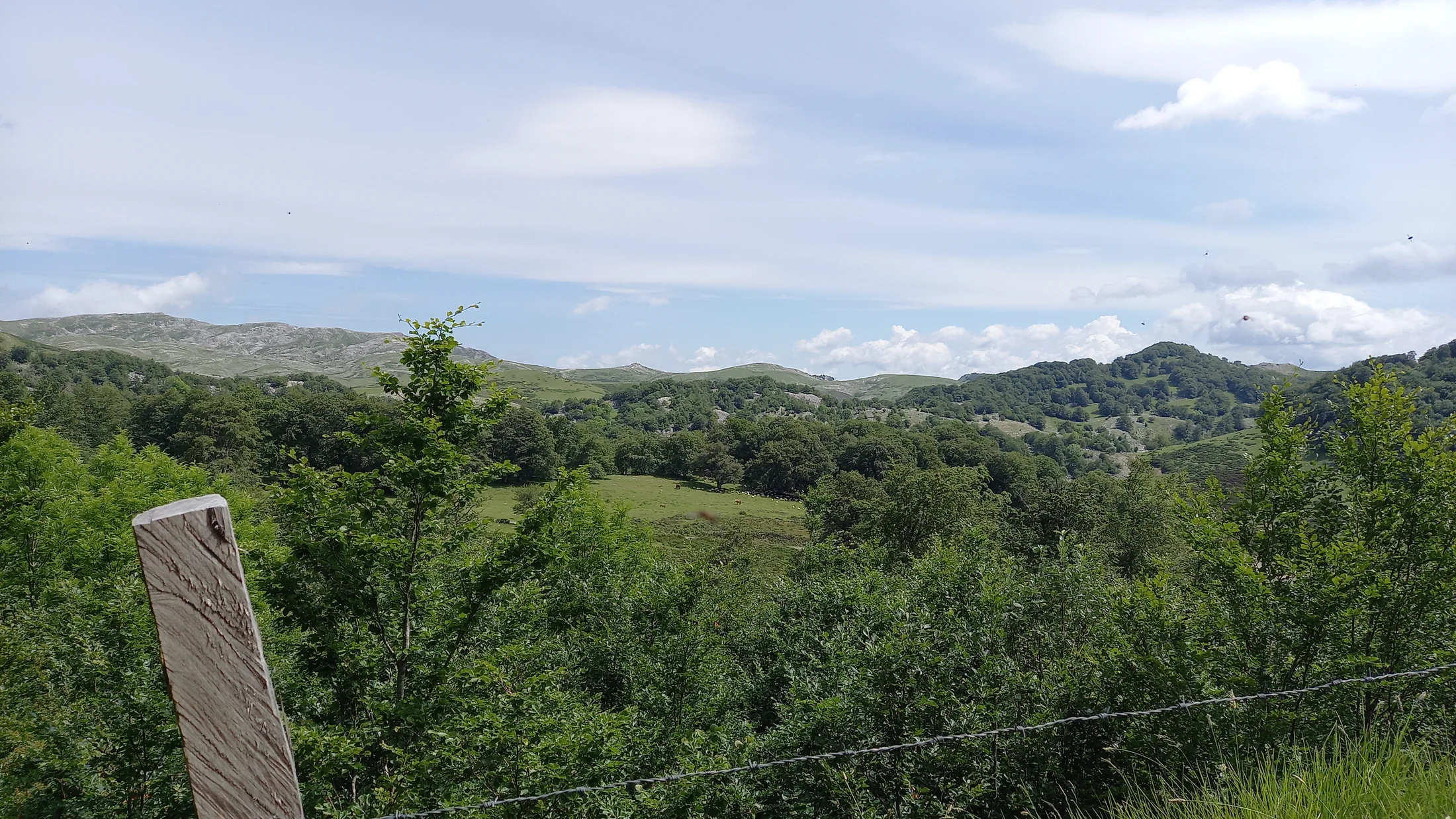
Aralar's vegetation divides into two clear bands. Below 1,000 metres, Atlantic beech forests (Fagus sylvatica) drape the north and west slopes in a dark-green mantle that erupts into copper and gold in autumn. These damp, dense beech woods shelter an understorey of ferns, mosses and shade-loving plants where light filters as if through stained glass. When wind passes through the crowns, the forest produces a continuous murmur that accompanies walkers for hours. Above 1,000 metres, mountain pastures spread across wide campas where Latxa sheep—the native black-faced breed whose milk yields Idiazábal cheese—graze freely. On the campas of Enirio-Aralar, flocks range over hundreds of hectares of green meadow set against grey limestone outcrops.

Aralar's fauna blends Atlantic and montane elements. Griffon vultures maintain several breeding colonies on the massif's limestone cliffs, with groups of up to 40 pairs at some crags. Egyptian vultures arrive in spring from Africa to nest on the sunniest rock faces. Inside the beech forest, the white-backed woodpecker—a species tied to mature beech woods with abundant deadwood—finds in Aralar one of its southernmost strongholds. Mammals such as roe deer, wild boar, European wildcat and pine marten are regular, and European mink sightings in streams on the Navarrese slope place the sierra within the range of one of Europe's most endangered carnivores.

The Sanctuary of San Miguel de Aralar, perched at 1,200 metres on a natural vantage point, is the sierra's symbolic and devotional centre. It dates in origin to the 9th century and was enlarged in the 11th and 12th centuries with sober Romanesque limestone architecture. Inside, it preserves a 12th-century Limoges enamelled altarpiece, one of the most valuable pieces of medieval metalwork in the Basque Country. Every Whit Monday, thousands of pilgrims climb from the valley villages to the sanctuary in a pilgrimage that blends religious devotion with popular festivity. The farmsteads dotting Aralar's lower slopes sustain a pastoral economy that has shaped the landscape for centuries: dry-stone walls mark off meadows, bordas (shepherd's huts) are scattered across the summer campas, and small artisan dairies in nearby hamlets make Idiazábal from raw milk using methods passed down through generations.

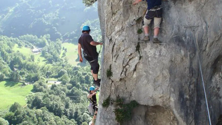
Hiking routes criss-cross the sierra, ranging from two-hour walks to full-day traverses. The climb to the sanctuary from Baraibar (Navarra) via the Artubi pass is the classic option: 8 kilometres with 600 metres of elevation gain through beech forest and upland pastures. The full east-west Aralar traverse (28 km) links Zaldibia (Gipuzkoa) with Uharte-Arakil (Navarra) in a long stage that reveals the massif's landscape variety. In winter, snow blankets the high campas and the sierra lends itself to snowshoe routes, though frequent fog demands navigation experience.

Practical information

Everything you need to know for your visit to Sierra de Aralar

How to get there
From San Sebastián (45 km), take the AP-1 to Tolosa and follow the GI-2135 to Zaldibia. From Pamplona (40 km), use the NA-120 to Uharte-Arakil and drive up the sanctuary road. Parking at Baraibar (Navarrese side) and Zaldibia (Gipuzkoan side). No public transport to the upper areas.
Area Information
San Miguel de Aralar Sanctuary as a landmark. Hostels and rural guesthouses in Baraibar, Zaldibia and Ataun. Artisan Idiazábal dairies in surrounding hamlets. No dining facilities in the upper area apart from the sanctuary.
Geography
Upper Cretaceous limestone massif between Gipuzkoa and Navarra. Maximum altitude 1,431 m (Irumugarrieta). Karst landforms including dolines, limestone pavements and 300+ sinkholes. Undulating plateau with grazing campas.
Flora & Fauna
Atlantic beech forests (Fagus sylvatica), mountain pastures, calcicolous cliff flora. Fauna: griffon vulture (colonies of up to 40 pairs), Egyptian vulture, white-backed woodpecker, roe deer, wild boar, wildcat, European mink (Navarrese slope).

Things to do

Find the best plans and things to do in Sierra de Aralar

20

Accommodations

Best accommodation options in Sierra de Aralar

Loading accommodation options...

Frequently Asked Questions

Get answers about Sierra de Aralar

There are two main routes. From the Navarrese side, the road from Baraibar (Larraun valley) climbs to a car park a few minutes from the sanctuary, though it may be closed by snow in winter. On foot, the classic route from Baraibar covers 8 kilometres with 600 metres of elevation gain, passing through beech forest before reaching the campas. From Gipuzkoa, a 10-kilometre trail ascends from Zaldibia.
Several artisan dairies in surrounding hamlets produce Idiazábal from raw Latxa sheep's milk. In Zaldibia, Ataun and villages in the Larraun valley there are outlets selling directly from the producer. Some shepherds on the Aralar campas sell cheese from their bordas during the summer months. The Idiazábal cheese fair in September brings together dozens of producers from the wider area.
Fog is frequent on the high campas of Aralar, especially in autumn and winter, and can seriously impair navigation. The karst terrain with dolines and sinkholes adds a real risk of disorientation if visibility is lost. A topographic map, compass or GPS is essential, and you should know the routes before setting out. If fog is dense, the safest course is to wait for it to lift or descend by the most direct path.
Yes, but caving in Aralar requires experience and proper equipment. The 300-plus catalogued sinkholes include chambers up to 400 metres deep that should only be explored by organised groups trained in vertical techniques. Caving clubs in the Basque Country and Navarra run regular trips. Entering any cavity without a guide or prior experience is strongly discouraged.
Every Whit Monday, thousands of people climb on foot from villages in the Larraun and Barranca valleys to the San Miguel de Aralar Sanctuary. The tradition combines religious devotion and popular festivity, with a solemn Mass, a procession of the Holy Angel around the sanctuary and an outdoor meal on the campas. Pilgrims ascend along different traditional paths, and the atmosphere mixes families, groups of friends and religious confraternities.