The essentials of Valle del Lozoya

  • • Camino Natural del Valle del Lozoya, 14 km riverside path with wooden boardwalks
  • • El Paular Monastery, a 1390 Carthusian house with a 30 m Gothic alabaster altarpiece
  • • Giner de los Ríos Arboretum displaying 200 tree species from three continents
  • • Over 100 black vulture breeding pairs and red deer rut from September to October
  • • Natural swimming at Riosequillo and El Plantío open from June to September

Description

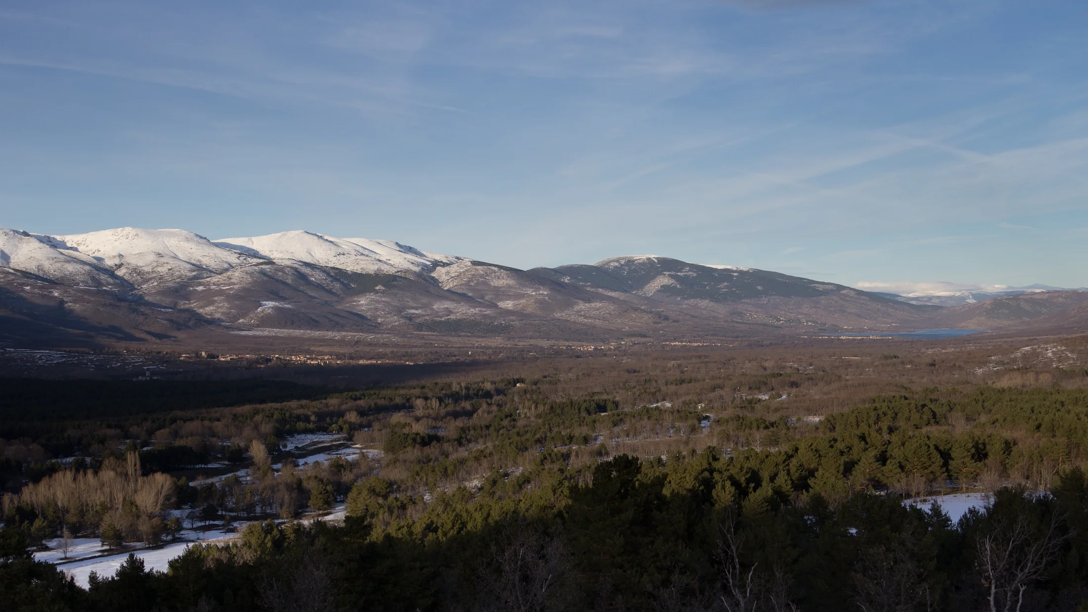
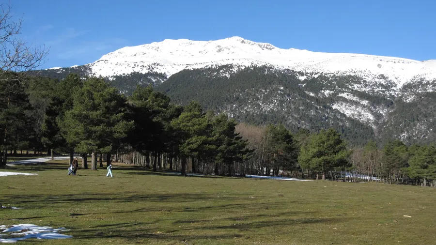
Valle del Lozoya stretches 40 km across the Sierra Norte of Madrid, framed by the Montes Carpetanos to the north and the Cuerda Larga ridge to the south. The Lozoya River, rising near Peñalara (2,428 m), runs through a corridor of beech groves, Pyrenean oak woodlands, riverside ash forests and Scots pine stands. The area belongs to the Sierra del Rincón Biosphere Reserve, designated by UNESCO in 2005, and the upper valley falls within the Sierra de Guadarrama National Park. Altitudes on the valley floor range from 900 to 2,000 m, keeping summers mild and bringing regular snowfall from December to March at higher elevations.

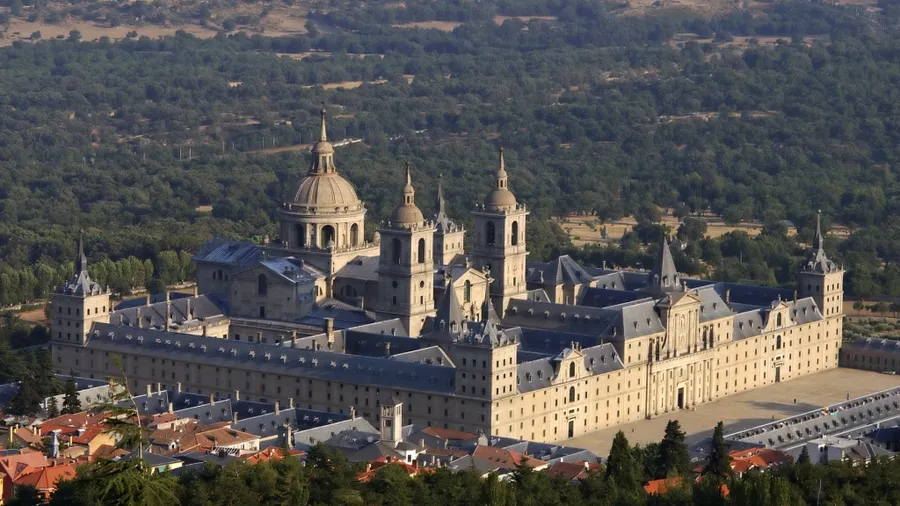
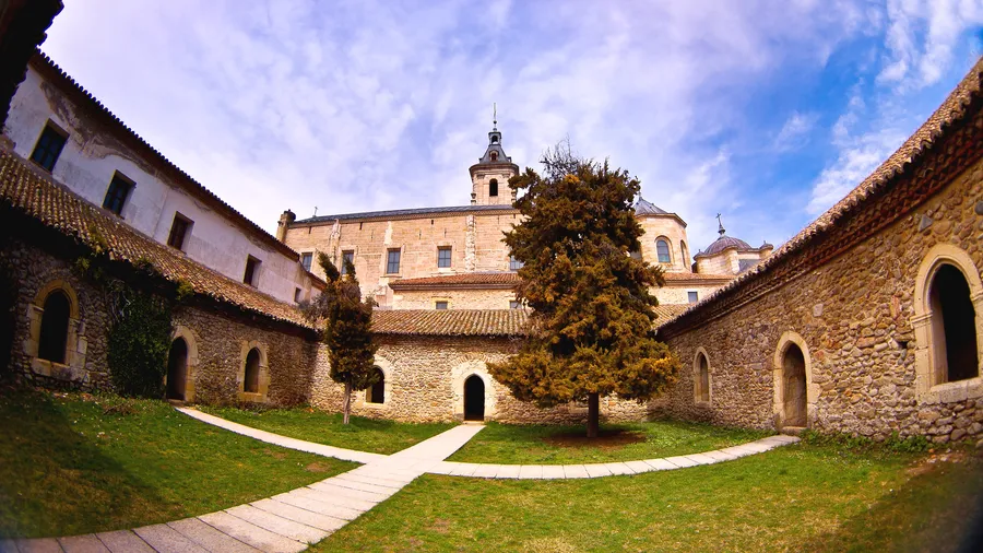
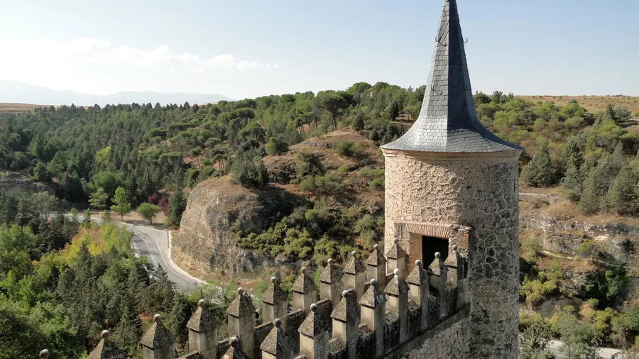
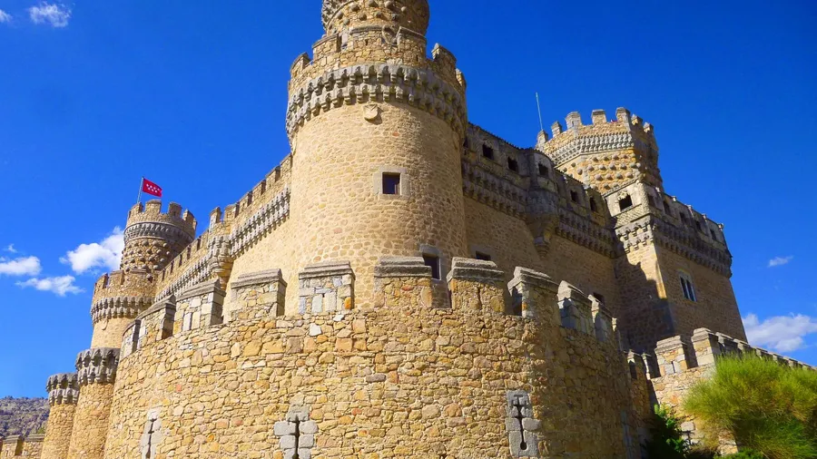
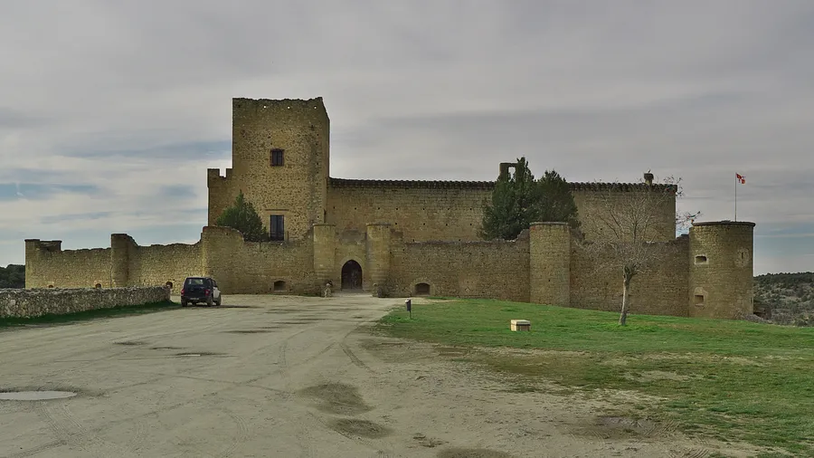
Three distinct sections define the valley. The upper stretch between Rascafría and Pinilla del Valle holds the densest forests and the Monastery of Santa María de El Paular, a Carthusian foundation from 1390 with a 30-metre Gothic alabaster altarpiece and Renaissance cloister. The Giner de los Ríos Arboretum, 2 km from Rascafría, displays 200 tree and shrub species from Europe, Asia and America along an interpretive trail. The middle valley opens into cattle meadows dotted with ash groves, and Buitrago del Lozoya preserves a complete 11th-century wall with a walkable battlement. The lower valley, towards El Atazar reservoir, reveals steeper terrain with narrow gorges and granite formations.

For families, the trail network includes low-difficulty options. The 14 km Camino Natural del Valle del Lozoya links Rascafría to Buitrago along the riverbank over boardwalks and wooden bridges, and works well in shorter sections. The Canencia ecological path (3 km) features waterfalls and adapted bridges. El Plantío and Riosequillo recreation areas offer natural swimming from June to September, with meadows for laying out towels under the ash trees. In the upper valley, the El Paular Environmental Education Centre runs children's activities and guided forest walks.

Wildlife includes black vulture — over 100 breeding pairs counted in the area — Spanish imperial eagle, red deer, roe deer, wild boar and otter along the upper river. In autumn, between mid-September and mid-October, the red deer rut echoes from the upper-valley viewpoints at dawn and dusk. The scent of rockrose and pine resin follows every trail when the sun warms the hillside. Villages such as Rascafría, Alameda del Valle, Canencia and Pinilla del Valle preserve granite-and-timber highland architecture, with rural lodgings, sierra-cuisine restaurants and small local-produce shops.

Practical information

Everything you need to know for your visit to Valle del Lozoya

How to get there
From Madrid, take the A-1 and M-604 to Rascafría (90 km, 1 h 15 min). Bus line 194 runs daily from Plaza de Castilla to Rascafría with stops in valley villages, more services at weekends. For the middle valley, exit the A-1 at Buitrago del Lozoya (75 km, 55 min). Free parking at main recreation areas.
Area Information
Valle de El Paular visitor centre in Rascafría with a permanent exhibition on the National Park. Rural lodgings in Rascafría, Alameda del Valle, Canencia and Pinilla del Valle. Restaurants serving highland cuisine (judiones de La Granja, local sierra meat). Marked trail network and recreation areas with picnic tables and drinking fountains.
Geography
40 km river valley running NE-SW between the Montes Carpetanos and the Cuerda Larga ridge. Altitude ranges from 900 m on the valley floor to 2,428 m at Peñalara. Paleozoic gneiss and granite bedrock with acidic soils supporting beech and oak forests on shaded slopes.
Flora & Fauna
Scots pine forests up to 1,800 m, relict beech groves on shaded slopes, Pyrenean oak woodlands and riverside ash forests. Black vulture (over 100 pairs), Spanish imperial eagle, red deer, roe deer, wild boar and otter in the Lozoya River. Apollo and Spanish moon moth inhabit the highland meadows.

Things to do

Find the best plans and things to do in Valle del Lozoya

20

Accommodations

Best accommodation options in Valle del Lozoya

Loading accommodation options...

Frequently Asked Questions

Get answers about Valle del Lozoya

Yes. Bus line 194 connects Plaza de Castilla with Rascafría, stopping at Buitrago del Lozoya and several valley villages. The journey takes between 1 hour and 1 hour 40 minutes depending on the stop. Buses run daily with more frequent services at weekends. For the upper valley, the C-9 commuter train to Cotos is another option.
The Camino Natural del Valle del Lozoya is flat and runs alongside the river for 14 km, but shorter sections work well from any village. The Giner de los Ríos Arboretum loop covers 2 km with interpretive panels designed for children. The Canencia ecological trail is 3 km long and includes waterfalls and bridges accessible with pushchairs.
No advance booking is needed for the Riosequillo and El Plantío swimming areas, but capacity is controlled in summer. Arriving before 11:00 on July and August weekends is recommended to secure parking. Access to the swimming areas is free and facilities include toilets.
The red deer rut runs from mid-September to mid-October. The best listening points are in the upper valley between Rascafría and Pinilla del Valle. Calls are clearest at dawn and dusk from the marked viewpoints. It is important to keep your distance and stay on designated trails.
Yes. The Monastery of Santa María de El Paular offers guided tours covering the Renaissance cloister, the church with its 30-metre Gothic alabaster altarpiece and the chapter house. Opening hours vary by season. The resident Benedictine community keeps the church open to the public outside religious services.