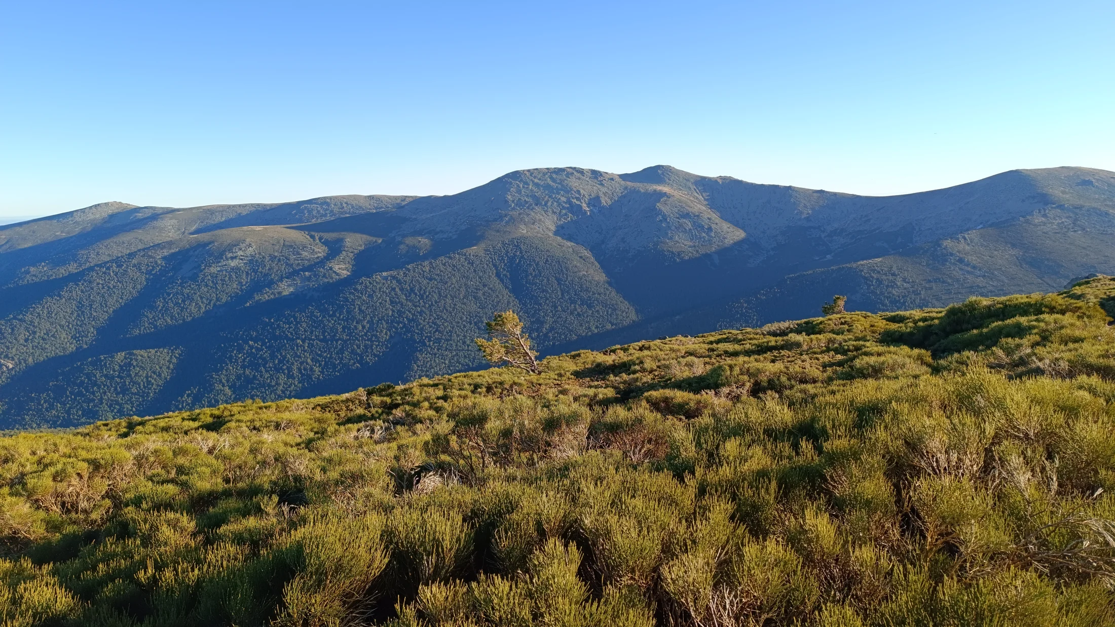
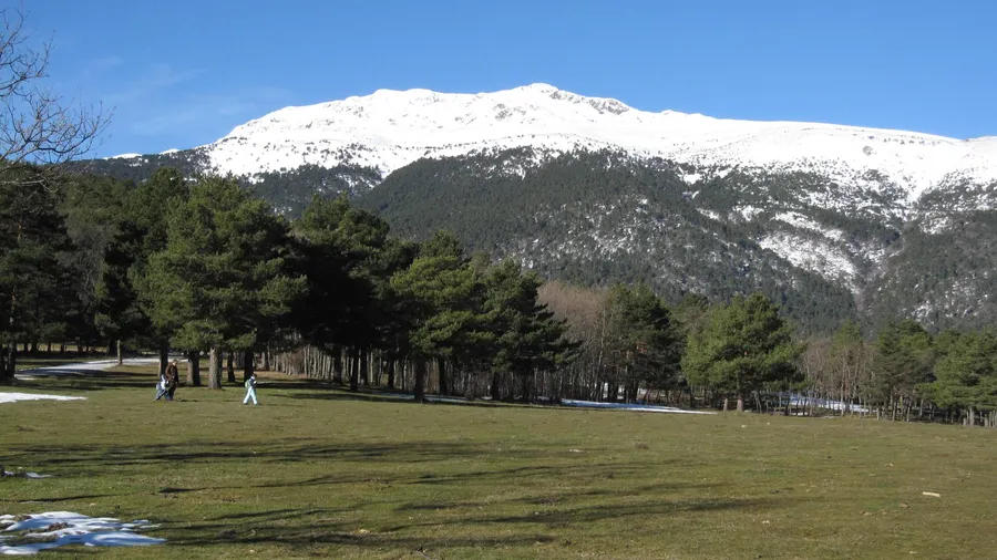
Sierra de Guadarrama rises as a granite and gneiss wall between the provinces of Madrid and Segovia, with summits exceeding 2,000 metres along 80 kilometres of ridgeline. Its highest point, Peñalara peak (2,428 m), crowns a glacial cirque where Laguna Grande reflects the bare rock walls around it. Declared a National Park in 2013, the range protects 33,960 hectares of high Mediterranean mountain ecosystems beginning just 50 kilometres from central Madrid.
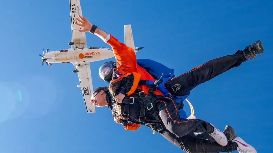
Granite relief defines the character of the sierra. In La Pedriza, south of the massif, a labyrinth of erosion-rounded boulders holds over 1,000 climbing routes among spires, towers and gullies. The walls of El Yelmo (1,717 m) offer routes at every grade, from beginner to 7th grade, and the sound of chalk on granite fills weekend mornings from first light. On the northern slope, the Valsaín pine forests cloak the hillsides with centuries-old Scots pine — the same woodland that supplied timber to the Royal Palace in the 18th century. Reddish trunks filter a light that in autumn paints the understorey in ochre and amber. Between both flanks, the Cuerda Larga ridge traverse covers 15 kilometres from Puerto de Navacerrada to Collado de la Najarra, one of the most accessible high-altitude routes on the Iberian Peninsula, with simultaneous views of the Castilian plateau and the Madrid skyline.
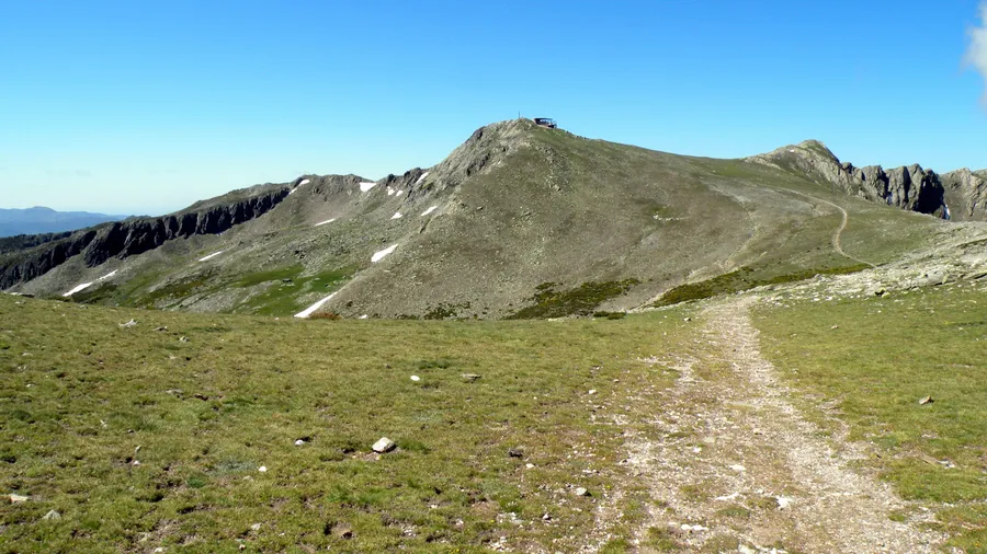
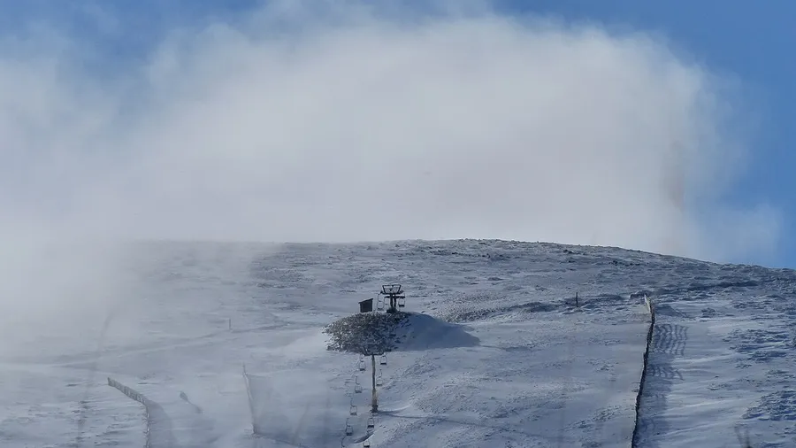
The trail network exceeds 300 kilometres of waymarked paths. From Cercedilla, classic routes include the Roman Road to Puerto de la Fuenfría (1,792 m) and the ascent of Siete Picos (2,138 m), both manageable in half a day. The Fuenfría Valley preserves remains of Roman road XXIV from the Antonine Itinerary, which once connected Titulcia to Segovia, and today freshwater springs punctuate the path every few hundred metres. The Zabala refuge at 2,100 m beneath Peñalara summit serves as a base for the full sierra traverse, offering 30 bunk beds with advance booking. In winter, Navacerrada and Valdesquí open alpine and cross-country ski runs when snow covers the pass from December through March, and snowshoe routes through the Lozoya Valley lead through silent forests blanketed in white.
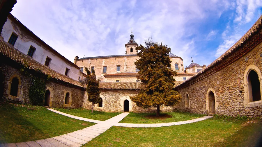
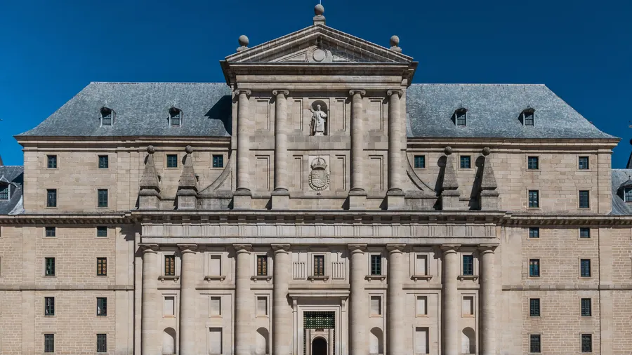
The Segovian slope holds quieter places worth seeking out. The Royal Site of La Granja de San Ildefonso, at the foot of the range, serves as a starting point for ascents of Montón de Trigo (2,154 m) and gives access to the Eresma river valley, where dense Pyrenean oak forests form a canopy over a fern-covered floor. Further east, the Montejo beech forest — one of the southernmost in Europe, with specimens over 250 years old — requires advance booking between September and December, when the foliage shifts from green to copper.
The sierra's fauna includes one of Europe's most important black vulture colonies, with over 100 breeding pairs in the Valsaín pinewoods. The Iberian ibex, reintroduced in the 1990s, now grazes on the scree slopes of Peñalara and the Cuerda Larga, and is often spotted at dawn in summer along the ridgelines. In the glacial lakes of the Peñalara massif the alpine newt survives as a relic species from the last ice age. The Spanish imperial eagle nests in the holm oak woodlands of the park's peripheral zone. A commuter train connects Madrid Atocha to Cercedilla in 65 minutes and to Puerto de Cotos in 90 minutes, making this the most accessible high-mountain wilderness reachable by public transport in Spain.