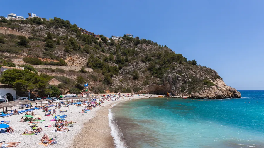
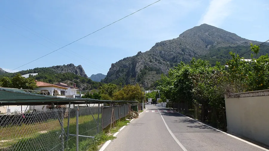
The Sierra de Bernia stretches for 11 kilometres between the municipalities of Benissa, Jalón, Alcalalí, Tàrbena and Altea in Alicante's Marina Alta district. Its limestone ridge reaches 1,129 metres at the Peñón de Bernia, commanding a panorama that takes in the coast from Calpe to Benidorm, the island of Ibiza on clear days and, inland, the peaks of Puig Campana and Sierra de Aitana. The mountain acts as a natural barrier between the shoreline and the interior valleys, creating a microclimate where shaded Mediterranean vegetation coexists with heat-loving scrub on the south face, where warm sea air rises and dries the bare limestone.
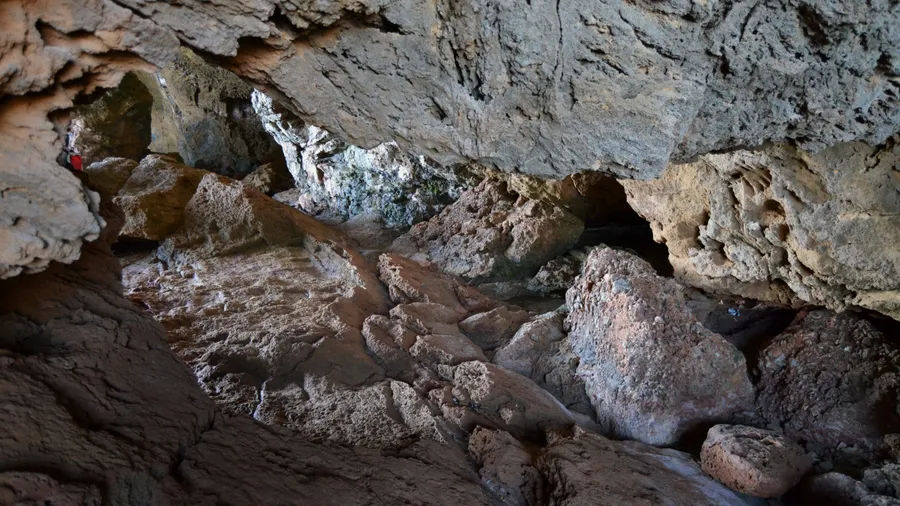
The Bernia circular trail is the area's best-known route. The full loop covers about 11 kilometres with 500 metres of cumulative elevation gain and takes between 4 and 5 hours. The usual starting point is the Font de Bernia recreation area, reached by a track from the Callosa–Tàrbena road. The route passes through the Forat de Bernia, a natural tunnel roughly 20 metres long carved through the rock that connects the north and south faces. Crossing it requires crouching and some use of hands: it is not technical, but can be awkward for those prone to claustrophobia or carrying large packs. From the ridge, the Mediterranean appears as a flat blue sheet stretching to the horizon.
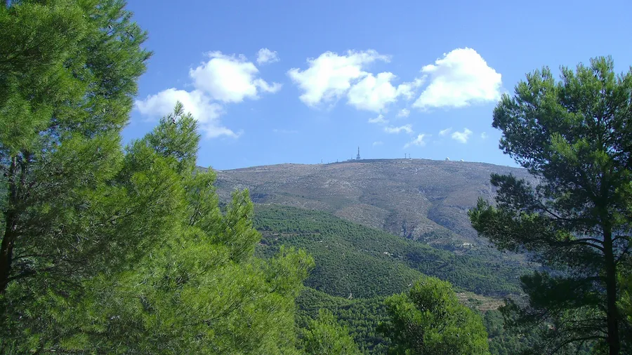
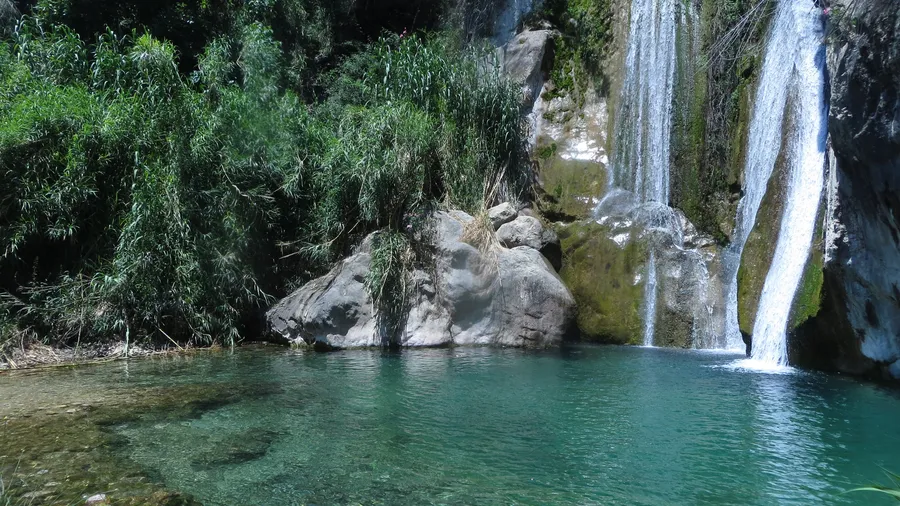
The north face of Bernia retains a forest of Aleppo pine mixed with holm oak, strawberry tree and dwarf fan palm. Moist ravines shelter ivy, fern and rupestral plants clinging to cracks in the limestone. The drier, more exposed south face is dominated by rosemary, thyme and gorse, and the stony ground reflects the sun's heat even in winter. Wildlife includes Bonelli's eagle — one of Europe's most threatened raptors, with confirmed breeding pairs on Bernia's cliffs — eagle owl, genet and wild boar. Long-tailed lizards are visible on virtually every section of the trail.
On the south slope stand the remains of the Fort of Bernia, a 16th-century fortification built by Philip II to guard against Barbary Coast landings. Stretches of wall, a cistern and the bases of several towers survive. The visit is open access and fits naturally into the circular route. Lower down, the terraced almond and cherry orchards still worked by farmers from Tàrbena and Alcalalí are a reminder that this sierra is more than mountain scenery: the local economy blends tourism with traditional agriculture producing honey, olive oil and the Pop Valley cherry.
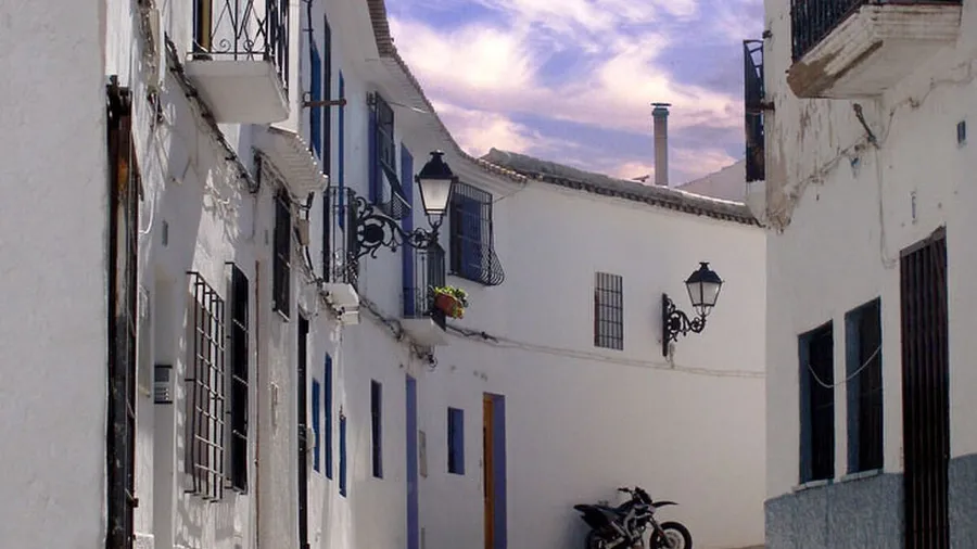
The most convenient base is Benissa or Altea, both less than 20 minutes by car from the trailhead. Benissa has an old quarter with restaurants, supermarkets and varied accommodation. Altea, on the coast, offers more hospitality options and a direct link to the AP-7 motorway. There are no refuges or reliable water sources on the mountain, so carrying enough water is essential, especially in the warmer months.