Natural Park of Sierra de Tejeda, Almijara and Alhama
The essentials of Natural Park of Sierra de Tejeda, Almijara and Alhama
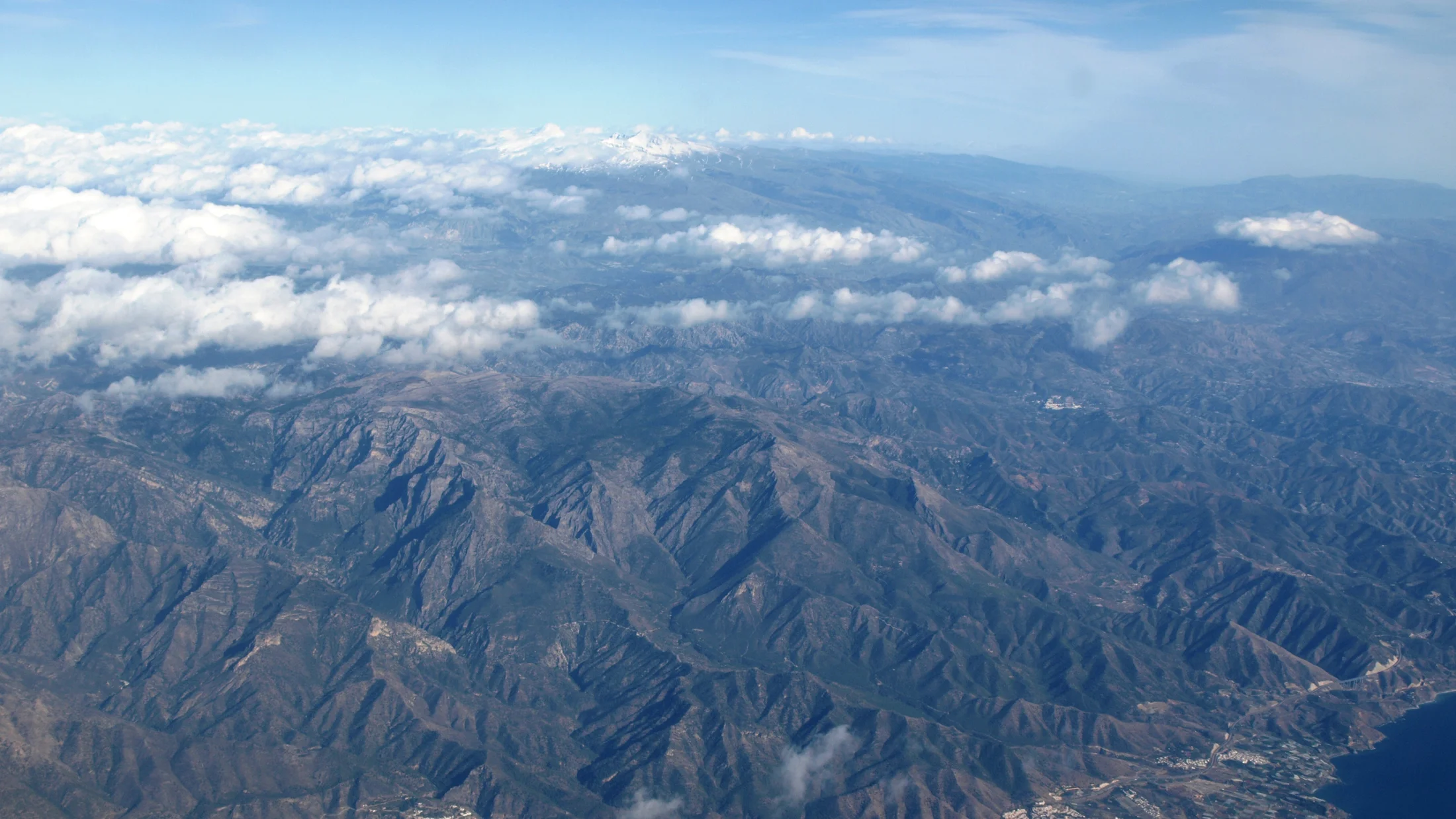
- • La Maroma ascent (2,066 m), Málaga's highest point with views to the sea and Sierra Nevada
- • Chillar river aquatic route through pools and calcareous tufa, 14 km return
- • Over 3,000 Spanish ibex across mid- and high-mountain crags throughout the massif
- • White dolomitic marble karst with visitable sinkholes and cave systems
- • Axarquía villages like Frigiliana and Cómpeta with Moorish architecture and Muscat wine
Description
Practical information for Natural Park of Sierra de Tejeda, Almijara and Alhama
Everything you need to know for your visit to Natural Park of Sierra de Tejeda, Almijara and Alhama
How to get there
How to get there
From Málaga, take the A-7 to Nerja (50 km, 40 min) and access via the Chillar river track or the road to Frigiliana. From Granada, follow the A-44 and A-402 to Alhama de Granada (55 km, 50 min). Access to La Maroma is from Canillas de Aceituno or Alcaucín along signposted forest tracks.
Area Information
Park office in Sedella. Information centres in Nerja and Alhama de Granada. Marked trails at various difficulty levels. Rural accommodation in Frigiliana, Cómpeta, Canillas de Aceituno and Alhama de Granada. Hotels and full services in Nerja.
Geography
40,662 ha limestone massif between Málaga and Granada. Triassic dolomitic marbles. Elevation from sea level to 2,066 m (La Maroma). Karst with sinkholes, poljes and vertical-walled ravines. Coast-to-summit gradient of 15 km.
Flora & Fauna
Spanish ibex (over 3,000 individuals). Bonelli's eagle, golden eagle, Eurasian eagle-owl and trumpeter finch. Dwarf fan palm, carob and maritime pine on lower slopes. Portuguese oak and broom at mid-elevations. Sierra Nevada violet on scree. Over 120 butterfly species.
Accommodations in Natural Park of Sierra de Tejeda, Almijara and Alhama
Best accommodation options in Natural Park of Sierra de Tejeda, Almijara and Alhama
Frequently asked questions about Natural Park of Sierra de Tejeda, Almijara and Alhama
Get answers about Natural Park of Sierra de Tejeda, Almijara and Alhama
How do you hike the Chillar river route and what gear is needed?
The Chillar river route starts from Nerja village, at the car park by the river bridge. It covers about 7 km one way (14 km return) walking along the riverbed, where water in summer rarely rises above ankle level. Water shoes with good grip are essential, along with plenty of drinking water and sun protection. There is no shade on the first section. The route is not safe when the river runs high (autumn-winter).
How long does it take to climb La Maroma from Canillas de Aceituno?
The ascent from Canillas de Aceituno is the most direct route to La Maroma (2,066 m). It starts at the Saltillo recreation area and involves roughly 1,400 metres of elevation gain. Allow 4 to 5 hours up and 3 hours down, depending on pace. It is a demanding route due to the gradient and sun exposure, so an early start is advisable in warm months.
Where is the easiest place to spot Spanish ibex?
Spanish ibex are visible throughout the massif, but the easiest sightings occur on the crags between 1,000 and 1,800 metres, especially on Almijara's northern slopes. Early morning and late afternoon are peak activity times. In November and December, during the rut, males are more visible and less skittish.
Are there access restrictions in the park during summer?
Yes, during the highest fire-risk months (June to September), the Junta de Andalucía may restrict or close access to certain park zones, including hiking trails. Restrictions are published daily according to the risk level. Checking the park website or calling the Sedella office before planning a summer route is recommended.
Can you combine a park visit with a beach day?
Yes, the sierra's proximity to the coast is one of its advantages. From Nerja you can hike the Chillar route in the morning and be at Maro beach by the afternoon. The La Maroma ascent from the southern slopes allows a return to Nerja on the same day. Frigiliana is 6 km from the coast and Cómpeta 15 km, so combining mountain and beach is standard practice here.