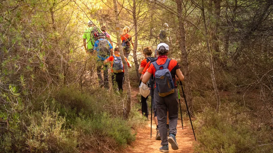
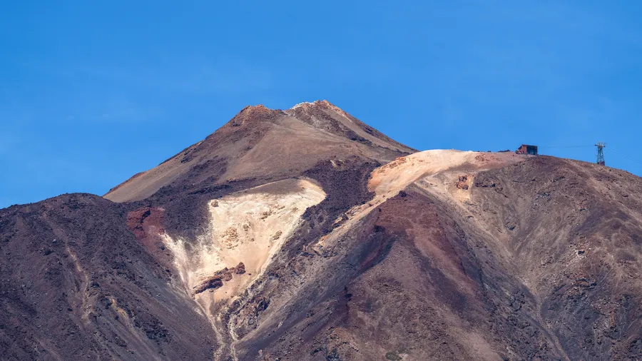
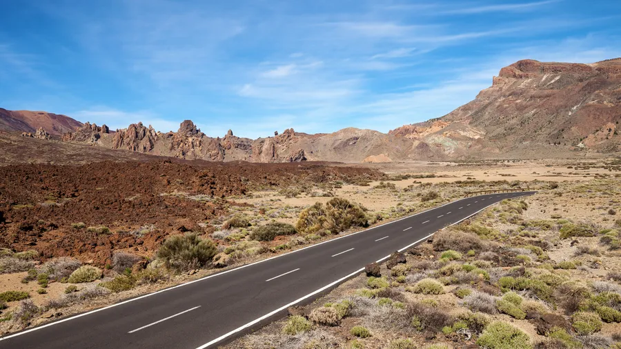
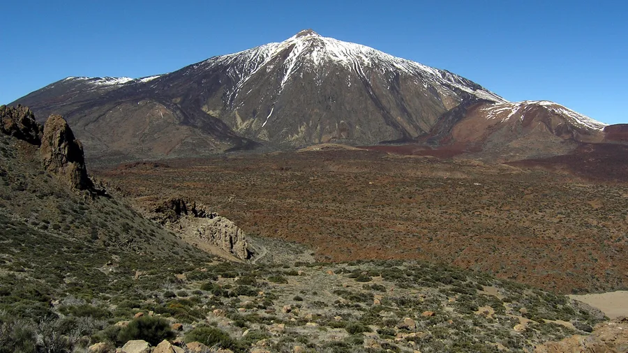
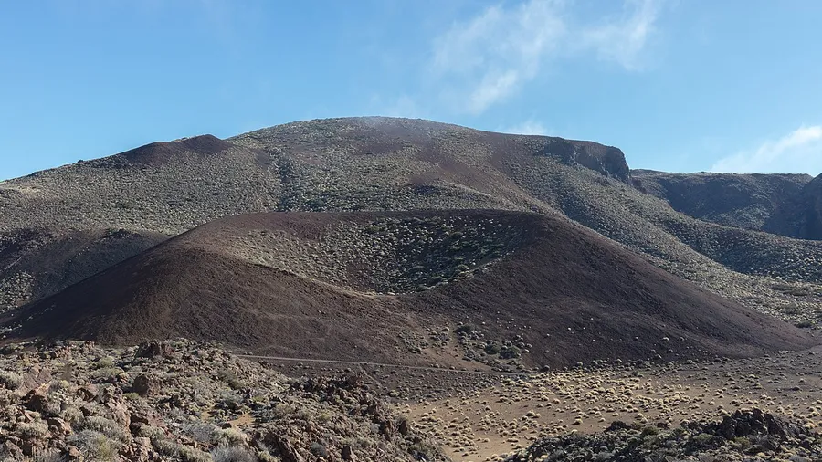
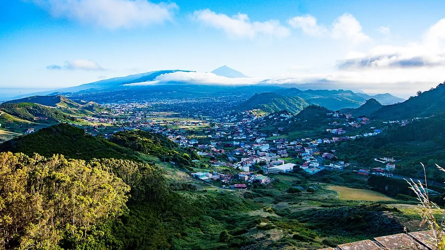
La Orotava stretches from Tenerife's north coast up to the summits of Teide National Park, covering an altitudinal range of almost 3,700 m that includes laurel forest zones, Canarian pine forests and the volcanic landscape of Las Cañadas. This ecosystem diversity translates into a wide range of hiking: from routes through dragon trees and vineyards in the valley to high-altitude trails circling the Teide crater.
MTB riders find some of the Canary Islands' most demanding routes on the Teide fore...
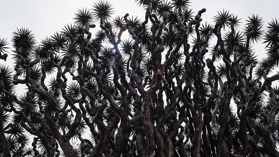
La Orotava stretches from Tenerife's north coast up to the summits of Teide National Park, covering an altitudinal range of almost 3,700 m that includes laurel forest zones, Canarian pine forests and the volcanic landscape of Las Cañadas. This ecosystem diversity translates into a wide range of hiking: from routes through dragon trees and vineyards in the valley to high-altitude trails circling the Teide crater.
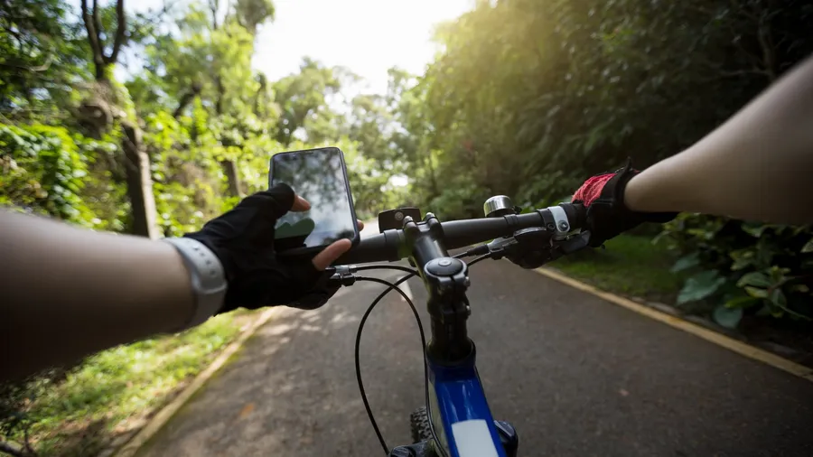
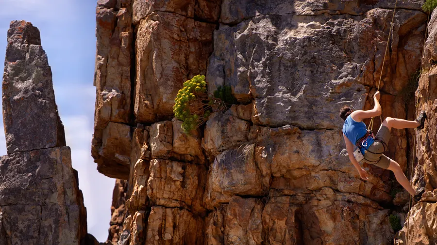
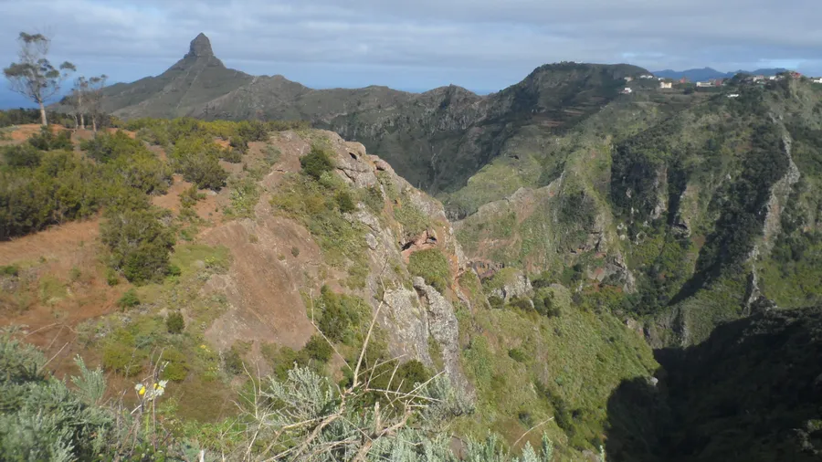
MTB riders find some of the Canary Islands' most demanding routes on the Teide forest tracks and descents from the summit towards the northern valley. The laurel forest, a UNESCO World Heritage Site, is explored on foot along paths connecting laurel woodlands to north-facing viewpoints. The Izaña astronomical observatories, accessible from La Orotava, add a unique after-dark dimension. Paragliding takes advantage of thermals created by the volcanic relief for tandem flights with views across the Atlantic and the island.
Highlights
• Hiking through the UNESCO laurel forest in northern Tenerife
• Direct access to Teide National Park and its high-altitude trail network
• Demanding MTB on Teide forest tracks with descents to the northern valley
• Paragliding on volcanic thermals with panoramic views over the Atlantic
Best time to visit
La Orotava has a pleasant climate year-round, but spring offers the greenest laurel forests and pine woodlands before summer heat sets in.
Practical tips
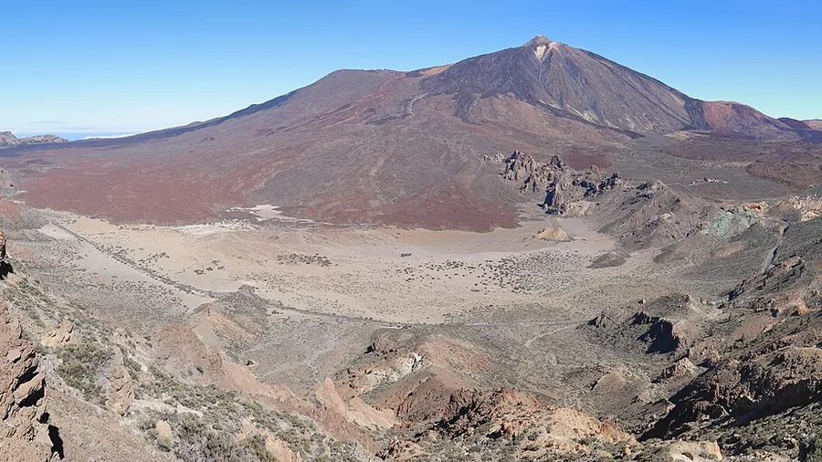
Teide National Park can be foggy in the mornings in winter; plan summit routes for mid-morning when it typically clears.
Are the laurel forest hiking trails in La Orotava difficult?
Most are accessible to hikers with basic fitness. Trails are well signposted through forested terrain with moderate elevation. Bring a warm layer, as the laurel forest is cool and humid.
Can I mountain bike in Teide National Park?
Cycling within the National Park is restricted to designated tracks. The most popular MTB routes run along the park's boundaries and forest roads outside the protected area, with outstanding descents towards the north coast.
Where do tandem paragliding flights launch near La Orotava?
The most active launch sites are at El Amparo and Benijos on the northern slopes of Teide. Operators organise transfers from La Orotava and run tandem flights requiring no prior experience.