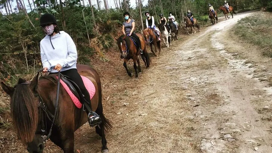
Light Aircraft Flight with Pilot Training at Finisterre, A Coruña
Ultralight Aircraft
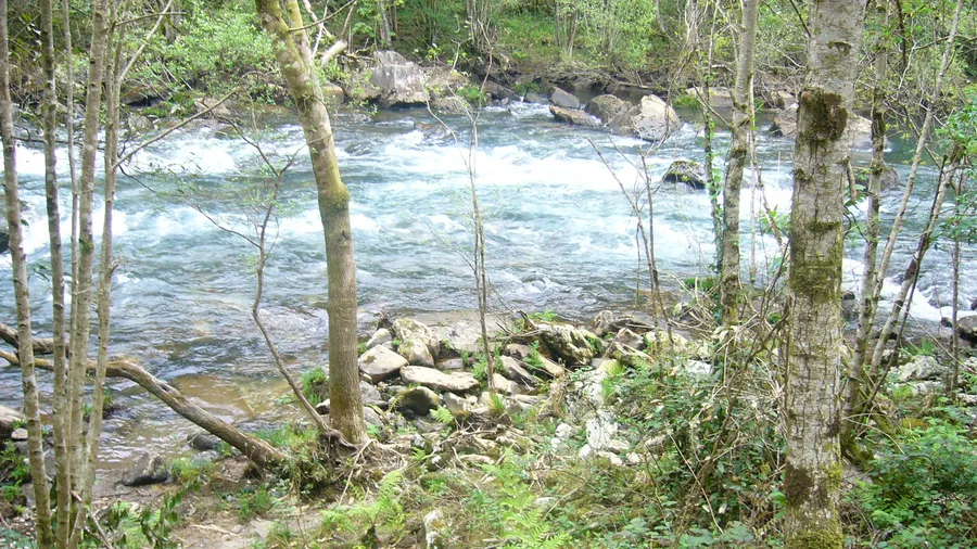
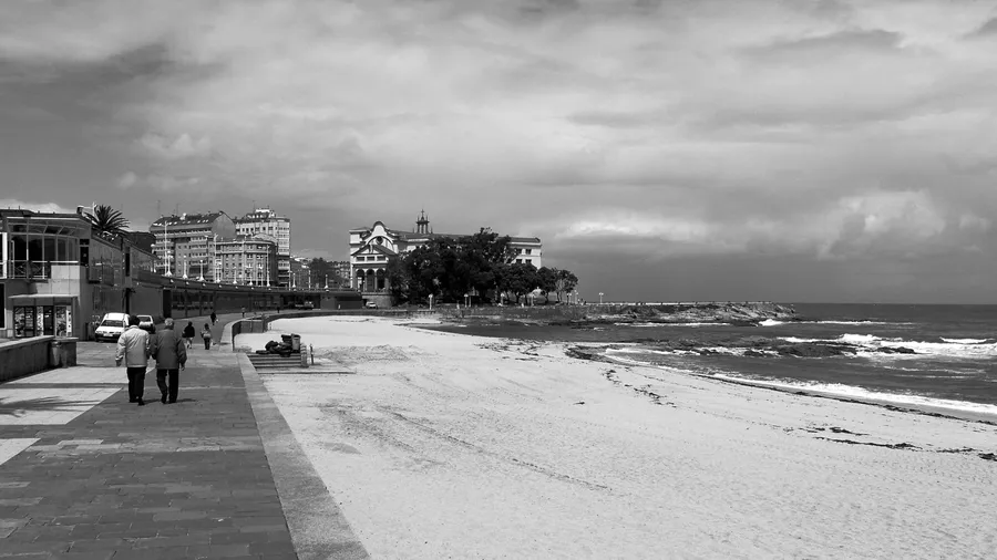
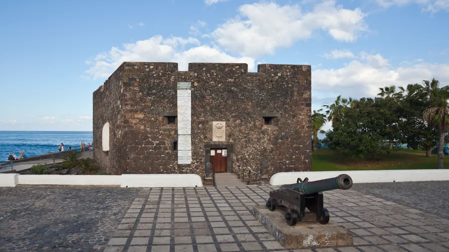
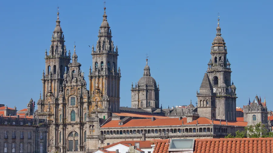
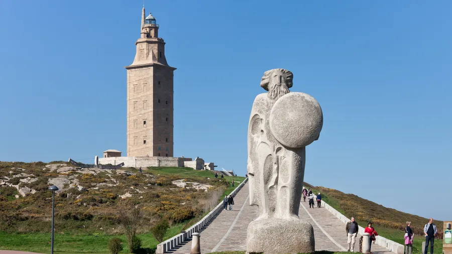
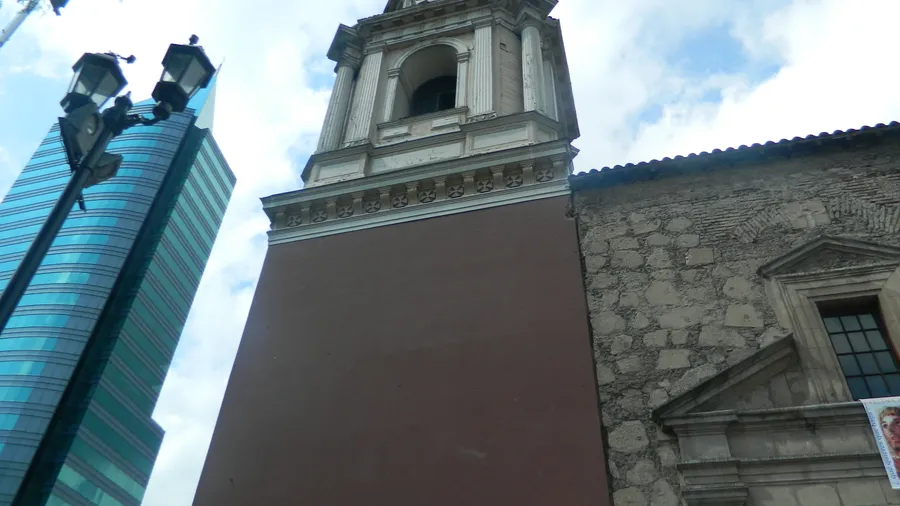
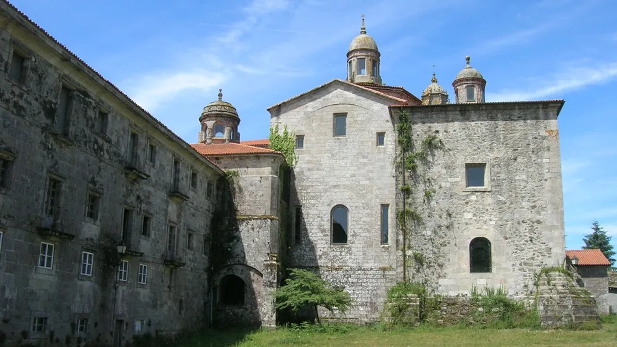
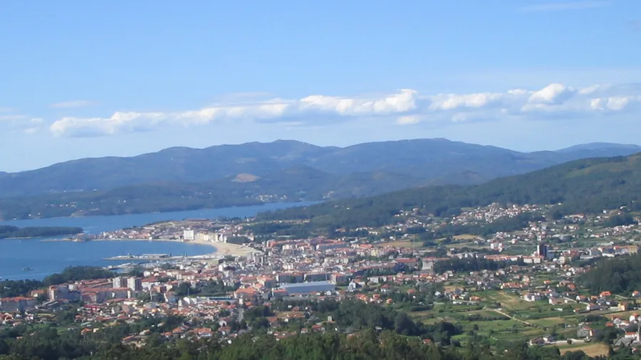
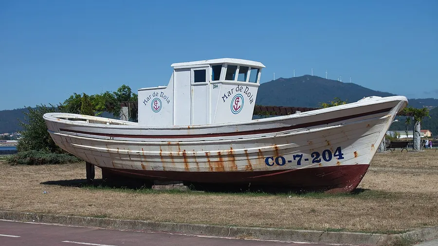
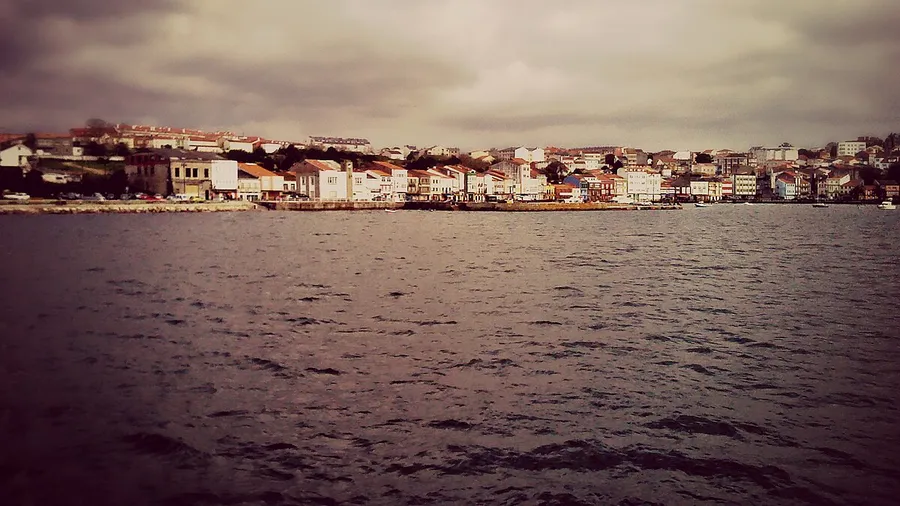
A Coruña
Desde
€265.00
Plans, activities and things to see in A Coruña
A Coruña
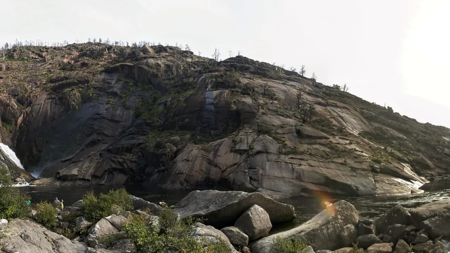
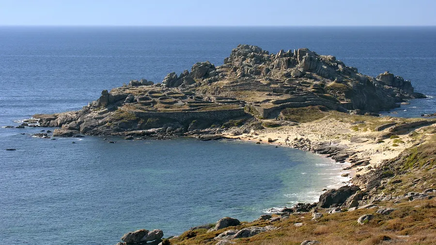
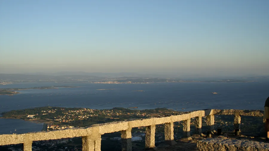
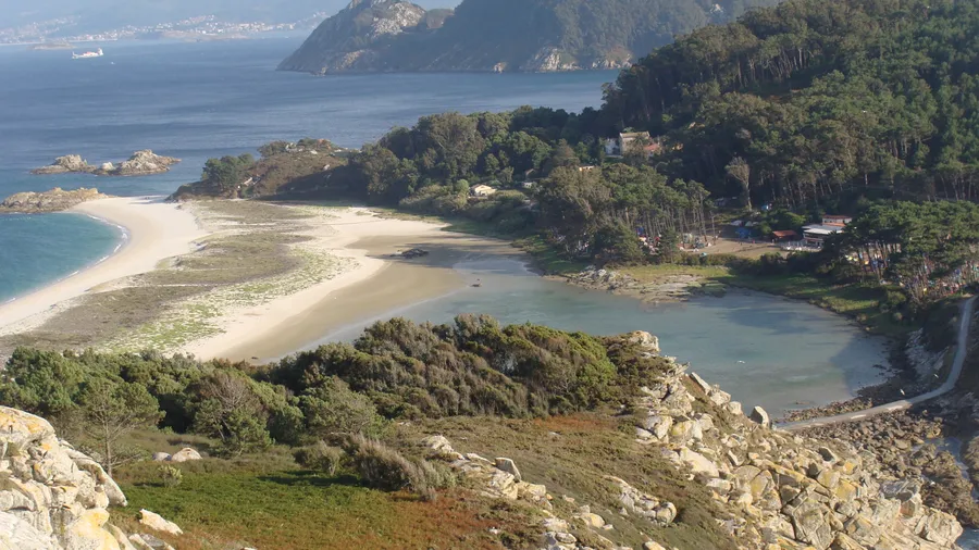
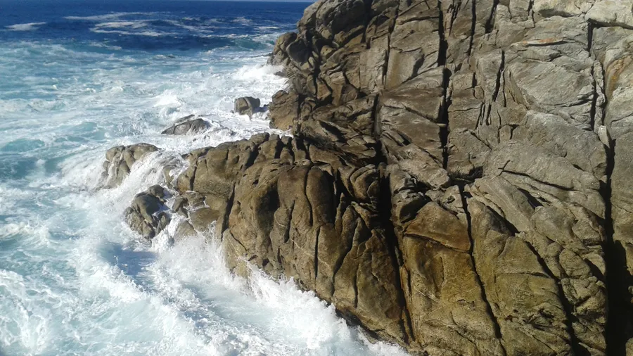
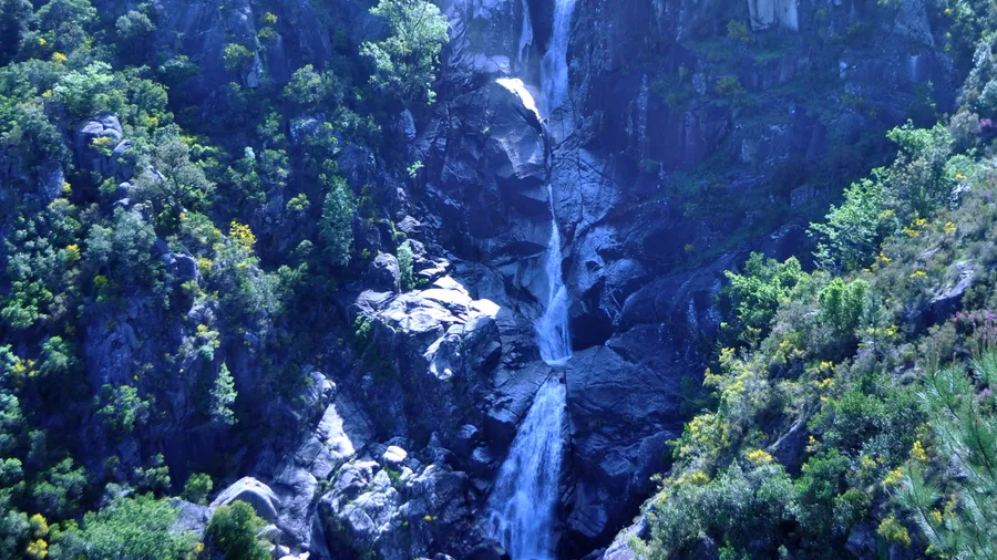
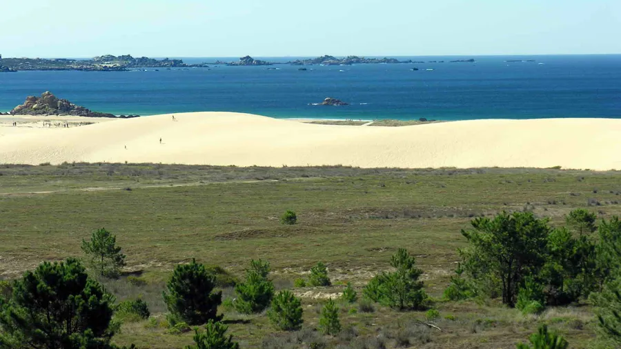
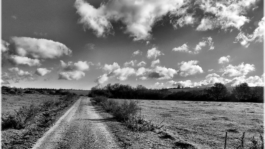
Surf: September-April (most consistent swells). Camiño dos Faros: April-June and September-October (less persistent rain). Kayaking and Sálvora trips: May-September. Winter: low tide on the Costa da Morte for shellfish gathering and uncrowded walks.
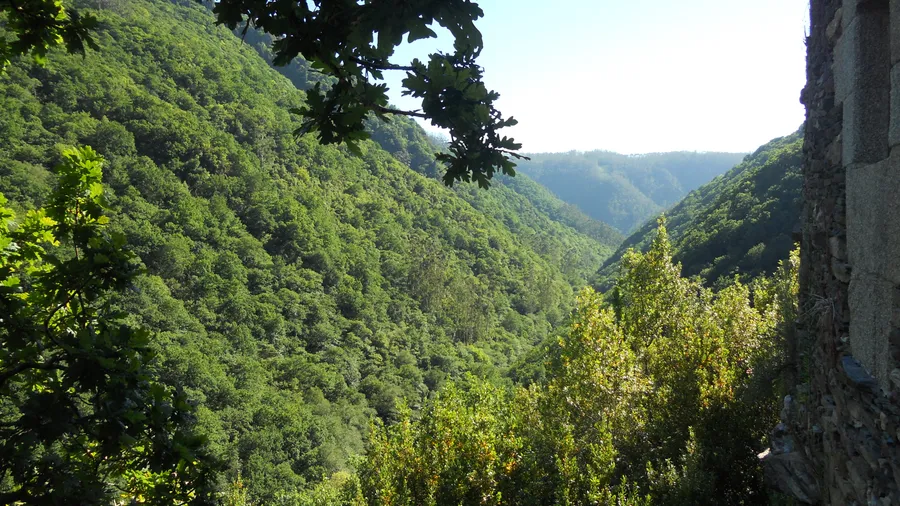
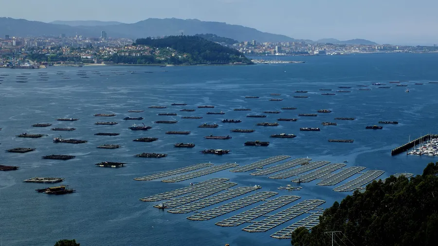
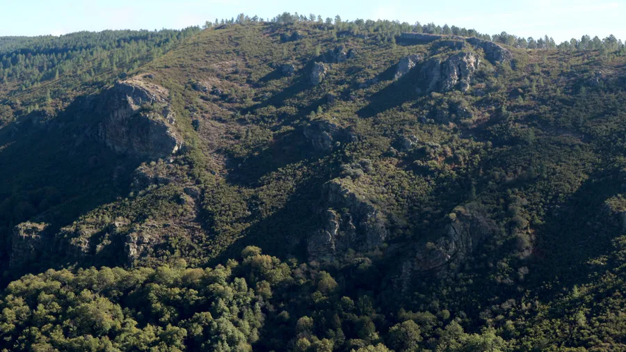
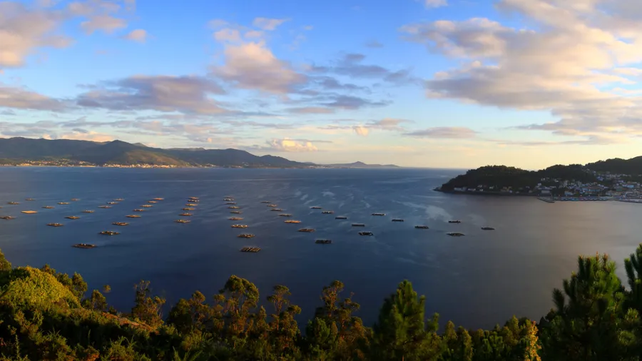
The GR-0 Camiño dos Faros has no dedicated shelters: stay in villages along the route and check the official stage map before setting out. For surf at Pantín, park on the northern forest road to avoid August chaos. Monte Pindo has sparse signage; download the route to your phone. In the Ría de Muros e Noia, Tuesdays and Thursdays see less mussel farm traffic and calmer kayaking.
Las mejores experiencias y planes disponibles en A Coruña
Rincones, lugares y puntos de interés que no te puedes perder
Zonas y destinos turísticos en A Coruña
Descubre qué hacer en cada localidad de A Coruña

 0
0 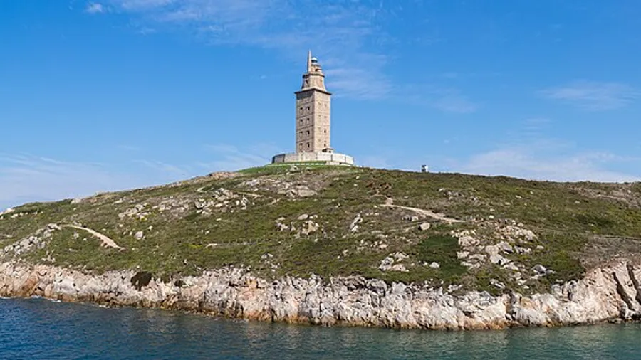 0
0 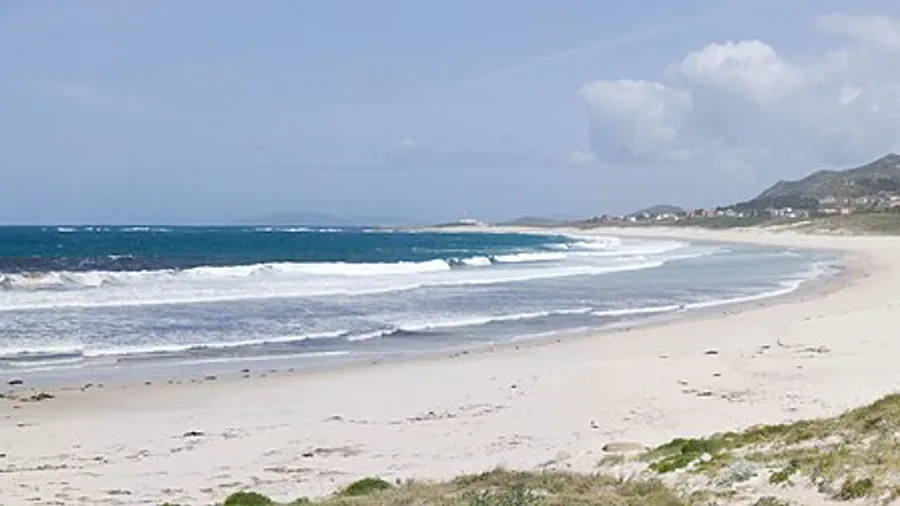 0
0  0
0  0
0  0
0