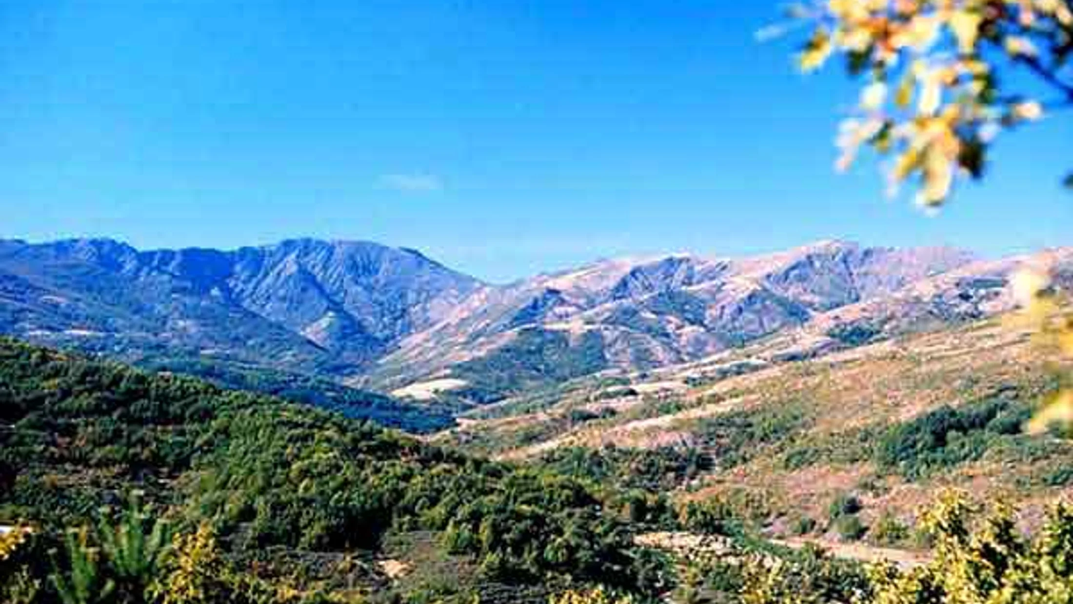
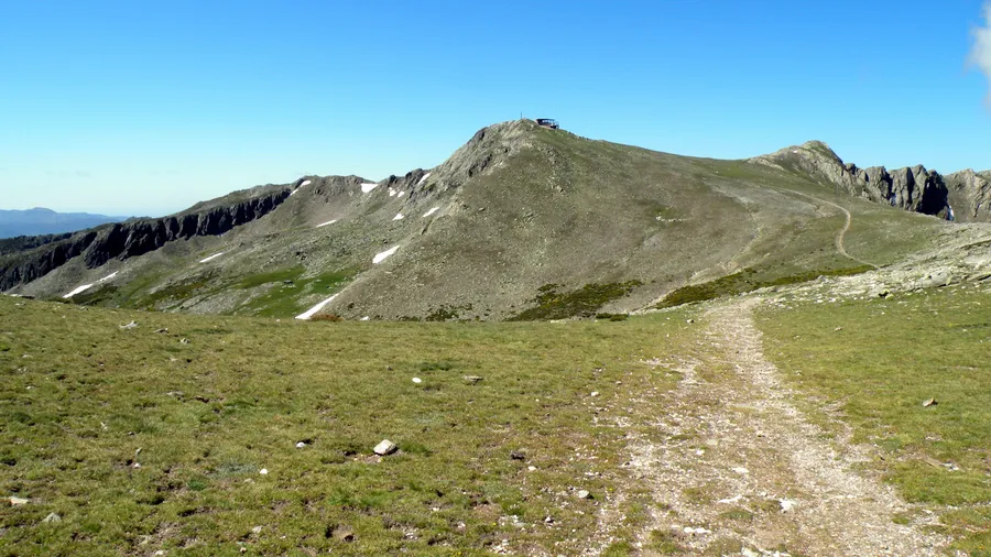
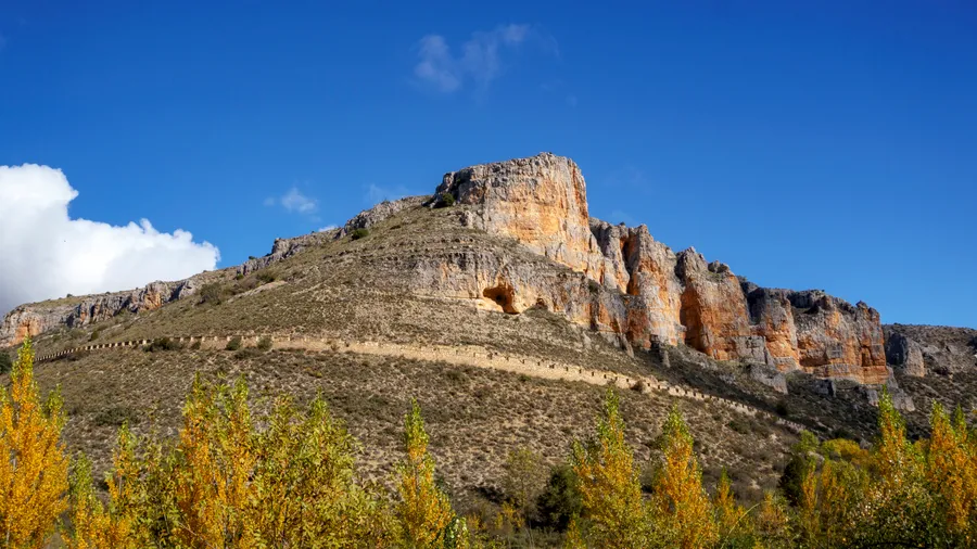
The Sierra de Ayllón extends across the northeastern edge of Guadalajara province, reaching into Segovia and Madrid as a mountain massif that tops out at 2,273 metres on Pico del Lobo. Its slopes, carved by Quaternary glaciation, hold cirques and glacial lagoons—such as Lagunas de los Pájaros and Peñalara Chica—that reveal an intense geological past. The bedrock of Palaeozoic gneiss, quartzite and slate surfaces in sharp ridges and scree fields, contrasting with valley floors carpeted in oak and beech woodland. The rivers Lillas, Jarama and Sorbe rise on these summits and descend through narrow gorges where bare rock alternates with riparian woodland of alders and willows.
The beech forests of Tejera Negra, inscribed as a UNESCO World Heritage Site in 2017 within Europe's primeval beech forest network, rank among the continent's southernmost beech (Fagus sylvatica) stands. In autumn the canopy turns amber and copper while the ground crackles underfoot with fallen leaves carrying the scent of damp earth and wood. Alongside the beeches grow Pyrenean oaks (Quercus pyrenaica), hollies, centuries-old yews and birches colonising the dampest gullies. In spring, high-altitude meadows above 1,800 metres are dotted with narcissus and gentians, and snowmelt feeds ephemeral waterfalls that vanish with the first warmth of June. The forest cover exceeds 400 hectares around Tejera Negra alone, supplemented by the stands at Montejo de la Sierra and on the Segovian slope.
The fauna reflects a biogeographic crossroads between the Castilian plateau and the Central System. Roe deer graze at dawn in forest clearings; wild boar root through leaf litter for acorns and tubers. Golden eagles and griffon vultures patrol the rocky cliffs above the Río Lillas, where peregrine falcons and Egyptian vultures also nest on the most inaccessible ledges. In headwater streams, brown trout sustain stable populations thanks to water that rarely exceeds 12 °C in summer. The Iberian wolf, though elusive, has been recorded in the remotest sectors of the massif in recent censuses, and otters have recolonised stretches of the Río Jarama as pollution has declined over the past two decades. On summer nights, European nightjars sing from the heather scrub at mid-slope.
The "pueblos de arquitectura negra"—Majaelrayo, Campillejo, Roblelacasa, El Espinar and Campillo de Ranas—owe their name to the local slate used as building material. Houses, walls, churches and even roofing slabs share a dark tone that blends into the surrounding landscape. These hamlets, nearly abandoned in the 1970s when census figures dropped to just 10 or 15 residents, have slowly recovered through nature tourism and traditional-housing rehabilitation programmes. Today you can follow waymarked trails linking them in stages of 8 to 15 kilometres, with moderate elevation gains of 300 to 600 metres, passing drinking-water fountains and old stone mills dotted along the watercourses.
The pastoral tradition endures in the small-scale transhumance still practised between the valleys and upland pastures. During June, herds of Avileña cattle climb to the high meadows along drove roads that have been in use for centuries. Heather honey, produced in hives scattered across the hillside scrub, is one of the most prized local foods, alongside game meat and the wild mushrooms that sprout in the oak woods after autumn rains. At weekends, the villages host small artisan markets selling cheeses, cured meats and hand-carved slate crafts.