The essentials of Serra Gelada Natural Park

  • • Cliffs up to 438 m above the Mediterranean with views over Benidorm Bay
  • • Posidonia oceanica meadows and red gorgonians in the 2,400-ha marine park
  • • 9 km coastal path from La Cala de Finestrat to the Albir Lighthouse
  • • Snorkelling and diving with up to 20 m visibility on calm days
  • • Protected natural area less than 4 km from central Benidorm

Description

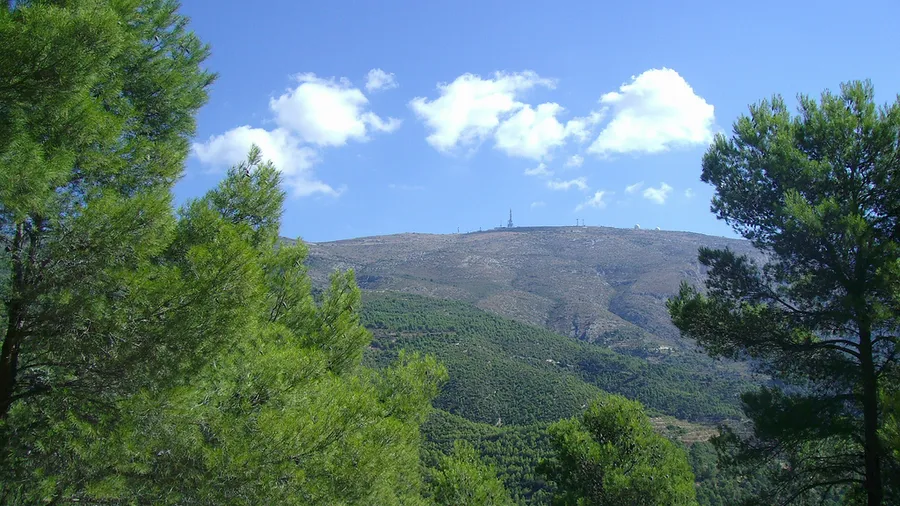
Parque Natural de la Serra Gelada occupies a narrow 5,400-hectare peninsula between Benidorm and l'Albir on the Alicante coast. The ridge itself reaches only 438 m at the Pic de la Serra Gelada, but its cliffs drop vertically into the Mediterranean — which has earned them the nickname 'the Alps of the Mediterranean' among local sailors. From the water, the silhouette of red conglomerate and grey marl against blue sea shifts in colour through the day: orange at dawn, ochre at midday, violet at dusk. The name 'Gelada' — frozen in Catalan — does not refer to the climate but traces to the Arabic root 'yabal', meaning mountain.

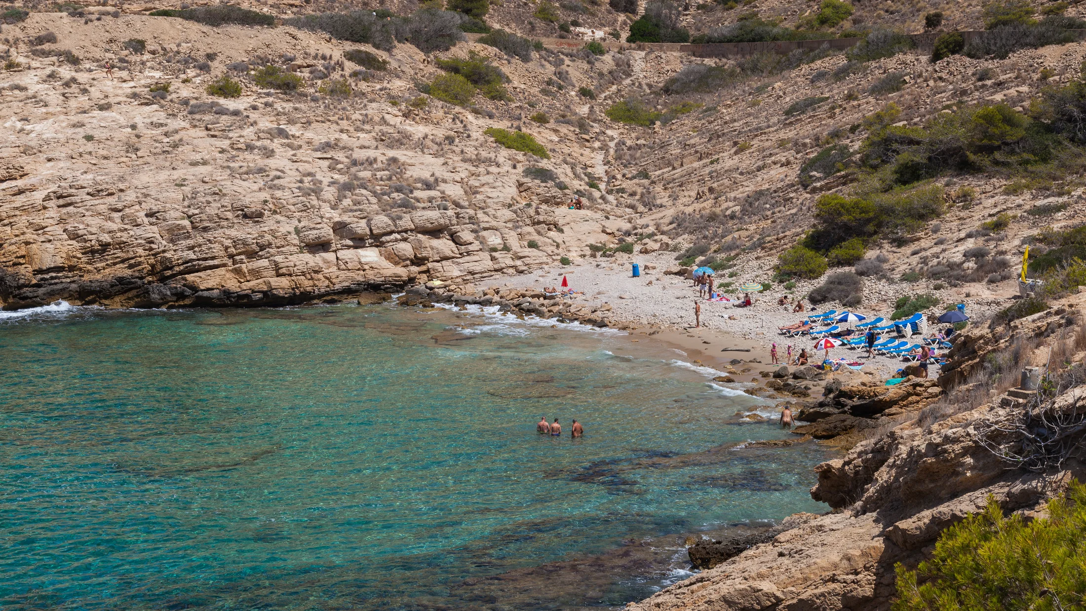
The park protects both the terrestrial area and a 2,400-hectare marine strip extending 500 m from the shore. The seabed combines Posidonia oceanica meadows — a Mediterranean endemic plant that serves as a water quality indicator and nursery habitat — with vertical limestone walls colonised by red gorgonians (Paramuricea clavata) and deep-water anemones. This marine environment makes the area one of the most interesting snorkelling and diving zones on the Alicante coast, with visibility on calm days exceeding 20 metres.

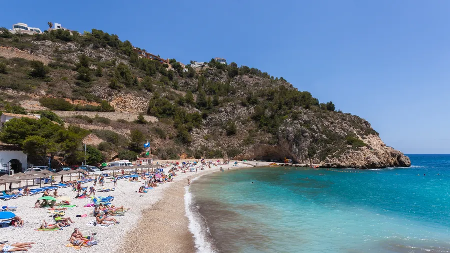
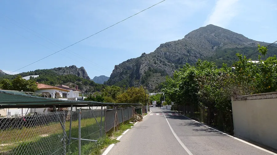
On land, the park's trails follow the ridgeline and clifftop with simultaneous views of Benidorm Bay and the Marina Alta coast. The path from La Cala de Finestrat to l'Albir, approximately 9 km, connects the southern end with the Albir Lighthouse passing the Tossal Gros and Barranc de la Bota viewpoints. This route is suitable for families with children over 8, though exposed sections require care. The Albir lighthouse, built in 1863 and now automated, can be visited during open-day events organised by the Alicante Port Authority.

The proximity of Benidorm — less than 4 km from the park boundary — makes Serra Gelada one of the most accessible protected natural areas in Spain. This brings clear advantages: good transport infrastructure, broad accommodation choice and public bus access. The practical consequence is that popular trails can be busy on summer mornings; arriving before 9 am or visiting on weekdays resolves this.

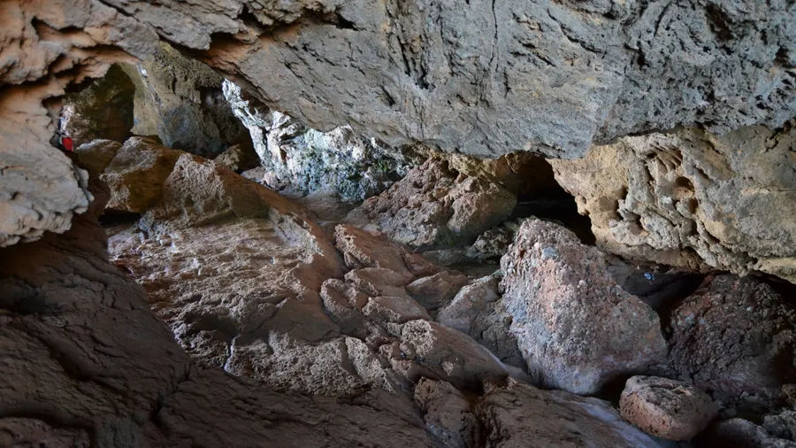
The geology of the serra warrants its own note. The eastern cliff materials are Miocene conglomerates and Cretaceous limestone, deformed during the Alpine orogeny and then exposed by marine erosion over thousands of years. On the lowest scarps, where waves have polished the rock, the bioerosion marks of sea urchins and date mussels (Lithophaga lithophaga) are visible—a bivalve that bores cylindrical galleries directly into limestone. The species is now protected and its collection is an offence, but its empty galleries appear at dozens of points along the coast. For underwater photographers, the combination of Posidonia meadows, gorgonian fans and vertical limestone walls provides compositions hard to match on the mainland Mediterranean coastline.

Practical information

Everything you need to know for your visit to Serra Gelada Natural Park

How to get there
From Benidorm, the Alsa L9 bus line reaches the park boundary. By car, the CV-7661 road accesses the Albir Lighthouse from l'Alfàs del Pi. The coastal path from Benidorm starts at Playa de Poniente. There is no parking inside the park.
Area Information
The park is flanked by Benidorm to the south and l'Alfàs del Pi and l'Albir to the north. Benidorm offers the highest concentration of tourist services in the Marina Baixa. The municipality of l'Alfàs del Pi has a significant international residential community.
Geography
Limestone spur approximately 10 km long oriented north–south. The Pic de la Serra Gelada reaches 438 m. The eastern cliffs are nearly vertical; the western slopes are more gradual, facing Benidorm Bay.
Flora & Fauna
Scrubland of rosemary, esparto, dwarf palm (Chamaerops humilis) and Aleppo pine on the cliffs. In the marine zone: Posidonia, red gorgonians, red mullet and grouper in rocky areas. The great cormorant and Audouin's gull nest on the cliff faces.

Things to do

Find the best plans and things to do in Serra Gelada Natural Park

20

Accommodations

Best accommodation options in Serra Gelada Natural Park

Loading accommodation options...

Frequently Asked Questions

Get answers about Serra Gelada Natural Park

Yes. The marine zone is open to snorkelling. The best spots are the rocky areas at the base of the eastern cliffs, where Posidonia meadows and gorgonian walls offer the greatest biodiversity. Access is by swimming from the coves or by sea kayak. Respect the marine buoy markers and do not anchor over Posidonia beds.
The full circular route between l'Albir and La Cala de Finestrat, including the Tossal Gros and Barranc de la Bota viewpoints, covers about 9 km and takes 3–4 hours at a relaxed pace. The shorter version to the lighthouse from the l'Alfàs del Pi car park is around 4 km and can be done in 1.5–2 hours.
The path to the Albir Lighthouse, particularly the initial sections from l'Alfàs del Pi, is the most family-friendly. More technical clifftop paths are not appropriate for children under 8. For family water activities, the coves of Benidorm Bay offer calmer water and shallower sandy sea floor.
Some sections of the park permit mountain biking, but most interior trails are pedestrian-only. The lighthouse road is paved and suitable for road bikes or MTB. Cycling from Benidorm along the promenade to the trailhead is straightforward.
The main information point is at the Albir Lighthouse area, with interpretation panels on the flora, fauna and geology of the serra. The Valencian Regional Government manages the park; official maps and usage rules can be downloaded from the Conselleria de Medi Ambient website.