The essentials of Ría de Muros e Noia

  • • Noia cockles, a benchmark of Galician shellfish gathering
  • • Castro de Baroña, an Iron Age hillfort settlement by the sea
  • • Historic centres of Muros and Noia with medieval arcaded streets
  • • Ancoradoiro and As Furnas beaches with natural rock pools at low tide
  • • Shellfish cuisine paired with Rías Baixas DO albariño wines

Description

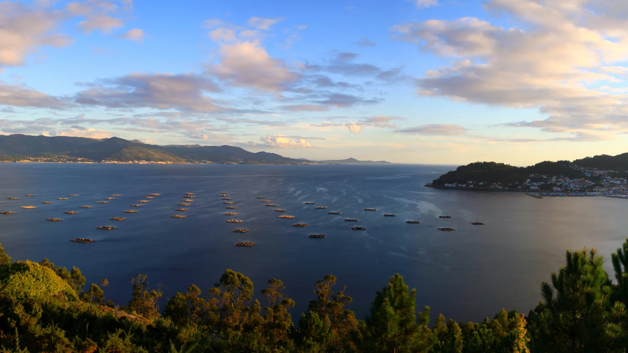
The Ría de Muros e Noia occupies the southernmost position among the Rías Baixas, where the Galician coast transitions towards the rugged character of the Costa da Morte. Five municipalities line its waters — Muros, Noia, Outes, Porto do Son, and Lousame — each with its own personality but united by a sea-based economy. The ría's calmer waters sustain one of the most productive shellfish beds in Galicia, where Noia cockles have earned recognition for their quality and central role in the livelihoods of shellfish-gathering families.

The ría's beaches offer notable variety within a relatively compact area. Ancoradoiro, in Porto do Son, stretches out as a white-sand beach sheltered from direct swell. As Furnas, also in Porto do Son, features rock formations that create natural pools at low tide. San Francisco beach in Muros sits just metres from the historic centre. Along the southern shore, beaches are more exposed and receive some wave action, making them a good choice for those who prefer livelier water. The smell of salt and seaweed blends with that of the wet grass growing right to the sand's edge.

Historic heritage centres on the towns of Muros and Noia, both designated Historic-Artistic Sites. Muros preserves a medieval quarter of arcaded streets with granite colonnades, fish auction halls, and houses displaying noble coats of arms on their facades. Noia, at the head of the ría, holds the church of Santa María a Nova with its collection of medieval guild tombstones in the churchyard — one of the largest in Europe — where each slab shows the deceased's trade carved into stone. The Castro de Baroña in Porto do Son is the best-known Iron Age hillfort in Galicia: a fortified settlement on a rocky headland jutting into the sea, inhabited between the first century BC and the first century AD.

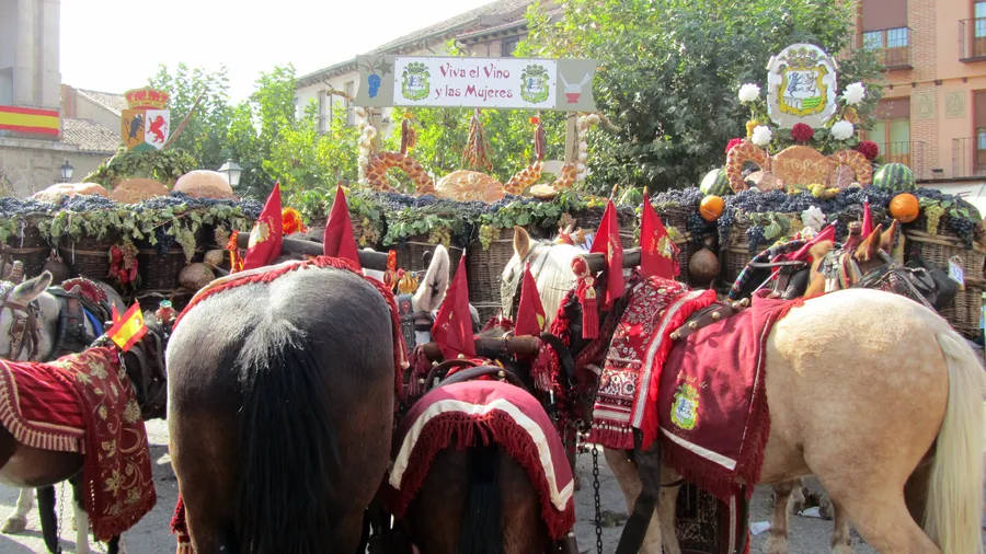
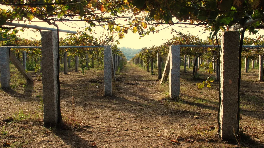
The cuisine revolves around shellfish and fish. Noia cockles are steamed or baked into empanada pies. Goose barnacles from the outer coast, razor clams, regular clams, and variegated scallops round out an offering served in the taverns and restaurants of both towns. Maize-flour empanadas filled with sardines or zorza sausage are a local speciality not always found on tourist menus. Rías Baixas DO wines, made from albariño grapes grown just kilometres from the ría, accompany every table.

Coastal trails link beaches and lookout points along both banks. The Monte Enxa route above Castro de Baroña provides views of the coastline and the archaeological site from above. Inland, the River Tambre meets the ría near Noia, and its lower course allows walks through riverside woodland of alder and willow. The shellfish-gathering community, predominantly women, works the ría's sandbars at low tide — an everyday scene that defines this stretch of Galician coast.

Practical information

Everything you need to know for your visit to Ría de Muros e Noia

How to get there
From Santiago de Compostela, the AC-543 and AC-550 roads reach Noia in about 40 minutes and Muros in roughly one hour. Regular buses run from Santiago to both Noia and Muros. The nearest train station is in Santiago de Compostela, with AVE high-speed and conventional connections from Madrid, Barcelona, and other cities.
Area Information
Five municipalities: Muros, Noia, Outes, Porto do Son, and Lousame. Tourist offices in Muros and Noia. Shellfish gathering is the main economic activity, regulated by local cofradías (fishing guilds). Summer food festivals dedicated to cockles, octopus, and seafood.
Geography
Estuary at the transition between Rías Baixas and Costa da Morte, in A Coruña province. Sheltered waters surrounded by low hills. The River Tambre meets the ría from the east. Coastline alternating between sandy beaches and rocky stretches.
Flora & Fauna
Riparian woodland of alder and willow along the Tambre. Pine and eucalyptus plantations on the hillsides. The ría hosts cockle, clam, and razor clam beds. Birds: European shag, grey heron, yellow-legged gull. Goose barnacles on the outer coast exposed to Atlantic swell.

Things to do

Find the best plans and things to do in Ría de Muros e Noia

20

Accommodations

Best accommodation options in Ría de Muros e Noia

Loading accommodation options...

Frequently Asked Questions

Get answers about Ría de Muros e Noia

Yes, the mariscadoras work the sandbars at low tide, mainly in the Noia area. The activity is visible from the seafront promenades and nearby beaches. No permission is needed to watch, but keep your distance and avoid stepping on the beds marked by the fishing guilds.
Absolutely. It is the most photogenic hillfort in Galicia, set on a rocky headland surrounded by beaches. Access is free and the site can be explored in about 30-40 minutes. The light in the late afternoon is best for photographing the ruins with the sea behind them.
Ancoradoiro in Porto do Son combines fine sand, calm waters, and shallow depth near the shore, making it suitable for children. San Francisco beach in Muros is next to the town centre with services nearby. Both have good road access and parking.
Restaurants in Noia and Muros serve fresh cockles from the ría, especially between October and April, the main harvesting season. The taverns by Muros harbour and restaurants in Noia old town tend to offer the best value. Ask whether the cockles are from the ría itself.
It is advisable. Although buses run between Noia and Muros, the beaches in Porto do Son and scattered points of interest require a private vehicle. Distances are short — the ría measures about 15 km from head to mouth — so it can be comfortably covered in a day.