The essentials of Embalse de Guadalhorce

  • • System of three reservoirs (Guadalhorce, Guadalteba, Conde) with a combined capacity of 360 hm³
  • • Sand and gravel beaches at the Guadalteba tails with water at 24–26 °C in July–August
  • • Northern access to the Caminito del Rey from the Conde de Guadalhorce reservoir near Ardales
  • • Sport fishing for carp (catches over 10 kg) and largemouth bass with a Junta licence
  • • Griffon vulture colonies on the limestone cliffs and purple heron in the Conde reed beds

Description

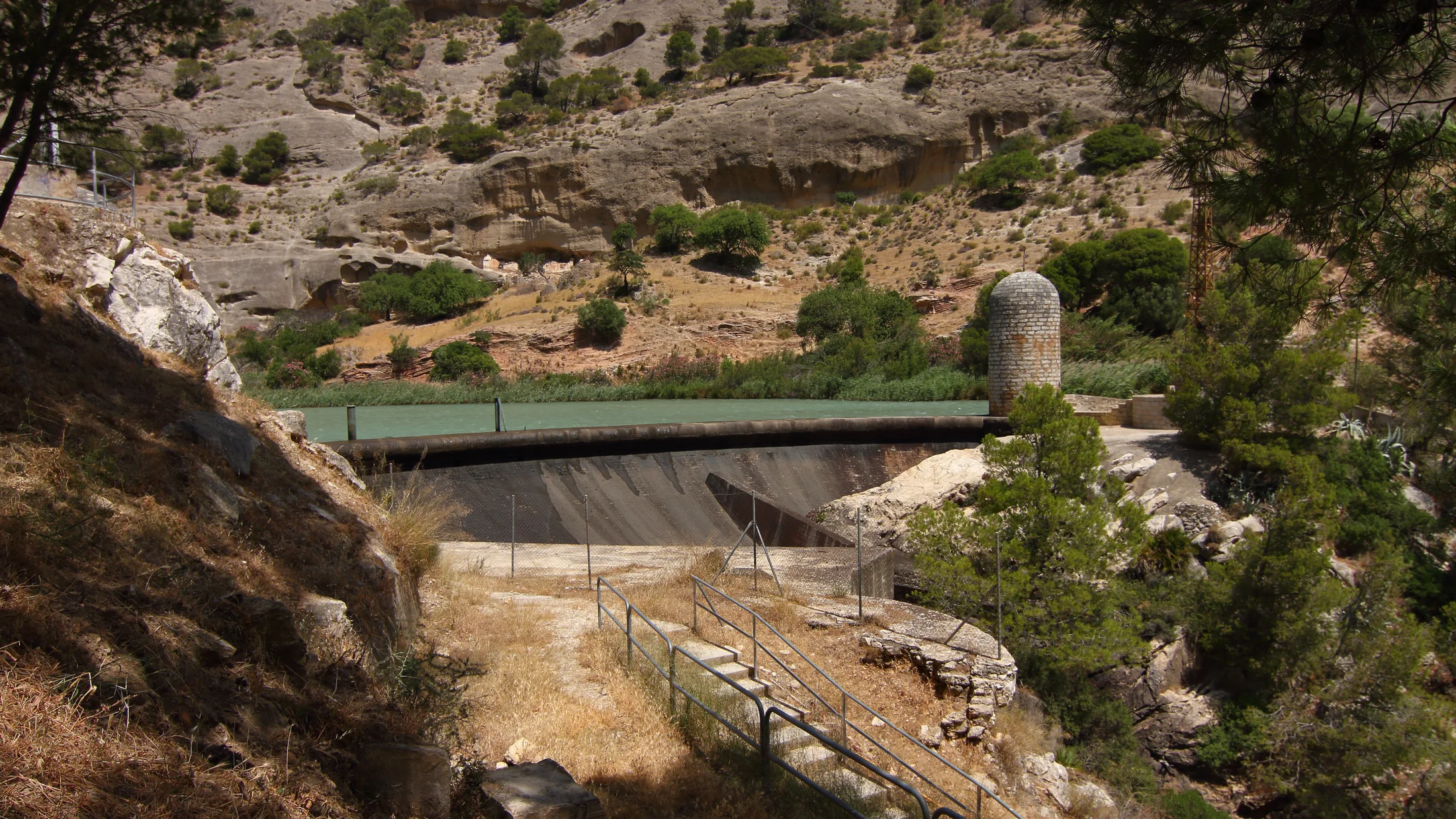
The Embalse de Guadalhorce is actually a system of three interconnected reservoirs — Guadalhorce, Guadalteba and Conde de Guadalhorce — with a combined capacity of around 360 cubic hectometres and a total water surface of roughly 2,600 hectares at maximum level, in the interior of Málaga province. They sit about 50 kilometres north of Málaga city, at the confluence of the Guadalhorce, Guadalteba and Turón rivers, between the municipalities of Ardales, Campillos, Teba and Álora. The three reservoirs were built between 1914 and 1973, primarily for water supply to Málaga city and flood regulation on the Guadalhorce.

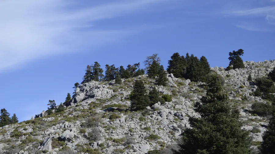
The surrounding landscape combines low Mediterranean scrub with limestone outcrops and grey marl formations that erosion has sculpted into rounded shapes. Along the shores, Aleppo pines and wild olives alternate with rockrose, mastic and rosemary scrub. When water levels drop in summer, sand and gravel beaches emerge at the reservoir tails, particularly in the Guadalteba area, where families from Málaga, Campillos and Antequera come to swim and spend the day. Water temperatures can reach 24–26 °C in July and August, with a blue-green hue against the background of ochre earth and white limestone.

The area holds notable ornithological value. The three reservoirs form part of Andalucía's inventory of wetlands important for waterbirds. In winter, great cormorants, grey herons, mallards and coots gather here. The purple heron colony in the reed beds of the Conde de Guadalhorce reservoir is one of the most southerly on the Peninsula. Griffon vultures nest on the limestone cliffs flanking the reservoirs, and Bonelli's eagles are regularly spotted patrolling over the water.

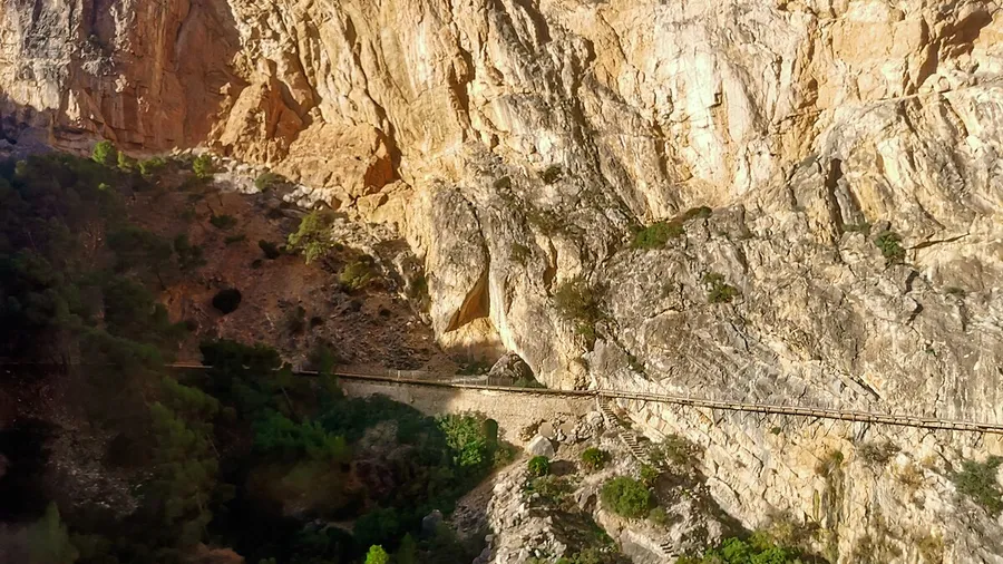
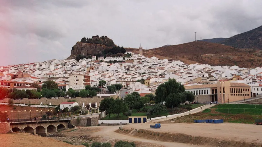
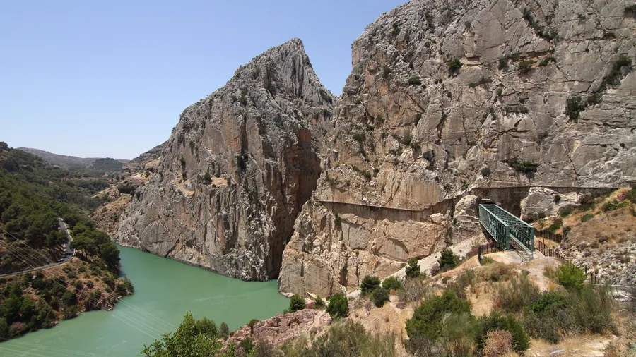
The Embalse de Guadalhorce serves as the gateway to the Desfiladero de los Gaitanes gorge and the Caminito del Rey, the 3 km walkway suspended 100 metres above the river that was rehabilitated in 2015 and receives over 300,000 visitors per year. The northern access to the Caminito starts from the Conde de Guadalhorce reservoir, next to the village of Ardales. The connection between both resources — reservoirs for a beach day and watersports, Caminito for a hiking route — means many visitors combine both activities in a single day.

Watersport options include kayaking, paddleboarding and sport fishing. Several local companies offer kayak hire and guided trips in the Guadalteba arm and the main reservoir. Carp and largemouth bass fishing has a strong reputation among Andalucian anglers, with carp catches exceeding 10 kg. A Junta de Andalucía fishing licence is required. For land-based hiking, the Presa del Conde trail (6 km return) provides elevated views over all three reservoirs, and the Mirador de Ardales route (4 km) connects to the village's historic centre, where terrace restaurants with reservoir views make a worthwhile lunch stop.

Practical information

Everything you need to know for your visit to Embalse de Guadalhorce

How to get there
From Málaga, take the A-357 towards Campillos/Ardales (50 km, 45 min). From Antequera, the A-7-276 reaches Ardales in about 35 km. The Guadalteba reservoir is accessed via the MA-5403 from Campillos. From Seville, take the A-92 to Campillos (about 120 km, 1 h 20 min). There is no regular public transport to the bathing areas.
Area Information
Ardales is the main base village, with restaurants, rural accommodation and the Caminito del Rey Interpretation Centre. Campillos and Teba offer additional lodging and services. The Guadalteba bathing areas have no lifeguards or permanent facilities; bring your own supplies. Kayak hire companies operate in Ardales and beside the Guadalteba.
Geography
Confluence of the Guadalhorce, Guadalteba and Turón rivers in a depression surrounded by low limestone ranges. Three stepped reservoirs with dam levels between 300 and 370 m altitude. Limestone and grey marl outcrops. To the south, the Gaitanes gorge cuts through the range with walls up to 300 metres.
Flora & Fauna
Aleppo pine, wild olive, rockrose, mastic and rosemary on the slopes. Extensive reed beds in the Conde de Guadalhorce arms. Birdlife: griffon vulture, Bonelli's eagle, purple heron, great cormorant, mallard and coot. Fish: common carp (catches >10 kg), largemouth bass and barbel. Otters present in quieter stretches.

Things to do

Find the best plans and things to do in Embalse de Guadalhorce

20

Accommodations

Best accommodation options in Embalse de Guadalhorce

Loading accommodation options...

Frequently Asked Questions

Get answers about Embalse de Guadalhorce

Swimming is possible and common, particularly on the sand and gravel beaches that appear at the Guadalteba tails in summer. However, there are no officially designated swimming areas with lifeguards or flags. Bathing is at your own risk without regulation. Water temperature in July–August is around 24–26 °C, comfortable for adults and children.
The northern access to the Caminito del Rey starts beside the Conde de Guadalhorce reservoir, near Ardales. You can walk the Caminito in the morning (roughly 3–4 hours including the shuttle transfer) and spend the afternoon at the Guadalteba beaches, a 15-minute drive away. Caminito tickets sell out quickly, so book online several weeks ahead.
Several local companies offer kayak hire and guided trips on the reservoirs, particularly around Ardales and the Guadalteba arm. Indicative prices are 15–25 euros per person for a guided 2–3 hour trip. Booking ahead is advisable in peak season. Ask at the Ardales Interpretation Centre for current options.
The reservoirs have a strong reputation for common carp fishing, with catches exceeding 10 kg, and for largemouth bass. Barbel and, to a lesser extent, pike are also present. A Junta de Andalucía fishing licence is required. The Guadalteba shores and the main reservoir tails are the most productive areas.
Ardales is the best-placed village, with several rural houses, a hotel and restaurants serving local Guadalteba cuisine. Campillos, 15 km away, offers more accommodation options and supermarkets. There are unregulated wild camping areas on the banks, though no official campsites operate on the reservoir shores.