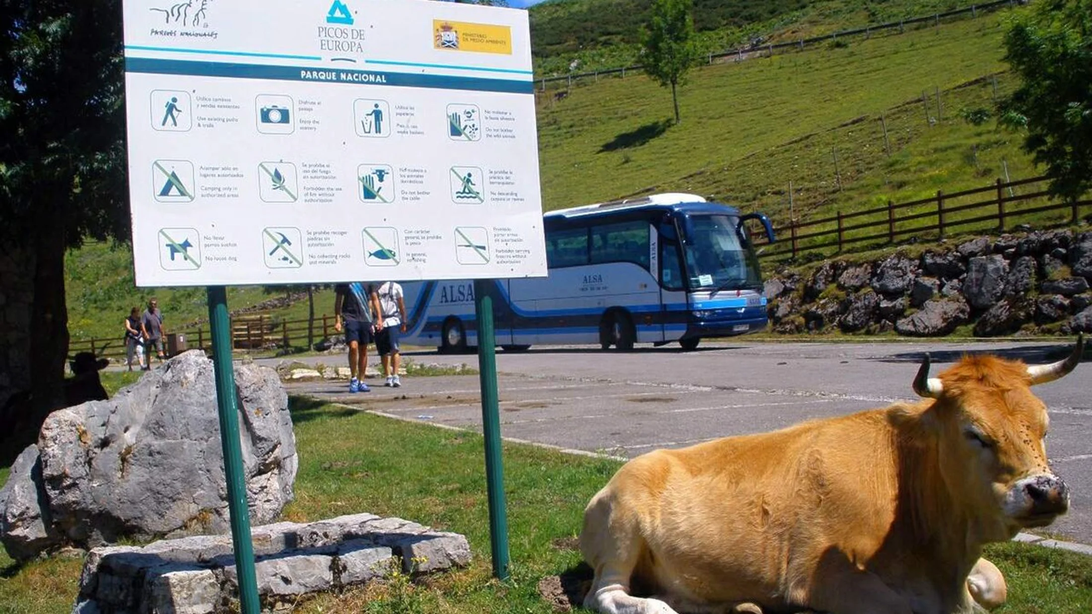
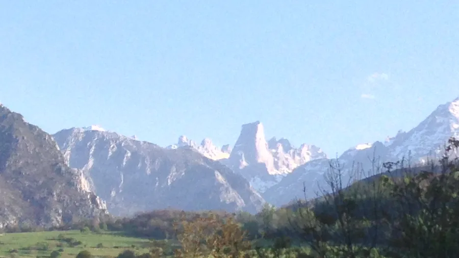
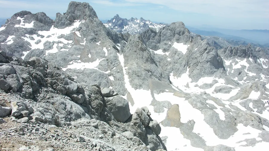
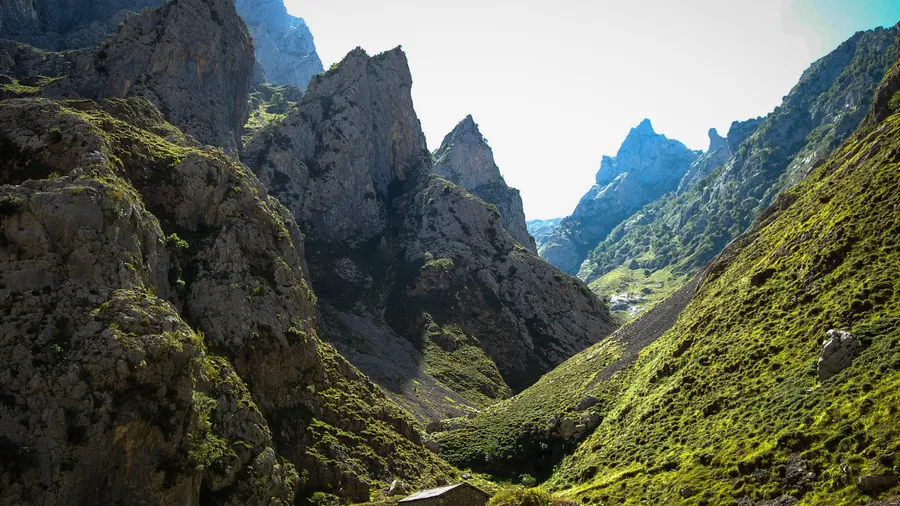
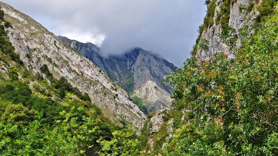
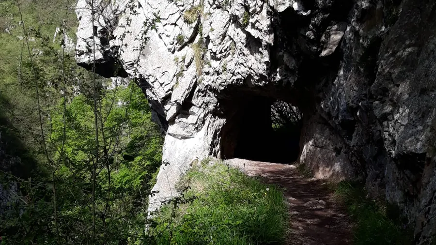
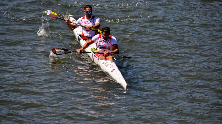
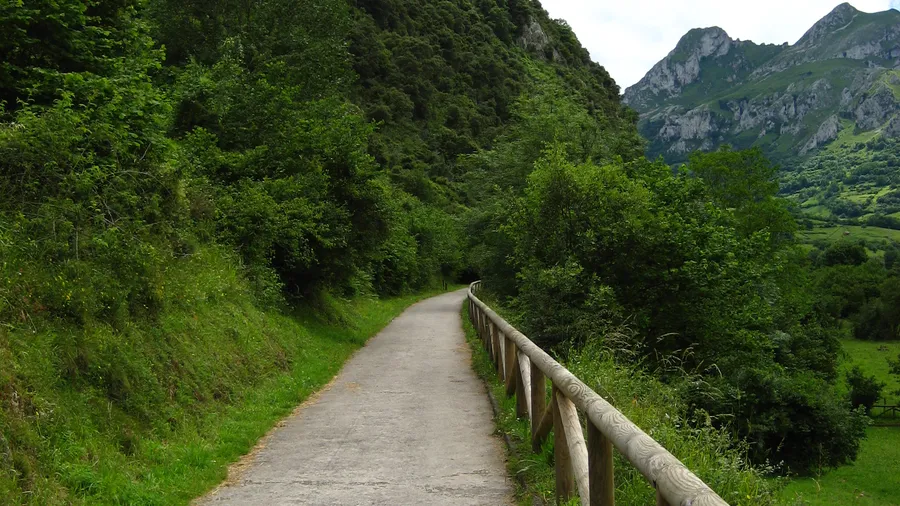
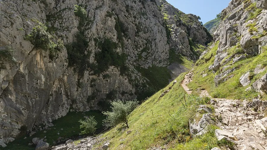
Guided Hiking in the Cornión Massif, Picos de Europa
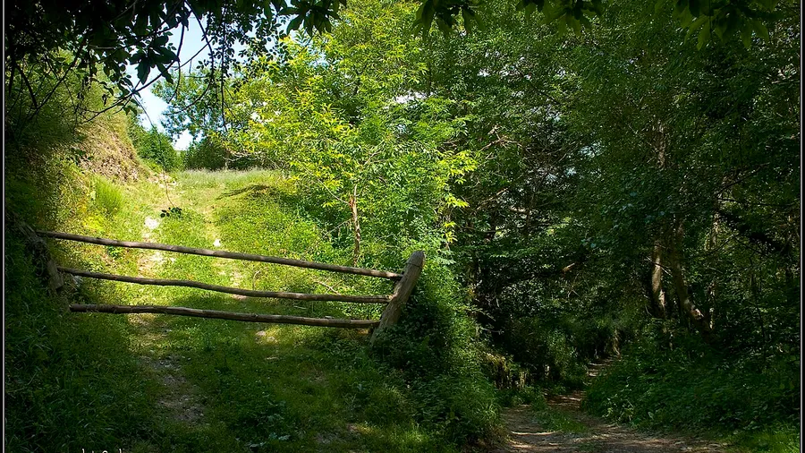
Hiking
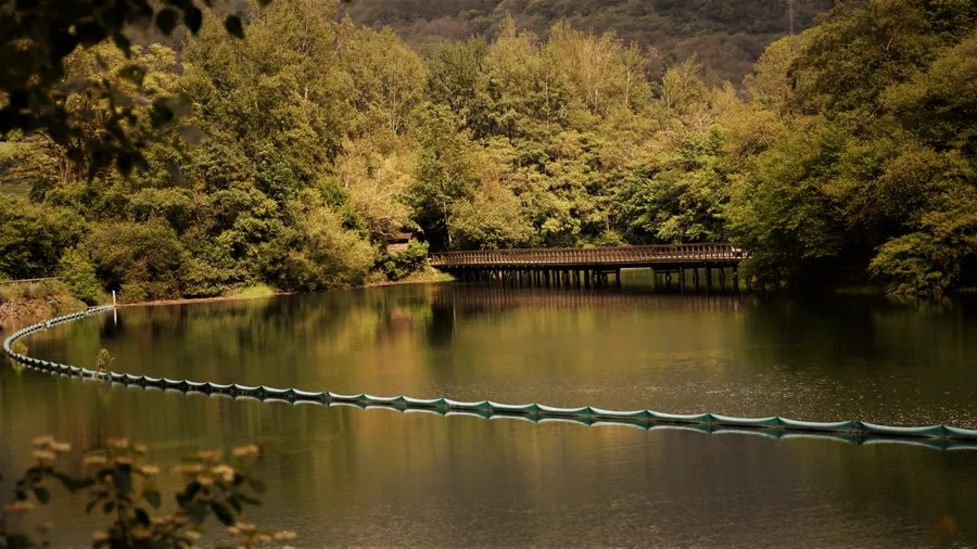
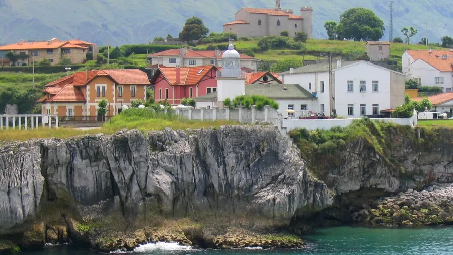
Cangas de Onís, Asturias
Desde
€200.00
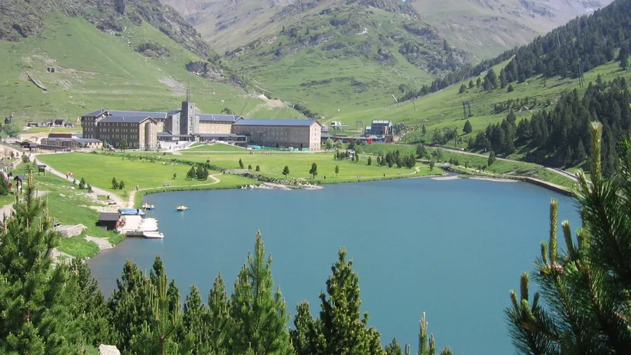
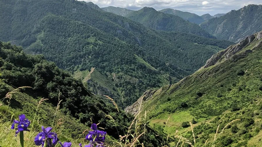
Plans, activities and things to see in Principality of Asturias
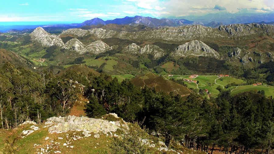
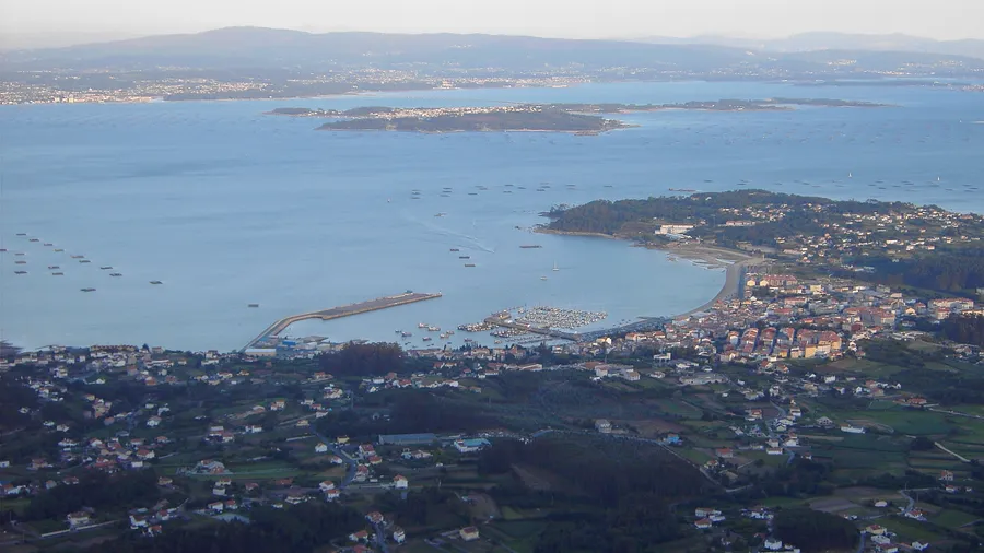
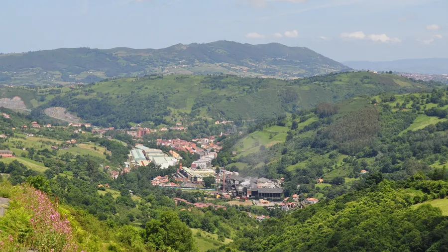
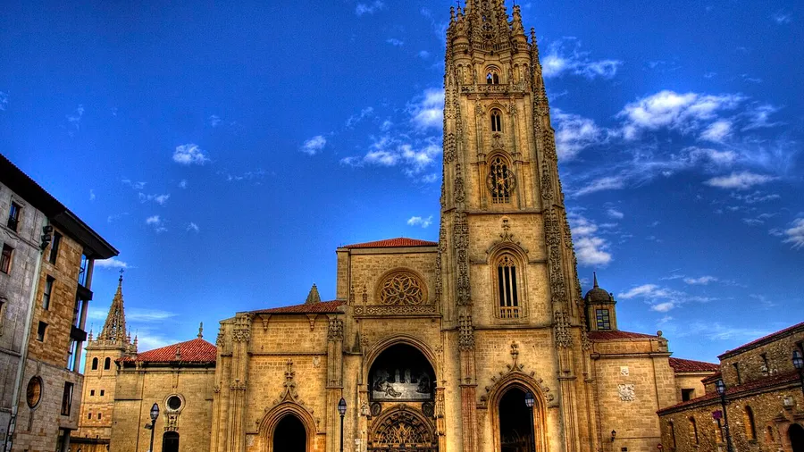
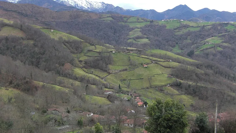
Principality of Asturias
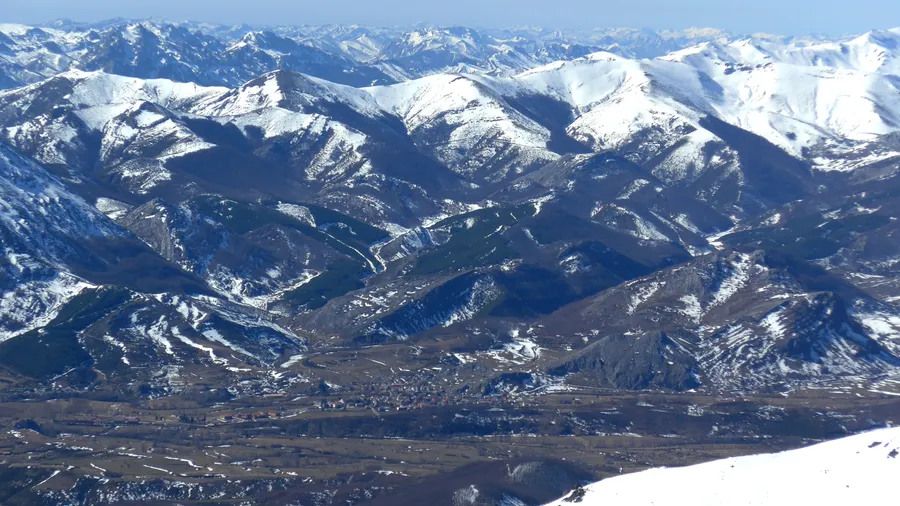
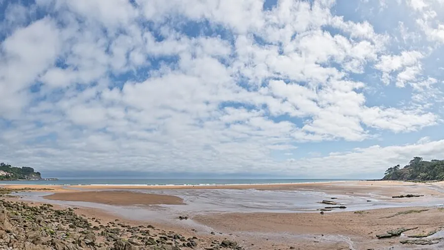
June to September for mountain and coastal activities in stable weather. May and October are ideal for hiking in the Picos without crowds. Surfing is best October to March when Atlantic storms generate consistent swells.
In the Picos de Europa, parking at Poncebos and Caín fills up before 9am in July and August: arrive early or use the bus service from Arenas de Cabrales. Canyoning routes in the Cares should be booked 2-3 days ahead in peak season. For surfing, Rodiles schools work with groups of maximum 6 students per instructor; weekend slots in August sell out weeks in advance. On the Camino Primitivo, note that the section between O Cádavo and Lugo has limited-capacity hostels and advance booking is advisable.
Las mejores experiencias y planes disponibles en Principality of Asturias
Rincones, lugares y puntos de interés que no te puedes perder
Zonas y destinos turísticos en Principality of Asturias
Descubre qué hacer en cada localidad de Principality of Asturias


 0
0  0
0  0
0  0
0 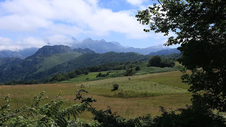 0
0 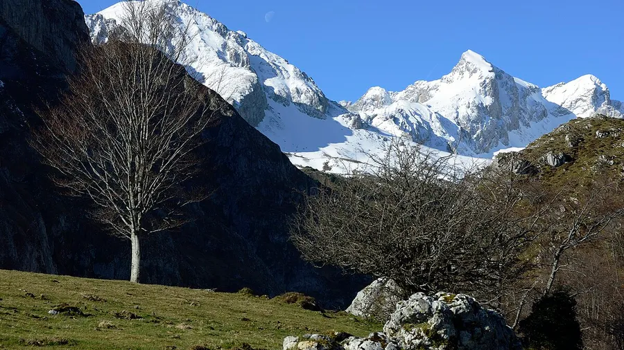 0
0  0
0  0
0  0
0  0
0  0
0  0
0