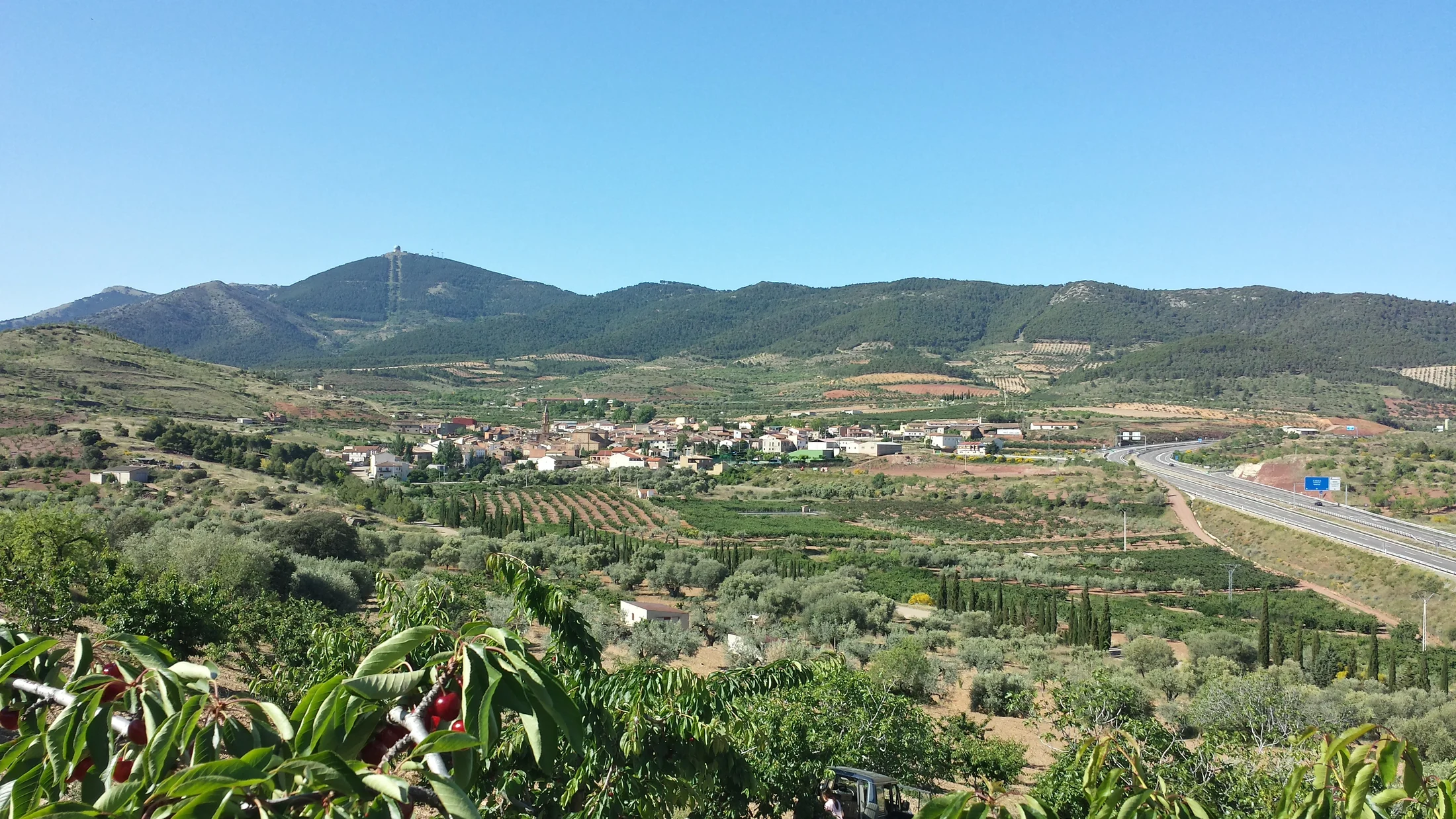
Sierra de Vicort rises between the Calatayud and Campo de Daroca districts in the centre-west of Zaragoza province, an Iberian System alignment reaching 1,427 metres at Pico Vicort. This elongated range (roughly 25 km on a NW-SE axis) acts as the divide between the Jalón basin to the north and the Jiloca basin to the south. Its central position in Aragón places it at the crossroads of climatic and biological influences: the aridity of the Ebro valley to the north versus the cold continentality of the Teruel plateau to the south.
The sierra's slopes carry a forest mosaic shaped by altitude and aspect. The dry south-facing lower slopes (600-900 m) hold scattered holm oak with kermes oak, rosemary and thyme that scent the air in spring. The damper north-facing slopes harbour Portuguese oak woodland (Quercus faginea) and stands of black pine that at mid-altitudes form a dense forest where light barely reaches the floor. Above 1,200 metres, the tree cover opens into a landscape of rocky crests with Spanish juniper, creeping juniper and mountain grasslands that withstand wind and winter frost.
Wildlife is typical of the Iberian mid-mountain. Golden eagles nest on the crags of the southern face, and Bonelli's eagle holds territories in the warmer sections of the range. The forests support populations of wild boar, roe deer and European wildcat. On the summit rocks, the Iberian ibex has been reintroduced and can be spotted with relative ease at dawn. Spring nights bring the calls of the stone-curlew and the Eurasian scops owl, and in the seasonal pools of the ravines the midwife toad and marbled newt breed.
The trail network radiates from the villages at the sierra's base — Maluenda, Villarroya de la Sierra, Sediles, Mara — and offers routes of varying intensity. The ascent to Pico Vicort from Maluenda (10 km, 800 m elevation gain) passes through holm oak, Portuguese oak and the summit pinewoods before reaching the geodetic marker, from which you can see Moncayo to the northwest, Sierra de Algairén to the east and, on clear days, the distant profile of the Pyrenees. A circular variant along the sierra's ridge allows 6 kilometres of crest walking with simultaneous views over both slopes.
The sierra's connection with history runs deeper than its appearance suggests. The Celtiberian site of Segeda, on the eastern slopes near Mara, was one of the most important cities of Celtiberia. Its expansion in 154 BC triggered a declaration of war by Rome, and this military campaign forced the start of the Roman year to be moved from March to January — the 1st of January as the start of the year originates here. The site is open to visitors and has an interpretation centre.
The villages at the base preserve significant Mudéjar heritage. Maluenda has two Mudéjar churches listed as UNESCO World Heritage as part of the Mudéjar of Aragón ensemble: the church of Saints Justa and Rufina and the church of Santa María. Their brick towers with geometric decoration in glazed ceramics represent some of the finest examples of Aragonese Mudéjar art. Villarroya de la Sierra also offers a Mudéjar church and a ruined castle with views over the valley.
Local cuisine draws on the land's produce: roast ternasco (young lamb), migas aragonesas, peach and cherry preserves from the Jalón and Jiloca valleys, and wines from DO Calatayud — altitude Garnacha grown in vineyards climbing the sierra's slopes to 900 metres.