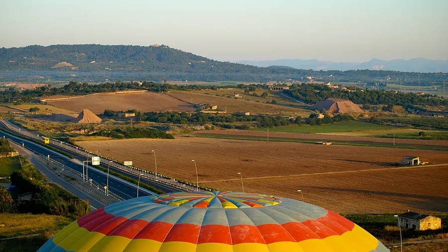
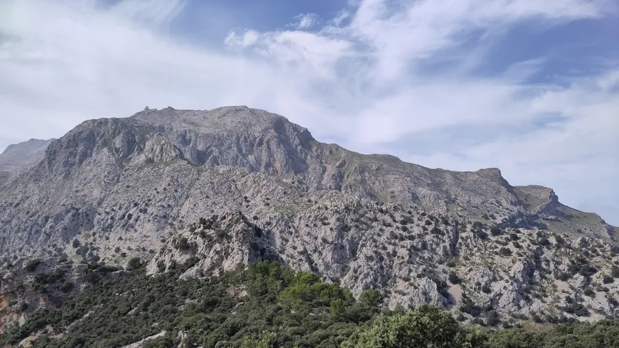
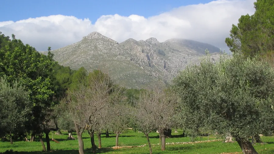
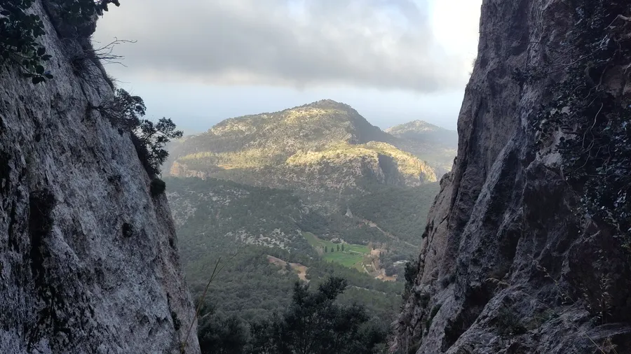
The Serra de Tramuntana runs along the northwestern edge of Mallorca for roughly 90 kilometres, forming the island's geographic backbone. Its highest point, Puig Major at 1,445 metres, is partially restricted by military installations, but the range has dozens of summits above 1,000 metres accessible on well-marked trails. The northwestern face drops almost directly into the sea along a coastline of cliffs that reach 400 metres above the water in places. This windward side receives rain and north winds that make it noticeably cooler and wetter than the rest of Mallorca.
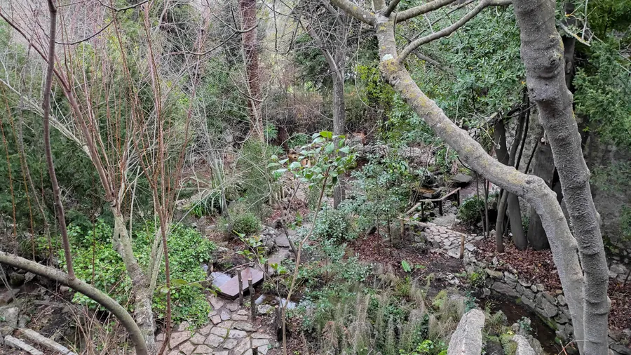
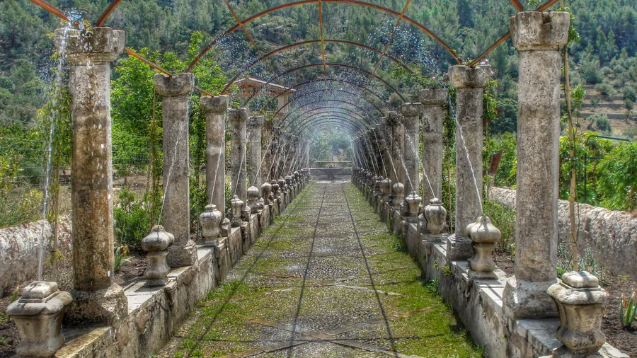
The designation as a UNESCO Cultural Landscape in 2011 recognised not just the natural scenery but the centuries of human transformation layered into it. The marjades — dry stone terraced walls built without mortar — run for thousands of kilometres through the mountains, enclosing olive and almond groves on slopes that would otherwise be uncultivable. Alongside water mills and ice wells, these walls represent an agricultural engineering tradition that sustained communities on terrain most would consider impossible to farm. Some of the oldest walls have stood for over five hundred years. Walking between Sóller and Deià along a stone path lined with ancient olive trees, with the sea visible through gaps in the hillside, makes the landscape feel like something still actively inhabited.
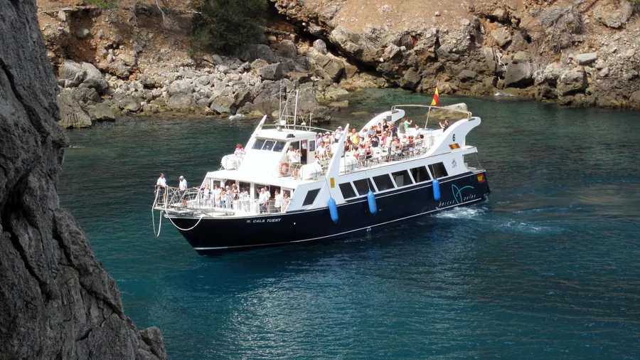
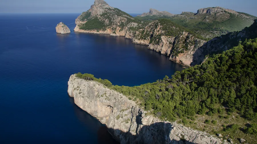
The Torrent de Pareis is Mallorca's longest canyon and one of the most dramatic in the Balearic Islands. It forms at the confluence of the Lluc and Gorg Blau torrents and reaches the sea at the small beach of Sa Calobra after cutting roughly 2.5 km through a gorge with walls up to 200 metres high. The canyon floor can only be walked in spring and early summer, when the natural pools are at passable depth. Getting to Sa Calobra by road means descending 25 kilometres from Port de Sóller through 26 tight hairpins, dropping almost 900 metres to sea level — a route as well known to cyclists as to drivers.
The GR 221, known as the Dry Stone Route, crosses the range from south to north in eight stages linking the mountain refuges managed by the Consell de Mallorca. The trail passes through Estellencs, Banyalbufar, Valldemossa, Deià and Sóller before climbing to Puig de Massanella (1,364 m) and descending toward Pollença. Eight days of walking take in vineyards, olive groves, pine forest, open Mediterranean high ground and coastal cliff paths, making this one of the most varied long-distance routes in the Balearic Islands.