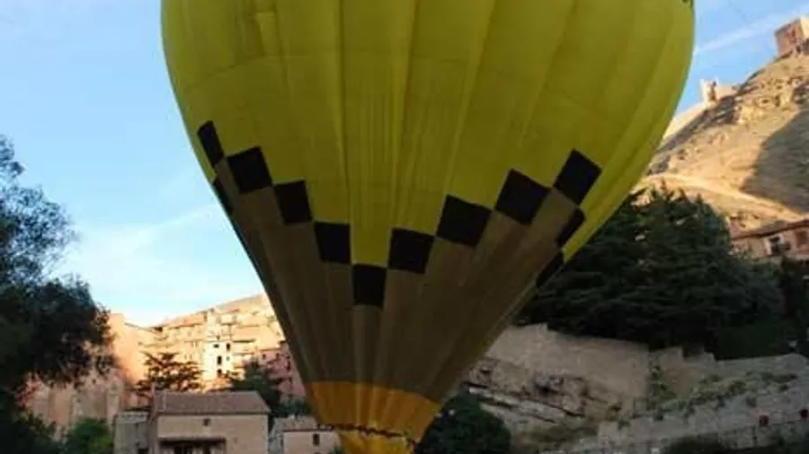
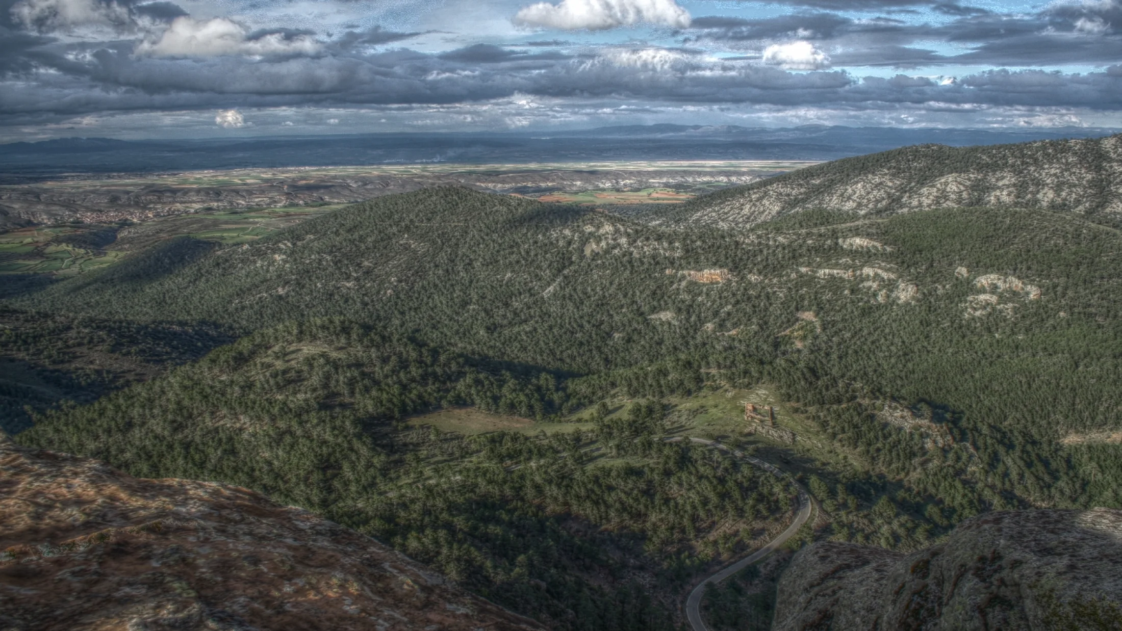
The Sierra de Albarracín occupies the south-western sector of the Iberian Range, between the provinces of Teruel and Cuenca, with altitudes ranging from 1,000 to 1,856 metres at Caimodorro. This mountain block acts as a watershed: eastward flow the tributaries of the Turia toward the Mediterranean, while westward the Guadalaviar and other rivers seek the Atlantic through the Tagus. The landscape combines Rodeno pine forests on red sandstone, juniper savin woodlands on the high plateaus, and wind-sculpted sandstone formations that produce arches, pillars and shallow caves tinged red. Nights are long and clear: the Starlight Foundation has recognised the area as one of the best dark-sky sites on the Iberian Peninsula.
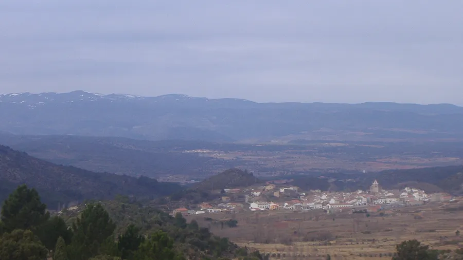
Albarracín, the town that gives the sierra its name, sits on an entrenched meander of the Guadalaviar at 1,171 metres. Its medieval walls, pinkish-plaster hanging houses and narrow streets form a historic centre declared a National Monument. The town serves as the gateway to the sierra and concentrates most services: accommodation, restaurants, craft shops and the regional tourism office. Most hiking and mountain-biking routes start here or connect through the town.
The trail network covers over 200 kilometres and includes itineraries for all levels. The Pinares de Rodeno Protected Landscape, about 5 kilometres from Albarracín, combines paths among red sandstone formations with a set of rock shelters containing Levantine rock art, a UNESCO World Heritage listing. Mountain bikers find over 50 signposted routes totalling some 400 kilometres of tracks and trails through the pine forests, with moderate gradients and surfaces that alternate between rock, sand and root. In winter the higher ground can be snow-covered, lending itself to snowshoe excursions.
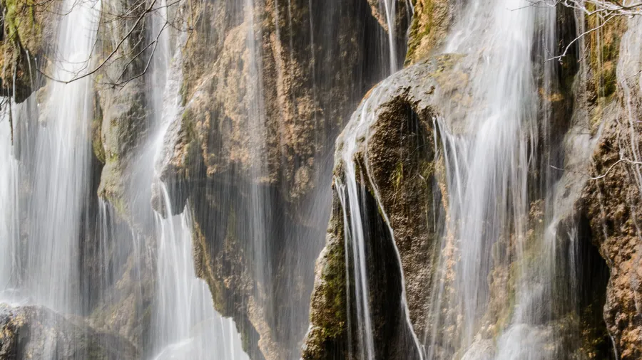
Wildlife in the sierra includes red deer, roe deer, wild boar and wildcat in the forests. Raptors are common: golden eagle, goshawk and peregrine falcon patrol the river gorges. In spring the high meadows fill with narcissus and wild orchid, while in autumn the riverside poplars turn the valley floors an intense yellow and the scent of fresh mushrooms drifts from the pine woods. Native brown trout survive in the upper Guadalaviar, where the water runs cold and well-oxygenated.
Local cuisine centres on lamb, the Sarrión black truffle (Europe's largest production area, 60 km away), Teruel DOP ham and migas. The sierra villages — Royuela, Tramacastilla, Torres de Albarracín, Noguera — keep small populations but offer rural guesthouses and seasonal restaurants. The drive from Teruel city takes about 35 minutes on the A-1512; from Madrid the journey is roughly 3.5 hours via the A-2 and N-330.