The essentials of Parque Natural de la Sierra de Aitana

  • • 1,558 m summit, the highest point in the province of Alicante
  • • Bonelli's eagle, eagle owl and peregrine falcon on limestone cliffs
  • • 37 km Aitana-Serrella-Xorta traverse with 3,000 m elevation gain
  • • Over a dozen wild orchid species blooming in spring
  • • Mountain villages with olleta stew and local olive oil cuisine

Description

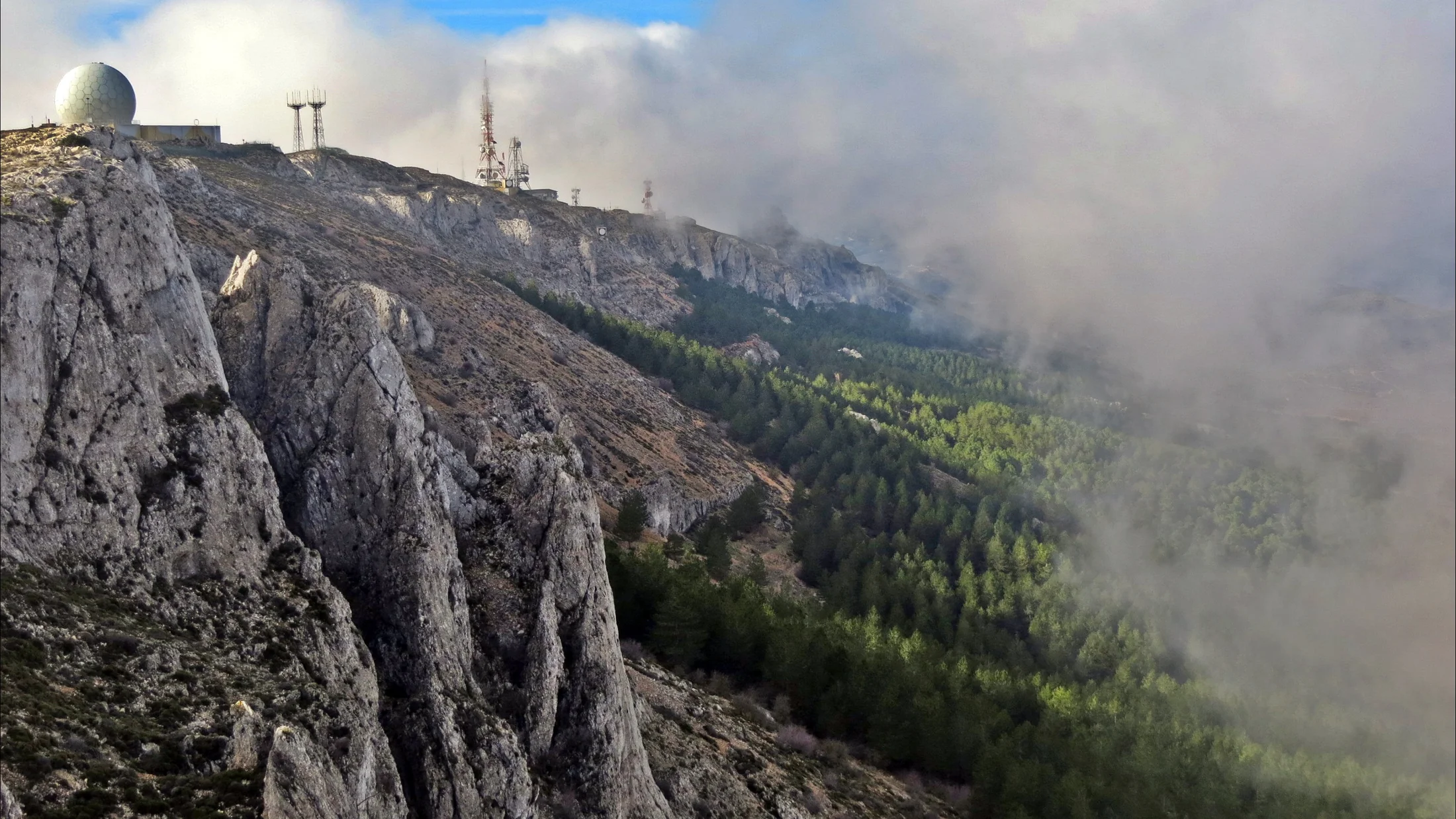
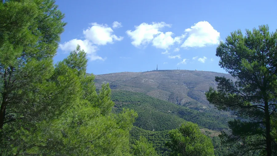
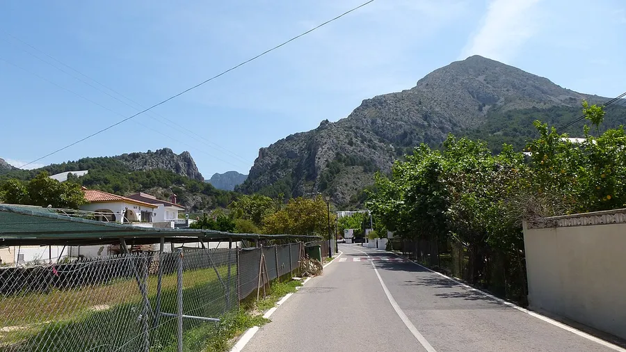
Sierra de Aitana rises to 1,558 meters, the highest point in the province of Alicante. This Baetic mountain formation stretches across the Marina Baja, Hoya de Alcoy and Condado de Cocentaina districts, covering municipalities such as Confrides, Benifato, Alcoleja, Benimantell and Sella. Together with Sierra de Serrella and Puig Campana, it forms a Site of Community Interest (SCI) within the Natura 2000 network. The contrast is striking: the Benidorm coast lies under 40 minutes away by car, yet the sierra belongs to a different world, that of the inland Mediterranean mountains.

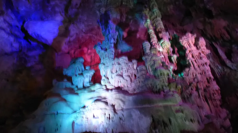
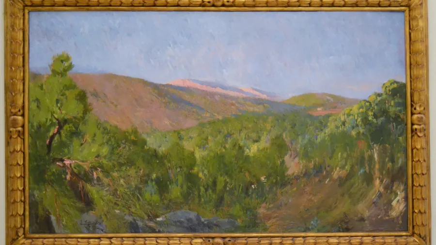
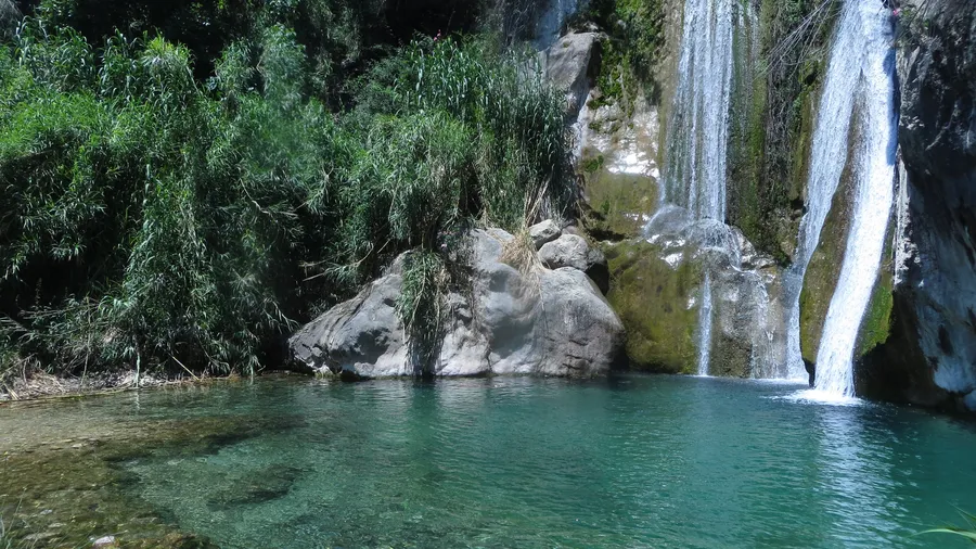
The landscape alternates limestone ridges with deep ravines and slopes covered in Aleppo pine, juniper and holm oak woodland. The geological formations are Cretaceous and Jurassic limestone and dolomite, shaped by a system of folds and faults that define the current terrain. At higher altitudes on north-facing slopes, remnants of yew and holly survive as relics of past climates at their southern limit within the Valencia region. In spring, over a dozen wild orchid species bloom among the rocky terrain, and the scent of rosemary and thyme fills the trails climbing toward the summit. The peak is frequently wrapped in Mediterranean mists that create a humid microclimate with a mean annual temperature around 10-11 degrees Celsius.

Wildlife includes raptors such as Bonelli's eagle, eagle owl and peregrine falcon, which nest on the south-facing limestone cliffs. Wild boar roam the ravines at dawn while red foxes move through abandoned agricultural terraces that recall centuries of mountain farming. Red-legged partridge and wild rabbit inhabit the scrubland, forming the prey base for the large raptors. For birdwatchers, the rock faces are prime viewing spots, particularly between October and March when wintering raptors gather. Over 120 vertebrate species have been recorded across the sierra.

Hiking routes start from villages like Benifato (Font de Partegat) and Puerto de Tudons via the PR-CV 20, with elevation gains between 400 and 900 meters. The direct ascent from Benifato takes about 3 hours through pine forests and rocky outcrops. The Aitana-Serrella-Xorta traverse covers roughly 37 kilometers with 3,000 meters of accumulated elevation, designed for experienced hikers over two days. For intermediate levels, the ascent from Font de l'Arbre offers a gradual climb with Mediterranean views reaching the island of Ibiza, over 150 kilometers away on clear days. The summit hosts a military base closed to the public, but the geodetic marker and 360-degree viewpoint are freely accessible.

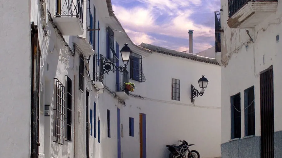
The sierra villages — Confrides, Benifato, Alcoleja, Benasau, Penaguila — keep a slow pace. Narrow streets, stone fountains and whitewashed chapels preserve a rural architecture that contrasts with the nearby tourist coast. Local cuisine revolves around the comarca's olive oil, aromatic herbs, rosemary honey and cured meats, with restaurants serving olleta alcoyana, bacalao borreta and mountain rice dishes. The local community, accustomed to hikers and cyclists, offers rural accommodation integrated into the landscape and keeps traditional village festivals alive.

Practical information

Everything you need to know for your visit to Parque Natural de la Sierra de Aitana

How to get there
From Alicante, take the AP-7 toward Benidorm and continue on the CV-70 toward Confrides; the drive takes roughly one hour. From Alcoy, the CV-70 connects directly with Benifato and Puerto de Tudons. Public transport is limited: the Alcoy-Benidorm bus route has few stops. A private vehicle is recommended.
Area Information
The sierra has signposted trails including the PR-CV 20 and the Aitana-Serrella-Xorta traverse. There is no visitor center within the park; information is available at the town halls of Confrides and Benifato. Nearby villages offer rural accommodation and dining.
Geography
Baetic mountain formation reaching 1,558 m. Limestone ridges, deep ravines and contrasting sun-facing and shaded slopes across the Marina Baja, Hoya de Alcoy and Condado de Cocentaina districts.
Flora & Fauna
Aleppo pine forests, junipers and holm oak dominate the slopes, with remnants of yew and holly on shaded high-altitude faces. Over a dozen wild orchid species bloom in spring. Wildlife includes Bonelli's eagle, eagle owl, peregrine falcon, wild boar and red fox.

Things to do

Find the best plans and things to do in Parque Natural de la Sierra de Aitana

20

Accommodations

Best accommodation options in Parque Natural de la Sierra de Aitana

Loading accommodation options...

Frequently Asked Questions

Get answers about Parque Natural de la Sierra de Aitana

Wild camping is not permitted within the protected area of the sierra. The nearest accommodation options are rural guesthouses in Confrides, Benifato and Alcoleja, with prices varying by season. There is a picnic area at Font de Partegat, but it has no overnight facilities or running water.
The route from Font de Partegat to the Tagarina col is the most accessible, covering about 6 km round trip with a moderate elevation gain of 400 meters. The forest track from Puerto de Tudons also allows shorter walks without technical difficulty.
October to March is the prime period, when wintering raptors including golden eagle and peregrine falcon gather on the sierra's limestone cliffs. Dawn and late afternoon offer the best sighting opportunities from the south-facing rock faces. Bring binoculars and position yourself near the Confrides ravine for optimal views.
The most direct route starts from Benifato via Font de Partegat, taking roughly 3 hours to ascend. The summit hosts a military base closed to the public, but the geodetic marker and panoramic views are freely accessible. Check the weather forecast before heading up.
Mountain bikes may use forest tracks and wide paths but are not allowed on narrow trails signposted as PR routes. The most popular cycling routes are the Puerto de Tudons track and the paths connecting Benifato with Alcoleja. The terrain is demanding with steep gradients, so a good level of fitness and appropriate gear are recommended.