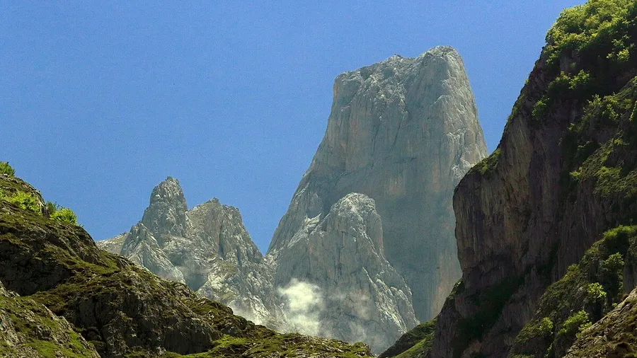
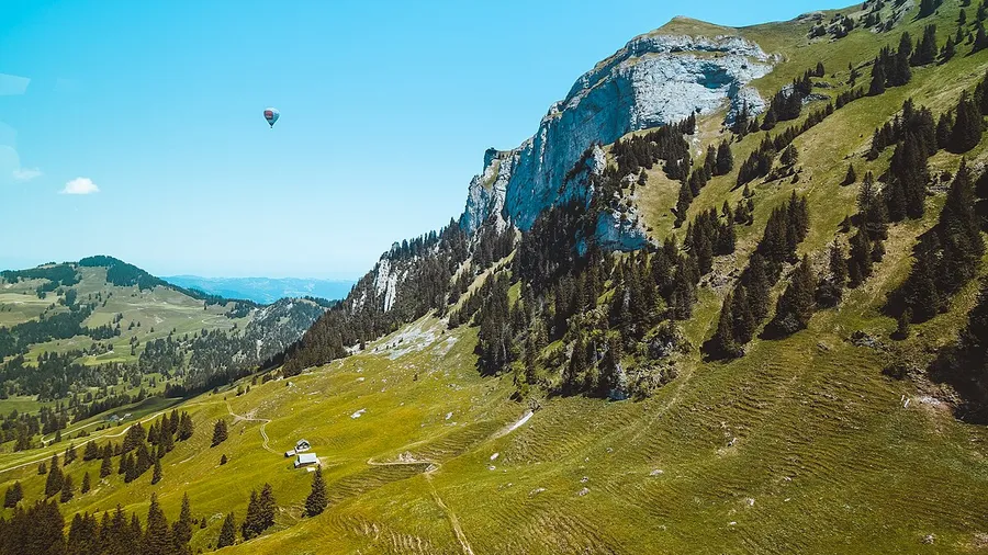
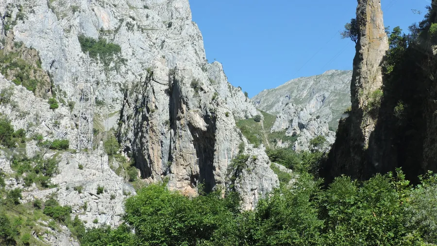
The Sierra del Escudo de Cabuérniga is a mountain barrier separating Cantabria's coastal strip from the inland valleys of Saja and Nansa, tracing an east-west ridgeline with altitudes between 600 and 927 metres. Its highest point, Cueto Gándara (927 m), commands a panorama stretching from the Cantabrian Sea to the north to the wooded valleys to the south. The sierra acts as a natural climate divide: the northern slope receives more rainfall and supports dense Atlantic vegetation, while the southern side — the Cabuérniga and Ruente valleys — gets less direct precipitation and shows greater seasonal temperature variation.
Sessile oak (Quercus petraea) woodland is the dominant plant formation, with centuries-old specimens on the north-facing slopes. Beech (Fagus sylvatica) appears at higher elevations and in shaded aspects, forming mixed stands with holly (Ilex aquifolium) whose red berries persist through winter when the rest of the forest has shed its leaves. On the southern side, the Aá woodland — roughly 400 hectares of mixed forest draining into the River Saja near Ruente — is one of the best-preserved forest patches in the district. The understorey of ferns and bilberries covering the oak-wood floor gives off a damp, earthy scent that deepens after every rain.
For hiking, the ridgeline traverse is the most complete route: a linear walk of about 4–5 hours linking the Collada de Carmona to Cueto Gándara via the Castillo summit (912 m), with roughly 700 metres of accumulated elevation gain and moderate difficulty. The most popular route from the village of Terán climbs to the Ermita de Nuestra Señora de las Lindes on top of the sierra, covering just over 8 kilometres with 350 metres of elevation gain — an accessible trail for walkers of average fitness that rewards with broad views of the Cabuérniga valley.
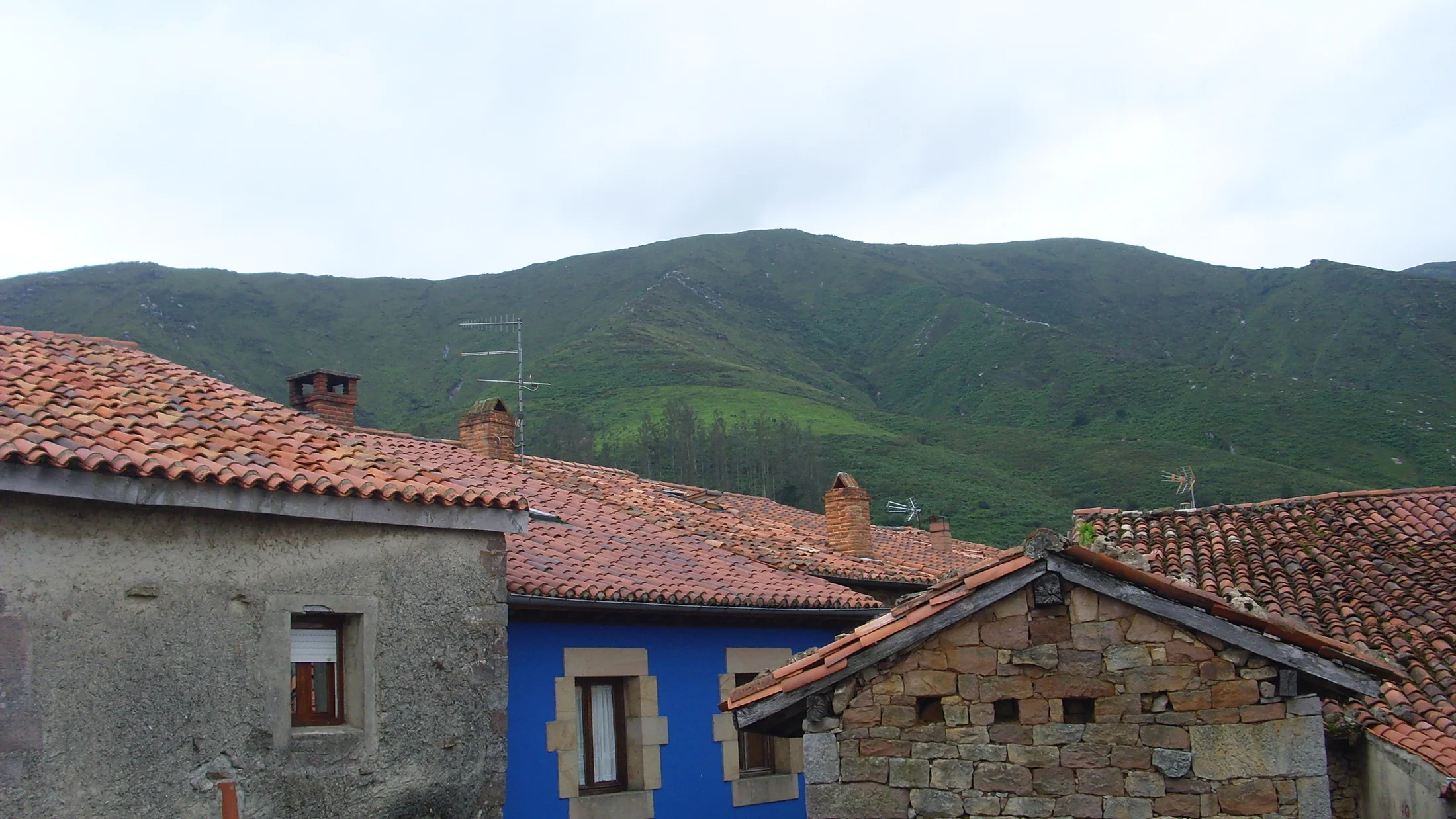
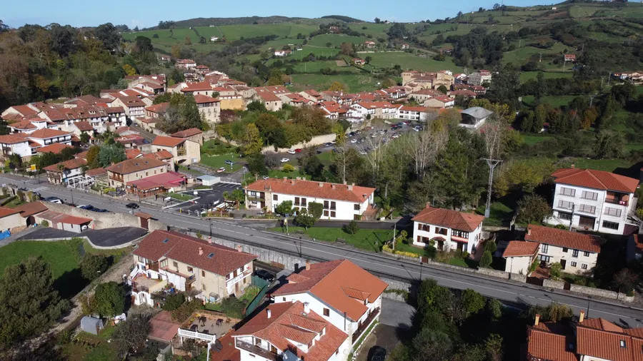
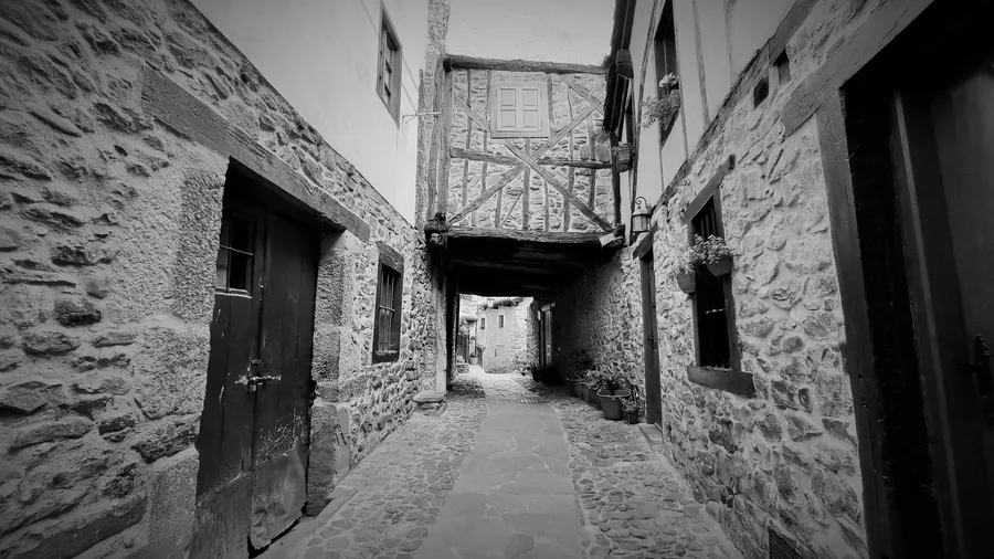
The valleys south of the sierra harbour some of the most representative examples of Cantabrian mountain architecture. Bárcena Mayor, with fewer than 100 registered inhabitants, preserves a cluster of stone-and-timber houses with wooden balconies and heraldic shields that make it one of the most visited villages in the autonomous community. It belongs to the municipality of Los Tojos and is reached by a local road from Cabuérniga that descends to the floor of the Argoza river valley. Local cuisine centres on cocido montañés (mountain stew), game meats and artisan cheeses from the Saja-Nansa district.
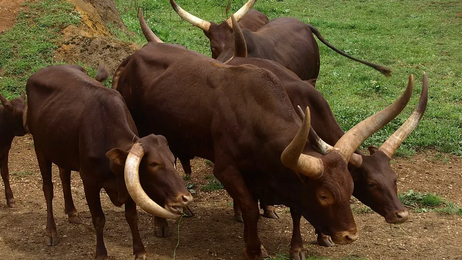
The Sierra del Escudo de Cabuérniga holds Site of Community Importance (SCI) status within the Natura 2000 network, recognising its value as forest habitat for Cantabrian fauna: roe deer, wild boar, pine marten and various forest raptors inhabit the woodland. It does not have natural-park designation, but its inclusion in the European network of protected sites provides a conservation framework that limits urban and agricultural development within its boundaries.