The essentials of Serra de Boumort

  • • Over 1,500 red deer: the largest population in the Catalan Pyrenees, with rutting in September–October
  • • Barranc de l'Infern: 14 km canyon with 200-metre limestone walls
  • • Roc de Cogul at 2,077 m, the serra's summit with open views to the Montsec and Cadí ranges
  • • No reliable mobile coverage or services inside the reserve: genuine off-grid experience
  • • Organyà, home of the earliest Catalan text from the 12th century, as the access base

Description

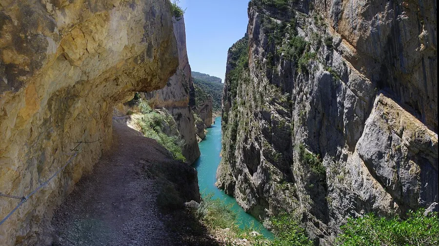
The Serra de Boumort rises in the Lleida Pre-Pyrenees, between the municipalities of Conca de Dalt, Abella de la Conca and Coll de Nargó, roughly 120 kilometres north of Lleida city. Its National Hunting Reserve, established in 1966, covers 13,177 hectares of limestone terrain, with elevations ranging from 580 metres on the Segre valley floor to 2,077 metres at Roc de Cogul, the highest point. The landscape is a maze of deep ravines, sharp ridges and karstic sinkholes cloaked in Scots pine, holm oak and Portuguese oak forest, where morning mist clings to the canopy and silence is broken only by the distant roar of a stag.

The serra holds the largest red deer population in the Catalan Pyrenees, estimated at over 1,500 individuals according to the latest regional censuses. In September and October, the rutting season turns the area into a natural amphitheatre: males bellow continuously from forest clearings, and they can be watched without difficulty from the viewpoints at Coll de Faidella and Pas de les Eugues. Beyond deer, the reserve supports wild boar, roe deer, wildcats and golden eagles, along with reintroduced griffon vulture colonies nesting on the limestone cliffs. In spring, the rock ledges fill with vulture chicks, and golden eagles patrol the canyons hunting rabbits and partridges.

Outdoor activity options are varied but demand some preparation. The Barranc de l'Infern route, 14 km return, drops into a narrow canyon with 200-metre walls; the Coll de Faidella to Sant Sebastià trail, 9 km, crosses black pine forest and opens views towards the Montsec range. Mountain bikers can ride the forest track from Bóixols to Isona, 22 km with 800 metres of accumulated climb. There is no waymarked PR or GR trail network inside the reserve, so carrying a GPS device and a topographic map (ICC 1:25,000, Coll de Nargó sheet) is necessary. Local guides in Organyà also organise wildlife observation outings, particularly during the rutting season.

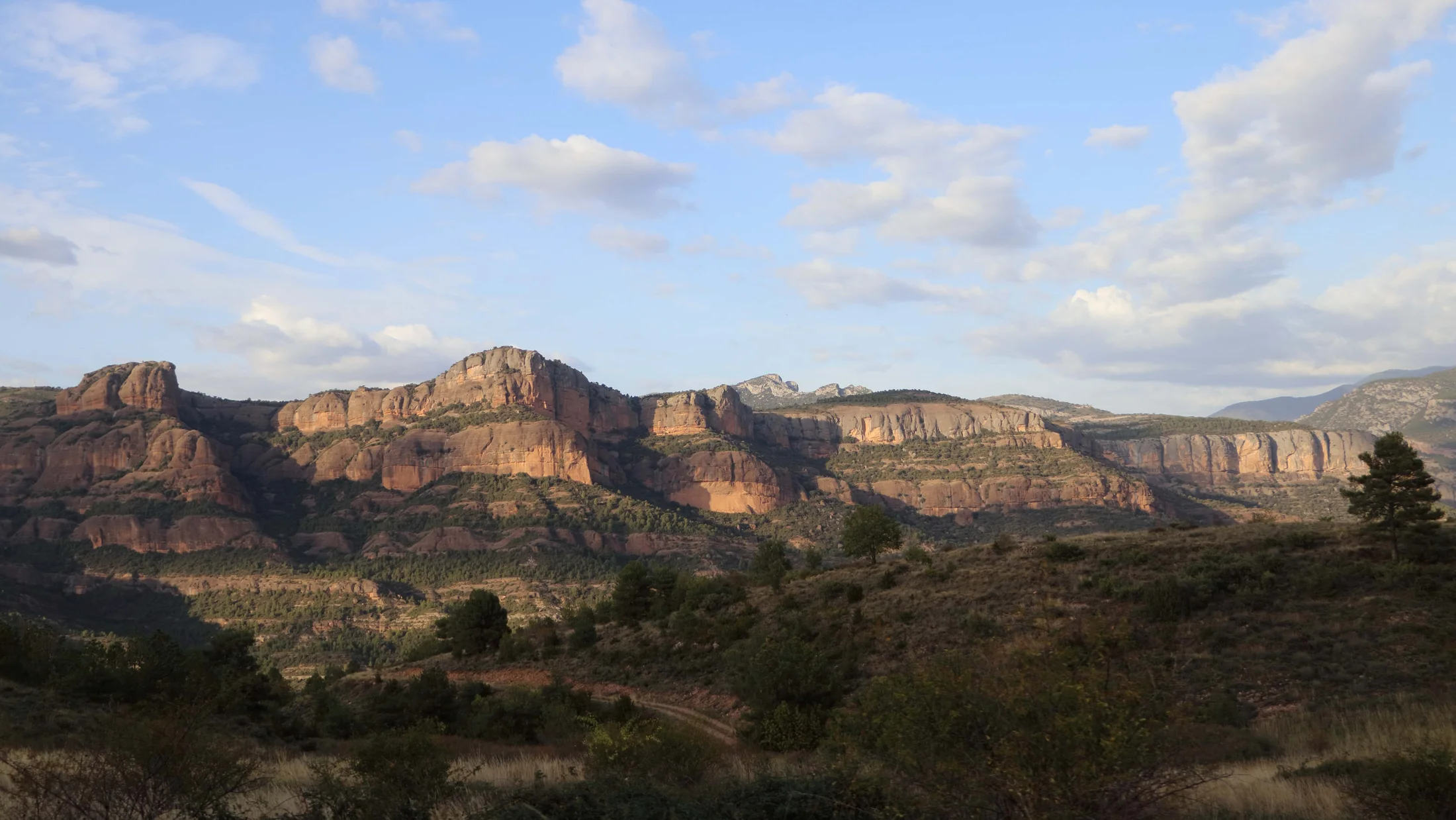
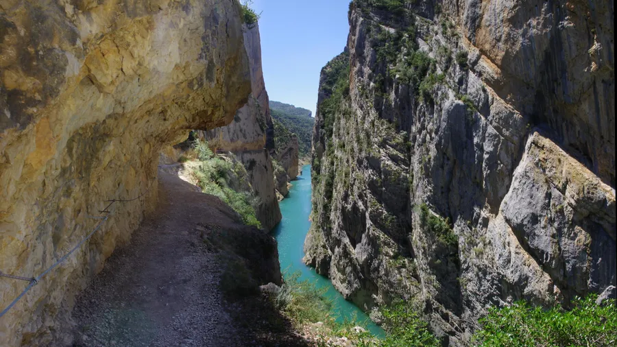
The geological substrate is Cretaceous limestone, eroded over millions of years into a karstic landscape of sinkholes, shafts and water springs that feed small streams at the bottom of the ravines. Vegetation changes with altitude: holm oaks and Portuguese oaks on the lower slopes, Scots pine and Scots pine at mid-elevations, and black pine with subalpine meadows above 1,800 metres. In autumn, the deciduous woodlands add ochre and reddish tones that contrast with the pale grey of the limestone.

The most direct approach is via the L-511 road from Organyà, a village of 800 inhabitants in the Segre gorge known as the site where the earliest written text in Catalan — the 12th-century Homilies d'Organyà — was found. There is no tourist accommodation within the reserve itself, but Organyà and Coll de Nargó offer guesthouses, a campsite and rural houses. Local gastronomy centres on Ripollesa-breed lamb, seasonal wild mushrooms and artisan cheeses from the Pallars region. The Serra de Boumort works as a genuine off-grid destination: no reliable mobile coverage, no bars or beach kiosks, with dirt tracks that require you to park the car and continue on foot. It is a territory for those seeking silence, wild fauna and mountain without intermediaries.

Practical information

Everything you need to know for your visit to Serra de Boumort

How to get there
From Lleida city, take the C-14 north through Ponts and Artesa de Segre to Organyà (about 110 km, 1 h 30 min). From Barcelona, the most direct route follows the C-16 to Berga then the C-462 to Coll de Nargó (185 km, around 2 h 30 min). There is no direct public transport to the reserve; a private car or 4WD is needed for the forest tracks.
Area Information
There are no visitor centres or services inside the reserve. Organyà and Coll de Nargó serve as base villages, with guesthouses, a campsite, rural houses and grocery shops. Forest tracks are unpaved and may close after heavy rain. Check access conditions at the Coll de Nargó town hall.
Geography
Limestone massif in the Catalan Pre-Pyrenees between the Segre and Noguera Pallaresa rivers. Elevation from 580 to 2,077 m (Roc de Cogul). Karstic relief with sinkholes, deep ravines and sharp ridges. Erosion has produced vertical limestone cliffs reaching 200 metres in height.
Flora & Fauna
Scots pine, black pine, holm oak and Portuguese oak forests cover the slopes. Notable fauna: over 1,500 red deer, roe deer, wild boar, wildcats, golden eagles and reintroduced griffon vulture colonies on the limestone cliffs. The September–October rutting season is the main wildlife event.

Things to do

Find the best plans and things to do in Serra de Boumort

20

Accommodations

Best accommodation options in Serra de Boumort

Loading accommodation options...

Frequently Asked Questions

Get answers about Serra de Boumort

Yes, the rut takes place between the last week of September and the first two weeks of October. The best observation points are the viewpoints at Coll de Faidella and Pas de les Eugues, where males bellow from forest clearings. Arrive at dawn or dusk and remain quiet to avoid disturbing the animals' behaviour.
It depends on the route. The L-511 road to Organyà and the main tracks are passable by standard car in dry conditions. However, the secondary tracks that penetrate the reserve have rough dirt sections with ruts and steep gradients where a 4WD or high-clearance vehicle is strongly recommended, especially after rain.
Not reliably. In the deep valleys and most of the reserve there is no signal from any operator. Some elevated points, such as Coll de Faidella, may pick up intermittent signal. It is essential to carry an independent GPS device and inform someone of your planned route before setting out.
Wild camping is not permitted within the National Hunting Reserve. Organyà has a campsite open from June to September, and Coll de Nargó and nearby villages offer rural houses and guesthouses. If you plan multi-day routes, the option is to return each night to one of these bases or request permission from the managing body.
The Barranc de l'Infern route (14 km return) is the most striking for its narrow canyon with 200-metre walls. The Coll de Faidella to Sant Sebastià trail (9 km) combines black pine forest with views of the Montsec range. No route is waymarked with PR or GR signs; carrying an ICC 1:25,000 topographic map and a GPS device is mandatory.