Parque Natural Baixa Limia-Serra do Xurés covers 27,468 hectares in the southeastern corner of Galicia, in the province of Ourense, bordering Portugal, where the twin park Peneda-Gerês forms with it a cross-border reserve recognised by the European Union. The park's relief is organised around the Serra do Xurés, with summits above 1,500 metres at Pico Fontefría, and the lower basin of the Limia river, which runs channelled between granite slopes and woodland before crossing into Portugal towards the Lindoso reservoir.
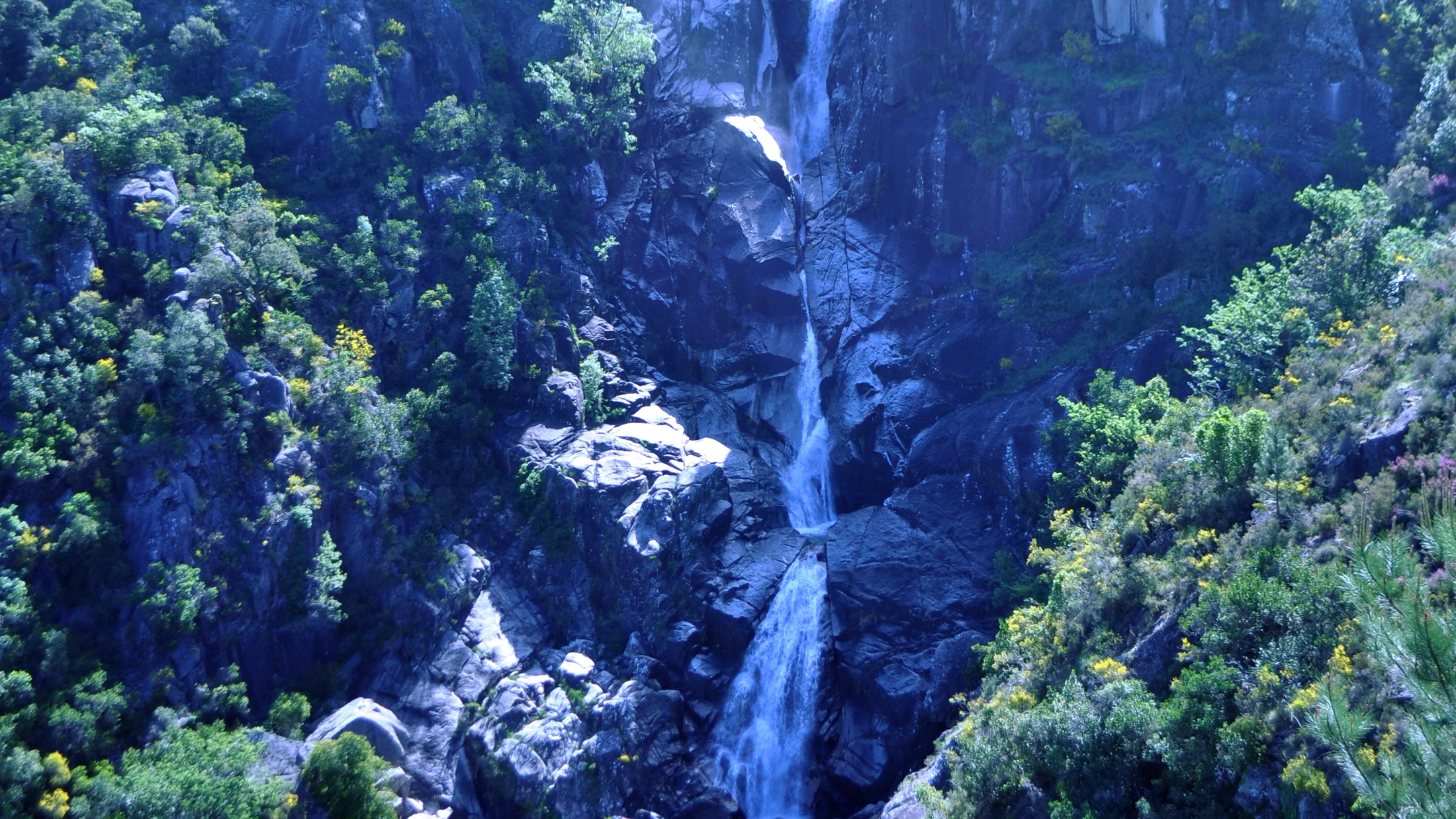
Granite dominates the geology. Differential erosion has left boulder fields, isolated rocks and chaotic block formations across the summits and slopes. The brañas — Atlantic valley-floor bogs — retain water through every season and maintain the constant humidity of a landscape that receives over 1,500 mm of rain annually in the most exposed zones. In autumn, mist rises from the Limia and spills over the cols, keeping the valley floors in shade long after the ridges are lit.
The park's fauna includes one of the last stable Iberian wolf populations in Galicia, using the mountain terrain and north-facing woods for movement. The roe deer, Capreolus capreolus, is abundant along forest edges and in heather, Erica spp., and broom, Cytisus purgans, scrubland. The otter, Lutra lutra, occupies the upper Limia and its tributaries, and the Iberian desman, Galemys pyrenaicus, a vulnerable endemic to the Iberian Peninsula, lives in oxygenated streams with stony beds within the park. Golden eagle, Aquila chrysaetos, and peregrine falcon, Falco peregrinus, nest on the granite outcrops.
The vegetation cover reflects the transition between the Atlantic and Mediterranean domains. Valley floors and north slopes hold pedunculate and Pyrenean oak, Quercus robur and Quercus pyrenaica, with bracken and ericaceous understorey. South-facing slopes and higher altitudes are covered in heather-gorse scrub with Calluna vulgaris, Erica cinerea and Ulex europaeus. Alder gallery woodland along the Limia and its tributaries, and holly, Ilex aquifolium, stands in north-facing mid-altitude gullies are the most botanically distinctive enclaves.
The park also holds a cultural heritage of the first order tied to the historical passage of travellers and pilgrims. The Vía Nova, a first-century Roman road linking Braga with Astorga, crosses the park from south to north and retains standing milestones on the Portela do Home section. Iron Age hillforts mark the granite summits and spurs, and vernacular stone villages such as Entrimo and Lobios preserve a built fabric coherent with the landscape. This layering of natural and historical heritage makes the park a destination with multiple dimensions.