Arcediano Path (historic trail)
13km medieval trail from León to Asturias. Marked as PR, free and open access.
Duration 5 h 30 min
View more
Free
Historic 13km medieval trail from Oseja de Sajambre to Amieva (Asturias), with 900m elevation through beech and oak woodland. Cultural heritage of the National Park.
On your own — Activity you can do on your own, no guide needed
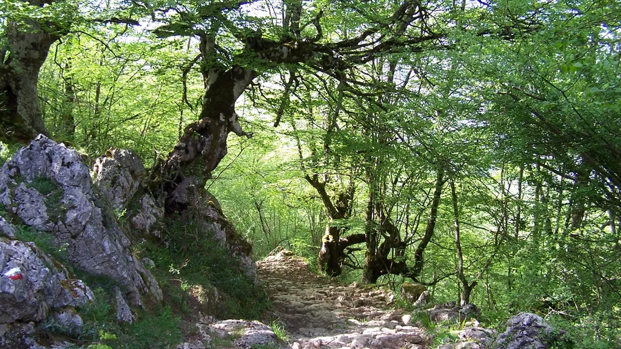
Arcediano Path, Oseja de Sajambre
Spring, Summer, Autumn
On your own
Everything you need to know about Arcediano Path, Oseja de Sajambre
Best available offers for Arcediano Path, Oseja de Sajambre
13km medieval trail from León to Asturias. Marked as PR, free and open access.
Find where to stay near Arcediano Path, Oseja de Sajambre
Photos and images of Arcediano Path, Oseja de Sajambre
Get answers about Arcediano Path, Oseja de Sajambre