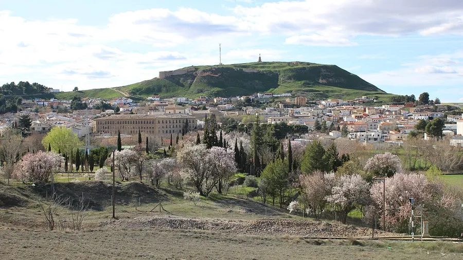
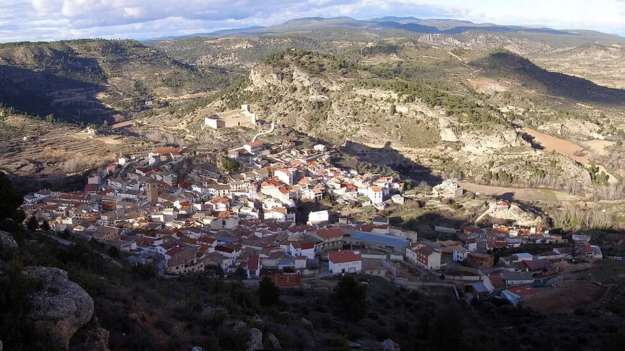
Buendía is a Cuenca municipality set in the gorges of the River Guadiela, alongside the reservoir that bears its name and that for decades was Spain's largest artificial lake. The reservoir and the Guadiela gorges form a karstic landscape of great value where water sports coexist with hiking and climbing in a setting of high ecological worth. Kayaking and sailing are the most sought-after activities on the calm reservoir waters, especially during summer months.
Hiking through the Guadiela gorge...
Buendía is a Cuenca municipality set in the gorges of the River Guadiela, alongside the reservoir that bears its name and that for decades was Spain's largest artificial lake. The reservoir and the Guadiela gorges form a karstic landscape of great value where water sports coexist with hiking and climbing in a setting of high ecological worth. Kayaking and sailing are the most sought-after activities on the calm reservoir waters, especially during summer months.
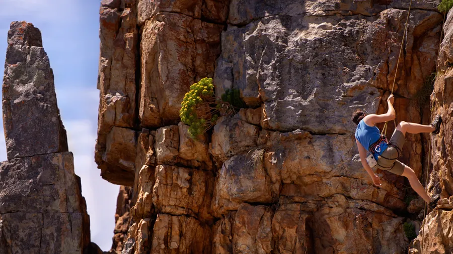
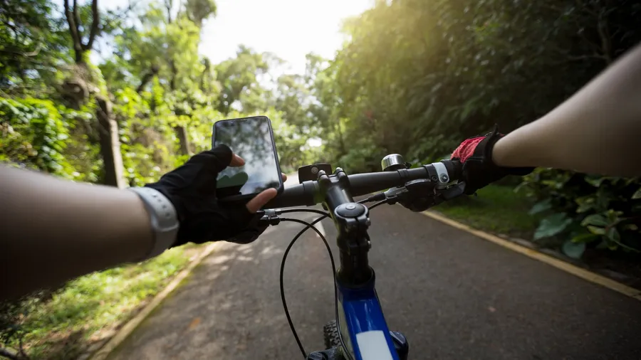
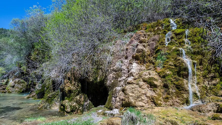
Hiking through the Guadiela gorges reveals canyons of vertical limestone walls with natural viewpoints over the reservoir. Rock climbing has established sectors for different levels on the same gorge walls. Sport fishing, with both free and restricted stretches depending on the area, attracts enthusiasts from across the region. Mountain biking can explore tracks and trails around the reservoir perimeter and surrounding villages in a low-density territory with little tourist pressure.
Highlights
• Kayaking and sailing on Buendía reservoir, historically Spain's largest artificial lake
• Hiking through the Guadiela gorges between limestone canyon walls
• Rock climbing on the vertical gorge walls with sectors for all levels
• Sport fishing and mountain biking in a low-impact karstic landscape
Best time to visit
Spring is ideal for hiking and climbing with mild temperatures and the reservoir well filled. Summer is the peak season for kayaking and sailing. Autumn offers good conditions for mountain biking and fishing with fewer visitors.
Practical tips
The reservoir level varies with the hydrological year, which can affect navigation possibilities. Check the current level on the Tajo River Authority website before planning water activities.
Is there a kayak hire company on the Buendía reservoir?
Yes, there are water activity companies operating on the reservoir during the summer season. Some also offer guided kayak tours through the Guadiela gorges. Advance booking is recommended in July and August.
What is the best hiking route in the Guadiela gorges?
The Hoces del Guadiela trail runs between the village of Buendía and the reservoir, with sections alongside the water and climbs to viewpoints overlooking the canyon. It is around 10 km long and rated moderate difficulty.
Can you fish freely on the Buendía reservoir?
Fishing on the reservoir is regulated by the Junta de Comunidades de Castilla-La Mancha. There are both free and restricted stretches. A regional fishing licence is mandatory and closed seasons must be observed.