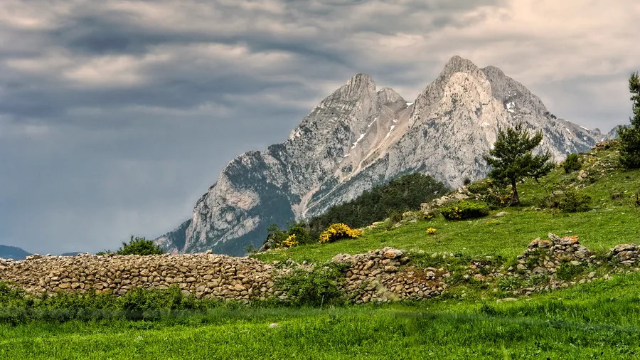
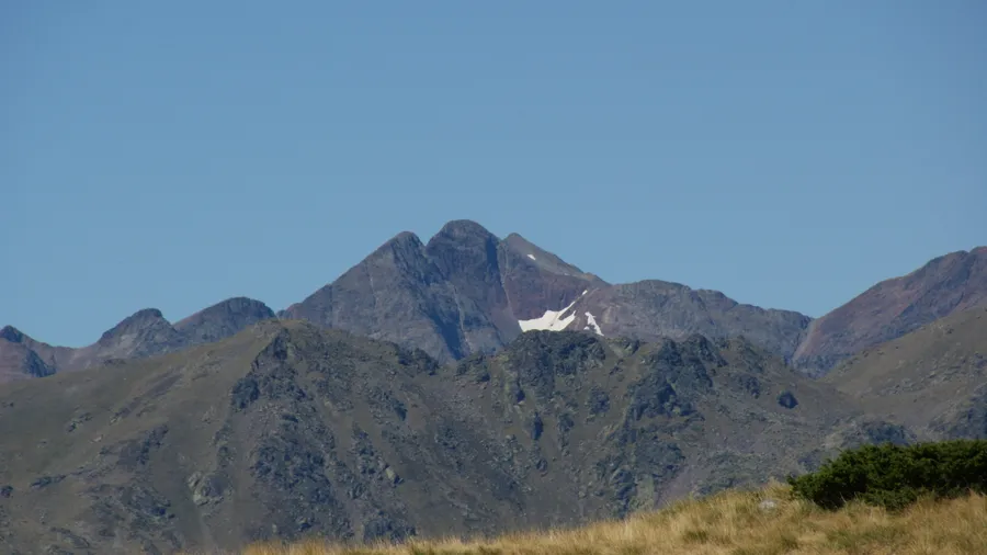
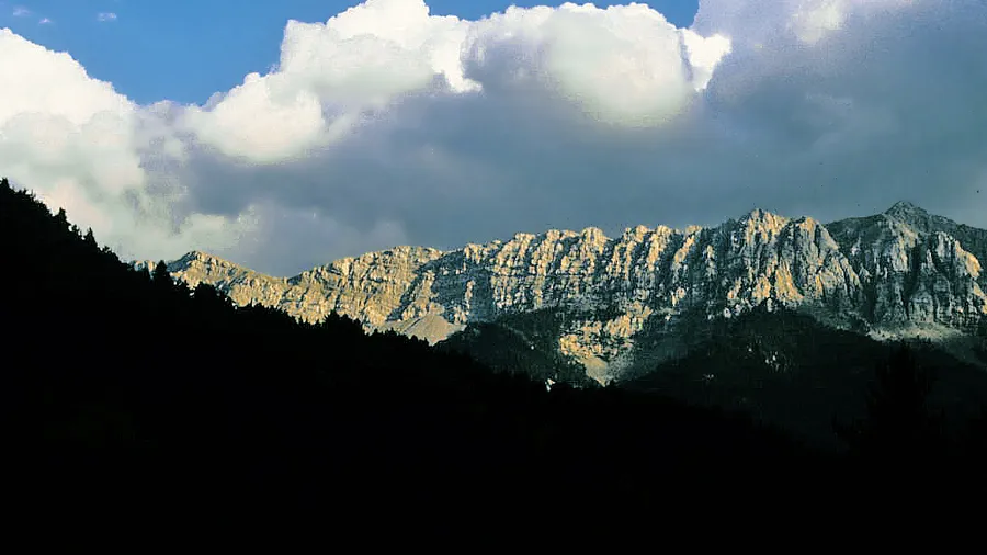
The Parque Natural del Alt Pirineu covers 69,850 hectares in the far northwest of Catalonia, within the comarca of Pallars Sobirà and part of Alt Urgell, making it Catalonia's largest natural park. The territory encompasses the upper basins of the Àneu, Cardós, and Ferrera valleys, as well as the Pica d'Estats massif, whose 3,143 metres make it the highest point in the Principality. The relief is that of high Pyrenean mountains: glacial cirques with polished-rock lakes, granite and slate ridgelines separating Spain from France, and U-shaped valleys where the Noguera Pallaresa and Noguera de Cardós rivers descend with snowmelt water.
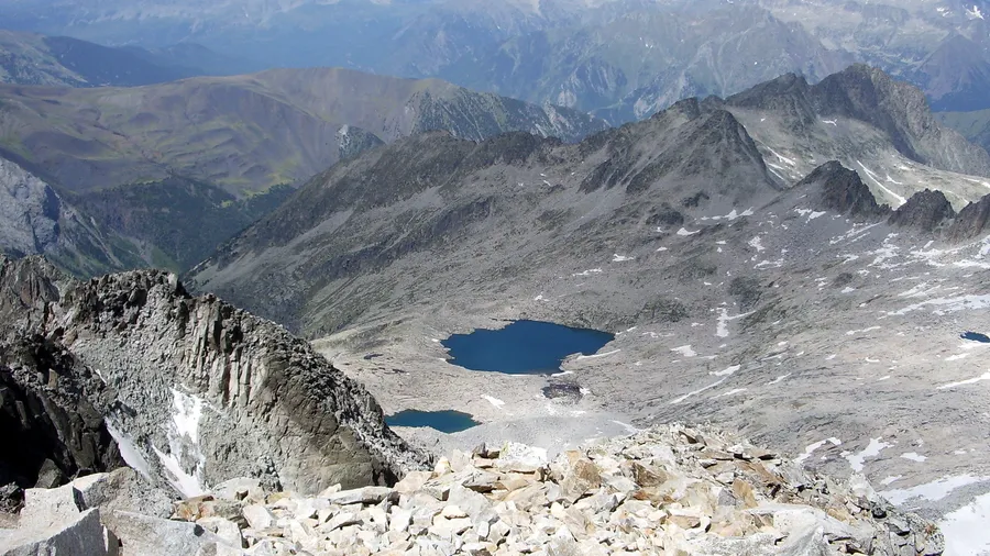
The Pica d'Estats draws hundreds of hikers each summer from the Pla de Boavi plateau or from the Certascan refuge, the highest in the Catalan Pyrenees at 2,240 metres above the lake of the same name. The standard ascent from Boldís Sobirà accumulates around 1,800 metres of elevation gain and requires a full day; the terrain mixes forest tracks, alpine grass paths, and a final rocky section with no technical difficulty. In the Certascan cirque, the largest lake in the Catalan Pyrenees at 28 hectares, the water remains cold even in August and reflects the surrounding ridges at sunset with a clarity that shifts as the light fades.
The park is one of the last refuges of the brown bear (Ursus arctos) in the eastern Pyrenees. The Pyrenean subpopulation, of Slovenian origin and introduced from 1996, uses the Alt Pirineu and Pallars Sobirà as a regular movement corridor. Sightings are infrequent, but tracks and claw marks on pine trees are regular signs in the high mountain zones between Cardós and Espot. The bearded vulture (Gypaetus barbatus) breeds stably in the park; the Pyrenean capercaillie (Tetrao urogallus aquitanicus) maintains a small population in the densest silver fir forests in the northern zone.
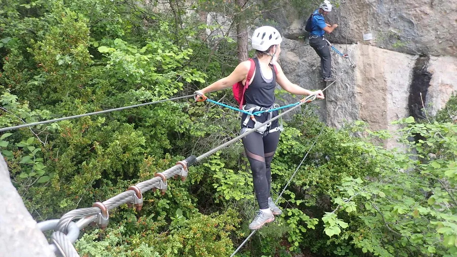
The Alt Pirineu has held Starlight Reserve certification since 2013, one of the first in Spain, for the quality of its night sky. The absence of light pollution above 1,500 metres allows the Milky Way to be seen with the naked eye from late June through September. The villages of Esterri d'Àneu, Lladorre, and Tírvia serve as bases for ski touring in winter, GR trail routes in summer, and cross-country skiing on the cols of the Cardós basin.
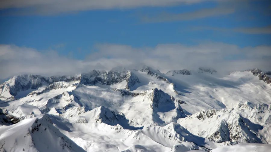
Ski touring in the Alt Pirineu has grown steadily over the past decade, driven by reliable snowfall, an absence of crowds, and a network of accessible cols without lifts. The most frequented itineraries run from Tavascan to Coll de Conflent (2,485 m) and from Alins to Pla de Boavi (2,000 m), both with aspects that hold good-quality snow between January and March. The valley villages of Lladorre, Tírvia, and Vall de Cardós offer rural accommodation that caters specifically to ski-touring groups.